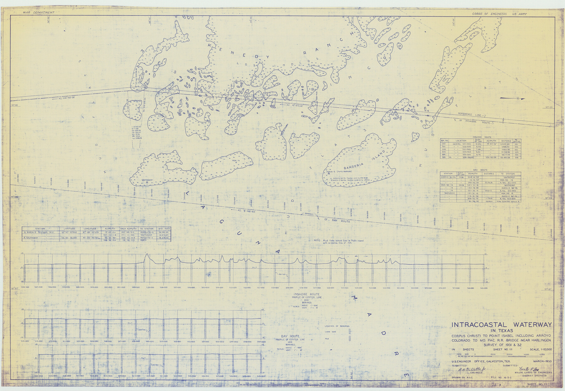
Intracoastal Waterway in Texas - Corpus Christi to Point Isabel including Arroyo Colorado to Mo. Pac. R.R. Bridge Near Harlingen
-
Map/Doc
61855
-
Collection
General Map Collection
-
Object Dates
1933 (Creation Date)
-
Subjects
Intracoastal Waterways
-
Height x Width
28.2 x 40.7 inches
71.6 x 103.4 cm
Part of: General Map Collection
Coast of Texas Between Brazos River and Matagorda Bay

Print $40.00
- Digital $50.00
Coast of Texas Between Brazos River and Matagorda Bay
1853
Size 32.6 x 72.1 inches
Map/Doc 69977
Bowie County Working Sketch 22

Print $40.00
- Digital $50.00
Bowie County Working Sketch 22
1968
Size 49.0 x 37.8 inches
Map/Doc 67426
Lipscomb County Working Sketch 8

Print $20.00
- Digital $50.00
Lipscomb County Working Sketch 8
1982
Size 42.7 x 23.6 inches
Map/Doc 70584
Burleson County Working Sketch 29

Print $20.00
- Digital $50.00
Burleson County Working Sketch 29
1981
Size 24.7 x 24.7 inches
Map/Doc 67748
[Surveys in the Jefferson District: G. A. Patillo's league, Big Sandy, Sabine Bay]
![69727, [Surveys in the Jefferson District: G. A. Patillo's league, Big Sandy, Sabine Bay], General Map Collection](https://historictexasmaps.com/wmedia_w700/maps/69727-1.tif.jpg)
Print $20.00
- Digital $50.00
[Surveys in the Jefferson District: G. A. Patillo's league, Big Sandy, Sabine Bay]
1846
Size 14.4 x 20.9 inches
Map/Doc 69727
Liberty County Rolled Sketch J

Print $20.00
- Digital $50.00
Liberty County Rolled Sketch J
1943
Size 29.1 x 38.0 inches
Map/Doc 10646
Sherman County Rolled Sketch 12

Print $40.00
- Digital $50.00
Sherman County Rolled Sketch 12
1951
Size 63.9 x 11.3 inches
Map/Doc 10611
Map of Leon County

Print $20.00
- Digital $50.00
Map of Leon County
1873
Size 26.2 x 21.9 inches
Map/Doc 3807
Right of Way and Track Map Houston & Texas Central R.R. operated by the T. and N. O. R.R. Co., Fort Worth Branch

Print $40.00
- Digital $50.00
Right of Way and Track Map Houston & Texas Central R.R. operated by the T. and N. O. R.R. Co., Fort Worth Branch
1918
Size 30.7 x 56.4 inches
Map/Doc 64542
Dickens County Working Sketch Graphic Index

Print $20.00
- Digital $50.00
Dickens County Working Sketch Graphic Index
1963
Size 42.5 x 33.6 inches
Map/Doc 76523
Baylor County Sketch File 31

Print $6.00
- Digital $50.00
Baylor County Sketch File 31
1880
Size 14.3 x 8.9 inches
Map/Doc 14235
United States - Gulf Coast - From Latitude 26° 33' to the Rio Grande Texas

Print $20.00
- Digital $50.00
United States - Gulf Coast - From Latitude 26° 33' to the Rio Grande Texas
1919
Size 27.5 x 18.4 inches
Map/Doc 72854
You may also like

Galveston County Rolled Sketch 27B

Print $20.00
- Digital $50.00
Galveston County Rolled Sketch 27B
Size 13.1 x 10.4 inches
Map/Doc 5963
Edwards County Working Sketch 129

Print $20.00
- Digital $50.00
Edwards County Working Sketch 129
1981
Size 33.6 x 41.3 inches
Map/Doc 69005
Hardeman County Rolled Sketch 25

Print $20.00
- Digital $50.00
Hardeman County Rolled Sketch 25
1985
Size 20.9 x 15.1 inches
Map/Doc 6075
Working Sketch in Crosby, Garza, Lynn, and Lubbock Counties

Print $20.00
- Digital $50.00
Working Sketch in Crosby, Garza, Lynn, and Lubbock Counties
1904
Size 33.7 x 35.6 inches
Map/Doc 92546
Wichita County Sketch File E

Print $40.00
- Digital $50.00
Wichita County Sketch File E
Size 14.2 x 15.6 inches
Map/Doc 40072
Navigation Maps of Gulf Intracoastal Waterway, Port Arthur to Brownsville, Texas

Print $4.00
- Digital $50.00
Navigation Maps of Gulf Intracoastal Waterway, Port Arthur to Brownsville, Texas
1951
Size 16.7 x 21.3 inches
Map/Doc 65444
Hudspeth County Working Sketch 53-2

Print $40.00
- Digital $50.00
Hudspeth County Working Sketch 53-2
1988
Size 49.9 x 43.3 inches
Map/Doc 78210
Map of the State of Texas from the latest authorities

Print $20.00
- Digital $50.00
Map of the State of Texas from the latest authorities
1854
Size 13.2 x 16.3 inches
Map/Doc 93761
Navigation Maps of Gulf Intracoastal Waterway, Port Arthur to Brownsville, Texas

Print $4.00
- Digital $50.00
Navigation Maps of Gulf Intracoastal Waterway, Port Arthur to Brownsville, Texas
1951
Size 16.7 x 21.5 inches
Map/Doc 65442
Wood County Rolled Sketch 10

Print $20.00
- Digital $50.00
Wood County Rolled Sketch 10
Size 30.1 x 26.1 inches
Map/Doc 76416
Kleberg County Boundary File 4

Print $22.00
- Digital $50.00
Kleberg County Boundary File 4
Size 14.2 x 8.6 inches
Map/Doc 64986