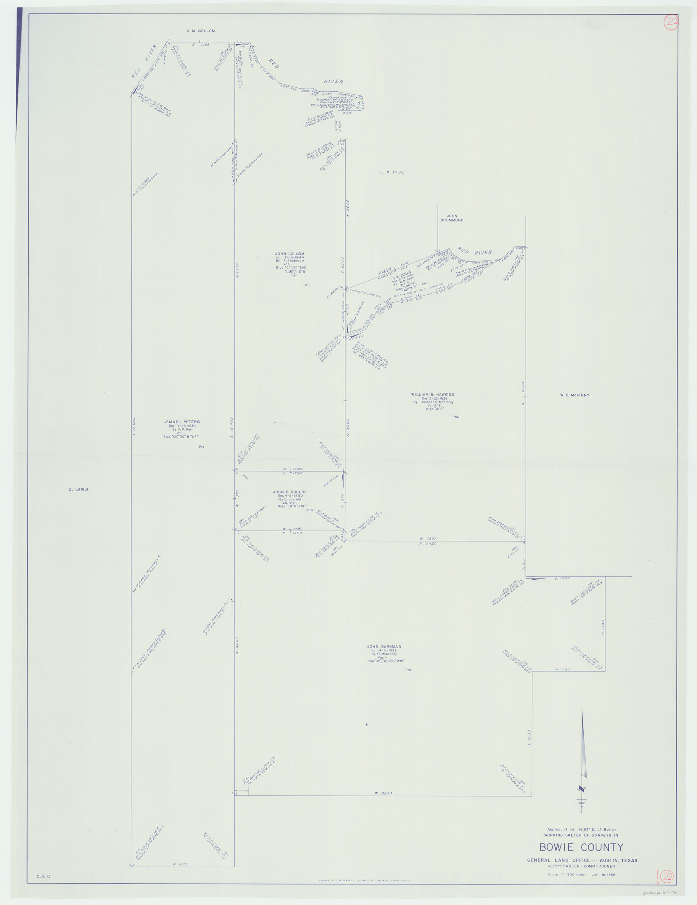
Bowie County Working Sketch 22
-
Map/Doc
67426
-
Collection
General Map Collection
-
Object Dates
1/15/1968 (Creation Date)
-
People and Organizations
Jerry Sadler (GLO Commissioner)
-
Counties
Bowie
-
Subjects
Surveying Working Sketch
-
Height x Width
49.0 x 37.8 inches
124.5 x 96.0 cm
-
Scale
1" = 300 varas
-
Comments
Surveys located about 11 miles North 63 degrees East of Boston, Texas.
Part of: General Map Collection
Kinney County Working Sketch 45

Print $20.00
- Digital $50.00
Kinney County Working Sketch 45
1978
Size 28.6 x 26.5 inches
Map/Doc 70227
Flight Mission No. CRK-7P, Frame 80, Refugio County

Print $20.00
- Digital $50.00
Flight Mission No. CRK-7P, Frame 80, Refugio County
1956
Size 18.4 x 22.2 inches
Map/Doc 86951
Harris County Sketch File 80b

Print $20.00
- Digital $50.00
Harris County Sketch File 80b
Size 31.5 x 17.2 inches
Map/Doc 11668
Angelina County Sketch File 21

Print $6.00
- Digital $50.00
Angelina County Sketch File 21
1883
Size 8.8 x 4.0 inches
Map/Doc 13038
Flight Mission No. DAG-24K, Frame 150, Matagorda County

Print $20.00
- Digital $50.00
Flight Mission No. DAG-24K, Frame 150, Matagorda County
1953
Size 18.5 x 22.2 inches
Map/Doc 86564
Madison County Working Sketch 13

Print $20.00
- Digital $50.00
Madison County Working Sketch 13
1995
Size 15.5 x 22.9 inches
Map/Doc 70775
Current Miscellaneous File 9

Print $66.00
- Digital $50.00
Current Miscellaneous File 9
Size 6.5 x 8.2 inches
Map/Doc 73741
The Texas & Oklahoma Official Railway & Hotel Guide Map

Print $20.00
- Digital $50.00
The Texas & Oklahoma Official Railway & Hotel Guide Map
1917
Size 23.6 x 24.1 inches
Map/Doc 94032
Brewster County Sketch File 48

Print $4.00
- Digital $50.00
Brewster County Sketch File 48
1940
Size 11.4 x 9.2 inches
Map/Doc 16327
United States - Gulf Coast Texas - Southern part of Laguna Madre

Print $20.00
- Digital $50.00
United States - Gulf Coast Texas - Southern part of Laguna Madre
1941
Size 26.7 x 18.5 inches
Map/Doc 72942
Harrison County Working Sketch 6

Print $20.00
- Digital $50.00
Harrison County Working Sketch 6
1954
Size 27.6 x 38.7 inches
Map/Doc 66026
Karnes County Working Sketch 8

Print $40.00
- Digital $50.00
Karnes County Working Sketch 8
1962
Size 51.8 x 36.0 inches
Map/Doc 66656
You may also like
Old Miscellaneous File 27a

Print $142.00
- Digital $50.00
Old Miscellaneous File 27a
Size 14.2 x 8.8 inches
Map/Doc 75651
Hardin County Rolled Sketch 15

Print $20.00
- Digital $50.00
Hardin County Rolled Sketch 15
Size 26.6 x 29.0 inches
Map/Doc 6086
Trinity County Sketch File 44

Print $8.00
- Digital $50.00
Trinity County Sketch File 44
1993
Size 11.3 x 9.0 inches
Map/Doc 38599
Panola County Sketch File 14

Print $4.00
- Digital $50.00
Panola County Sketch File 14
1873
Size 12.2 x 5.2 inches
Map/Doc 33472
Nueces County NRC Article 33.136 Location Key Sheet

Print $20.00
- Digital $50.00
Nueces County NRC Article 33.136 Location Key Sheet
1975
Size 27.0 x 22.8 inches
Map/Doc 77033
Laguna Madre from Rainy Triangulation Station to Mosquito Triangulation Station

Print $40.00
- Digital $50.00
Laguna Madre from Rainy Triangulation Station to Mosquito Triangulation Station
1881
Size 31.4 x 53.7 inches
Map/Doc 73490

Reeves County Rolled Sketch 13

Print $40.00
- Digital $50.00
Reeves County Rolled Sketch 13
1927
Size 23.6 x 72.2 inches
Map/Doc 9851
Map Prepared from Data in Original Field Book by W.D. Twichell

Print $40.00
- Digital $50.00
Map Prepared from Data in Original Field Book by W.D. Twichell
Size 64.2 x 39.9 inches
Map/Doc 89750

P.J. Lawless Addition of part of Outlots 29 and 30, Division D, Austin, Texas

Print $20.00
- Digital $50.00
P.J. Lawless Addition of part of Outlots 29 and 30, Division D, Austin, Texas
1916
Size 13.7 x 17.1 inches
Map/Doc 620
Austin County Sketch File 13

Print $40.00
- Digital $50.00
Austin County Sketch File 13
Size 13.9 x 13.2 inches
Map/Doc 10877