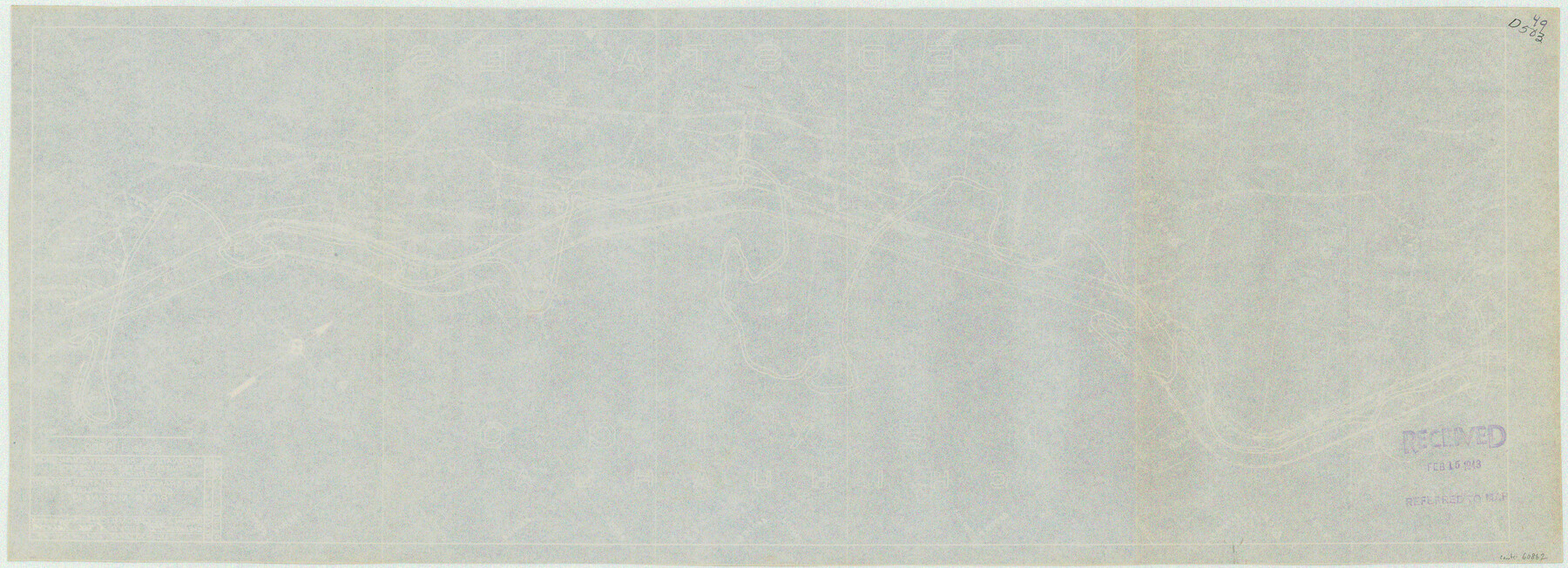
Rio Grande Rectification Project, El Paso and Juarez Valley
Rio Grande from El Paso-Hudspeth Co. line east to about Quitman Canyon
N-1-9
-
Map/Doc
60862
-
Collection
General Map Collection
-
Object Dates
1935 (Creation Date)
-
Subjects
River Surveys Texas Boundaries
-
Height x Width
10.7 x 29.6 inches
27.2 x 75.2 cm
Part of: General Map Collection
Flight Mission No. DAG-17K, Frame 128, Matagorda County

Print $20.00
- Digital $50.00
Flight Mission No. DAG-17K, Frame 128, Matagorda County
1952
Size 18.6 x 22.3 inches
Map/Doc 86348

Flight Mission No. CRC-1R, Frame 157, Chambers County

Print $20.00
- Digital $50.00
Flight Mission No. CRC-1R, Frame 157, Chambers County
1956
Size 18.8 x 22.5 inches
Map/Doc 84719
Presidio County Working Sketch 85

Print $20.00
- Digital $50.00
Presidio County Working Sketch 85
1970
Size 37.0 x 30.8 inches
Map/Doc 71762
Hardin County Working Sketch 2

Print $20.00
- Digital $50.00
Hardin County Working Sketch 2
1903
Size 23.2 x 21.9 inches
Map/Doc 63400
Flight Mission No. BQY-4M, Frame 33, Harris County

Print $20.00
- Digital $50.00
Flight Mission No. BQY-4M, Frame 33, Harris County
1953
Size 18.7 x 22.4 inches
Map/Doc 85248

PSL Field Notes for Blocks 99, 100, 101, 103, 104, 105, 106, 107, 108, and 109 in Culberson County

PSL Field Notes for Blocks 99, 100, 101, 103, 104, 105, 106, 107, 108, and 109 in Culberson County
Map/Doc 81665
[Sketch for Mineral Applications 26885-6 - Reagan and Crockett Cos., W. H. Bland]
![2854, [Sketch for Mineral Applications 26885-6 - Reagan and Crockett Cos., W. H. Bland], General Map Collection](https://historictexasmaps.com/wmedia_w700/maps/2854.tif.jpg)
Print $20.00
- Digital $50.00
[Sketch for Mineral Applications 26885-6 - Reagan and Crockett Cos., W. H. Bland]
1932
Size 41.5 x 36.6 inches
Map/Doc 2854
Flight Mission No. DCL-7C, Frame 74, Kenedy County

Print $20.00
- Digital $50.00
Flight Mission No. DCL-7C, Frame 74, Kenedy County
1943
Size 15.4 x 15.1 inches
Map/Doc 86060

Jefferson County NRC Article 33.136 Sketch 8

Print $20.00
- Digital $50.00
Jefferson County NRC Article 33.136 Sketch 8
2007
Size 20.1 x 18.7 inches
Map/Doc 87503
You may also like
Kerr County Rolled Sketch 23

Print $20.00
- Digital $50.00
Kerr County Rolled Sketch 23
1966
Size 39.3 x 27.5 inches
Map/Doc 6503
Right of Way and Track Map, the Missouri, Kansas and Texas Ry. of Texas operated by the Missouri, Kansas and Texas Ry. of Texas, San Antonio Division

Print $40.00
- Digital $50.00
Right of Way and Track Map, the Missouri, Kansas and Texas Ry. of Texas operated by the Missouri, Kansas and Texas Ry. of Texas, San Antonio Division
1918
Size 25.2 x 58.8 inches
Map/Doc 64584
Dimmit County Working Sketch 48

Print $40.00
- Digital $50.00
Dimmit County Working Sketch 48
1980
Size 78.7 x 43.7 inches
Map/Doc 68709
Bell County Sketch File 25a

Print $4.00
- Digital $50.00
Bell County Sketch File 25a
1880
Size 8.9 x 10.9 inches
Map/Doc 14424
Harris County Historic Topographic 7

Print $20.00
- Digital $50.00
Harris County Historic Topographic 7
1916
Size 20.4 x 23.4 inches
Map/Doc 65817
[Surveys along the Polk and Tyler County border]
![333, [Surveys along the Polk and Tyler County border], General Map Collection](https://historictexasmaps.com/wmedia_w700/maps/333.tif.jpg)
Print $2.00
- Digital $50.00
[Surveys along the Polk and Tyler County border]
Size 9.3 x 6.0 inches
Map/Doc 333
Briscoe County

Print $20.00
- Digital $50.00
Briscoe County
1879
Size 21.7 x 19.3 inches
Map/Doc 3332
Texas, Empire State of the Southwest

Texas, Empire State of the Southwest
1911
Size 7.9 x 5.5 inches
Map/Doc 96604
Uvalde County Sketch File 26-1

Print $6.00
- Digital $50.00
Uvalde County Sketch File 26-1
1930
Size 11.5 x 8.9 inches
Map/Doc 39013
Uvalde County Sketch File 12A

Print $20.00
- Digital $50.00
Uvalde County Sketch File 12A
1887
Size 19.2 x 30.0 inches
Map/Doc 12527
Wichita County Sketch File 19a

Print $20.00
- Digital $50.00
Wichita County Sketch File 19a
1892
Size 27.0 x 21.7 inches
Map/Doc 12682
[T.& P.R.R.Co., Block 1]
![92963, [T.& P.R.R.Co., Block 1], Twichell Survey Records](https://historictexasmaps.com/wmedia_w700/maps/92963-1.tif.jpg)
Print $20.00
- Digital $50.00
[T.& P.R.R.Co., Block 1]
Size 37.5 x 31.6 inches
Map/Doc 92963