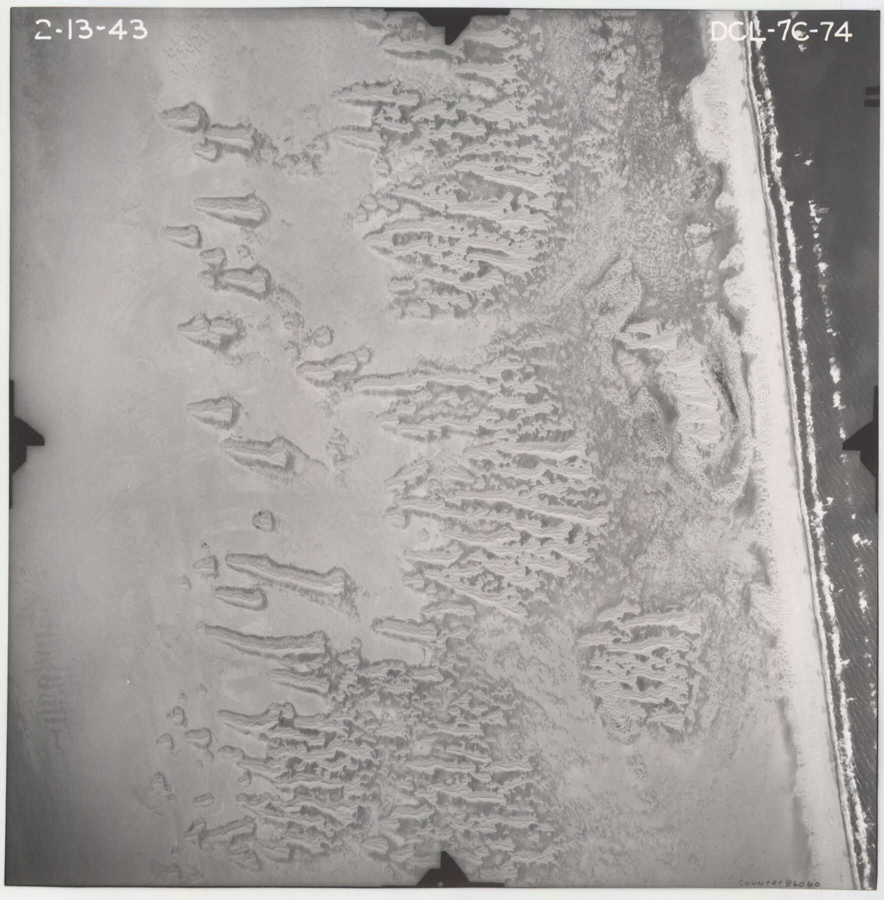
Flight Mission No. DCL-7C, Frame 74, Kenedy County
DCL-7C-74
-
Map/Doc
86060
-
Collection
General Map Collection
-
Object Dates
1943/2/13 (Creation Date)
-
People and Organizations
U. S. Department of Agriculture (Publisher)
-
Counties
Kenedy
-
Subjects
Aerial Photograph
-
Height x Width
15.4 x 15.1 inches
39.1 x 38.4 cm
-
Comments
Flown by Aerial Surveys of Pittsburgh, Inc. of Pittsburgh, Pennsylvania.
Part of: General Map Collection
Andrews County Rolled Sketch 11

Print $20.00
- Digital $50.00
Andrews County Rolled Sketch 11
1933
Size 28.0 x 37.7 inches
Map/Doc 77161
Lee County Rolled Sketch 3

Print $20.00
- Digital $50.00
Lee County Rolled Sketch 3
2010
Size 25.5 x 36.0 inches
Map/Doc 89288
Hansford County Working Sketch 6

Print $40.00
- Digital $50.00
Hansford County Working Sketch 6
1967
Size 33.2 x 56.2 inches
Map/Doc 63378
Right of Way & Track Map San Antonio & Aransas Pass Railway Co.

Print $40.00
- Digital $50.00
Right of Way & Track Map San Antonio & Aransas Pass Railway Co.
1919
Size 25.2 x 56.7 inches
Map/Doc 64040
Dallas County Rolled Sketch 5

Print $20.00
- Digital $50.00
Dallas County Rolled Sketch 5
1955
Size 23.8 x 30.8 inches
Map/Doc 5689
Rio Grande, Hidalgo Sheet

Print $20.00
- Digital $50.00
Rio Grande, Hidalgo Sheet
1937
Size 36.8 x 36.8 inches
Map/Doc 65122
[Texas Panhandle North Boundary Line]
![1714, [Texas Panhandle North Boundary Line], General Map Collection](https://historictexasmaps.com/wmedia_w700/maps/1714.tif.jpg)
Print $20.00
- Digital $50.00
[Texas Panhandle North Boundary Line]
1898
Size 43.6 x 11.4 inches
Map/Doc 1714
Flight Mission No. BRE-2P, Frame 10, Nueces County

Print $20.00
- Digital $50.00
Flight Mission No. BRE-2P, Frame 10, Nueces County
1956
Size 17.9 x 21.5 inches
Map/Doc 86719
Haskell County Rolled Sketch 5

Print $20.00
- Digital $50.00
Haskell County Rolled Sketch 5
1858
Size 30.0 x 39.0 inches
Map/Doc 6165
Liberty County Working Sketch 76

Print $20.00
- Digital $50.00
Liberty County Working Sketch 76
1980
Size 13.7 x 18.5 inches
Map/Doc 70536
Sherman County

Print $20.00
- Digital $50.00
Sherman County
1932
Size 38.7 x 36.3 inches
Map/Doc 73289
Flight Mission No. CLL-1N, Frame 191, Willacy County

Print $20.00
- Digital $50.00
Flight Mission No. CLL-1N, Frame 191, Willacy County
1954
Size 18.3 x 22.0 inches
Map/Doc 87061
You may also like
Map of Atascosa Co.

Print $40.00
- Digital $50.00
Map of Atascosa Co.
1894
Size 48.3 x 46.6 inches
Map/Doc 4877
Montgomery County Sketch File 8

Print $4.00
- Digital $50.00
Montgomery County Sketch File 8
1862
Size 12.2 x 8.2 inches
Map/Doc 31793
[Plat Showing Jeremiah Kirby, Champion Choat, A. M. Lejarza & Hardin Co. School Lands]
![5040, [Plat Showing Jeremiah Kirby, Champion Choat, A. M. Lejarza & Hardin Co. School Lands], Maddox Collection](https://historictexasmaps.com/wmedia_w700/maps/5040.tif.jpg)
Print $20.00
- Digital $50.00
[Plat Showing Jeremiah Kirby, Champion Choat, A. M. Lejarza & Hardin Co. School Lands]
Size 28.8 x 38.9 inches
Map/Doc 5040
Pecos County Rolled Sketch 35

Print $20.00
- Digital $50.00
Pecos County Rolled Sketch 35
Size 33.2 x 38.1 inches
Map/Doc 9693

Houston County Working Sketch 27

Print $20.00
- Digital $50.00
Houston County Working Sketch 27
1988
Size 34.9 x 28.5 inches
Map/Doc 66257
Frio County Working Sketch 28

Print $20.00
- Digital $50.00
Frio County Working Sketch 28
2006
Size 40.8 x 42.0 inches
Map/Doc 83605
Map of Dallas, Tarrant and part of Ellis County and Peters Colony

Print $20.00
- Digital $50.00
Map of Dallas, Tarrant and part of Ellis County and Peters Colony
1853
Size 25.8 x 32.0 inches
Map/Doc 1970
Brazoria County Rolled Sketch 37

Print $20.00
- Digital $50.00
Brazoria County Rolled Sketch 37
Size 18.5 x 25.0 inches
Map/Doc 5173
Chambers County NRC Article 33.136 Sketch 6

Print $58.00
- Digital $50.00
Chambers County NRC Article 33.136 Sketch 6
2007
Size 11.0 x 8.5 inches
Map/Doc 88802
Index to Burnet's, [Vehlein's] & Zavala's Colonies
![94553, Index to Burnet's, [Vehlein's] & Zavala's Colonies, Historical Volumes](https://historictexasmaps.com/wmedia_w700/pdf_converted_jpg/qi_pdf_thumbnail_39142.jpg)
Index to Burnet's, [Vehlein's] & Zavala's Colonies
Map/Doc 94553
Baylor County Boundary File 17

Print $20.00
- Digital $50.00
Baylor County Boundary File 17
Size 20.0 x 7.7 inches
Map/Doc 50434