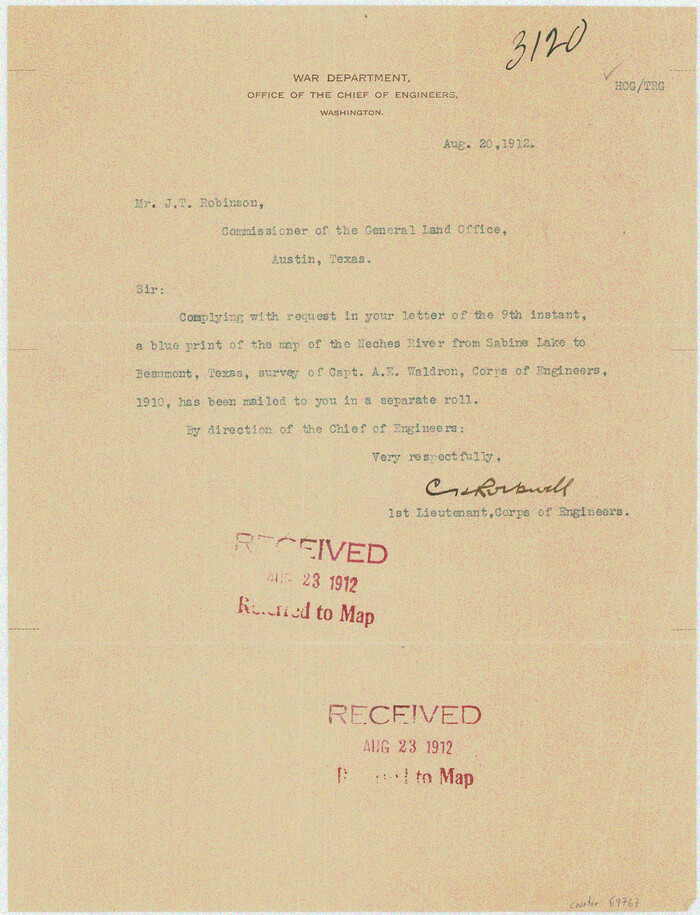
[Surveys along the Polk and Tyler County border]
Atlas G, Page 5, Sketch 2 (G-5-2)
G-5-2
-
Map/Doc
333
-
Collection
General Map Collection
-
Counties
Polk Tyler
-
Subjects
Atlas
-
Height x Width
9.3 x 6.0 inches
23.6 x 15.2 cm
-
Medium
paper, manuscript
-
Comments
Conserved in 2004.
Part of: General Map Collection
McLennan County Sketch File 12
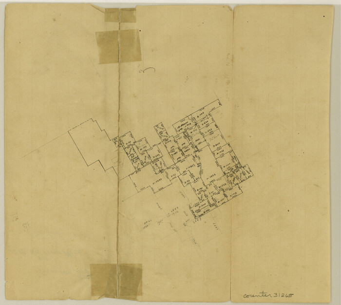

Print $4.00
- Digital $50.00
McLennan County Sketch File 12
Size 8.3 x 9.3 inches
Map/Doc 31265
Dickens County Sketch File B
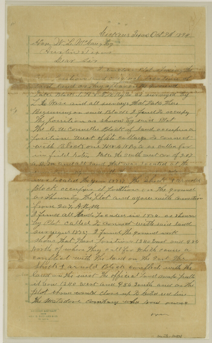

Print $4.00
- Digital $50.00
Dickens County Sketch File B
1894
Size 14.2 x 8.8 inches
Map/Doc 20831
Railroad Track Map, T&PRRCo., Culberson County, Texas
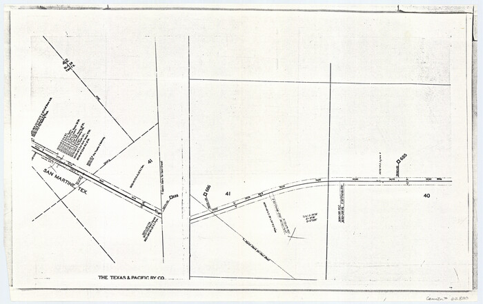

Print $4.00
- Digital $50.00
Railroad Track Map, T&PRRCo., Culberson County, Texas
1910
Size 11.7 x 18.6 inches
Map/Doc 62830
Carson County Sketch File 6c
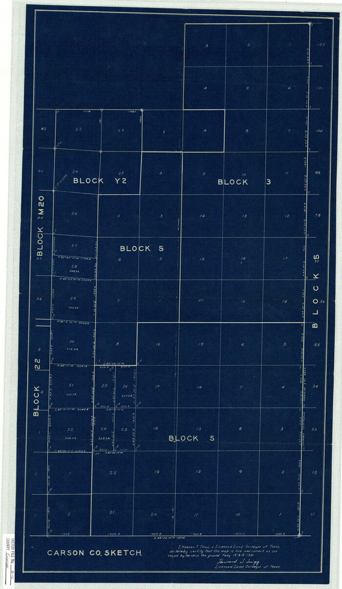

Print $20.00
- Digital $50.00
Carson County Sketch File 6c
Size 26.6 x 15.5 inches
Map/Doc 11055
Map of Menard County
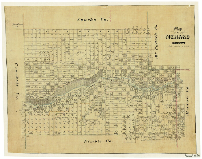

Print $20.00
- Digital $50.00
Map of Menard County
1871
Size 18.5 x 23.3 inches
Map/Doc 3872
Goliad County Sketch File 12


Print $18.00
- Digital $50.00
Goliad County Sketch File 12
1857
Size 12.9 x 7.9 inches
Map/Doc 24230
Throckmorton County Working Sketch 3


Print $20.00
- Digital $50.00
Throckmorton County Working Sketch 3
1924
Size 19.8 x 23.8 inches
Map/Doc 62112
Plan of Calhoun


Print $20.00
- Digital $50.00
Plan of Calhoun
1839
Size 18.6 x 22.7 inches
Map/Doc 176
Dallam County Working Sketch Graphic Index


Print $40.00
- Digital $50.00
Dallam County Working Sketch Graphic Index
1926
Size 41.3 x 50.9 inches
Map/Doc 76516
Jeff Davis County Sketch File 30


Print $26.00
- Digital $50.00
Jeff Davis County Sketch File 30
1922
Size 14.1 x 8.5 inches
Map/Doc 28014
Kenedy County Boundary File 2a


Print $22.00
- Digital $50.00
Kenedy County Boundary File 2a
Size 14.7 x 40.9 inches
Map/Doc 55793
You may also like
Map of Kyle, Lockhart & Southern Ry.


Print $40.00
- Digital $50.00
Map of Kyle, Lockhart & Southern Ry.
1882
Size 14.5 x 94.9 inches
Map/Doc 64285
Bandera County
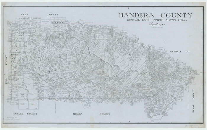

Print $40.00
- Digital $50.00
Bandera County
1904
Size 33.0 x 52.5 inches
Map/Doc 66710
[Southeast part of Stephens County]
![91844, [Southeast part of Stephens County], Twichell Survey Records](https://historictexasmaps.com/wmedia_w700/maps/91844-1.tif.jpg)
![91844, [Southeast part of Stephens County], Twichell Survey Records](https://historictexasmaps.com/wmedia_w700/maps/91844-1.tif.jpg)
Print $20.00
- Digital $50.00
[Southeast part of Stephens County]
Size 37.2 x 32.7 inches
Map/Doc 91844
Edwards County Sketch File 14 1/2


Print $20.00
- Digital $50.00
Edwards County Sketch File 14 1/2
1887
Size 18.3 x 15.3 inches
Map/Doc 11426
Howard County
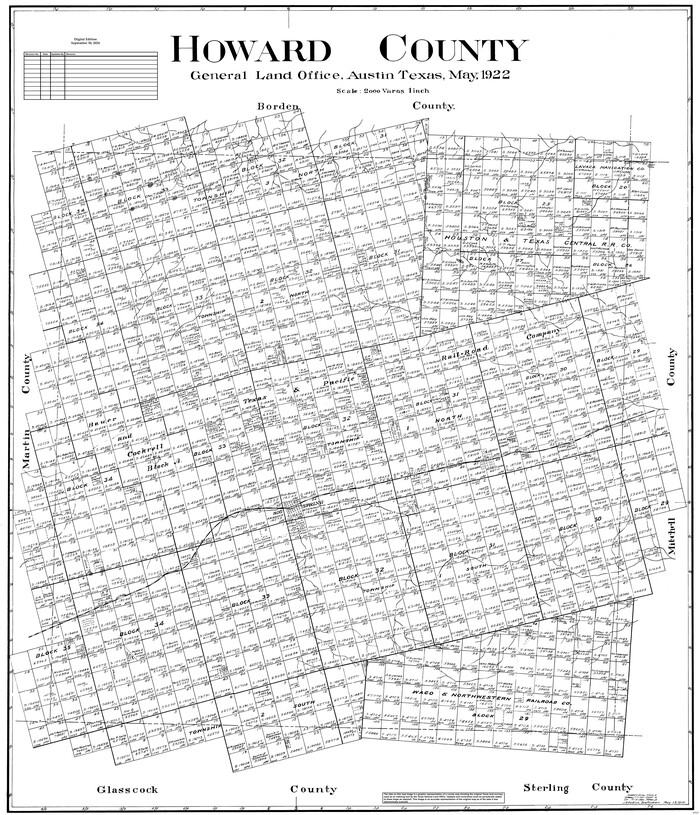

Print $20.00
- Digital $50.00
Howard County
1922
Size 42.3 x 36.2 inches
Map/Doc 95535
Potter County
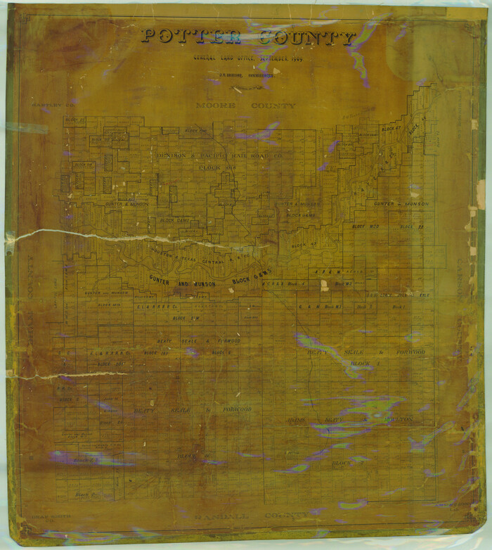

Print $20.00
- Digital $50.00
Potter County
1909
Size 45.3 x 40.6 inches
Map/Doc 16790
Map of surveys 189 & 190, T. C. R.R. Co. in Travis County, Texas
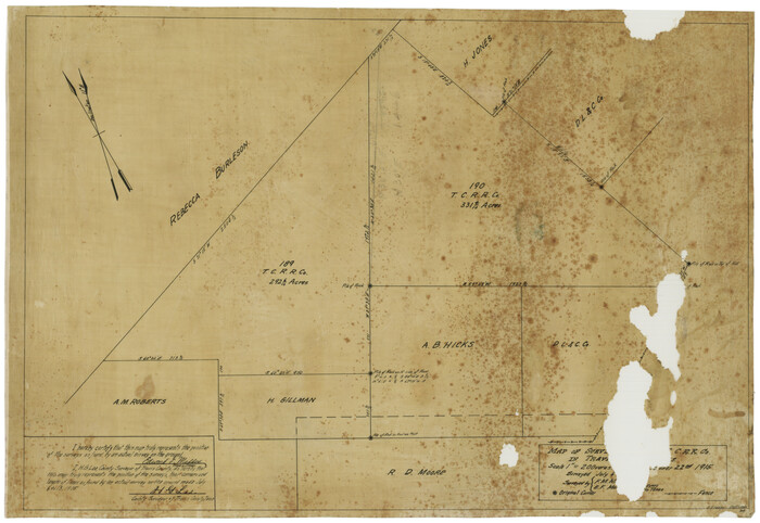

Print $20.00
- Digital $50.00
Map of surveys 189 & 190, T. C. R.R. Co. in Travis County, Texas
1915
Size 16.3 x 23.5 inches
Map/Doc 75762
Flight Mission No. BRE-1P, Frame 6, Nueces County
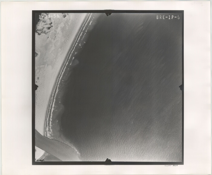

Print $20.00
- Digital $50.00
Flight Mission No. BRE-1P, Frame 6, Nueces County
1956
Size 18.2 x 22.1 inches
Map/Doc 86614
Starr County Working Sketch 15
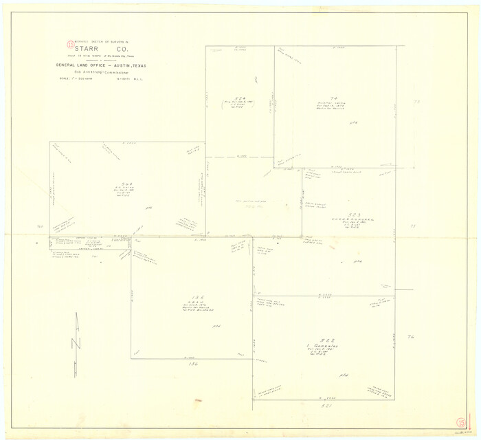

Print $20.00
- Digital $50.00
Starr County Working Sketch 15
1971
Size 34.4 x 37.6 inches
Map/Doc 63931
Austin County Sketch File 16


Print $74.00
- Digital $50.00
Austin County Sketch File 16
Size 14.3 x 8.8 inches
Map/Doc 13888
Map of Tascosa, Oldham County, Texas


Print $40.00
- Digital $50.00
Map of Tascosa, Oldham County, Texas
Size 34.8 x 66.8 inches
Map/Doc 89711
![333, [Surveys along the Polk and Tyler County border], General Map Collection](https://historictexasmaps.com/wmedia_w1800h1800/maps/333.tif.jpg)
