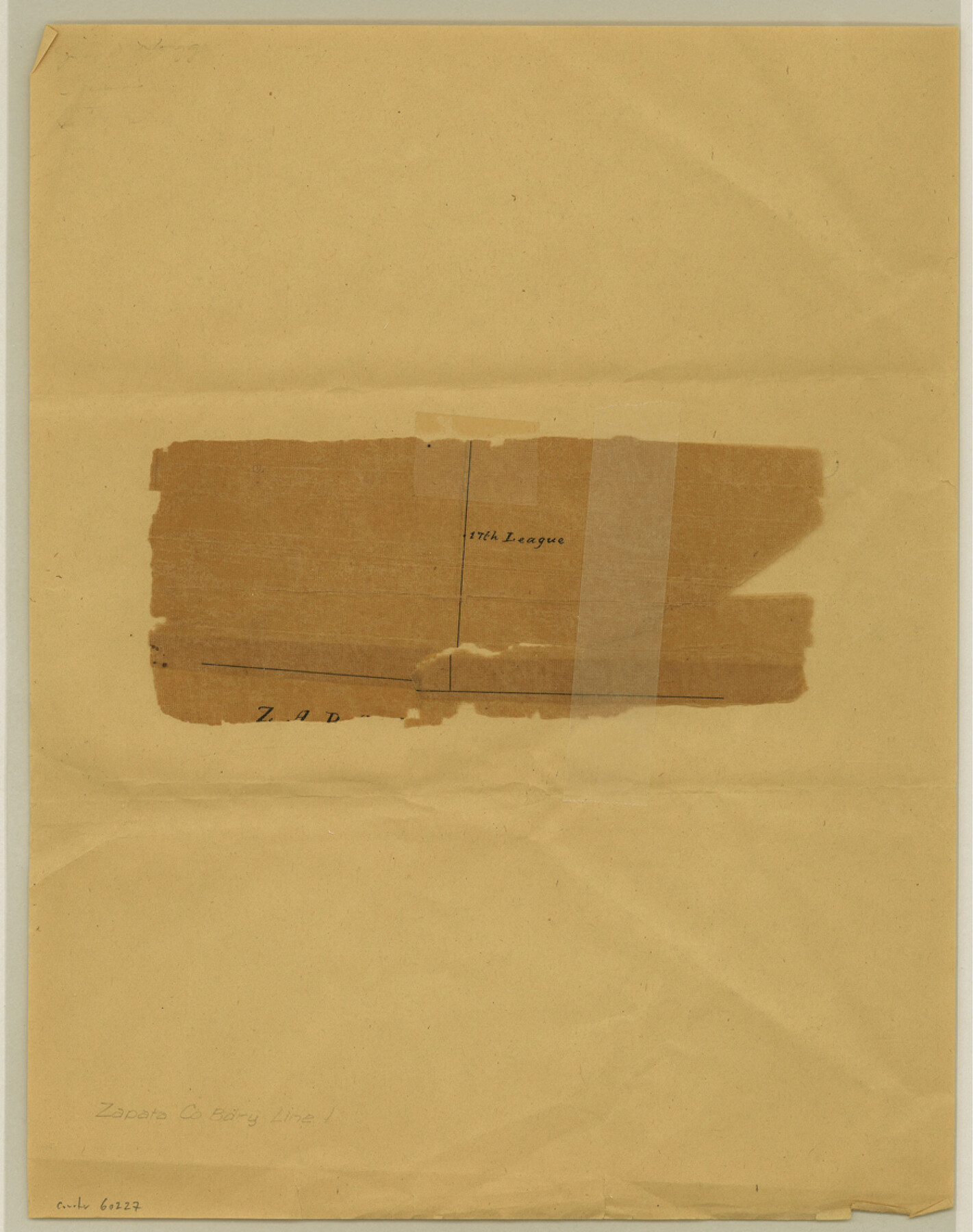
Zapata County Boundary File 1
[Fragment of Plat]
-
Map/Doc
60227
-
Collection
General Map Collection
-
Counties
Zapata
-
Subjects
County Boundaries
-
Height x Width
11.4 x 9.0 inches
29.0 x 22.9 cm
Part of: General Map Collection
Leon County Rolled Sketch 20

Print $20.00
- Digital $50.00
Leon County Rolled Sketch 20
Size 27.0 x 25.8 inches
Map/Doc 6607
Sutton County Sketch File J

Print $4.00
- Digital $50.00
Sutton County Sketch File J
Size 14.5 x 8.8 inches
Map/Doc 37505
University Lands Blocks 1 to 11 Andrews-Martin-Gaines-Dawson-Winkler Counties

Print $6.00
- Digital $50.00
University Lands Blocks 1 to 11 Andrews-Martin-Gaines-Dawson-Winkler Counties
Size 30.9 x 35.3 inches
Map/Doc 62930
Anderson County Working Sketch Graphic Index

Print $40.00
- Digital $50.00
Anderson County Working Sketch Graphic Index
1942
Size 52.0 x 48.3 inches
Map/Doc 76452
Bailey County Sketch File 1

Print $40.00
- Digital $50.00
Bailey County Sketch File 1
1882
Size 15.8 x 15.3 inches
Map/Doc 10880
Harris County Working Sketch 117

Print $20.00
- Digital $50.00
Harris County Working Sketch 117
1984
Size 28.2 x 25.5 inches
Map/Doc 66009
Limestone County Working Sketch 28

Print $20.00
- Digital $50.00
Limestone County Working Sketch 28
2008
Size 30.2 x 29.1 inches
Map/Doc 88848
Flight Mission No. BRE-1P, Frame 93, Nueces County

Print $20.00
- Digital $50.00
Flight Mission No. BRE-1P, Frame 93, Nueces County
1956
Size 18.5 x 22.2 inches
Map/Doc 86664
Tarrant County Rolled Sketch 3

Print $20.00
- Digital $50.00
Tarrant County Rolled Sketch 3
Size 23.3 x 28.6 inches
Map/Doc 7910
Coleman County

Print $40.00
- Digital $50.00
Coleman County
1945
Size 54.7 x 37.1 inches
Map/Doc 73109
Brazoria County Sketch File 15b

Print $40.00
- Digital $50.00
Brazoria County Sketch File 15b
Size 13.2 x 26.3 inches
Map/Doc 10951
Calcasieu Pass to Sabine Pass

Print $20.00
- Digital $50.00
Calcasieu Pass to Sabine Pass
1943
Size 44.5 x 35.1 inches
Map/Doc 69805
You may also like
General Highway Map, Harris County, Texas

Print $20.00
General Highway Map, Harris County, Texas
1939
Size 25.3 x 18.7 inches
Map/Doc 79116
Map of the Texas & Pacific Railway and connections

Print $20.00
- Digital $50.00
Map of the Texas & Pacific Railway and connections
1899
Size 17.8 x 36.3 inches
Map/Doc 95766
[T. & P. Block 44, Township 1S]
![90926, [T. & P. Block 44, Township 1S], Twichell Survey Records](https://historictexasmaps.com/wmedia_w700/maps/90926-1.tif.jpg)
Print $20.00
- Digital $50.00
[T. & P. Block 44, Township 1S]
Size 17.6 x 22.6 inches
Map/Doc 90926
Rains County Working Sketch 3

Print $20.00
- Digital $50.00
Rains County Working Sketch 3
1918
Size 22.3 x 12.5 inches
Map/Doc 71829
Kendall County Working Sketch 16

Print $20.00
- Digital $50.00
Kendall County Working Sketch 16
1967
Size 28.0 x 29.1 inches
Map/Doc 66688
Zavala County Working Sketch 15

Print $20.00
- Digital $50.00
Zavala County Working Sketch 15
1977
Size 27.8 x 23.9 inches
Map/Doc 62090
Right of Way and Track Map International & Gt Northern Ry. operated by the International & Gt. Northern Ry. Co., San Antonio Division

Print $40.00
- Digital $50.00
Right of Way and Track Map International & Gt Northern Ry. operated by the International & Gt. Northern Ry. Co., San Antonio Division
1917
Size 26.2 x 58.6 inches
Map/Doc 64788
Collingsworth County Rolled Sketch 1

Print $40.00
- Digital $50.00
Collingsworth County Rolled Sketch 1
1941
Size 58.0 x 27.0 inches
Map/Doc 8637

[University Lands in West Texas]
![2422, [University Lands in West Texas], General Map Collection](https://historictexasmaps.com/wmedia_w700/maps/2422.tif.jpg)
Print $20.00
- Digital $50.00
[University Lands in West Texas]
1938
Size 20.3 x 28.1 inches
Map/Doc 2422
Floyd County Sketch File A

Print $4.00
- Digital $50.00
Floyd County Sketch File A
1893
Size 9.0 x 11.3 inches
Map/Doc 22684
Stonewall County Working Sketch 33

Print $40.00
- Digital $50.00
Stonewall County Working Sketch 33
1984
Size 70.4 x 42.8 inches
Map/Doc 62340