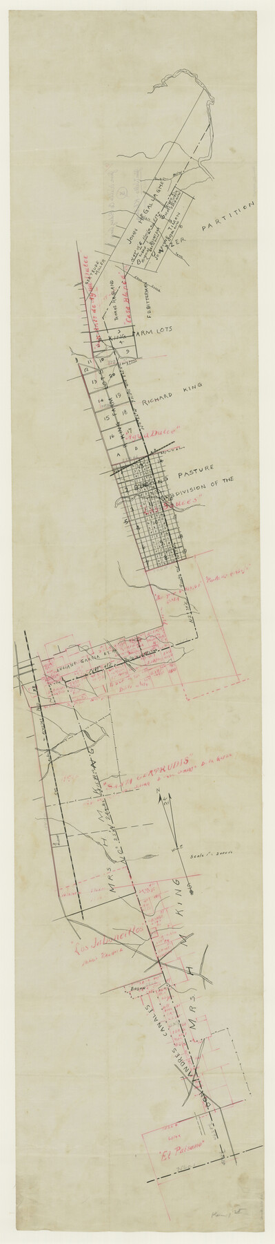
Jim Wells County Boundary File 1a
Jim Wells-Kleberg
-
Map/Doc
55542
-
Collection
General Map Collection
-
Counties
Jim Wells
-
Subjects
County Boundaries
-
Height x Width
60.8 x 13.5 inches
154.4 x 34.3 cm
Part of: General Map Collection
Wichita County Sketch File 5

Print $14.00
- Digital $50.00
Wichita County Sketch File 5
Size 8.2 x 14.5 inches
Map/Doc 40038
Copy of Map from General Land Office

Print $20.00
- Digital $50.00
Copy of Map from General Land Office
1880
Size 16.6 x 17.2 inches
Map/Doc 93361
Hardin County Sketch File 12a

Print $4.00
- Digital $50.00
Hardin County Sketch File 12a
1866
Size 6.6 x 7.4 inches
Map/Doc 25118
Flight Mission No. BQR-9K, Frame 46, Brazoria County

Print $20.00
- Digital $50.00
Flight Mission No. BQR-9K, Frame 46, Brazoria County
1952
Size 18.7 x 22.3 inches
Map/Doc 84050
Wharton County Working Sketch 8

Print $20.00
- Digital $50.00
Wharton County Working Sketch 8
1983
Size 37.2 x 32.3 inches
Map/Doc 72472
Stonewall County Working Sketch Graphic Index - sheet A

Print $20.00
- Digital $50.00
Stonewall County Working Sketch Graphic Index - sheet A
1933
Size 43.3 x 36.2 inches
Map/Doc 76704
Southern Cattle Fever

Print $20.00
- Digital $50.00
Southern Cattle Fever
Size 9.2 x 13.7 inches
Map/Doc 95143
Flight Mission No. BQR-20K, Frame 5, Brazoria County

Print $20.00
- Digital $50.00
Flight Mission No. BQR-20K, Frame 5, Brazoria County
1952
Size 18.6 x 22.3 inches
Map/Doc 84107
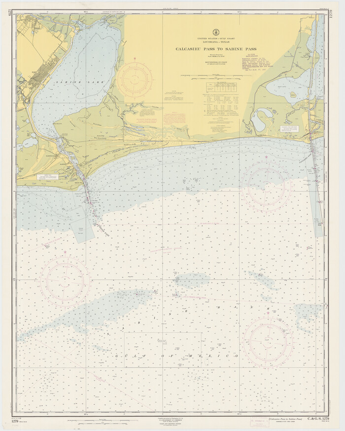
Calcasieu Pass to Sabine Pass
Print $20.00
- Digital $50.00
Calcasieu Pass to Sabine Pass
1961
Size 44.6 x 35.7 inches
Map/Doc 69809
Webb County Rolled Sketch 71

Print $20.00
- Digital $50.00
Webb County Rolled Sketch 71
1967
Size 26.2 x 20.5 inches
Map/Doc 8219
Hardeman County Working Sketch 7

Print $20.00
- Digital $50.00
Hardeman County Working Sketch 7
1952
Size 34.2 x 30.9 inches
Map/Doc 63388

You may also like
Live Oak County Working Sketch 12

Print $20.00
- Digital $50.00
Live Oak County Working Sketch 12
1949
Size 23.1 x 19.7 inches
Map/Doc 70597
English Field Notes of the Spanish Archives - Books R & MC

English Field Notes of the Spanish Archives - Books R & MC
1835
Map/Doc 96552
Morris County Rolled Sketch 2A

Print $20.00
- Digital $50.00
Morris County Rolled Sketch 2A
Size 22.7 x 17.7 inches
Map/Doc 10227
[Aerial photograph from Carancahua Bend of Caney Creek to Cedar Lake]
![78640, [Aerial photograph from Carancahua Bend of Caney Creek to Cedar Lake], General Map Collection](https://historictexasmaps.com/wmedia_w700/maps/78640.tif.jpg)
Print $20.00
- Digital $50.00
[Aerial photograph from Carancahua Bend of Caney Creek to Cedar Lake]
1991
Size 24.4 x 30.3 inches
Map/Doc 78640
Brewster County Rolled Sketch RSH

Print $20.00
- Digital $50.00
Brewster County Rolled Sketch RSH
Size 31.9 x 28.3 inches
Map/Doc 5324
Tarrant County Working Sketch 5

Print $20.00
- Digital $50.00
Tarrant County Working Sketch 5
1980
Size 27.7 x 27.3 inches
Map/Doc 62422
Frio County Working Sketch 29

Print $20.00
- Digital $50.00
Frio County Working Sketch 29
2011
Size 35.9 x 40.6 inches
Map/Doc 89994
Freestone County Boundary File 1

Print $6.00
- Digital $50.00
Freestone County Boundary File 1
Size 14.2 x 8.8 inches
Map/Doc 53585
Terrell County Sketch File 32

Print $6.00
- Digital $50.00
Terrell County Sketch File 32
1940
Size 11.4 x 8.7 inches
Map/Doc 37981
Flight Mission No. DAG-21K, Frame 116, Matagorda County

Print $20.00
- Digital $50.00
Flight Mission No. DAG-21K, Frame 116, Matagorda County
1952
Size 18.6 x 22.3 inches
Map/Doc 86439
Sketch of part of the NW part, Hutchinson County

Print $20.00
- Digital $50.00
Sketch of part of the NW part, Hutchinson County
1909
Size 20.9 x 31.2 inches
Map/Doc 75816
The Judicial District/County of Madison. Abolished, Spring 1842

Print $20.00
The Judicial District/County of Madison. Abolished, Spring 1842
2020
Size 18.2 x 21.7 inches
Map/Doc 96334