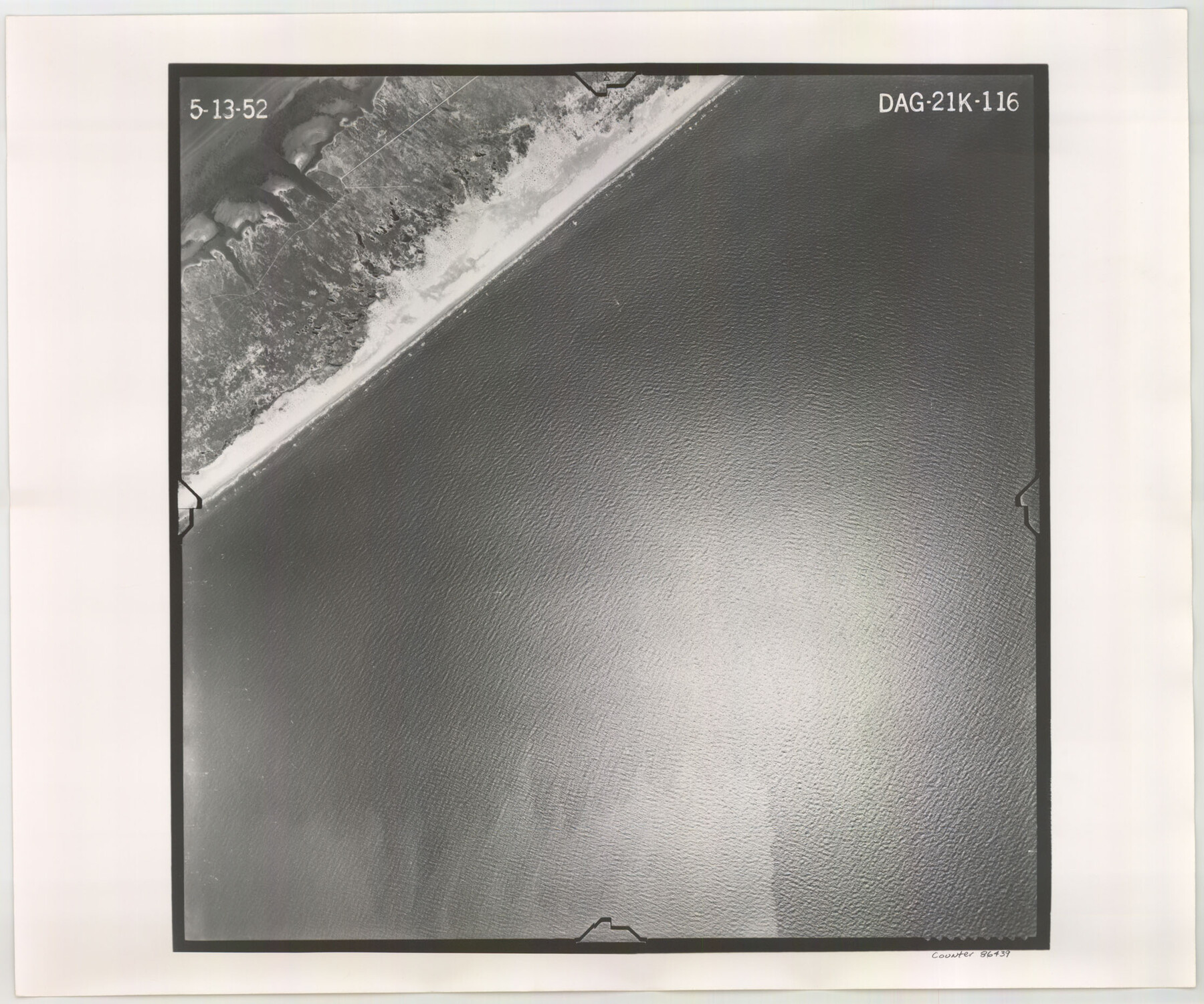
Flight Mission No. DAG-21K, Frame 116, Matagorda County
DAG-21K-116
-
Map/Doc
86439
-
Collection
General Map Collection
-
Object Dates
1952/5/13 (Creation Date)
-
People and Organizations
U. S. Department of Agriculture (Publisher)
-
Counties
Matagorda
-
Subjects
Aerial Photograph
-
Height x Width
18.6 x 22.3 inches
47.2 x 56.6 cm
-
Comments
Flown by Aero Exploration Company of Tulsa, Oklahoma.
Part of: General Map Collection
Tom Green County Sketch File 85

Print $4.00
- Digital $50.00
Tom Green County Sketch File 85
1912
Size 11.4 x 9.0 inches
Map/Doc 38256
Right-of-Way and Track Map, Texas State Railroad operated by the T. and N. O. R.R. Co.

Print $40.00
- Digital $50.00
Right-of-Way and Track Map, Texas State Railroad operated by the T. and N. O. R.R. Co.
1917
Size 24.6 x 55.8 inches
Map/Doc 64175
Flight Mission No. DQN-2K, Frame 80, Calhoun County

Print $20.00
- Digital $50.00
Flight Mission No. DQN-2K, Frame 80, Calhoun County
1953
Size 18.4 x 22.2 inches
Map/Doc 84272

Kendall County Sketch File 27

Print $6.00
- Digital $50.00
Kendall County Sketch File 27
1950
Size 12.4 x 10.9 inches
Map/Doc 28731
Angelina County Working Sketch 40

Print $20.00
- Digital $50.00
Angelina County Working Sketch 40
1960
Size 14.2 x 18.8 inches
Map/Doc 67123
Moore County Working Sketch Graphic Index

Print $20.00
- Digital $50.00
Moore County Working Sketch Graphic Index
1932
Size 41.3 x 39.0 inches
Map/Doc 76648
Galveston County Working Sketch 17

Print $20.00
- Digital $50.00
Galveston County Working Sketch 17
1982
Size 15.5 x 14.3 inches
Map/Doc 69354
Aransas County Working Sketch 18

Print $20.00
- Digital $50.00
Aransas County Working Sketch 18
1961
Size 36.0 x 30.7 inches
Map/Doc 67185
Yoakum County Rolled Sketch 3(2)

Print $40.00
- Digital $50.00
Yoakum County Rolled Sketch 3(2)
1959
Size 12.3 x 120.8 inches
Map/Doc 76040
A2 - Part of the Boundary between the United States and Texas from Sabine River Northward to the 36th mile mound

Print $20.00
- Digital $50.00
A2 - Part of the Boundary between the United States and Texas from Sabine River Northward to the 36th mile mound
Size 28.5 x 22.0 inches
Map/Doc 94003
Gregg County Working Sketch 5

Print $20.00
- Digital $50.00
Gregg County Working Sketch 5
1933
Size 18.0 x 42.6 inches
Map/Doc 63271
You may also like
Map of Calhoun County

Print $20.00
- Digital $50.00
Map of Calhoun County
1863
Size 23.0 x 19.5 inches
Map/Doc 887
Harrison County Sketch File 18

Print $20.00
- Digital $50.00
Harrison County Sketch File 18
1954
Size 23.2 x 26.9 inches
Map/Doc 11691
Upshur County Sketch File 13A

Print $20.00
- Digital $50.00
Upshur County Sketch File 13A
1936
Size 20.5 x 32.4 inches
Map/Doc 12503
Wise County Rolled Sketch 9

Print $20.00
- Digital $50.00
Wise County Rolled Sketch 9
Size 35.2 x 24.2 inches
Map/Doc 93640
Crockett County Working Sketch 41

Print $20.00
- Digital $50.00
Crockett County Working Sketch 41
1928
Size 20.4 x 23.2 inches
Map/Doc 68374
Jasper County Sketch File 6

Print $26.00
- Digital $50.00
Jasper County Sketch File 6
1867
Size 12.8 x 8.2 inches
Map/Doc 27771
Right of Way and Track Map, the Missouri, Kansas and Texas Ry. of Texas - Henrietta Division

Print $20.00
- Digital $50.00
Right of Way and Track Map, the Missouri, Kansas and Texas Ry. of Texas - Henrietta Division
1918
Size 11.9 x 26.8 inches
Map/Doc 64753
Controlled Mosaic by Jack Amman Photogrammetric Engineers, Inc - Sheet 31

Print $20.00
- Digital $50.00
Controlled Mosaic by Jack Amman Photogrammetric Engineers, Inc - Sheet 31
1954
Size 20.0 x 24.0 inches
Map/Doc 83484
Real County Working Sketch 51

Print $20.00
- Digital $50.00
Real County Working Sketch 51
1957
Size 28.1 x 24.1 inches
Map/Doc 71943
Map of Briscoe County, Texas

Print $20.00
- Digital $50.00
Map of Briscoe County, Texas
1879
Size 22.6 x 18.0 inches
Map/Doc 614
[Maps of surveys in Reeves & Culberson Cos]
![61132, [Maps of surveys in Reeves & Culberson Cos], General Map Collection](https://historictexasmaps.com/wmedia_w700/maps/61132.tif.jpg)
Print $20.00
- Digital $50.00
[Maps of surveys in Reeves & Culberson Cos]
1937
Size 30.8 x 24.9 inches
Map/Doc 61132
Polk County Sketch File 6

Print $4.00
- Digital $50.00
Polk County Sketch File 6
Size 7.1 x 9.4 inches
Map/Doc 34129