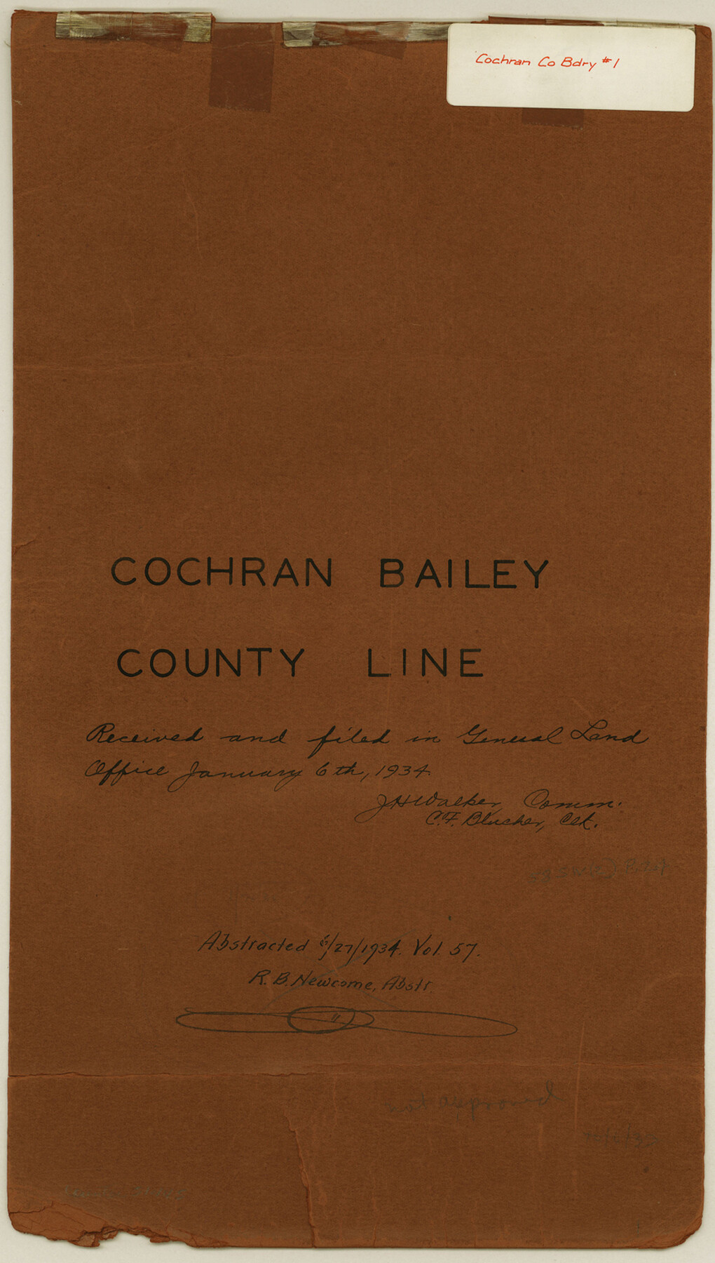
Cochran County Boundary File 1
[Court Orders regarding the Boundary line between Cochran and Bailey Counties; Fieldnotes of permanently establishing the County Boundary between Cochran and Bailey Counties]
-
Map/Doc
51445
-
Collection
General Map Collection
-
Counties
Cochran
-
Subjects
County Boundaries
-
Height x Width
15.4 x 8.7 inches
39.1 x 22.1 cm
Part of: General Map Collection
San Luis Pass to East Matagorda Bay

Print $20.00
- Digital $50.00
San Luis Pass to East Matagorda Bay
1964
Size 34.7 x 46.6 inches
Map/Doc 69964
Nueces County Rolled Sketch 115

Print $215.00
Nueces County Rolled Sketch 115
1992
Size 24.2 x 35.2 inches
Map/Doc 7126

Andrews County Rolled Sketch 44

Print $40.00
- Digital $50.00
Andrews County Rolled Sketch 44
1990
Size 37.0 x 64.8 inches
Map/Doc 94990
Crockett County Working Sketch 23

Print $20.00
- Digital $50.00
Crockett County Working Sketch 23
1919
Size 35.1 x 33.7 inches
Map/Doc 68356
San Augustine County Working Sketch 11a

Print $20.00
- Digital $50.00
San Augustine County Working Sketch 11a
Size 18.8 x 24.4 inches
Map/Doc 63698
Gillespie County Sketch File 4a

Print $40.00
- Digital $50.00
Gillespie County Sketch File 4a
Size 15.8 x 12.8 inches
Map/Doc 24137
Ector County Working Sketch 13

Print $40.00
- Digital $50.00
Ector County Working Sketch 13
1955
Size 71.8 x 43.5 inches
Map/Doc 68856
Cottle County Working Sketch 12

Print $20.00
- Digital $50.00
Cottle County Working Sketch 12
1959
Size 39.1 x 25.7 inches
Map/Doc 68322
Plan of Driving Park Addition composed of Out-lots 37, 38, 39, 49, 50, 60, & 61, Division "O" in the City of Austin

Print $20.00
- Digital $50.00
Plan of Driving Park Addition composed of Out-lots 37, 38, 39, 49, 50, 60, & 61, Division "O" in the City of Austin
1910
Size 18.4 x 15.9 inches
Map/Doc 2024
Stephens County Sketch File 16

Print $40.00
- Digital $50.00
Stephens County Sketch File 16
Size 38.2 x 72.1 inches
Map/Doc 10608
St. Louis, Brownsville & Mexico

Print $40.00
- Digital $50.00
St. Louis, Brownsville & Mexico
1906
Size 21.2 x 130.5 inches
Map/Doc 89280
You may also like
Map of the Cotton Belt Route, St. Louis Southwestern Railway Co., St. Louis Southwestern Railway Co. of Texas, Tyler Southeastern Railway Co. and connections

Print $20.00
- Digital $50.00
Map of the Cotton Belt Route, St. Louis Southwestern Railway Co., St. Louis Southwestern Railway Co. of Texas, Tyler Southeastern Railway Co. and connections
1898
Size 15.3 x 35.7 inches
Map/Doc 93954
Clay County Sketch File 14

Print $40.00
- Digital $50.00
Clay County Sketch File 14
1873
Size 16.5 x 13.8 inches
Map/Doc 18417
Hardin County Working Sketch 2

Print $20.00
- Digital $50.00
Hardin County Working Sketch 2
1903
Size 23.2 x 21.9 inches
Map/Doc 63400
San Patricio County Sketch File 49

Print $84.00
- Digital $50.00
San Patricio County Sketch File 49
1934
Size 9.1 x 11.4 inches
Map/Doc 36329
Marion County Working Sketch 22

Print $20.00
- Digital $50.00
Marion County Working Sketch 22
1960
Size 34.3 x 27.5 inches
Map/Doc 70798
Guadalupe County Working Sketch 12

Print $20.00
- Digital $50.00
Guadalupe County Working Sketch 12
2005
Size 29.1 x 23.5 inches
Map/Doc 83571
The California Case

Print $20.00
- Digital $50.00
The California Case
Size 17.6 x 12.5 inches
Map/Doc 91696
Cooke County Sketch File 15

Print $4.00
- Digital $50.00
Cooke County Sketch File 15
1860
Size 12.5 x 8.1 inches
Map/Doc 19250
Kerr County Sketch File 5

Print $4.00
- Digital $50.00
Kerr County Sketch File 5
1878
Size 14.2 x 8.4 inches
Map/Doc 28865
Lubbock County

Print $20.00
- Digital $50.00
Lubbock County
1968
Size 42.1 x 34.1 inches
Map/Doc 73226
Trinity County Working Sketch 1

Print $20.00
- Digital $50.00
Trinity County Working Sketch 1
1904
Size 17.1 x 12.3 inches
Map/Doc 69449
Terrell County Rolled Sketch 34

Print $20.00
- Digital $50.00
Terrell County Rolled Sketch 34
1937
Size 29.3 x 25.3 inches
Map/Doc 7939