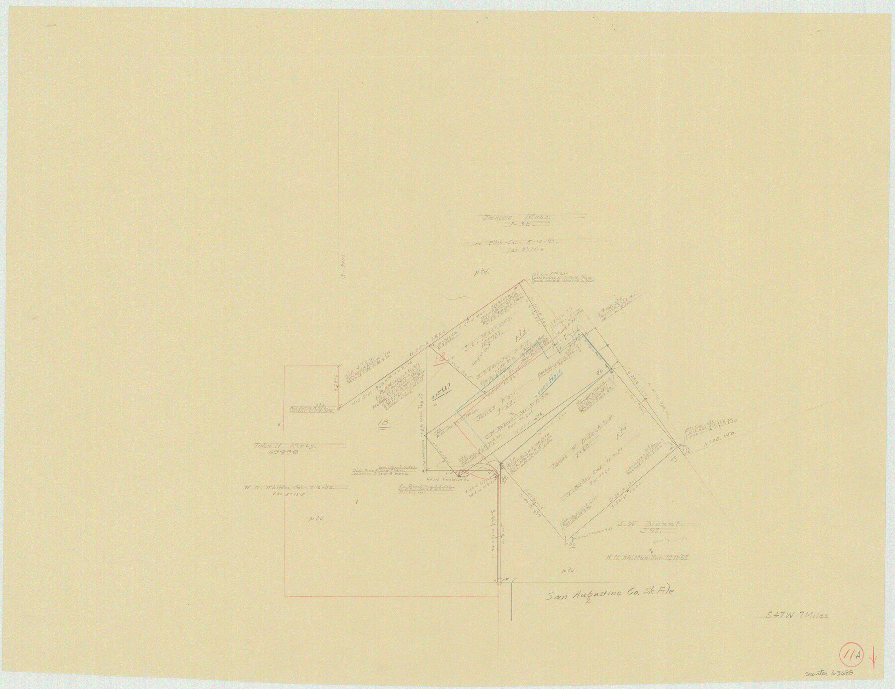
San Augustine County Working Sketch 11a
-
Map/Doc
63698
-
Collection
General Map Collection
-
Counties
San Augustine
-
Subjects
Surveying Working Sketch
-
Height x Width
18.8 x 24.4 inches
47.8 x 62.0 cm
Part of: General Map Collection
Burnet County Sketch File 12

Print $4.00
- Digital $50.00
Burnet County Sketch File 12
1848
Size 12.6 x 7.5 inches
Map/Doc 16694
Real County Working Sketch 47

Print $20.00
- Digital $50.00
Real County Working Sketch 47
1956
Size 15.9 x 12.9 inches
Map/Doc 97488
[Right of Way & Track Map, The Texas & Pacific Ry. Co. Main Line]
![64666, [Right of Way & Track Map, The Texas & Pacific Ry. Co. Main Line], General Map Collection](https://historictexasmaps.com/wmedia_w700/maps/64666.tif.jpg)
Print $20.00
- Digital $50.00
[Right of Way & Track Map, The Texas & Pacific Ry. Co. Main Line]
Size 11.0 x 18.5 inches
Map/Doc 64666
Flight Mission No. DAG-16K, Frame 69, Matagorda County

Print $20.00
- Digital $50.00
Flight Mission No. DAG-16K, Frame 69, Matagorda County
1952
Size 18.4 x 22.2 inches
Map/Doc 86315
Blanco County Working Sketch 22

Print $20.00
- Digital $50.00
Blanco County Working Sketch 22
1962
Size 41.0 x 36.5 inches
Map/Doc 67382
Johnson's New Map of the State of Texas

Print $20.00
- Digital $50.00
Johnson's New Map of the State of Texas
1859
Size 18.6 x 26.8 inches
Map/Doc 89254
Padre Island National Seashore

Print $4.00
- Digital $50.00
Padre Island National Seashore
Size 16.0 x 22.2 inches
Map/Doc 60525
Edwards County Working Sketch 17

Print $20.00
- Digital $50.00
Edwards County Working Sketch 17
1930
Size 32.3 x 26.8 inches
Map/Doc 68893
Mason County Sketch File 21A

Print $20.00
- Digital $50.00
Mason County Sketch File 21A
1932
Size 19.2 x 26.6 inches
Map/Doc 12037
Pecos County Sketch File 118

Print $28.00
- Digital $50.00
Pecos County Sketch File 118
1933
Size 5.0 x 7.5 inches
Map/Doc 34097
The Oil and Gas Journal's Oil Map of Texas

Print $20.00
- Digital $50.00
The Oil and Gas Journal's Oil Map of Texas
1938
Size 38.3 x 39.4 inches
Map/Doc 96970
Sterling County Sketch File 21

Print $6.00
- Digital $50.00
Sterling County Sketch File 21
1954
Size 9.7 x 8.4 inches
Map/Doc 37179
You may also like
Atascosa County Sketch File 19

Print $6.00
- Digital $50.00
Atascosa County Sketch File 19
1854
Size 8.8 x 7.2 inches
Map/Doc 13784

Freestone County Sketch File 14a

Print $6.00
- Digital $50.00
Freestone County Sketch File 14a
1861
Size 5.3 x 5.9 inches
Map/Doc 23067
Map Showing a Resurvey of Part of Blk. I, H. &. G. N. Ry. Co. Pecos County, Texas, following field notes copied from Jacob Kuechler's field book of his original survey made in October and November 1876

Print $20.00
- Digital $50.00
Map Showing a Resurvey of Part of Blk. I, H. &. G. N. Ry. Co. Pecos County, Texas, following field notes copied from Jacob Kuechler's field book of his original survey made in October and November 1876
1930
Size 19.2 x 14.4 inches
Map/Doc 91549
El Paso County Rolled Sketch 64

Print $246.00
- Digital $50.00
El Paso County Rolled Sketch 64
1993
Size 11.3 x 8.7 inches
Map/Doc 41531
Terry County Rolled Sketch 2

Print $20.00
- Digital $50.00
Terry County Rolled Sketch 2
1908
Size 25.5 x 36.8 inches
Map/Doc 7980
Hudspeth County Working Sketch 1

Print $40.00
- Digital $50.00
Hudspeth County Working Sketch 1
1911
Size 26.5 x 53.3 inches
Map/Doc 69023
Combination Map of Henderson, Kaufman, Rains, Van Zandt, Hunt & Rockwall Counties

Print $40.00
- Digital $50.00
Combination Map of Henderson, Kaufman, Rains, Van Zandt, Hunt & Rockwall Counties
Size 42.6 x 64.8 inches
Map/Doc 89810
Sunny San Antonio - The Winter Playground of America

Sunny San Antonio - The Winter Playground of America
1920
Size 9.4 x 7.9 inches
Map/Doc 97040
Burleson County Working Sketch 4

Print $20.00
- Digital $50.00
Burleson County Working Sketch 4
1979
Size 33.3 x 35.6 inches
Map/Doc 67723
Mason County Boundary File 6

Print $28.00
- Digital $50.00
Mason County Boundary File 6
Size 14.3 x 8.9 inches
Map/Doc 56874
Flight Mission No. CRE-1R, Frame 192, Jackson County

Print $20.00
- Digital $50.00
Flight Mission No. CRE-1R, Frame 192, Jackson County
1956
Size 18.5 x 22.3 inches
Map/Doc 85346