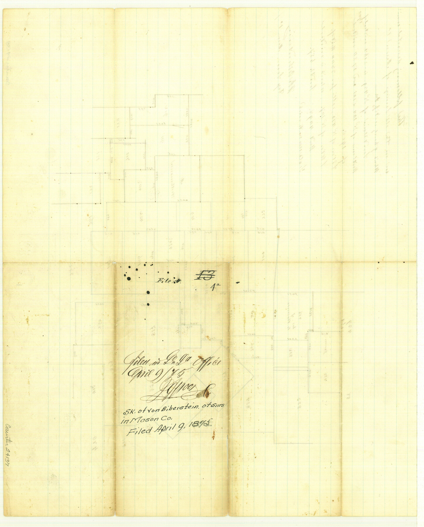
Gillespie County Sketch File 4a
[Sketch of surveys in Mason County]
-
Map/Doc
24137
-
Collection
General Map Collection
-
Object Dates
1875/4/9 (File Date)
-
People and Organizations
H.R. Biberstein (Surveyor/Engineer)
-
Counties
Gillespie Mason
-
Subjects
Surveying Sketch File
-
Height x Width
15.8 x 12.8 inches
40.1 x 32.5 cm
-
Medium
paper, manuscript
Part of: General Map Collection
Stephens County Rolled Sketch 3

Print $20.00
- Digital $50.00
Stephens County Rolled Sketch 3
1919
Size 34.9 x 19.6 inches
Map/Doc 7840
Yoakum County Sketch File 18

Print $24.00
- Digital $50.00
Yoakum County Sketch File 18
1898
Size 11.5 x 9.0 inches
Map/Doc 40820
Navigation Maps of Gulf Intracoastal Waterway, Port Arthur to Brownsville, Texas

Print $4.00
- Digital $50.00
Navigation Maps of Gulf Intracoastal Waterway, Port Arthur to Brownsville, Texas
1951
Size 16.5 x 21.1 inches
Map/Doc 65435
Menard County Sketch File 8

Print $20.00
- Digital $50.00
Menard County Sketch File 8
Size 19.7 x 28.5 inches
Map/Doc 12073
Flight Mission No. BQR-3K, Frame 85, Brazoria County

Print $20.00
- Digital $50.00
Flight Mission No. BQR-3K, Frame 85, Brazoria County
1952
Size 18.9 x 22.4 inches
Map/Doc 83977
Runnels County Sketch File 8

Print $40.00
Runnels County Sketch File 8
Size 37.9 x 37.5 inches
Map/Doc 10591
Gillespie County Sketch File 11

Print $4.00
- Digital $50.00
Gillespie County Sketch File 11
1877
Size 8.3 x 12.8 inches
Map/Doc 24149
Flight Mission No. DIX-10P, Frame 65, Aransas County

Print $20.00
- Digital $50.00
Flight Mission No. DIX-10P, Frame 65, Aransas County
1956
Size 18.6 x 22.3 inches
Map/Doc 83926
Pecos County Rolled Sketch DK2

Print $20.00
- Digital $50.00
Pecos County Rolled Sketch DK2
1938
Size 31.8 x 40.0 inches
Map/Doc 9714
Flight Mission No. CGI-2N, Frame 182, Cameron County

Print $20.00
- Digital $50.00
Flight Mission No. CGI-2N, Frame 182, Cameron County
1954
Size 18.5 x 22.2 inches
Map/Doc 84542
Coryell County Working Sketch 20

Print $20.00
- Digital $50.00
Coryell County Working Sketch 20
1972
Size 32.2 x 22.4 inches
Map/Doc 68227
Jeff Davis County Rolled Sketch 15

Print $20.00
- Digital $50.00
Jeff Davis County Rolled Sketch 15
1897
Size 20.4 x 17.2 inches
Map/Doc 6368
You may also like
Ellis Addition to the City of Lubbock, Being a Subdivision of a Part of the SW/4 of SW/4 Sec. 4, Blk. A

Print $3.00
- Digital $50.00
Ellis Addition to the City of Lubbock, Being a Subdivision of a Part of the SW/4 of SW/4 Sec. 4, Blk. A
1952
Size 9.4 x 11.9 inches
Map/Doc 92709
Northern Part of Laguna Madre

Print $20.00
- Digital $50.00
Northern Part of Laguna Madre
1959
Size 44.5 x 35.1 inches
Map/Doc 73525
Edwards County Sketch File 55

Print $4.00
- Digital $50.00
Edwards County Sketch File 55
1982
Size 9.1 x 14.5 inches
Map/Doc 21806
[Surveys South of the Levi Jordan Title, Southwest of the Neches River]
![90424, [Surveys South of the Levi Jordan Title, Southwest of the Neches River], Twichell Survey Records](https://historictexasmaps.com/wmedia_w700/maps/90424-1.tif.jpg)
Print $20.00
- Digital $50.00
[Surveys South of the Levi Jordan Title, Southwest of the Neches River]
Size 33.4 x 43.3 inches
Map/Doc 90424
Childress County Boundary File 2

Print $66.00
- Digital $50.00
Childress County Boundary File 2
Size 7.3 x 3.9 inches
Map/Doc 51306
Maps of Gulf Intracoastal Waterway, Texas - Sabine River to the Rio Grande and connecting waterways including ship channels

Print $20.00
- Digital $50.00
Maps of Gulf Intracoastal Waterway, Texas - Sabine River to the Rio Grande and connecting waterways including ship channels
1966
Size 14.5 x 20.8 inches
Map/Doc 61968
Pecos County Rolled Sketch 183

Print $20.00
- Digital $50.00
Pecos County Rolled Sketch 183
1982
Size 39.6 x 27.5 inches
Map/Doc 7302
Gaines County Working Sketch 19

Print $20.00
- Digital $50.00
Gaines County Working Sketch 19
1970
Size 46.0 x 37.5 inches
Map/Doc 69319
Upton County Rolled Sketch 39

Print $40.00
- Digital $50.00
Upton County Rolled Sketch 39
Size 53.4 x 44.1 inches
Map/Doc 10055
Hopkins County Sketch File 3

Print $4.00
- Digital $50.00
Hopkins County Sketch File 3
Size 10.0 x 8.1 inches
Map/Doc 26685
Tanglewood, Station Map-Tracks & Structures-Lands, San Antonio & Aransas Pass Railway Co., Station 4804+179 to Station 4856+179

Print $4.00
- Digital $50.00
Tanglewood, Station Map-Tracks & Structures-Lands, San Antonio & Aransas Pass Railway Co., Station 4804+179 to Station 4856+179
1919
Size 11.7 x 18.6 inches
Map/Doc 62569
