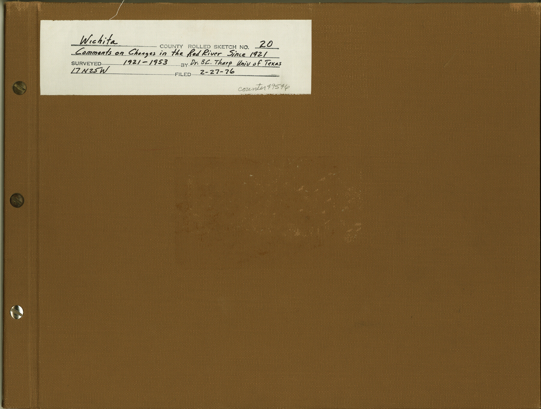
Wichita County Rolled Sketch 20
After thirty years: comments on changes in the Red River since 1921
-
Map/Doc
49546
-
Collection
General Map Collection
-
Object Dates
1953 (Survey Date)
1976/2/27 (File Date)
-
People and Organizations
B.C. Tharp (Author)
-
Counties
Wichita
-
Subjects
Surveying Rolled Sketch
-
Height x Width
11.0 x 14.5 inches
27.9 x 36.8 cm
-
Medium
multi-page, multi-format
Part of: General Map Collection
Flight Mission No. CGI-3N, Frame 101, Cameron County

Print $20.00
- Digital $50.00
Flight Mission No. CGI-3N, Frame 101, Cameron County
1954
Size 18.6 x 22.1 inches
Map/Doc 84581
Flight Mission No. DIX-6P, Frame 109, Aransas County

Print $20.00
- Digital $50.00
Flight Mission No. DIX-6P, Frame 109, Aransas County
1956
Size 18.8 x 22.5 inches
Map/Doc 83815
Jefferson County Aerial Photograph Index Sheet 7

Print $20.00
- Digital $50.00
Jefferson County Aerial Photograph Index Sheet 7
1953
Size 23.3 x 16.9 inches
Map/Doc 83711
Northeast Part Presidio County

Print $20.00
- Digital $50.00
Northeast Part Presidio County
1973
Size 39.6 x 31.3 inches
Map/Doc 77398
Val Verde County Working Sketch 84

Print $20.00
- Digital $50.00
Val Verde County Working Sketch 84
1973
Size 45.4 x 33.0 inches
Map/Doc 72219
Bandera County Working Sketch 60

Print $20.00
- Digital $50.00
Bandera County Working Sketch 60
2004
Size 32.1 x 43.6 inches
Map/Doc 83562
Webb County Working Sketch 42

Print $20.00
- Digital $50.00
Webb County Working Sketch 42
1941
Size 12.2 x 16.1 inches
Map/Doc 72407
Pecos County Sketch File 1

Print $20.00
- Digital $50.00
Pecos County Sketch File 1
Size 8.9 x 4.0 inches
Map/Doc 33642
Hood County Sketch File 19

Print $11.00
- Digital $50.00
Hood County Sketch File 19
Size 9.0 x 7.9 inches
Map/Doc 26603
San Patricio County Sketch File 34

Print $4.00
- Digital $50.00
San Patricio County Sketch File 34
1961
Size 11.4 x 8.8 inches
Map/Doc 36119
Copy of Surveyor's Field Book, Morris Browning - In Blocks 7, 5 & 4, I&GNRRCo., Hutchinson and Carson Counties, Texas

Print $2.00
- Digital $50.00
Copy of Surveyor's Field Book, Morris Browning - In Blocks 7, 5 & 4, I&GNRRCo., Hutchinson and Carson Counties, Texas
1888
Size 7.0 x 8.8 inches
Map/Doc 62278
Sutton County Working Sketch Graphic Index, Sheet 1 (Sketches 1 to 24)

Print $40.00
- Digital $50.00
Sutton County Working Sketch Graphic Index, Sheet 1 (Sketches 1 to 24)
1941
Size 41.9 x 55.3 inches
Map/Doc 76705
You may also like
[Sketch for Mineral Application 36486 and 38244 - Liberty County]
![65621, [Sketch for Mineral Application 36486 and 38244 - Liberty County], General Map Collection](https://historictexasmaps.com/wmedia_w700/maps/65621.tif.jpg)
Print $20.00
- Digital $50.00
[Sketch for Mineral Application 36486 and 38244 - Liberty County]
1976
Size 24.0 x 43.9 inches
Map/Doc 65621
Webb County Rolled Sketch 24

Print $20.00
- Digital $50.00
Webb County Rolled Sketch 24
1930
Size 33.0 x 23.0 inches
Map/Doc 8184
Harris County Historic Topographic 20

Print $20.00
- Digital $50.00
Harris County Historic Topographic 20
1915
Size 29.3 x 22.6 inches
Map/Doc 65831
McLennan County Sketch File 18

Print $8.00
- Digital $50.00
McLennan County Sketch File 18
1880
Size 12.8 x 8.3 inches
Map/Doc 31280
Galveston County NRC Article 33.136 Sketch 45

Print $21.00
- Digital $50.00
Galveston County NRC Article 33.136 Sketch 45
2007
Size 18.7 x 23.4 inches
Map/Doc 87365
Freestone County Working Sketch 12

Print $40.00
- Digital $50.00
Freestone County Working Sketch 12
1980
Size 54.5 x 38.6 inches
Map/Doc 69254
[Map of Parker County]
![3948, [Map of Parker County], General Map Collection](https://historictexasmaps.com/wmedia_w700/maps/3948.tif.jpg)
Print $20.00
- Digital $50.00
[Map of Parker County]
1889
Size 25.9 x 32.9 inches
Map/Doc 3948
Marion County Rolled Sketch 8

Print $20.00
- Digital $50.00
Marion County Rolled Sketch 8
1998
Size 33.0 x 22.1 inches
Map/Doc 6661
Jackson County Working Sketch 13

Print $20.00
- Digital $50.00
Jackson County Working Sketch 13
1994
Size 22.2 x 30.3 inches
Map/Doc 66461
Presidio County Boundary File 3a

Print $40.00
- Digital $50.00
Presidio County Boundary File 3a
Size 17.7 x 38.0 inches
Map/Doc 58074
Coryell County Sketch File 6

Print $4.00
- Digital $50.00
Coryell County Sketch File 6
1858
Size 8.2 x 9.8 inches
Map/Doc 19347
Lubbock County

Print $20.00
- Digital $50.00
Lubbock County
1968
Size 44.2 x 35.8 inches
Map/Doc 95576