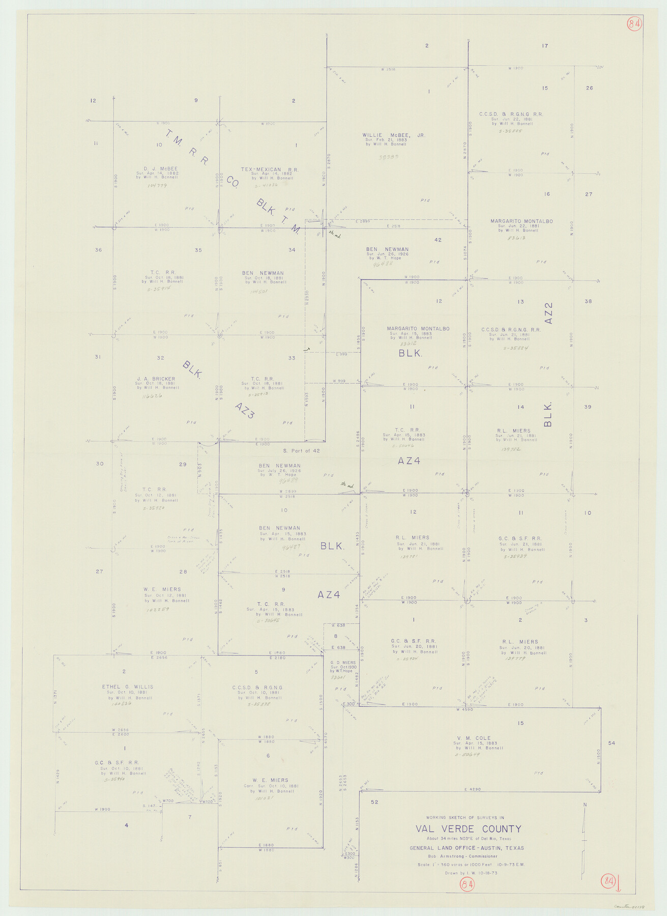
Val Verde County Working Sketch 84
-
Map/Doc
72219
-
Collection
General Map Collection
-
Object Dates
10/9/1973 (Creation Date)
-
People and Organizations
Elbert Menzel (Draftsman)
-
Counties
Val Verde
-
Subjects
Surveying Working Sketch
-
Height x Width
45.4 x 33.0 inches
115.3 x 83.8 cm
-
Scale
1" = 360 varas
Part of: General Map Collection
Flight Mission No. DCL-7C, Frame 78, Kenedy County

Print $20.00
- Digital $50.00
Flight Mission No. DCL-7C, Frame 78, Kenedy County
1943
Size 15.3 x 15.2 inches
Map/Doc 86064
Liberty County Sketch File 58

Print $2.00
- Digital $50.00
Liberty County Sketch File 58
Size 8.9 x 7.7 inches
Map/Doc 30060
[Sketch for Mineral Application 36425 - Jefferson County, Ley C. Moore]
![65616, [Sketch for Mineral Application 36425 - Jefferson County, Ley C. Moore], General Map Collection](https://historictexasmaps.com/wmedia_w700/maps/65616.tif.jpg)
Print $40.00
- Digital $50.00
[Sketch for Mineral Application 36425 - Jefferson County, Ley C. Moore]
1942
Size 49.2 x 35.0 inches
Map/Doc 65616

Collingsworth County Sketch File 5

Print $20.00
- Digital $50.00
Collingsworth County Sketch File 5
1891
Size 32.0 x 24.3 inches
Map/Doc 11132
Controlled Mosaic by Jack Amman Photogrammetric Engineers, Inc - Sheet 29

Print $20.00
- Digital $50.00
Controlled Mosaic by Jack Amman Photogrammetric Engineers, Inc - Sheet 29
1954
Size 20.0 x 24.0 inches
Map/Doc 83482
Cooke County Boundary File 1b

Print $28.00
- Digital $50.00
Cooke County Boundary File 1b
Size 12.6 x 7.4 inches
Map/Doc 51835
Nueces County Sketch File 59

Print $23.00
- Digital $50.00
Nueces County Sketch File 59
1989
Size 11.2 x 8.6 inches
Map/Doc 32951
Carson County Sketch File 6

Print $32.00
- Digital $50.00
Carson County Sketch File 6
1928
Size 9.1 x 9.6 inches
Map/Doc 17358
Trinity County Sketch File 32

Print $20.00
- Digital $50.00
Trinity County Sketch File 32
1894
Size 22.4 x 18.3 inches
Map/Doc 12490
Potter County Boundary File 2a

Print $82.00
- Digital $50.00
Potter County Boundary File 2a
Size 94.2 x 8.7 inches
Map/Doc 57967
Lynn County Rolled Sketch W

Print $20.00
- Digital $50.00
Lynn County Rolled Sketch W
Size 23.0 x 40.0 inches
Map/Doc 6655
You may also like
General Highway Map, Galveston County, Texas

Print $20.00
General Highway Map, Galveston County, Texas
1939
Size 18.5 x 25.0 inches
Map/Doc 79096
Armstrong County Boundary File 4

Print $2.00
- Digital $50.00
Armstrong County Boundary File 4
Size 10.2 x 8.8 inches
Map/Doc 50148
Map of the Interior of Louisiana with a part of New Mexico

Print $20.00
- Digital $50.00
Map of the Interior of Louisiana with a part of New Mexico
1813
Size 11.9 x 15.7 inches
Map/Doc 94460
San Augustine County Sketch File 3

Print $10.00
San Augustine County Sketch File 3
1858
Size 11.8 x 8.1 inches
Map/Doc 35635
Galveston County NRC Article 33.136 Sketch 10

Print $48.00
- Digital $50.00
Galveston County NRC Article 33.136 Sketch 10
2000
Size 29.8 x 41.9 inches
Map/Doc 61592
General Highway Map, El Paso County, Texas

Print $20.00
General Highway Map, El Paso County, Texas
1961
Size 18.2 x 24.8 inches
Map/Doc 79458
[Surveys in Milam's Colony along the Colorado River, Onion Creek, Cedar Creek, and north of the San Antonio Road]
![88, [Surveys in Milam's Colony along the Colorado River, Onion Creek, Cedar Creek, and north of the San Antonio Road], General Map Collection](https://historictexasmaps.com/wmedia_w700/maps/88-1.tif.jpg)
Print $20.00
- Digital $50.00
[Surveys in Milam's Colony along the Colorado River, Onion Creek, Cedar Creek, and north of the San Antonio Road]
Size 13.4 x 26.8 inches
Map/Doc 88
Dimmit County Sketch File 13

Print $46.00
- Digital $50.00
Dimmit County Sketch File 13
1884
Size 22.6 x 36.5 inches
Map/Doc 11341

Aransas County Rolled Sketch 15B

Print $20.00
- Digital $50.00
Aransas County Rolled Sketch 15B
Size 19.0 x 19.8 inches
Map/Doc 76066
Boyd-Gordon Addition to Idalou, a Subdivision of a Part Tracts 27, 28, 29 and 30 of the Ross Addition to Idalou

Print $3.00
- Digital $50.00
Boyd-Gordon Addition to Idalou, a Subdivision of a Part Tracts 27, 28, 29 and 30 of the Ross Addition to Idalou
1953
Size 11.8 x 17.8 inches
Map/Doc 92873
Brazoria County Working Sketch 29

Print $20.00
- Digital $50.00
Brazoria County Working Sketch 29
1971
Size 30.6 x 28.3 inches
Map/Doc 67514