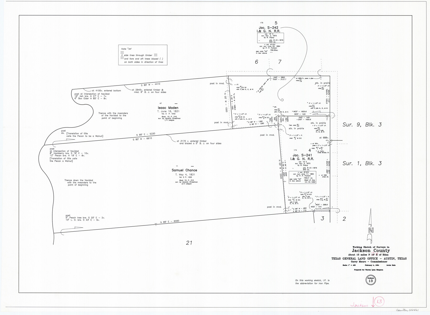
Jackson County Working Sketch 13
-
Map/Doc
66461
-
Collection
General Map Collection
-
Object Dates
2/4/1994 (Creation Date)
-
People and Organizations
Javier Ruiz (Draftsman)
-
Counties
Jackson
-
Subjects
Surveying Working Sketch
-
Height x Width
22.2 x 30.3 inches
56.4 x 77.0 cm
-
Scale
1" = 400 varas
Part of: General Map Collection

Val Verde County Sketch File F

Print $42.00
- Digital $50.00
Val Verde County Sketch File F
1906
Size 40.1 x 16.9 inches
Map/Doc 10423
Flight Mission No. BRE-1P, Frame 31, Nueces County

Print $20.00
- Digital $50.00
Flight Mission No. BRE-1P, Frame 31, Nueces County
1956
Size 18.0 x 21.6 inches
Map/Doc 86627
Revolutionary Map of Texas, 1836

Print $27.06
Revolutionary Map of Texas, 1836
1986
Size 32.7 x 26.7 inches
Map/Doc 89022
Madison County Working Sketch 13

Print $20.00
- Digital $50.00
Madison County Working Sketch 13
1995
Size 15.5 x 22.9 inches
Map/Doc 70775
Victoria County Working Sketch 3

Print $20.00
- Digital $50.00
Victoria County Working Sketch 3
1939
Size 14.0 x 18.3 inches
Map/Doc 72273
Panola County Sketch File 24

Print $8.00
- Digital $50.00
Panola County Sketch File 24
1939
Size 11.1 x 8.7 inches
Map/Doc 33494
Armstrong County Sketch File A-15

Print $40.00
- Digital $50.00
Armstrong County Sketch File A-15
Size 17.8 x 14.0 inches
Map/Doc 13716
A Map of Gonzales County

Print $20.00
- Digital $50.00
A Map of Gonzales County
1838
Size 34.7 x 39.2 inches
Map/Doc 16838
Atascosa County Working Sketch 3

Print $20.00
- Digital $50.00
Atascosa County Working Sketch 3
1912
Size 26.3 x 13.2 inches
Map/Doc 67198
Kent County Working Sketch 17

Print $20.00
- Digital $50.00
Kent County Working Sketch 17
1973
Size 34.8 x 36.4 inches
Map/Doc 70024
Jones County Sketch File 8

Print $20.00
- Digital $50.00
Jones County Sketch File 8
Size 18.5 x 22.8 inches
Map/Doc 11898
You may also like
Chambers County Rolled Sketch CL

Print $40.00
- Digital $50.00
Chambers County Rolled Sketch CL
1909
Size 56.2 x 21.0 inches
Map/Doc 8610
Marion County Rolled Sketch 3

Print $20.00
- Digital $50.00
Marion County Rolled Sketch 3
1955
Size 35.4 x 35.5 inches
Map/Doc 9490
Plan of the City of Austin

Print $20.00
Plan of the City of Austin
1853
Size 13.9 x 11.5 inches
Map/Doc 76207
Real County Working Sketch 65

Print $20.00
- Digital $50.00
Real County Working Sketch 65
1969
Size 31.1 x 23.4 inches
Map/Doc 71957
Upton County Working Sketch 24

Print $20.00
- Digital $50.00
Upton County Working Sketch 24
1953
Size 36.7 x 39.2 inches
Map/Doc 69520
Lampasas County Sketch File 12

Print $8.00
- Digital $50.00
Lampasas County Sketch File 12
1874
Size 6.0 x 7.9 inches
Map/Doc 29422
Johnson County Working Sketch 17

Print $40.00
- Digital $50.00
Johnson County Working Sketch 17
1985
Size 48.3 x 44.4 inches
Map/Doc 66630
Nueces County Rolled Sketch 67

Print $20.00
- Digital $50.00
Nueces County Rolled Sketch 67
1979
Size 25.4 x 36.9 inches
Map/Doc 6918
Flight Mission No. CRC-3R, Frame 14, Chambers County

Print $20.00
- Digital $50.00
Flight Mission No. CRC-3R, Frame 14, Chambers County
1956
Size 18.6 x 22.3 inches
Map/Doc 84788

Gonzales County Sketch File 2

Print $10.00
- Digital $50.00
Gonzales County Sketch File 2
Size 8.9 x 7.8 inches
Map/Doc 24357
Prison Property, Walker County

Print $20.00
- Digital $50.00
Prison Property, Walker County
Size 32.6 x 22.7 inches
Map/Doc 94279