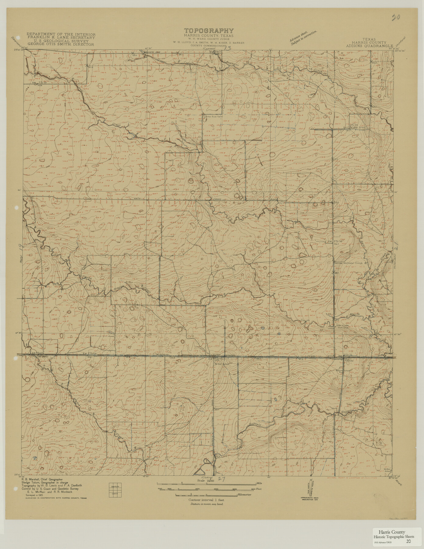
Harris County Historic Topographic 20
Addicks Quadrangle
-
Map/Doc
65831
-
Collection
General Map Collection
-
Object Dates
1915 (Creation Date)
-
People and Organizations
U. S. Geological Survey (Publisher)
-
Counties
Harris
-
Subjects
Topographic
-
Height x Width
29.3 x 22.6 inches
74.4 x 57.4 cm
Part of: General Map Collection
Flight Mission No. DAG-21K, Frame 98, Matagorda County

Print $20.00
- Digital $50.00
Flight Mission No. DAG-21K, Frame 98, Matagorda County
1952
Size 18.5 x 22.3 inches
Map/Doc 86427
Roberts County Rolled Sketch 7

Print $20.00
- Digital $50.00
Roberts County Rolled Sketch 7
2018
Size 20.1 x 24.1 inches
Map/Doc 97418
Parker County Sketch File 13

Print $4.00
- Digital $50.00
Parker County Sketch File 13
1860
Size 12.1 x 8.0 inches
Map/Doc 33546
Boundary Between the United States & Mexico Agreed upon by the Joint Commission under the Treaty of Guadalupe Hidalgo

Print $20.00
- Digital $50.00
Boundary Between the United States & Mexico Agreed upon by the Joint Commission under the Treaty of Guadalupe Hidalgo
1853
Size 18.2 x 26.4 inches
Map/Doc 72883
Harris County Working Sketch 39

Print $20.00
- Digital $50.00
Harris County Working Sketch 39
1940
Size 21.6 x 20.1 inches
Map/Doc 65931
Taylor County Working Sketch 10

Print $20.00
- Digital $50.00
Taylor County Working Sketch 10
1955
Size 21.6 x 25.5 inches
Map/Doc 69620
Reeves County

Print $20.00
- Digital $50.00
Reeves County
1903
Size 47.3 x 35.6 inches
Map/Doc 66997
Galveston Harbor, Texas, South Jetty sketch showing extension of shoreline - Sheet 5

Print $2.00
- Digital $50.00
Galveston Harbor, Texas, South Jetty sketch showing extension of shoreline - Sheet 5
1936
Size 8.8 x 13.3 inches
Map/Doc 61819
Dickens County Sketch File 36

Print $4.00
- Digital $50.00
Dickens County Sketch File 36
1891
Size 11.3 x 9.1 inches
Map/Doc 21042
Brewster County Working Sketch 2

Print $20.00
- Digital $50.00
Brewster County Working Sketch 2
1907
Size 29.0 x 26.4 inches
Map/Doc 67535
Liberty County Sketch File 55

Print $22.00
- Digital $50.00
Liberty County Sketch File 55
Size 14.3 x 8.8 inches
Map/Doc 30049
Dallas County Sketch File 5

Print $18.00
- Digital $50.00
Dallas County Sketch File 5
1858
Size 10.5 x 8.4 inches
Map/Doc 20400
You may also like
Pecos County Sketch File 70

Print $20.00
- Digital $50.00
Pecos County Sketch File 70
1939
Size 21.3 x 20.7 inches
Map/Doc 12181
Map No. 8-A, Calhoun Co. - Revision of the East portion of Espiritu Santo Bay Tracts

Print $5.00
- Digital $50.00
Map No. 8-A, Calhoun Co. - Revision of the East portion of Espiritu Santo Bay Tracts
1978
Size 21.2 x 28.0 inches
Map/Doc 2498
Freestone County Rolled Sketch 13B

Print $20.00
- Digital $50.00
Freestone County Rolled Sketch 13B
1989
Size 25.2 x 20.5 inches
Map/Doc 5915
Hutchinson County Sketch File 53

Print $2.00
- Digital $50.00
Hutchinson County Sketch File 53
2000
Size 11.2 x 8.8 inches
Map/Doc 27455
Concho County Working Sketch 23

Print $20.00
- Digital $50.00
Concho County Working Sketch 23
1975
Size 21.9 x 27.1 inches
Map/Doc 68205
Real County Sketch File 5

Print $20.00
- Digital $50.00
Real County Sketch File 5
Size 16.9 x 20.9 inches
Map/Doc 12228

Carson County Boundary File 5b

Print $10.00
- Digital $50.00
Carson County Boundary File 5b
Size 11.7 x 8.6 inches
Map/Doc 51141
General Highway Map, Shackelford County, Texas

Print $20.00
General Highway Map, Shackelford County, Texas
1940
Size 18.4 x 24.8 inches
Map/Doc 79241
Wood County Rolled Sketch 1

Print $40.00
- Digital $50.00
Wood County Rolled Sketch 1
1941
Size 53.2 x 43.8 inches
Map/Doc 10159
Cameron County Sketch File 3

Print $42.00
- Digital $50.00
Cameron County Sketch File 3
1930
Size 11.1 x 8.8 inches
Map/Doc 17023
Montgomery County Boundary File 1

Print $4.00
- Digital $50.00
Montgomery County Boundary File 1
Size 5.8 x 5.5 inches
Map/Doc 57446