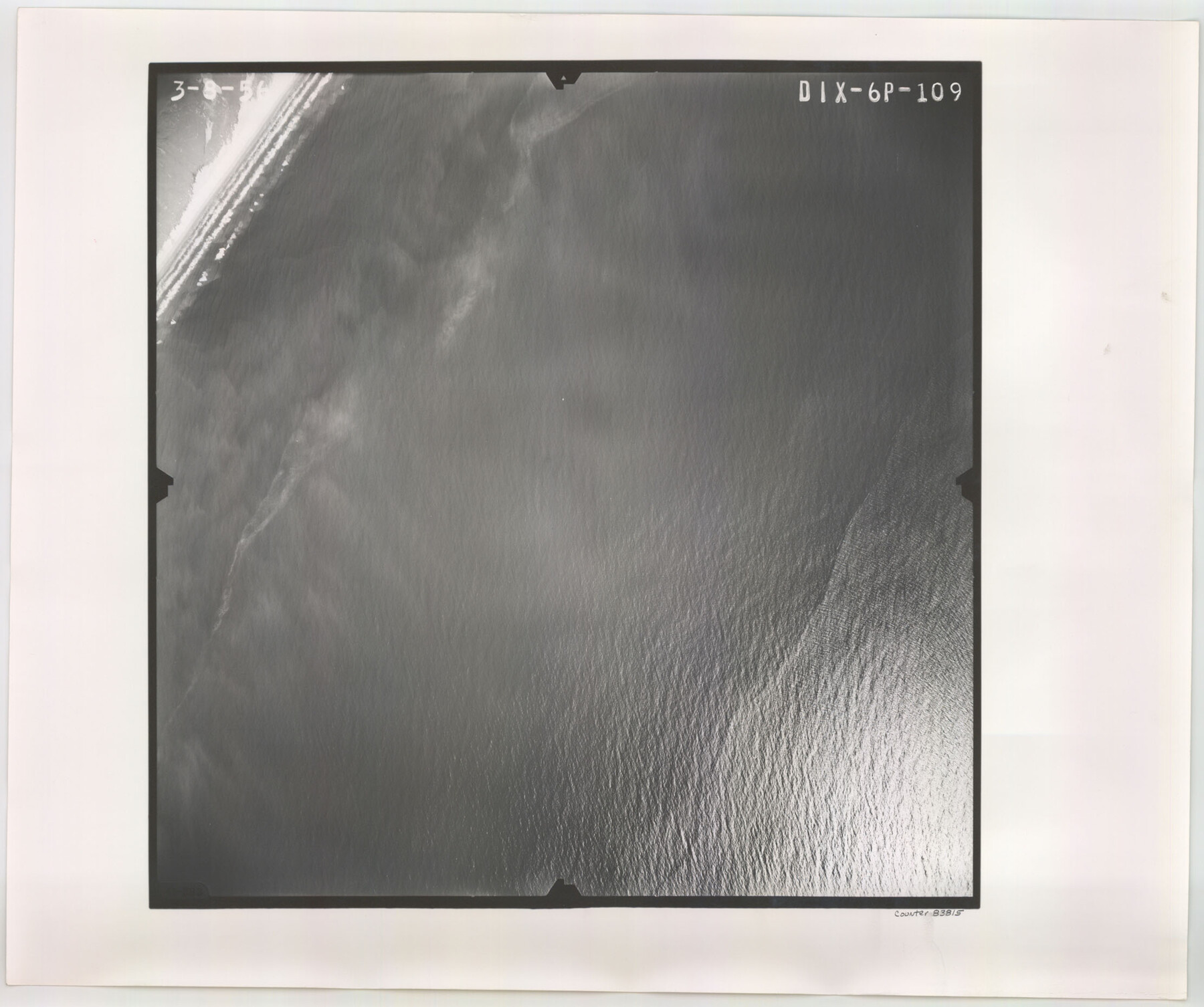
Flight Mission No. DIX-6P, Frame 109, Aransas County
DIX-6P-109
-
Map/Doc
83815
-
Collection
General Map Collection
-
Object Dates
1956/3/8 (Creation Date)
-
People and Organizations
U. S. Department of Agriculture (Publisher)
-
Counties
Aransas
-
Subjects
Aerial Photograph
-
Height x Width
18.8 x 22.5 inches
47.8 x 57.2 cm
-
Comments
Flown by V. L. Beavers and Associates of San Antonio, Texas.
Part of: General Map Collection
Caldwell County Working Sketch 9

Print $20.00
- Digital $50.00
Caldwell County Working Sketch 9
1968
Size 33.5 x 30.7 inches
Map/Doc 67839
Duval County Sketch File 20a

Print $5.00
- Digital $50.00
Duval County Sketch File 20a
Size 9.2 x 11.4 inches
Map/Doc 21322
Hardin County Rolled Sketch 12

Print $20.00
- Digital $50.00
Hardin County Rolled Sketch 12
1949
Size 36.3 x 47.3 inches
Map/Doc 10200
Atascosa County Sketch File 15a

Print $5.00
- Digital $50.00
Atascosa County Sketch File 15a
1879
Size 17.4 x 8.2 inches
Map/Doc 13777
Kendall County Working Sketch 18

Print $20.00
- Digital $50.00
Kendall County Working Sketch 18
1970
Size 43.2 x 33.3 inches
Map/Doc 66690

San Augustine County Sketch File 4

Print $4.00
San Augustine County Sketch File 4
1849
Size 6.5 x 5.4 inches
Map/Doc 35640
Flight Mission No. CRC-3R, Frame 211, Chambers County

Print $20.00
- Digital $50.00
Flight Mission No. CRC-3R, Frame 211, Chambers County
1956
Size 18.6 x 22.2 inches
Map/Doc 84866
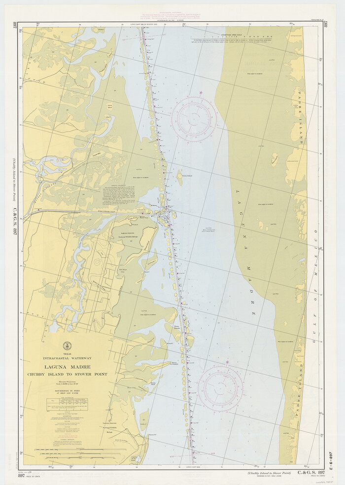
Texas Intracoastal Waterway - Laguna Madre - Rincon de San Jose to Chubby Island
Print $20.00
- Digital $50.00
Texas Intracoastal Waterway - Laguna Madre - Rincon de San Jose to Chubby Island
1961
Size 38.7 x 27.5 inches
Map/Doc 73515
Hutchinson County Rolled Sketch 44-15

Print $20.00
- Digital $50.00
Hutchinson County Rolled Sketch 44-15
2002
Size 24.0 x 36.0 inches
Map/Doc 77551

Crockett County Rolled Sketch 32

Print $20.00
- Digital $50.00
Crockett County Rolled Sketch 32
1930
Size 44.8 x 34.5 inches
Map/Doc 8697
You may also like
Kaufman County, Texas

Print $20.00
- Digital $50.00
Kaufman County, Texas
1871
Size 24.9 x 18.8 inches
Map/Doc 735
The City of Austin and Suburbs

Print $20.00
The City of Austin and Suburbs
1919
Size 24.1 x 19.1 inches
Map/Doc 76203
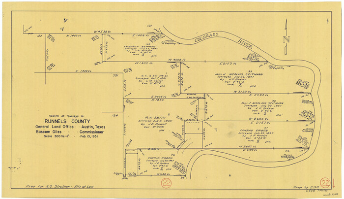
Runnels County Working Sketch 22
Print $20.00
- Digital $50.00
Runnels County Working Sketch 22
1951
Size 16.2 x 28.1 inches
Map/Doc 63618
Deaf Smith County Boundary File 1

Print $124.00
- Digital $50.00
Deaf Smith County Boundary File 1
Size 14.1 x 8.6 inches
Map/Doc 52372
Howard County Rolled Sketch 9

Print $20.00
- Digital $50.00
Howard County Rolled Sketch 9
1940
Size 35.2 x 26.9 inches
Map/Doc 6239
Travis County Working Sketch 6

Print $20.00
- Digital $50.00
Travis County Working Sketch 6
1913
Size 28.9 x 20.6 inches
Map/Doc 69390
Dickens County Rolled Sketch 1/2

Print $20.00
- Digital $50.00
Dickens County Rolled Sketch 1/2
1903
Size 23.3 x 22.6 inches
Map/Doc 5705
Dawson County Working Sketch 7

Print $20.00
- Digital $50.00
Dawson County Working Sketch 7
1942
Size 15.3 x 26.1 inches
Map/Doc 68551
U.S. Coast and Geodetic First Order Triangulation Stations Geographic Positions Plotted by W.D. Twichell

Digital $50.00
U.S. Coast and Geodetic First Order Triangulation Stations Geographic Positions Plotted by W.D. Twichell
Size 18.0 x 22.7 inches
Map/Doc 92044
Hutchinson County

Print $20.00
- Digital $50.00
Hutchinson County
1922
Size 44.4 x 36.5 inches
Map/Doc 73188
Pecos County Rolled Sketch 146A

Print $37.00
- Digital $50.00
Pecos County Rolled Sketch 146A
1957
Size 10.4 x 15.2 inches
Map/Doc 48396
Loving County State of Texas

Print $20.00
- Digital $50.00
Loving County State of Texas
1889
Size 20.6 x 24.3 inches
Map/Doc 4582