[Brown County]
-
Map/Doc
3337
-
Collection
General Map Collection
-
Object Dates
1863 (Creation Date)
-
Counties
Brown
-
Subjects
County
-
Height x Width
25.4 x 22.5 inches
64.5 x 57.2 cm
-
Features
Phantom Hill Road
Green Brier [sic] Creek
Pecan Bayou
Paint Creek
Copperas Creek
Sweet Water Creek
Elm Creek
Aguadulce [sic] Creek
Jim Ned Creek
Pompey's Creek
Blanket Creek
Clear Creek
Roark Creek
Colorado River
Brownwood
Part of: General Map Collection
Map of the City of Barry, John McGowan & J.B. & A. Adams Surveys, Navarro County, Texas


Print $20.00
- Digital $50.00
Map of the City of Barry, John McGowan & J.B. & A. Adams Surveys, Navarro County, Texas
1958
Size 28.4 x 25.4 inches
Map/Doc 94015
Kimble County Rolled Sketch 32


Print $20.00
- Digital $50.00
Kimble County Rolled Sketch 32
1973
Size 23.1 x 19.6 inches
Map/Doc 6522
Presidio County Rolled Sketch S1


Print $20.00
- Digital $50.00
Presidio County Rolled Sketch S1
Size 13.3 x 18.8 inches
Map/Doc 7414
Chambers County Sketch File 5

Print $2.00
- Digital $50.00
Chambers County Sketch File 5
Size 7.2 x 6.3 inches
Map/Doc 17539
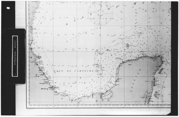
Gulf of Mexico

Print $20.00
- Digital $50.00
Gulf of Mexico
1908
Size 18.4 x 27.9 inches
Map/Doc 72662
Baylor County Sketch File 12D


Print $40.00
- Digital $50.00
Baylor County Sketch File 12D
1900
Size 20.0 x 42.5 inches
Map/Doc 10323
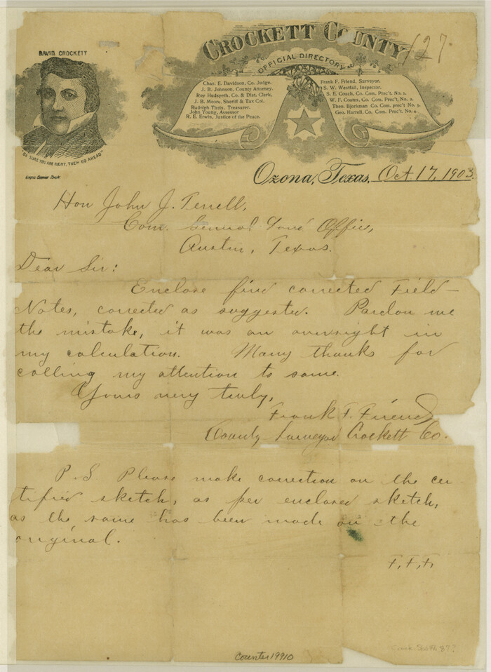
Crockett County Sketch File 87

Print $12.00
- Digital $50.00
Crockett County Sketch File 87
Size 12.3 x 9.0 inches
Map/Doc 19910
Foard County Working Sketch 9


Print $20.00
- Digital $50.00
Foard County Working Sketch 9
1977
Size 47.0 x 27.2 inches
Map/Doc 69200
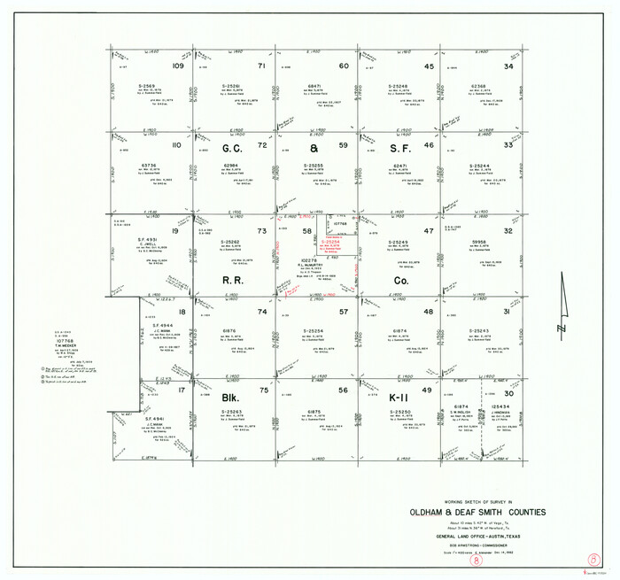
Oldham County Working Sketch 8

Print $20.00
- Digital $50.00
Oldham County Working Sketch 8
1982
Size 33.4 x 35.8 inches
Map/Doc 71330
Upton County Rolled Sketch 59
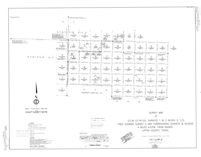

Print $40.00
- Digital $50.00
Upton County Rolled Sketch 59
Size 37.8 x 48.4 inches
Map/Doc 10062
Intracoastal Waterway in Texas - Corpus Christi to Point Isabel including Arroyo Colorado to Mo. Pac. R.R. Bridge Near Harlingen
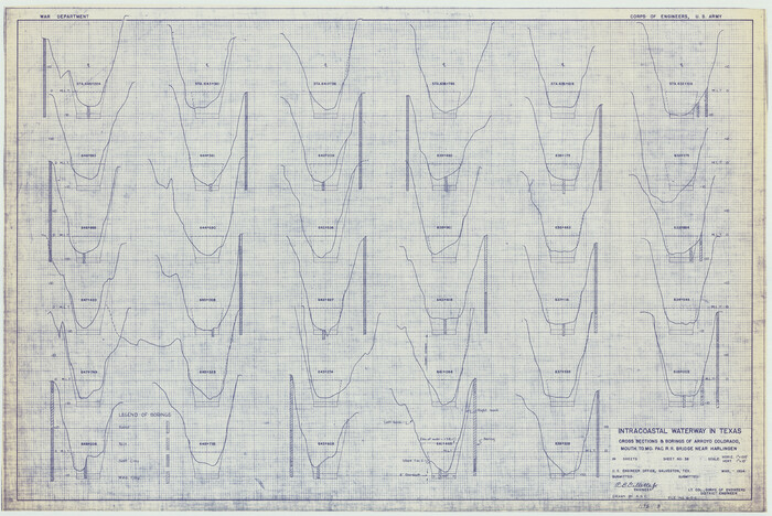

Print $20.00
- Digital $50.00
Intracoastal Waterway in Texas - Corpus Christi to Point Isabel including Arroyo Colorado to Mo. Pac. R.R. Bridge Near Harlingen
1934
Size 21.8 x 32.7 inches
Map/Doc 61885
Reagan County Sketch File 20


Print $4.00
- Digital $50.00
Reagan County Sketch File 20
Size 14.5 x 9.0 inches
Map/Doc 35011
You may also like
General Highway Map, Gregg County, Texas
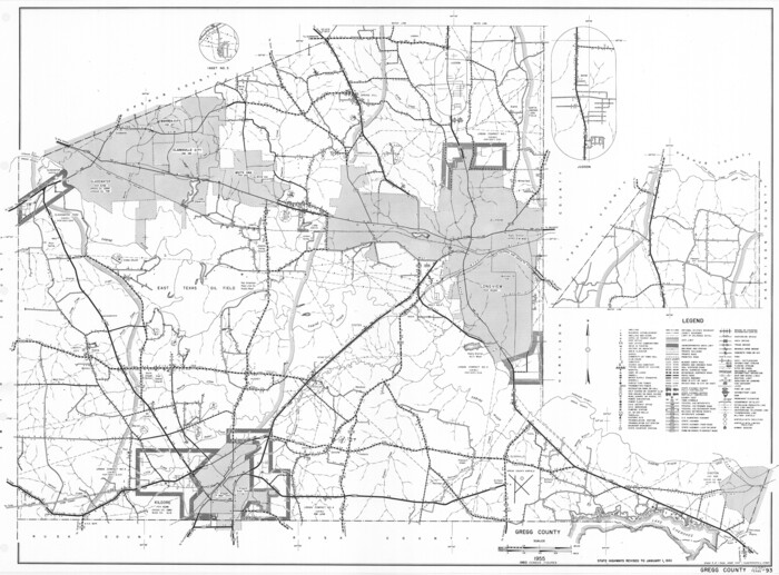

Print $20.00
General Highway Map, Gregg County, Texas
1961
Size 18.1 x 24.6 inches
Map/Doc 79489
United States - Gulf Coast - From Latitude 26° 33' to the Rio Grande Texas
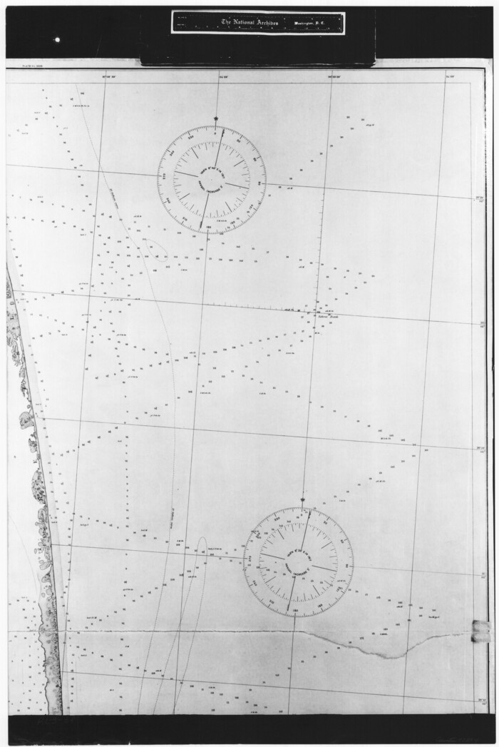

Print $20.00
- Digital $50.00
United States - Gulf Coast - From Latitude 26° 33' to the Rio Grande Texas
1919
Size 27.5 x 18.4 inches
Map/Doc 72854
Live Oak County Working Sketch 4
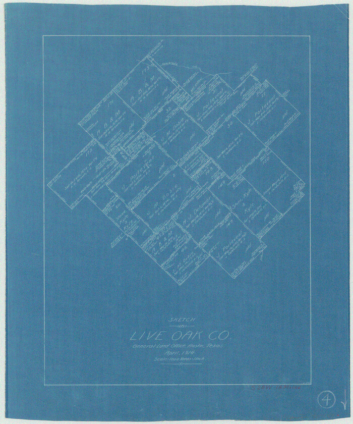

Print $20.00
- Digital $50.00
Live Oak County Working Sketch 4
1914
Size 16.8 x 14.0 inches
Map/Doc 70589
[H. & T. C. RR. Company, Block 47 and vicinity]
![91157, [H. & T. C. RR. Company, Block 47 and vicinity], Twichell Survey Records](https://historictexasmaps.com/wmedia_w700/maps/91157-1.tif.jpg)
![91157, [H. & T. C. RR. Company, Block 47 and vicinity], Twichell Survey Records](https://historictexasmaps.com/wmedia_w700/maps/91157-1.tif.jpg)
Print $20.00
- Digital $50.00
[H. & T. C. RR. Company, Block 47 and vicinity]
Size 20.7 x 24.3 inches
Map/Doc 91157
Map of South America designed to accompany Smith's Geography of Schools


Print $20.00
- Digital $50.00
Map of South America designed to accompany Smith's Geography of Schools
1850
Size 12.0 x 9.8 inches
Map/Doc 93891
St. Louis, Brownsville & Mexico Railway Location Map from Mile 120 to Rio Grande


Print $40.00
- Digital $50.00
St. Louis, Brownsville & Mexico Railway Location Map from Mile 120 to Rio Grande
1905
Size 19.6 x 67.7 inches
Map/Doc 64170
Madison County Working Sketch 14


Print $20.00
- Digital $50.00
Madison County Working Sketch 14
Size 24.9 x 17.0 inches
Map/Doc 78204
Calhoun County Working Sketch 3
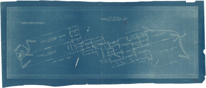

Print $20.00
- Digital $50.00
Calhoun County Working Sketch 3
1923
Size 18.4 x 42.4 inches
Map/Doc 67819
Harris County Boundary File 39 (11)


Print $8.00
- Digital $50.00
Harris County Boundary File 39 (11)
Size 12.8 x 8.0 inches
Map/Doc 54335
Padre Island National Seashore, Texas - Dependent Resurvey
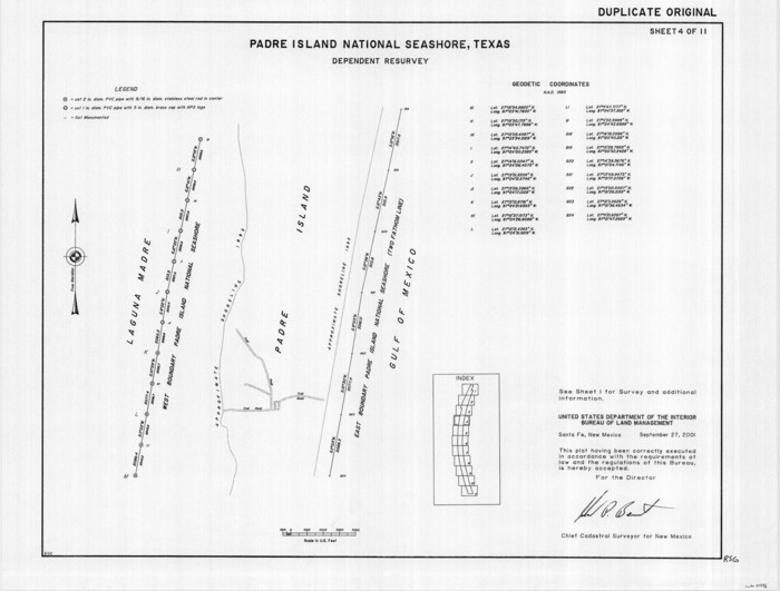

Print $4.00
- Digital $50.00
Padre Island National Seashore, Texas - Dependent Resurvey
2001
Size 18.3 x 24.2 inches
Map/Doc 60546
[Worksheets related to the Wilson Strickland survey and vicinity]
![91350, [Worksheets related to the Wilson Strickland survey and vicinity], Twichell Survey Records](https://historictexasmaps.com/wmedia_w700/maps/91350-1.tif.jpg)
![91350, [Worksheets related to the Wilson Strickland survey and vicinity], Twichell Survey Records](https://historictexasmaps.com/wmedia_w700/maps/91350-1.tif.jpg)
Print $20.00
- Digital $50.00
[Worksheets related to the Wilson Strickland survey and vicinity]
Size 29.6 x 43.6 inches
Map/Doc 91350
Lane Estate Ranch, Gaines County, Texas
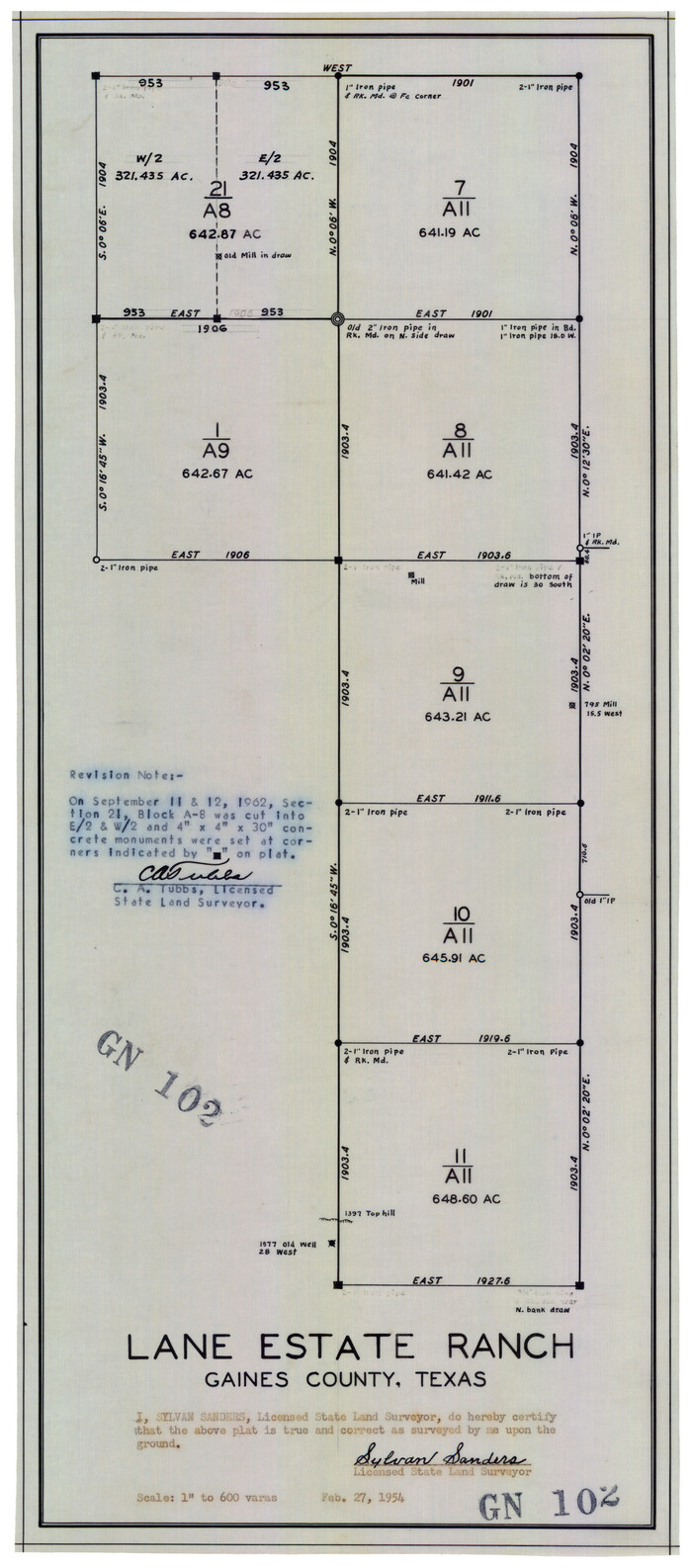

Print $20.00
- Digital $50.00
Lane Estate Ranch, Gaines County, Texas
1954
Size 9.1 x 20.8 inches
Map/Doc 92677
![3337, [Brown County], General Map Collection](https://historictexasmaps.com/wmedia_w1800h1800/maps/3337-1.tif.jpg)