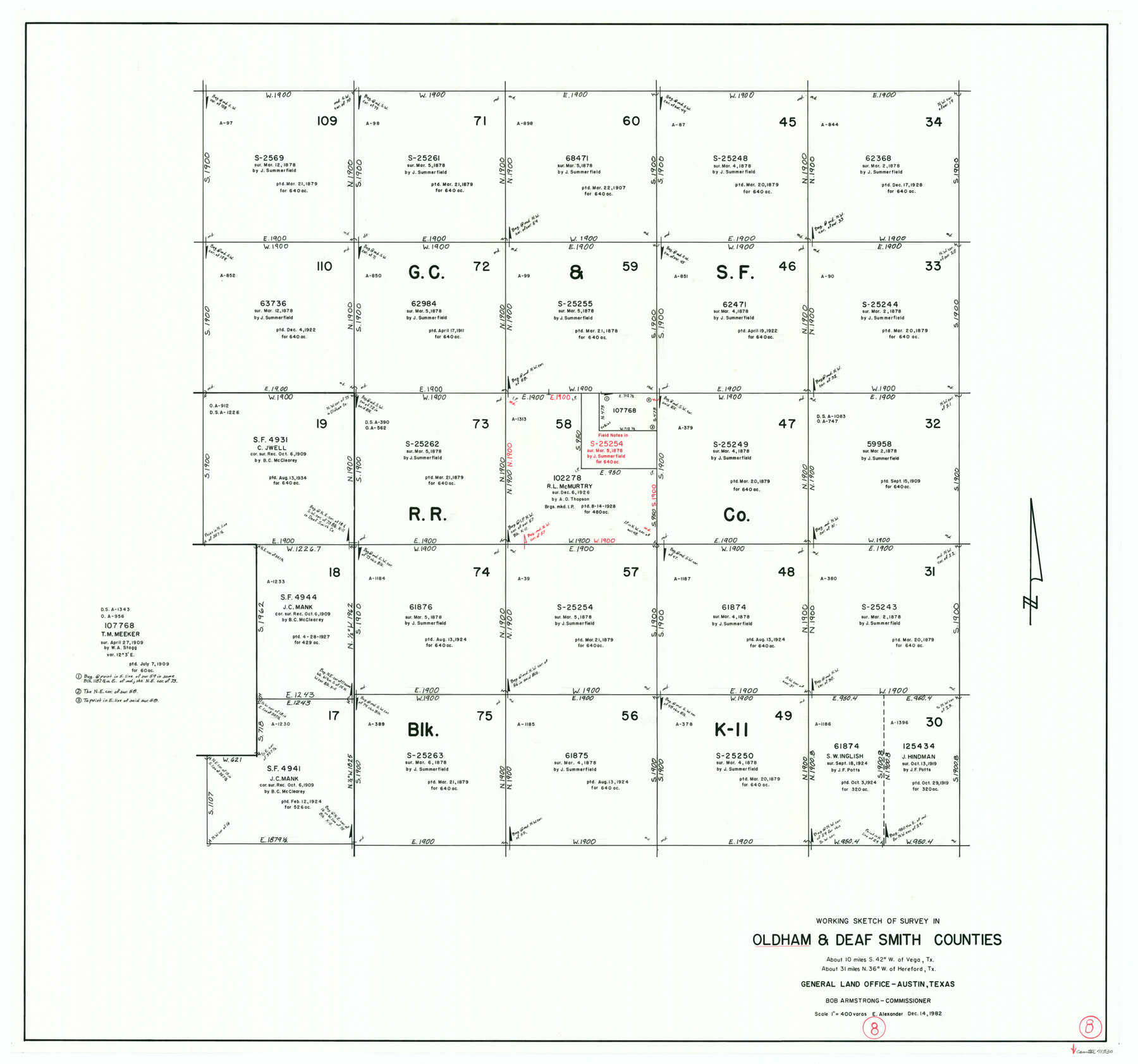
Oldham County Working Sketch 8
-
Map/Doc
71330
-
Collection
General Map Collection
-
Object Dates
12/14/1982 (Creation Date)
-
People and Organizations
Earl Alexander (Draftsman)
-
Counties
Oldham Deaf Smith
-
Subjects
Surveying Working Sketch
-
Height x Width
33.4 x 35.8 inches
84.8 x 90.9 cm
-
Scale
1" = 400 varas
Part of: General Map Collection
Map of west half of Sabine Lake, Jefferson Co., showing subdivision for mineral development

Print $20.00
- Digital $50.00
Map of west half of Sabine Lake, Jefferson Co., showing subdivision for mineral development
1956
Size 37.9 x 28.4 inches
Map/Doc 2897
The Coast & Bays of Western Texas, St. Joseph's and Mustang Islands from actual survey, the remainder from county maps, etc.

Print $20.00
- Digital $50.00
The Coast & Bays of Western Texas, St. Joseph's and Mustang Islands from actual survey, the remainder from county maps, etc.
1857
Size 27.9 x 18.3 inches
Map/Doc 72766
Flight Mission No. BQR-7K, Frame 24, Brazoria County

Print $20.00
- Digital $50.00
Flight Mission No. BQR-7K, Frame 24, Brazoria County
1952
Size 18.6 x 22.2 inches
Map/Doc 84022
Zavala County Working Sketch 24

Print $40.00
- Digital $50.00
Zavala County Working Sketch 24
1980
Size 75.6 x 42.8 inches
Map/Doc 62099
Sabine Pass and mouth of the River Sabine in the sea

Print $20.00
- Digital $50.00
Sabine Pass and mouth of the River Sabine in the sea
1840
Size 23.8 x 19.0 inches
Map/Doc 94268
Correct Map of Texas and Louisiana

Print $40.00
- Digital $50.00
Correct Map of Texas and Louisiana
1917
Size 41.6 x 53.6 inches
Map/Doc 2142
Kinney County Working Sketch 17

Print $20.00
- Digital $50.00
Kinney County Working Sketch 17
1947
Size 29.4 x 38.7 inches
Map/Doc 70199
Val Verde County Working Sketch 6

Print $20.00
- Digital $50.00
Val Verde County Working Sketch 6
1915
Size 23.2 x 20.7 inches
Map/Doc 72141
Crockett County Working Sketch 8

Print $20.00
- Digital $50.00
Crockett County Working Sketch 8
1903
Size 15.2 x 30.3 inches
Map/Doc 68341
Culberson County Rolled Sketch 27

Print $20.00
- Digital $50.00
Culberson County Rolled Sketch 27
1922
Size 26.8 x 34.9 inches
Map/Doc 5656
Kinney County Sketch File 11

Print $20.00
- Digital $50.00
Kinney County Sketch File 11
1885
Size 28.3 x 18.1 inches
Map/Doc 11939
Upton County Rolled Sketch 40

Print $20.00
- Digital $50.00
Upton County Rolled Sketch 40
Size 26.2 x 39.7 inches
Map/Doc 8079
You may also like
San Patricio County Sketch File 41

Print $4.00
- Digital $50.00
San Patricio County Sketch File 41
1842
Size 5.2 x 8.0 inches
Map/Doc 36238
Part of Laguna Madre in Willacy and Cameron Counties, showing Subdivision for Mineral Development

Print $20.00
- Digital $50.00
Part of Laguna Madre in Willacy and Cameron Counties, showing Subdivision for Mineral Development
1950
Size 45.1 x 36.8 inches
Map/Doc 1925
Morris County Boundary File 2

Print $6.00
- Digital $50.00
Morris County Boundary File 2
Size 14.1 x 8.7 inches
Map/Doc 57482
Galveston County Rolled Sketch 17

Print $20.00
- Digital $50.00
Galveston County Rolled Sketch 17
1940
Size 40.4 x 35.4 inches
Map/Doc 9079
Brazos River Conservation and Reclamation District Official Boundary Line Survey, Parmer County

Print $20.00
- Digital $50.00
Brazos River Conservation and Reclamation District Official Boundary Line Survey, Parmer County
Size 24.6 x 16.8 inches
Map/Doc 91659
Kleberg County Rolled Sketch 10-43

Print $20.00
- Digital $50.00
Kleberg County Rolled Sketch 10-43
1951
Size 37.2 x 34.9 inches
Map/Doc 9395
Jack County Sketch File 15

Print $4.00
- Digital $50.00
Jack County Sketch File 15
1880
Size 7.3 x 13.7 inches
Map/Doc 27545
Oldham County Working Sketch 3

Print $20.00
- Digital $50.00
Oldham County Working Sketch 3
1946
Size 26.2 x 19.3 inches
Map/Doc 71325
Phelps & Watson's historical and military map of the border & southern states

Print $20.00
- Digital $50.00
Phelps & Watson's historical and military map of the border & southern states
1863
Size 26.1 x 37.1 inches
Map/Doc 97083
Flight Mission No. DQN-2K, Frame 47, Calhoun County

Print $20.00
- Digital $50.00
Flight Mission No. DQN-2K, Frame 47, Calhoun County
1953
Size 18.5 x 22.2 inches
Map/Doc 84252
Laguna Madre, T-9210

Print $20.00
- Digital $50.00
Laguna Madre, T-9210
Size 34.6 x 31.9 inches
Map/Doc 73601
Liberty County Sketch File 59

Print $6.00
- Digital $50.00
Liberty County Sketch File 59
1943
Size 14.2 x 8.8 inches
Map/Doc 30068