[H. & T. C. RR. Company, Block 47 and vicinity]
117-43
-
Map/Doc
91157
-
Collection
Twichell Survey Records
-
Counties
Hutchinson
-
Height x Width
20.7 x 24.3 inches
52.6 x 61.7 cm
Part of: Twichell Survey Records
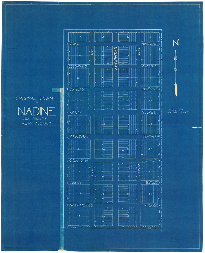
Original Town of Nadine, Lea County, New Mexico

Print $20.00
- Digital $50.00
Original Town of Nadine, Lea County, New Mexico
1928
Size 27.6 x 34.0 inches
Map/Doc 92434
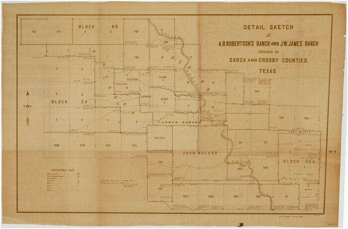
Detail Sketch of A.B. Robertson's Ranch and J.W. James' Ranch situated in Garza and Crosby Counties, Texas

Print $40.00
- Digital $50.00
Detail Sketch of A.B. Robertson's Ranch and J.W. James' Ranch situated in Garza and Crosby Counties, Texas
Size 51.7 x 34.3 inches
Map/Doc 89754
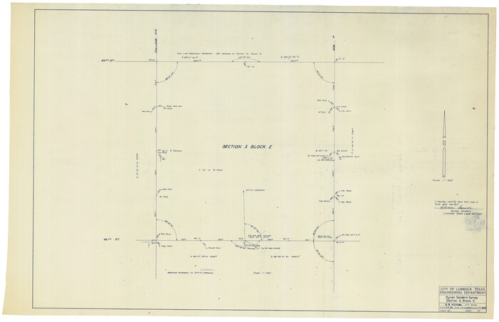
Sylvan Sanders Survey Section 3, Block E

Print $20.00
- Digital $50.00
Sylvan Sanders Survey Section 3, Block E
1952
Size 37.4 x 24.2 inches
Map/Doc 92741
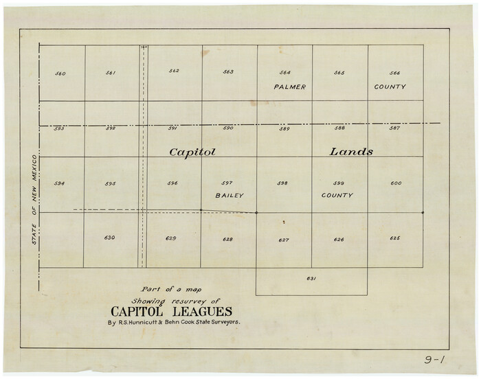
Part of a map showing resurvey of Capitol Leagues by R. S. Hunnicutt & Behn Cook State Surveyors

Print $20.00
- Digital $50.00
Part of a map showing resurvey of Capitol Leagues by R. S. Hunnicutt & Behn Cook State Surveyors
Size 22.2 x 17.6 inches
Map/Doc 90276
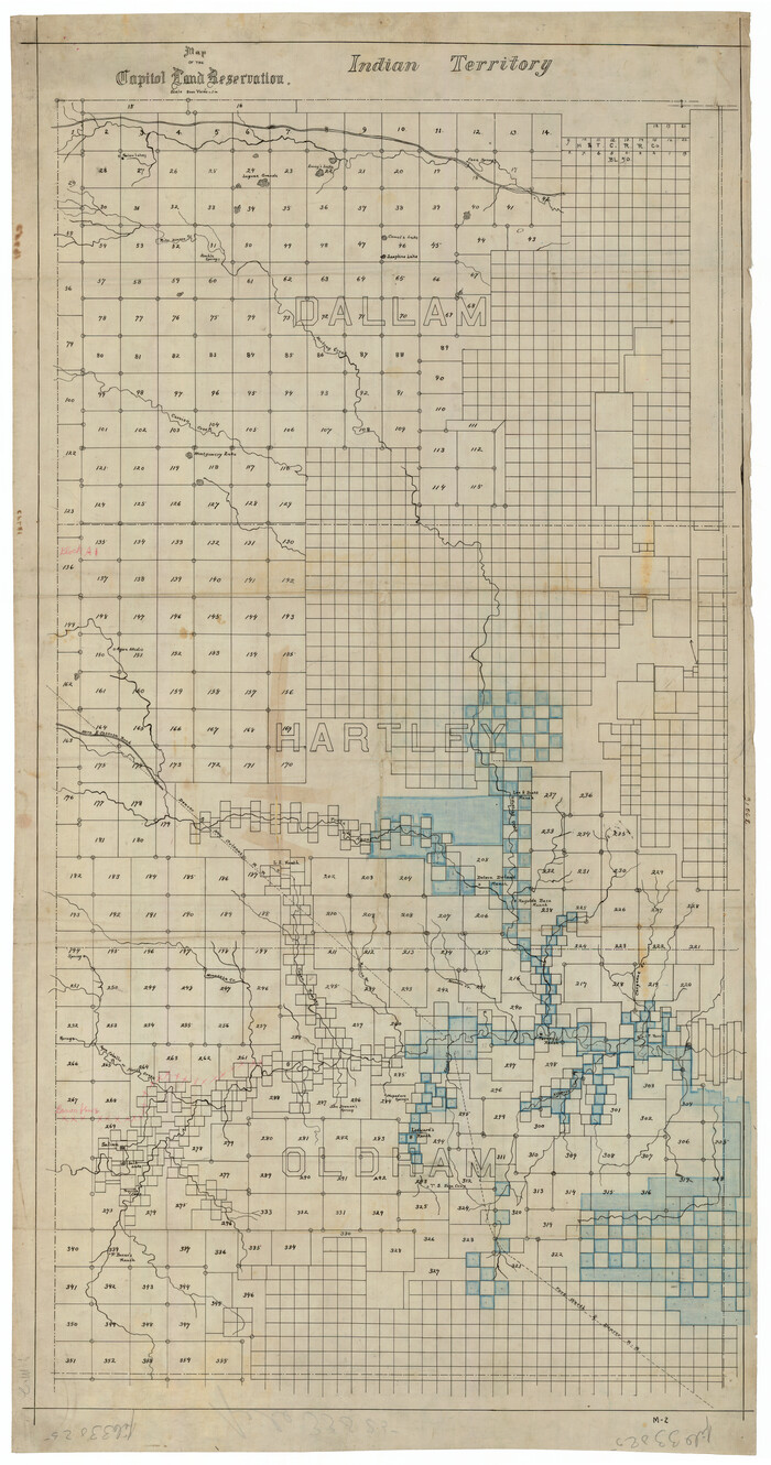
Map of the Capitol Land Reservation

Print $40.00
- Digital $50.00
Map of the Capitol Land Reservation
Size 26.3 x 49.5 inches
Map/Doc 92042
[Northwest part of County]
![90865, [Northwest part of County], Twichell Survey Records](https://historictexasmaps.com/wmedia_w700/maps/90865-2.tif.jpg)
![90865, [Northwest part of County], Twichell Survey Records](https://historictexasmaps.com/wmedia_w700/maps/90865-2.tif.jpg)
Print $20.00
- Digital $50.00
[Northwest part of County]
Size 32.3 x 22.3 inches
Map/Doc 90865
[E. L. & R. R. RR. Co. Block D7 and G. H. & H. RR. Co. Block A1]
![91859, [E. L. & R. R. RR. Co. Block D7 and G. H. & H. RR. Co. Block A1], Twichell Survey Records](https://historictexasmaps.com/wmedia_w700/maps/91859-1.tif.jpg)
![91859, [E. L. & R. R. RR. Co. Block D7 and G. H. & H. RR. Co. Block A1], Twichell Survey Records](https://historictexasmaps.com/wmedia_w700/maps/91859-1.tif.jpg)
Print $20.00
- Digital $50.00
[E. L. & R. R. RR. Co. Block D7 and G. H. & H. RR. Co. Block A1]
Size 19.0 x 25.2 inches
Map/Doc 91859
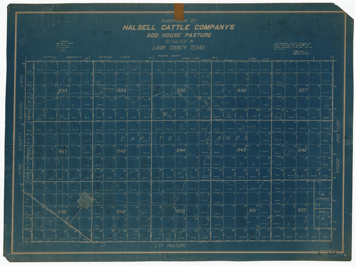
Subdivision of Halsell Cattle Company's Sod House Pasture Situated in Lamb County, Texas

Print $20.00
- Digital $50.00
Subdivision of Halsell Cattle Company's Sod House Pasture Situated in Lamb County, Texas
Size 37.3 x 28.2 inches
Map/Doc 92169
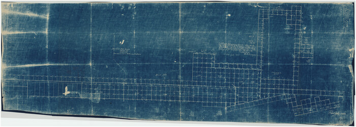
Sketch in Terry, Yoakum, Dawson and Gaines Co's.

Print $40.00
- Digital $50.00
Sketch in Terry, Yoakum, Dawson and Gaines Co's.
1902
Size 72.8 x 26.4 inches
Map/Doc 89782
Yellow House Land Company's Subdivision of State Capitol Leagues Hockley and Lamb Counties, Texas


Print $20.00
- Digital $50.00
Yellow House Land Company's Subdivision of State Capitol Leagues Hockley and Lamb Counties, Texas
Size 22.4 x 23.0 inches
Map/Doc 92206
Moxley-McWhorter Irrigated Farm


Print $20.00
- Digital $50.00
Moxley-McWhorter Irrigated Farm
1946
Size 27.5 x 15.8 inches
Map/Doc 92338
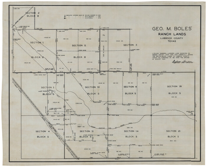
George M. Boles' Ranch Lands

Print $20.00
- Digital $50.00
George M. Boles' Ranch Lands
1935
Size 31.0 x 24.9 inches
Map/Doc 92862
You may also like
The History of the Republic of Texas, from the discovery of the country to the present time; and the cause of her separation from the Republic of Mexico.

Print $1080.00
- Digital $50.00
The History of the Republic of Texas, from the discovery of the country to the present time; and the cause of her separation from the Republic of Mexico.
1842
Size 9.3 x 6.1 inches
Map/Doc 93866
El Paso County Boundary File 18
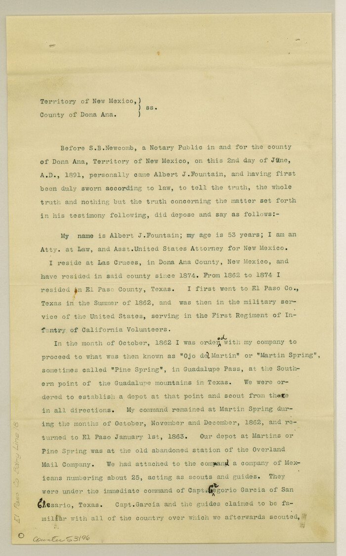

Print $21.00
- Digital $50.00
El Paso County Boundary File 18
Size 13.7 x 8.5 inches
Map/Doc 53196
Harris County Working Sketch 112
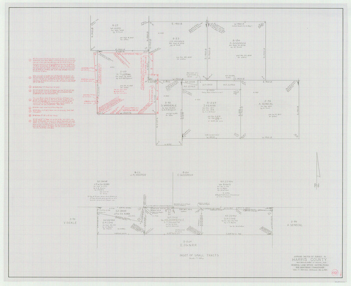

Print $20.00
- Digital $50.00
Harris County Working Sketch 112
1982
Size 31.0 x 38.1 inches
Map/Doc 66004
Right of Way & Track Map, St. Louis, Brownsville & Mexico Ry. operated by St. Louis, Brownsville & Mexico Ry. Co.
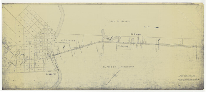

Print $40.00
- Digital $50.00
Right of Way & Track Map, St. Louis, Brownsville & Mexico Ry. operated by St. Louis, Brownsville & Mexico Ry. Co.
1919
Size 25.7 x 57.4 inches
Map/Doc 64617
Lamar County State Real Property Sketch 1


Print $20.00
- Digital $50.00
Lamar County State Real Property Sketch 1
2013
Size 24.0 x 36.0 inches
Map/Doc 93656
Map of Titus County
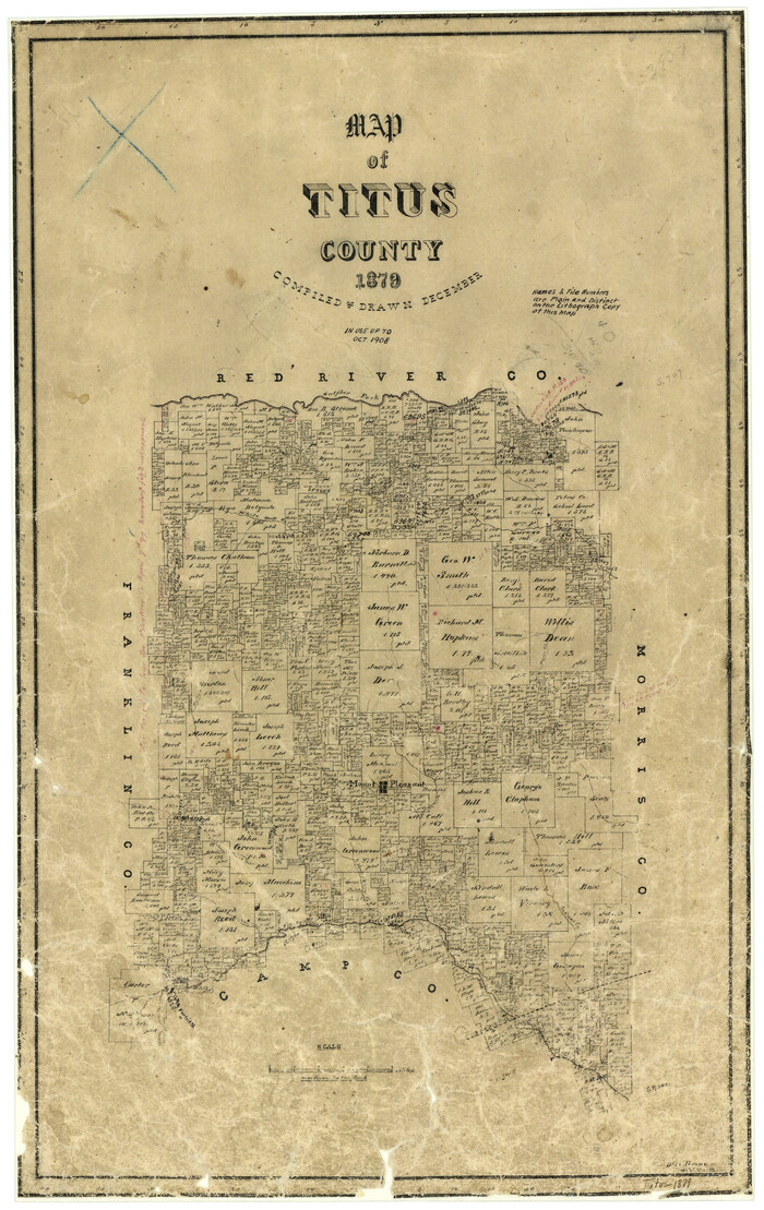

Print $20.00
- Digital $50.00
Map of Titus County
1879
Size 23.3 x 14.7 inches
Map/Doc 4082
Jeff Davis County Working Sketch 20
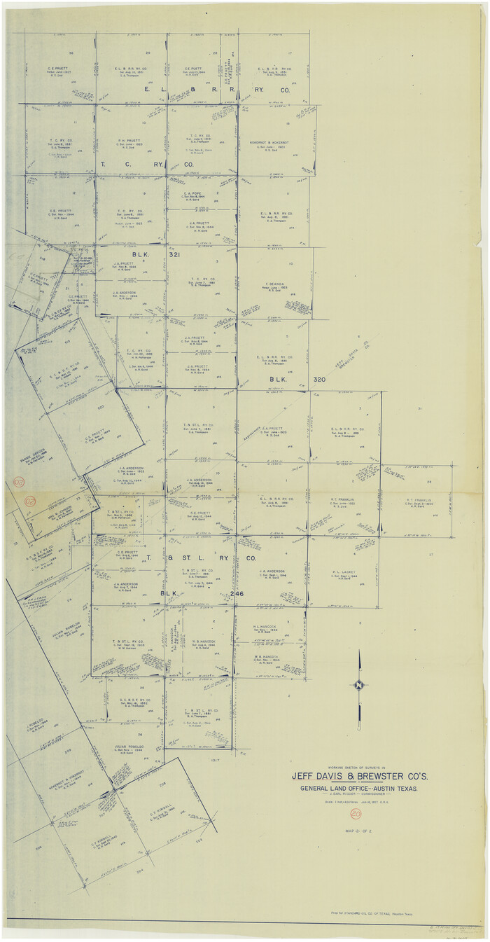

Print $40.00
- Digital $50.00
Jeff Davis County Working Sketch 20
1957
Size 63.0 x 32.8 inches
Map/Doc 66515
[Sections in the vicinity of John P. Rohus and Mary Fury surveys]
![92987, [Sections in the vicinity of John P. Rohus and Mary Fury surveys], Twichell Survey Records](https://historictexasmaps.com/wmedia_w700/maps/92987-1.tif.jpg)
![92987, [Sections in the vicinity of John P. Rohus and Mary Fury surveys], Twichell Survey Records](https://historictexasmaps.com/wmedia_w700/maps/92987-1.tif.jpg)
Print $20.00
- Digital $50.00
[Sections in the vicinity of John P. Rohus and Mary Fury surveys]
Size 12.2 x 13.1 inches
Map/Doc 92987
Map of Mason County
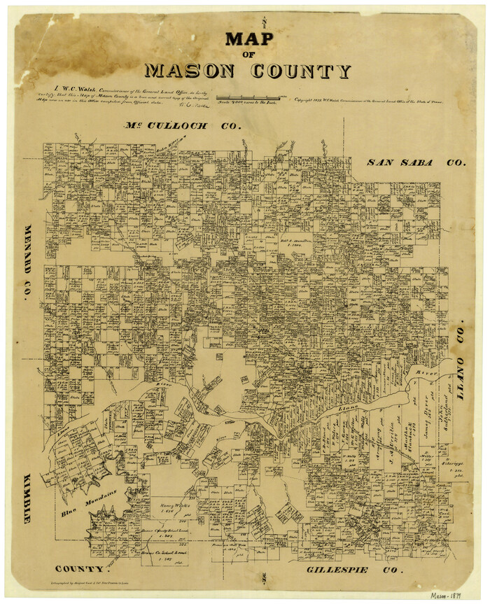

Print $20.00
- Digital $50.00
Map of Mason County
1879
Size 22.9 x 18.8 inches
Map/Doc 4593
El Paso County Working Sketch 37
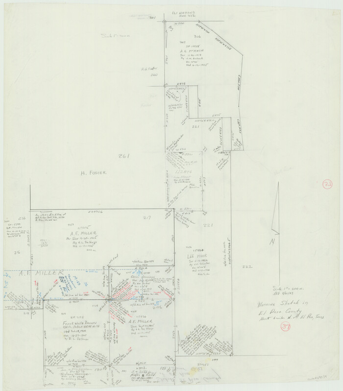

Print $20.00
- Digital $50.00
El Paso County Working Sketch 37
1983
Size 28.2 x 24.8 inches
Map/Doc 69059
Pecos County Working Sketch 105


Print $40.00
- Digital $50.00
Pecos County Working Sketch 105
1971
Size 49.3 x 43.5 inches
Map/Doc 71578
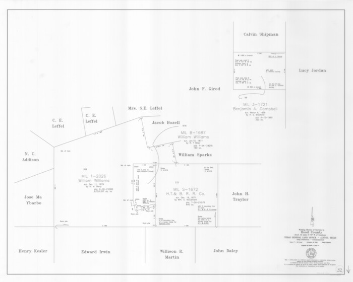
Hood County Working Sketch 32

Print $20.00
- Digital $50.00
Hood County Working Sketch 32
2004
Size 28.5 x 35.6 inches
Map/Doc 83573
![91157, [H. & T. C. RR. Company, Block 47 and vicinity], Twichell Survey Records](https://historictexasmaps.com/wmedia_w1800h1800/maps/91157-1.tif.jpg)