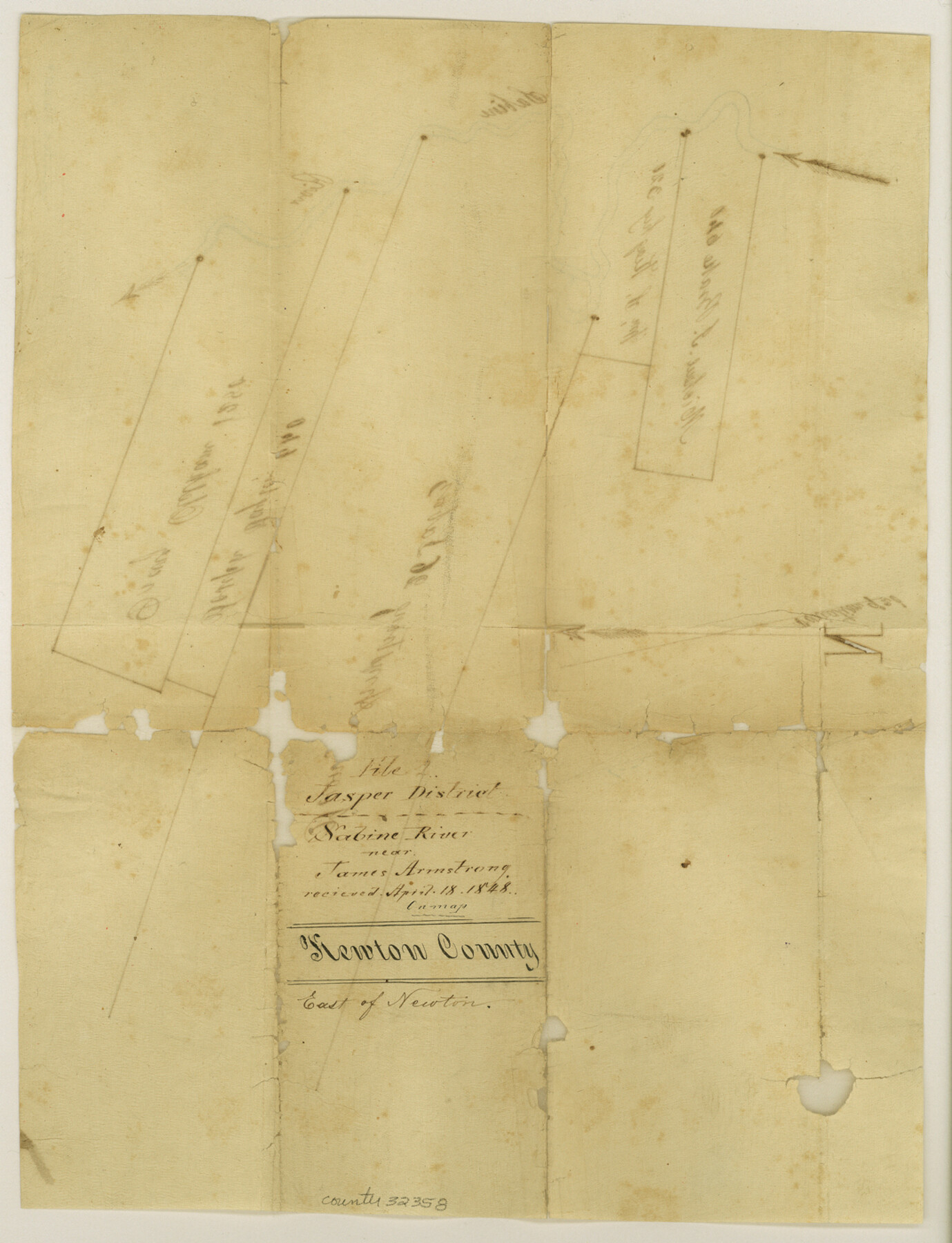
Newton County Sketch File 2
[Sketch of James Armstrong survey and surrounding area on Sabine River east of Newton]
-
Map/Doc
32358
-
Collection
General Map Collection
-
Object Dates
4/18/1848 (File Date)
-
Counties
Newton
-
Subjects
Surveying Sketch File
-
Height x Width
14.0 x 10.7 inches
35.6 x 27.2 cm
-
Medium
paper, manuscript
Part of: General Map Collection
Jim Wells County Boundary File 1a

Print $80.00
- Digital $50.00
Jim Wells County Boundary File 1a
Size 60.8 x 13.5 inches
Map/Doc 55542
Karnes County Working Sketch 6

Print $20.00
- Digital $50.00
Karnes County Working Sketch 6
1961
Size 23.3 x 27.5 inches
Map/Doc 66654
Willacy County Sketch File 1a

Print $272.00
- Digital $50.00
Willacy County Sketch File 1a
1977
Size 8.3 x 3.7 inches
Map/Doc 40239
Flight Mission No. BRA-7M, Frame 202, Jefferson County

Print $20.00
- Digital $50.00
Flight Mission No. BRA-7M, Frame 202, Jefferson County
1953
Size 18.6 x 22.3 inches
Map/Doc 85570
Harrison County Rolled Sketch 6

Print $20.00
- Digital $50.00
Harrison County Rolled Sketch 6
1952
Size 23.4 x 24.2 inches
Map/Doc 6152
Orange County Working Sketch 51

Print $20.00
- Digital $50.00
Orange County Working Sketch 51
1992
Size 29.6 x 22.0 inches
Map/Doc 71383
Montgomery County Rolled Sketch 42

Print $20.00
- Digital $50.00
Montgomery County Rolled Sketch 42
1939
Size 14.0 x 20.1 inches
Map/Doc 6821
Val Verde County Sketch File 4

Print $30.00
- Digital $50.00
Val Verde County Sketch File 4
1888
Size 28.0 x 20.6 inches
Map/Doc 12561
Stonewall County Sketch File 12A

Print $20.00
- Digital $50.00
Stonewall County Sketch File 12A
Size 25.6 x 17.4 inches
Map/Doc 12364
Sutton County Sketch File 9

Print $6.00
- Digital $50.00
Sutton County Sketch File 9
1893
Size 14.2 x 8.5 inches
Map/Doc 37367
Haskell County Working Sketch 12

Print $20.00
- Digital $50.00
Haskell County Working Sketch 12
1979
Size 39.3 x 44.2 inches
Map/Doc 66070
Jeff Davis County Working Sketch 35

Print $20.00
- Digital $50.00
Jeff Davis County Working Sketch 35
1979
Size 34.4 x 36.9 inches
Map/Doc 66530
You may also like
Throckmorton County Sketch File 6

Print $27.00
- Digital $50.00
Throckmorton County Sketch File 6
1888
Size 9.0 x 6.9 inches
Map/Doc 38076
Map of Arizona prepared specially for R.J. Hinton's handbook of Arizona

Print $20.00
- Digital $50.00
Map of Arizona prepared specially for R.J. Hinton's handbook of Arizona
1877
Size 36.4 x 25.7 inches
Map/Doc 94062
William T. Brewster and Surrounding Surveys]
![91024, William T. Brewster and Surrounding Surveys], Twichell Survey Records](https://historictexasmaps.com/wmedia_w700/maps/91024-1.tif.jpg)
Print $20.00
- Digital $50.00
William T. Brewster and Surrounding Surveys]
Size 20.3 x 36.8 inches
Map/Doc 91024
Flight Mission No. DIX-6P, Frame 199, Aransas County

Print $20.00
- Digital $50.00
Flight Mission No. DIX-6P, Frame 199, Aransas County
1956
Size 18.8 x 22.6 inches
Map/Doc 83861
Topographical Map of the Rio Grande, Sheet No. 19

Print $20.00
- Digital $50.00
Topographical Map of the Rio Grande, Sheet No. 19
1912
Map/Doc 89543
Flight Mission No. BRE-1P, Frame 129, Nueces County

Print $20.00
- Digital $50.00
Flight Mission No. BRE-1P, Frame 129, Nueces County
1956
Size 18.5 x 22.6 inches
Map/Doc 86695
Freestone County Sketch File 6

Print $4.00
- Digital $50.00
Freestone County Sketch File 6
1858
Size 10.3 x 8.8 inches
Map/Doc 23050
The Republic County of Robertson. Created, December 14, 1837

Print $20.00
The Republic County of Robertson. Created, December 14, 1837
2020
Size 18.9 x 21.6 inches
Map/Doc 96259

Midland County Working Sketch 14

Print $40.00
- Digital $50.00
Midland County Working Sketch 14
1953
Size 65.0 x 31.0 inches
Map/Doc 70994
Flight Mission No. BRA-6M, Frame 81, Jefferson County

Print $20.00
- Digital $50.00
Flight Mission No. BRA-6M, Frame 81, Jefferson County
1953
Size 18.6 x 22.6 inches
Map/Doc 85425
Real County Working Sketch 84

Print $20.00
- Digital $50.00
Real County Working Sketch 84
1986
Size 25.0 x 40.7 inches
Map/Doc 71976