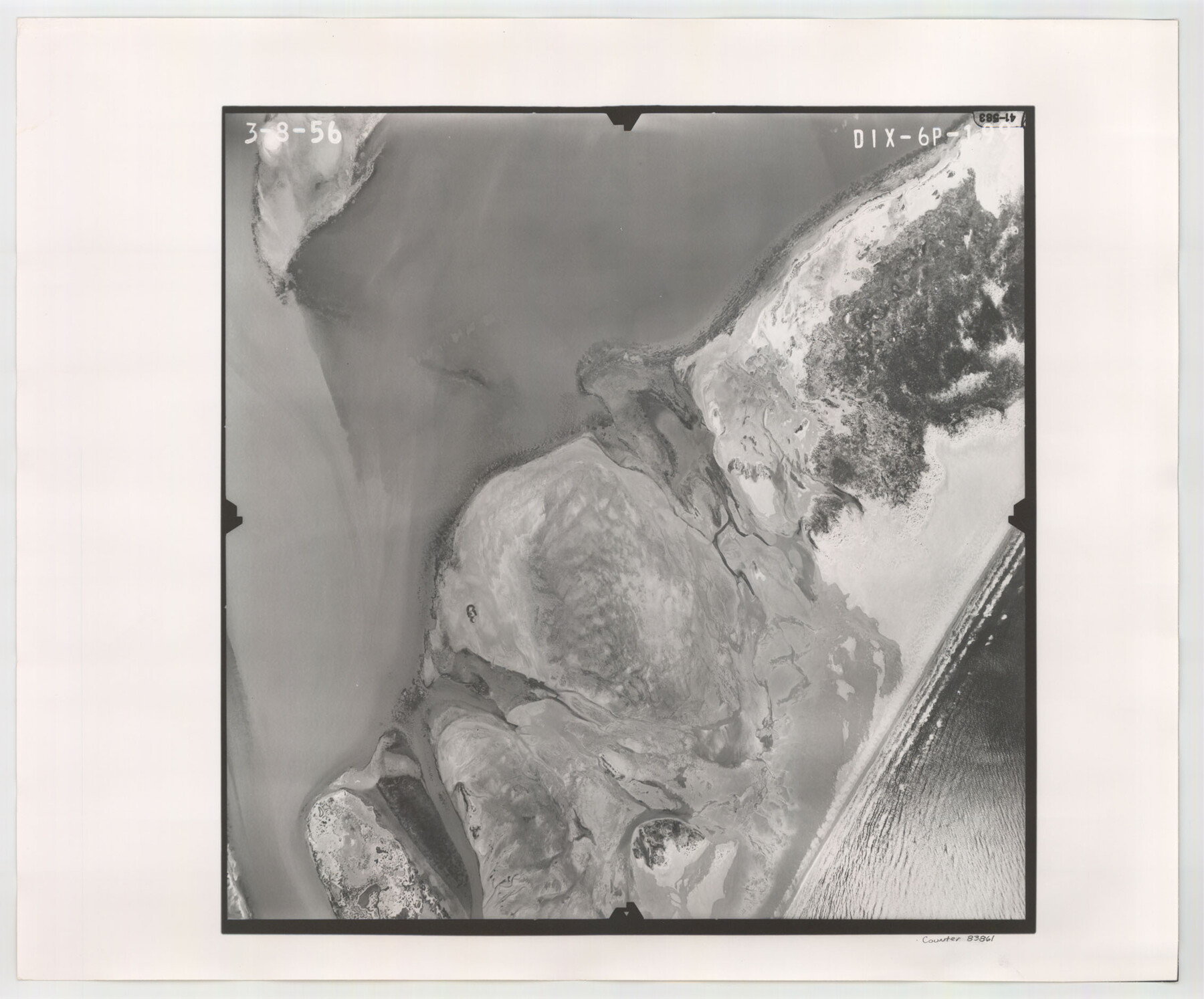
Flight Mission No. DIX-6P, Frame 199, Aransas County
DIX-6P-199
-
Map/Doc
83861
-
Collection
General Map Collection
-
Object Dates
1956/3/8 (Creation Date)
-
People and Organizations
U. S. Department of Agriculture (Publisher)
-
Counties
Aransas
-
Subjects
Aerial Photograph
-
Height x Width
18.8 x 22.6 inches
47.8 x 57.4 cm
-
Comments
Flown by V. L. Beavers and Associates of San Antonio, Texas.
Part of: General Map Collection
Oldham County Boundary File 3

Print $80.00
- Digital $50.00
Oldham County Boundary File 3
Size 20.0 x 58.0 inches
Map/Doc 57771
Flight Mission No. BRE-1P, Frame 76, Nueces County

Print $20.00
- Digital $50.00
Flight Mission No. BRE-1P, Frame 76, Nueces County
1956
Size 18.6 x 22.4 inches
Map/Doc 86658
Flight Mission No. DQO-8K, Frame 51, Galveston County

Print $20.00
- Digital $50.00
Flight Mission No. DQO-8K, Frame 51, Galveston County
1952
Size 18.7 x 22.3 inches
Map/Doc 85158
Nueces County Sketch File 37

Print $2.00
- Digital $50.00
Nueces County Sketch File 37
1913
Size 11.2 x 8.6 inches
Map/Doc 32614
Glasscock County Sketch File 14

Print $8.00
- Digital $50.00
Glasscock County Sketch File 14
1935
Size 11.3 x 8.6 inches
Map/Doc 24178
[Surveys along Seco, Pecan and Deer Creeks]
![316, [Surveys along Seco, Pecan and Deer Creeks], General Map Collection](https://historictexasmaps.com/wmedia_w700/maps/316.tif.jpg)
Print $2.00
- Digital $50.00
[Surveys along Seco, Pecan and Deer Creeks]
1847
Size 8.9 x 7.8 inches
Map/Doc 316
Limestone County Sketch File 16

Print $4.00
- Digital $50.00
Limestone County Sketch File 16
Size 12.8 x 8.3 inches
Map/Doc 30185
Current Miscellaneous File 65

Print $8.00
- Digital $50.00
Current Miscellaneous File 65
Size 11.2 x 8.6 inches
Map/Doc 74109
Comanche County Rolled Sketch 2

Print $40.00
- Digital $50.00
Comanche County Rolled Sketch 2
1989
Size 36.9 x 48.6 inches
Map/Doc 10299
A Map of the Republic of Texas and the adjacent territories, indicating the grants of land conceded under the empresario system of Mexico

Print $20.00
- Digital $50.00
A Map of the Republic of Texas and the adjacent territories, indicating the grants of land conceded under the empresario system of Mexico
1841
Size 13.8 x 16.6 inches
Map/Doc 93752
Baylor County Boundary File 5

Print $56.00
- Digital $50.00
Baylor County Boundary File 5
Size 8.1 x 62.3 inches
Map/Doc 50392
Montague County Working Sketch 20

Print $20.00
- Digital $50.00
Montague County Working Sketch 20
1952
Size 23.0 x 37.0 inches
Map/Doc 71086
You may also like
[Missouri, Kansas & Texas Line Map through Bastrop County]
![64033, [Missouri, Kansas & Texas Line Map through Bastrop County], General Map Collection](https://historictexasmaps.com/wmedia_w700/maps/64033.tif.jpg)
Print $40.00
- Digital $50.00
[Missouri, Kansas & Texas Line Map through Bastrop County]
1916
Size 25.2 x 68.9 inches
Map/Doc 64033
Jefferson County Working Sketch 17

Print $20.00
- Digital $50.00
Jefferson County Working Sketch 17
1954
Size 47.1 x 30.3 inches
Map/Doc 66560
Real County Working Sketch 57

Print $20.00
- Digital $50.00
Real County Working Sketch 57
1962
Size 19.6 x 25.8 inches
Map/Doc 71949
Map of Kimble County

Print $20.00
- Digital $50.00
Map of Kimble County
1878
Size 19.7 x 29.0 inches
Map/Doc 3766
Hill County Sketch File 26

Print $12.00
- Digital $50.00
Hill County Sketch File 26
1892
Size 8.9 x 8.5 inches
Map/Doc 26522
Denton County Working Sketch 39

Print $20.00
- Digital $50.00
Denton County Working Sketch 39
2018
Size 24.2 x 35.4 inches
Map/Doc 95323
General Highway Map, Kenedy County, Texas

Print $20.00
General Highway Map, Kenedy County, Texas
1940
Size 18.5 x 24.9 inches
Map/Doc 79154
Winkler County

Print $20.00
- Digital $50.00
Winkler County
1901
Size 44.1 x 37.9 inches
Map/Doc 63131
Uvalde County Working Sketch 26

Print $20.00
- Digital $50.00
Uvalde County Working Sketch 26
1954
Size 37.2 x 31.9 inches
Map/Doc 72096
Bosque County Rolled Sketch 3

Print $20.00
- Digital $50.00
Bosque County Rolled Sketch 3
Size 24.6 x 19.1 inches
Map/Doc 89015
Throckmorton County Sketch File 13

Print $20.00
- Digital $50.00
Throckmorton County Sketch File 13
1994
Size 11.3 x 9.1 inches
Map/Doc 38120
Limestone County Sketch File 14

Print $4.00
- Digital $50.00
Limestone County Sketch File 14
1883
Size 10.7 x 8.2 inches
Map/Doc 30179