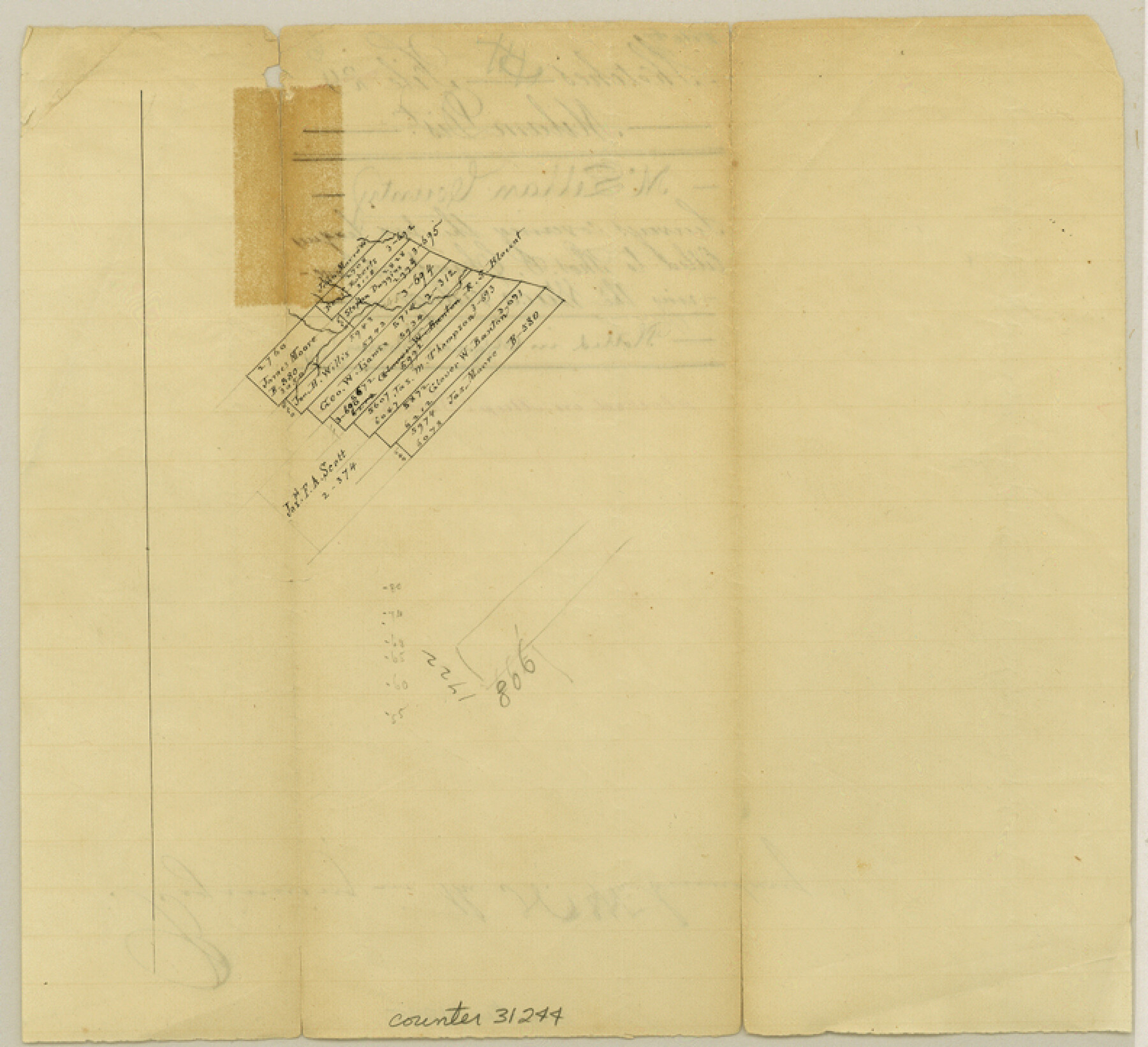
McLennan County Sketch File 6
[Office sketch showing surveys covering the two leagues titled to Thos. J. Chambers covering Waco]
-
Map/Doc
31244
-
Collection
General Map Collection
-
Object Dates
2/1850 (Creation Date)
-
Counties
McLennan
-
Subjects
Surveying Sketch File
-
Height x Width
7.2 x 7.9 inches
18.3 x 20.1 cm
-
Medium
paper, manuscript
-
Features
Waco Village
Part of: General Map Collection
Flight Mission No. CRC-3R, Frame 52, Chambers County

Print $20.00
- Digital $50.00
Flight Mission No. CRC-3R, Frame 52, Chambers County
1956
Size 18.7 x 22.3 inches
Map/Doc 89041
Rockwall County Sketch File 5

Print $6.00
Rockwall County Sketch File 5
1861
Size 13.0 x 8.3 inches
Map/Doc 35422
Nueces County NRC Article 33.136 Sketch 15

Print $40.00
- Digital $50.00
Nueces County NRC Article 33.136 Sketch 15
2012
Size 18.0 x 24.0 inches
Map/Doc 93357
Location of the Southern Kansas Railway of Texas through Hemphill County, Texas

Print $40.00
- Digital $50.00
Location of the Southern Kansas Railway of Texas through Hemphill County, Texas
1887
Size 20.2 x 91.8 inches
Map/Doc 64000
Crockett County Sketch File 54

Print $10.00
- Digital $50.00
Crockett County Sketch File 54
1915
Size 11.3 x 8.9 inches
Map/Doc 19824
Flight Mission No. DAG-18K, Frame 71, Matagorda County

Print $20.00
- Digital $50.00
Flight Mission No. DAG-18K, Frame 71, Matagorda County
1952
Size 16.3 x 16.3 inches
Map/Doc 86364
Reeves County Boundary File 1

Print $12.00
- Digital $50.00
Reeves County Boundary File 1
Size 14.1 x 8.5 inches
Map/Doc 58195
Denton County Sketch File 35

Print $14.00
- Digital $50.00
Denton County Sketch File 35
1897
Size 9.5 x 8.8 inches
Map/Doc 20766
Andrews County Rolled Sketch 29

Print $20.00
- Digital $50.00
Andrews County Rolled Sketch 29
1949
Size 36.6 x 16.3 inches
Map/Doc 77173
Webb County Rolled Sketch 53

Print $40.00
- Digital $50.00
Webb County Rolled Sketch 53
1944
Size 84.0 x 32.3 inches
Map/Doc 63914
Red River County Sketch File 24

Print $6.00
- Digital $50.00
Red River County Sketch File 24
1920
Size 11.4 x 8.8 inches
Map/Doc 35158
La Salle County Sketch File 53

Print $8.00
- Digital $50.00
La Salle County Sketch File 53
1992
Size 11.2 x 8.8 inches
Map/Doc 29624
You may also like
Kent County Boundary File 4

Print $20.00
- Digital $50.00
Kent County Boundary File 4
Size 8.8 x 4.6 inches
Map/Doc 55828
DeWitt County Working Sketch 9

Print $20.00
- Digital $50.00
DeWitt County Working Sketch 9
1979
Size 15.7 x 23.4 inches
Map/Doc 68599
Flight Mission No. DQO-3K, Frame 31, Galveston County

Print $20.00
- Digital $50.00
Flight Mission No. DQO-3K, Frame 31, Galveston County
1952
Size 18.9 x 22.5 inches
Map/Doc 85072
Flight Mission No. DQN-2K, Frame 32, Calhoun County

Print $20.00
- Digital $50.00
Flight Mission No. DQN-2K, Frame 32, Calhoun County
1953
Size 18.7 x 22.3 inches
Map/Doc 84239
Jim Wells County Working Sketch 1

Print $20.00
- Digital $50.00
Jim Wells County Working Sketch 1
Size 17.2 x 22.2 inches
Map/Doc 66599
Henderson County Sketch File 22

Print $14.00
- Digital $50.00
Henderson County Sketch File 22
1942
Size 14.2 x 8.9 inches
Map/Doc 26365
Taylor County Sketch File 14

Print $6.00
- Digital $50.00
Taylor County Sketch File 14
1881
Size 12.9 x 8.5 inches
Map/Doc 37802
Webb County Sketch File C

Print $10.00
- Digital $50.00
Webb County Sketch File C
1915
Size 14.4 x 8.8 inches
Map/Doc 39668
Llano County Sketch File 20

Print $4.00
- Digital $50.00
Llano County Sketch File 20
1873
Size 12.6 x 8.2 inches
Map/Doc 30405
Parmer County Sketch File 3

Print $20.00
- Digital $50.00
Parmer County Sketch File 3
1905
Size 17.2 x 14.4 inches
Map/Doc 12153
Flight Mission No. DQN-1K, Frame 27, Calhoun County

Print $20.00
- Digital $50.00
Flight Mission No. DQN-1K, Frame 27, Calhoun County
1953
Size 18.5 x 22.1 inches
Map/Doc 84132
Taylor County Sketch File 8

Print $16.00
- Digital $50.00
Taylor County Sketch File 8
1879
Size 13.9 x 8.7 inches
Map/Doc 37784