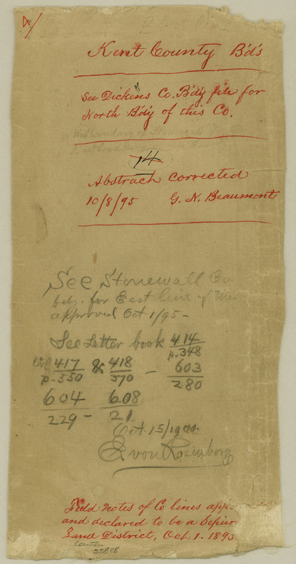
Kent County Boundary File 4
[Court Order and Surveyor's Report on Kent Boundary lines, and Fieldnotes of South Boundary line of Kent County]
-
Map/Doc
55828
-
Collection
General Map Collection
-
Counties
Kent
-
Subjects
County Boundaries
-
Height x Width
8.8 x 4.6 inches
22.4 x 11.7 cm
Part of: General Map Collection
Flight Mission No. DQN-7K, Frame 7, Calhoun County

Print $20.00
- Digital $50.00
Flight Mission No. DQN-7K, Frame 7, Calhoun County
1953
Size 18.5 x 22.2 inches
Map/Doc 84458
Archer County Working Sketch 3

Print $20.00
- Digital $50.00
Archer County Working Sketch 3
1913
Size 19.8 x 12.3 inches
Map/Doc 67143
Harris County Sketch File 21

Print $4.00
- Digital $50.00
Harris County Sketch File 21
1862
Size 13.1 x 8.2 inches
Map/Doc 25373
Hardeman County Sketch File 9

Print $20.00
- Digital $50.00
Hardeman County Sketch File 9
1884
Size 27.7 x 30.1 inches
Map/Doc 11624
Bowie County Working Sketch 15

Print $20.00
- Digital $50.00
Bowie County Working Sketch 15
1960
Size 34.5 x 25.8 inches
Map/Doc 67419
Freestone County Working Sketch 19

Print $20.00
- Digital $50.00
Freestone County Working Sketch 19
1980
Size 39.3 x 44.4 inches
Map/Doc 69261
Live Oak County Working Sketch 17

Print $20.00
- Digital $50.00
Live Oak County Working Sketch 17
1960
Size 29.5 x 26.9 inches
Map/Doc 70602
Kendall County Sketch File 4

Print $4.00
- Digital $50.00
Kendall County Sketch File 4
Size 7.8 x 8.6 inches
Map/Doc 28684
Somervell County Rolled Sketch D

Print $20.00
- Digital $50.00
Somervell County Rolled Sketch D
1939
Size 17.3 x 21.0 inches
Map/Doc 7794
Rio Grande, Hargill Sheet

Print $20.00
- Digital $50.00
Rio Grande, Hargill Sheet
1935
Size 37.1 x 38.1 inches
Map/Doc 65121
Jefferson County Sketch File 46

Print $20.00
- Digital $50.00
Jefferson County Sketch File 46
1933
Size 20.8 x 31.2 inches
Map/Doc 11880
Cooke County Sketch File 13

Print $20.00
- Digital $50.00
Cooke County Sketch File 13
1859
Size 27.1 x 19.0 inches
Map/Doc 11171
You may also like
[Strip map showing F. W. & D. C. RR. line from New Mexico border to Dallam-Hartley County Line]
![93147, [Strip map showing F. W. & D. C. RR. line from New Mexico border to Dallam-Hartley County Line], Twichell Survey Records](https://historictexasmaps.com/wmedia_w700/maps/93147-1.tif.jpg)
Print $40.00
- Digital $50.00
[Strip map showing F. W. & D. C. RR. line from New Mexico border to Dallam-Hartley County Line]
Size 105.5 x 20.9 inches
Map/Doc 93147
Sketch Showing all that Portion of Block 24 North of Santa Fe R. R. Right-of-Way in Original Town of Lubbock

Print $20.00
- Digital $50.00
Sketch Showing all that Portion of Block 24 North of Santa Fe R. R. Right-of-Way in Original Town of Lubbock
1925
Size 26.9 x 34.4 inches
Map/Doc 92809
Reeves County Working Sketch 12

Print $20.00
- Digital $50.00
Reeves County Working Sketch 12
1958
Size 34.2 x 24.5 inches
Map/Doc 63455
Garza County Sketch File 2

Print $20.00
- Digital $50.00
Garza County Sketch File 2
Size 33.1 x 30.3 inches
Map/Doc 10462
Nueces County Rolled Sketch 100

Print $20.00
- Digital $50.00
Nueces County Rolled Sketch 100
Size 21.3 x 32.7 inches
Map/Doc 10697
Duval County Sketch File 35c

Print $6.00
- Digital $50.00
Duval County Sketch File 35c
1935
Size 14.5 x 8.8 inches
Map/Doc 21377
Ector County Working Sketch 23

Print $40.00
- Digital $50.00
Ector County Working Sketch 23
1961
Size 55.9 x 43.3 inches
Map/Doc 68866
Flight Mission No. BQR-14K, Frame 36, Brazoria County

Print $20.00
- Digital $50.00
Flight Mission No. BQR-14K, Frame 36, Brazoria County
1952
Size 18.6 x 22.3 inches
Map/Doc 84093
Motley County Sketch File E (S)

Print $52.00
- Digital $50.00
Motley County Sketch File E (S)
Size 14.6 x 9.0 inches
Map/Doc 32169
[H. & G. N. Block 1 resurvey]
![90951, [H. & G. N. Block 1 resurvey], Twichell Survey Records](https://historictexasmaps.com/wmedia_w700/maps/90951-1.tif.jpg)
Print $20.00
- Digital $50.00
[H. & G. N. Block 1 resurvey]
1902
Size 14.7 x 17.2 inches
Map/Doc 90951
Jones County Sketch File 18

Print $6.00
- Digital $50.00
Jones County Sketch File 18
1981
Size 13.9 x 11.0 inches
Map/Doc 28514
Atascosa County Sketch File 37

Print $40.00
- Digital $50.00
Atascosa County Sketch File 37
Size 17.6 x 12.9 inches
Map/Doc 13829