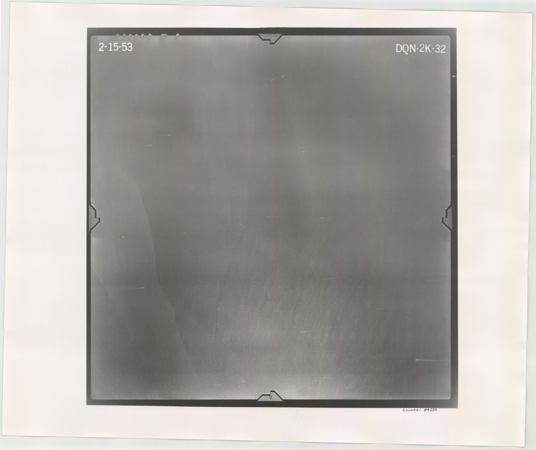
Flight Mission No. DQN-2K, Frame 32, Calhoun County
DQN-2K-32
-
Map/Doc
84239
-
Collection
General Map Collection
-
Object Dates
1953/2/15 (Creation Date)
-
People and Organizations
U. S. Department of Agriculture (Publisher)
-
Counties
Calhoun
-
Subjects
Aerial Photograph
-
Height x Width
18.7 x 22.3 inches
47.5 x 56.6 cm
-
Comments
Flown by Aero Exploration Company of Tulsa, Oklahoma.
Part of: General Map Collection
Cuadro Geografico y Estadistico

Print $20.00
- Digital $50.00
Cuadro Geografico y Estadistico
Size 23.1 x 30.9 inches
Map/Doc 96982
Wichita County Sketch File 25

Print $20.00
- Digital $50.00
Wichita County Sketch File 25
1919
Size 17.6 x 22.3 inches
Map/Doc 12685
Parker County Sketch File D

Print $4.00
- Digital $50.00
Parker County Sketch File D
Size 9.9 x 8.2 inches
Map/Doc 33514
Amistad International Reservoir on Rio Grande 67

Print $20.00
- Digital $50.00
Amistad International Reservoir on Rio Grande 67
1949
Size 28.3 x 39.5 inches
Map/Doc 73352
Wilbarger County Working Sketch 3

Print $20.00
- Digital $50.00
Wilbarger County Working Sketch 3
1923
Size 22.0 x 23.9 inches
Map/Doc 72541
Harris County Historic Topographic 10

Print $20.00
- Digital $50.00
Harris County Historic Topographic 10
1916
Size 30.2 x 22.9 inches
Map/Doc 65820
Map of Texas Gulf Coast and Continental Shelf showing Natural Gas Pipe Lines

Print $40.00
- Digital $50.00
Map of Texas Gulf Coast and Continental Shelf showing Natural Gas Pipe Lines
1979
Size 40.9 x 59.3 inches
Map/Doc 75905
Rockwall County Boundary File 4

Print $6.00
- Digital $50.00
Rockwall County Boundary File 4
Size 10.9 x 8.4 inches
Map/Doc 58396
Kinney County Rolled Sketch 3

Print $20.00
- Digital $50.00
Kinney County Rolled Sketch 3
Size 31.4 x 23.2 inches
Map/Doc 6535
Flight Mission No. CGI-3N, Frame 184, Cameron County

Print $20.00
- Digital $50.00
Flight Mission No. CGI-3N, Frame 184, Cameron County
1954
Size 18.5 x 22.3 inches
Map/Doc 84648
Maps of Gulf Intracoastal Waterway, Texas - Sabine River to the Rio Grande and connecting waterways including ship channels

Print $20.00
- Digital $50.00
Maps of Gulf Intracoastal Waterway, Texas - Sabine River to the Rio Grande and connecting waterways including ship channels
1966
Size 14.5 x 22.3 inches
Map/Doc 61921
Flight Mission No. CUG-1P, Frame 84, Kleberg County

Print $20.00
- Digital $50.00
Flight Mission No. CUG-1P, Frame 84, Kleberg County
1956
Size 18.4 x 22.3 inches
Map/Doc 86149
You may also like
Newton County Working Sketch 11

Print $20.00
- Digital $50.00
Newton County Working Sketch 11
1941
Size 22.7 x 23.5 inches
Map/Doc 71257
Map of Washington County

Print $20.00
- Digital $50.00
Map of Washington County
1841
Size 28.5 x 29.0 inches
Map/Doc 4122
Hamilton County Sketch File 9

Print $6.00
- Digital $50.00
Hamilton County Sketch File 9
1874
Size 12.1 x 8.2 inches
Map/Doc 24916
Matagorda County Sketch File 42a

Print $18.00
- Digital $50.00
Matagorda County Sketch File 42a
1914
Size 11.2 x 8.6 inches
Map/Doc 30853
Comanche County Working Sketch 19

Print $20.00
- Digital $50.00
Comanche County Working Sketch 19
1973
Size 28.9 x 40.3 inches
Map/Doc 68153
[Maps of surveys in Reeves & Culberson Cos]
![61138, [Maps of surveys in Reeves & Culberson Cos], General Map Collection](https://historictexasmaps.com/wmedia_w700/maps/61138.tif.jpg)
Print $20.00
- Digital $50.00
[Maps of surveys in Reeves & Culberson Cos]
1937
Size 30.6 x 25.0 inches
Map/Doc 61138
Topographical Map of the country between San Antonio & Colorado Rivers in the State of Texas.

Print $40.00
Topographical Map of the country between San Antonio & Colorado Rivers in the State of Texas.
1864
Size 53.4 x 69.8 inches
Map/Doc 88605
Stephens County Sketch File 24

Print $5.00
- Digital $50.00
Stephens County Sketch File 24
1952
Size 24.5 x 32.5 inches
Map/Doc 12354
General Highway Map, Jasper County, Newton County, Texas

Print $20.00
General Highway Map, Jasper County, Newton County, Texas
1940
Size 18.6 x 25.2 inches
Map/Doc 79142
Hartley County Sketch File 16

Print $4.00
- Digital $50.00
Hartley County Sketch File 16
Size 11.1 x 7.1 inches
Map/Doc 26113
Jim Wells County Working Sketch 7

Print $20.00
- Digital $50.00
Jim Wells County Working Sketch 7
1944
Size 26.2 x 29.3 inches
Map/Doc 66605
[Section 34, Block 194 G. C. & S. F.]
![91672, [Section 34, Block 194 G. C. & S. F.], Twichell Survey Records](https://historictexasmaps.com/wmedia_w700/maps/91672-1.tif.jpg)
Print $2.00
- Digital $50.00
[Section 34, Block 194 G. C. & S. F.]
1927
Size 7.5 x 5.9 inches
Map/Doc 91672