[Surveys in Milam's Colony between the Colorado River and northwest of the San Antonio Road]
Atlas A, Sketch 5 (A-5)
A-5
-
Map/Doc
29
-
Collection
General Map Collection
-
People and Organizations
[Sims] (Author)
-
Counties
Bastrop Travis Caldwell
-
Subjects
Atlas
-
Height x Width
22.0 x 27.4 inches
55.9 x 69.6 cm
-
Medium
paper, manuscript
-
Scale
1" = 2000 varas
-
Comments
Conserved in 2004.
-
Features
Onion Creek
Austin's Colony
Cedar Creek
Burro or Garrapalos Creek
Burro Creek
Garrapalos Creek
Denales Bend [River]
Mina
Defeated Creek
San Antonio Road
Part of: General Map Collection
Tarrant County Working Sketch 26


Print $20.00
- Digital $50.00
Tarrant County Working Sketch 26
2004
Size 27.1 x 43.9 inches
Map/Doc 83586
Flight Mission No. CRC-4R, Frame 179, Chambers County

Print $20.00
- Digital $50.00
Flight Mission No. CRC-4R, Frame 179, Chambers County
1956
Size 18.6 x 22.3 inches
Map/Doc 84930
Hays County Sketch File 29

Print $20.00
- Digital $50.00
Hays County Sketch File 29
1938
Size 21.3 x 31.7 inches
Map/Doc 11751
Galveston County Working Sketch 5

Print $20.00
- Digital $50.00
Galveston County Working Sketch 5
1934
Size 41.2 x 41.0 inches
Map/Doc 69342
Hall County Working Sketch 7

Print $20.00
- Digital $50.00
Hall County Working Sketch 7
1955
Size 31.6 x 18.2 inches
Map/Doc 63335
Ellis County Working Sketch 3


Print $40.00
- Digital $50.00
Ellis County Working Sketch 3
1981
Size 39.1 x 50.0 inches
Map/Doc 69019
Frio County Sketch File 21
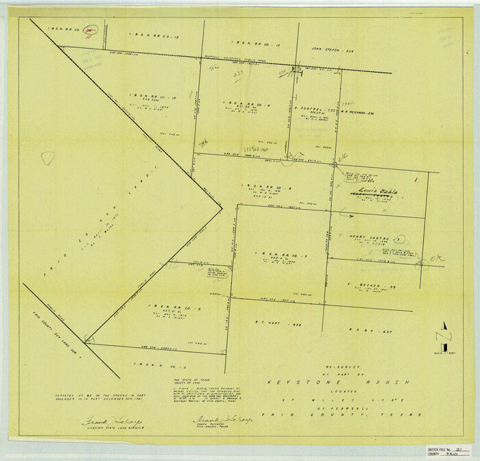

Print $20.00
- Digital $50.00
Frio County Sketch File 21
1938
Size 23.4 x 24.3 inches
Map/Doc 11520
Ellis County Sketch File 13
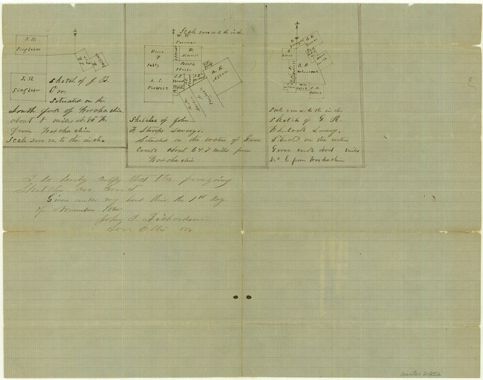

Print $40.00
- Digital $50.00
Ellis County Sketch File 13
1860
Size 12.6 x 16.0 inches
Map/Doc 21852
Flight Mission No. CRK-5P, Frame 155, Refugio County
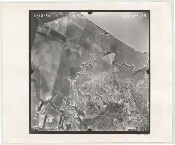

Print $20.00
- Digital $50.00
Flight Mission No. CRK-5P, Frame 155, Refugio County
1956
Size 18.7 x 22.6 inches
Map/Doc 86936
Hopkins County Sketch File 6
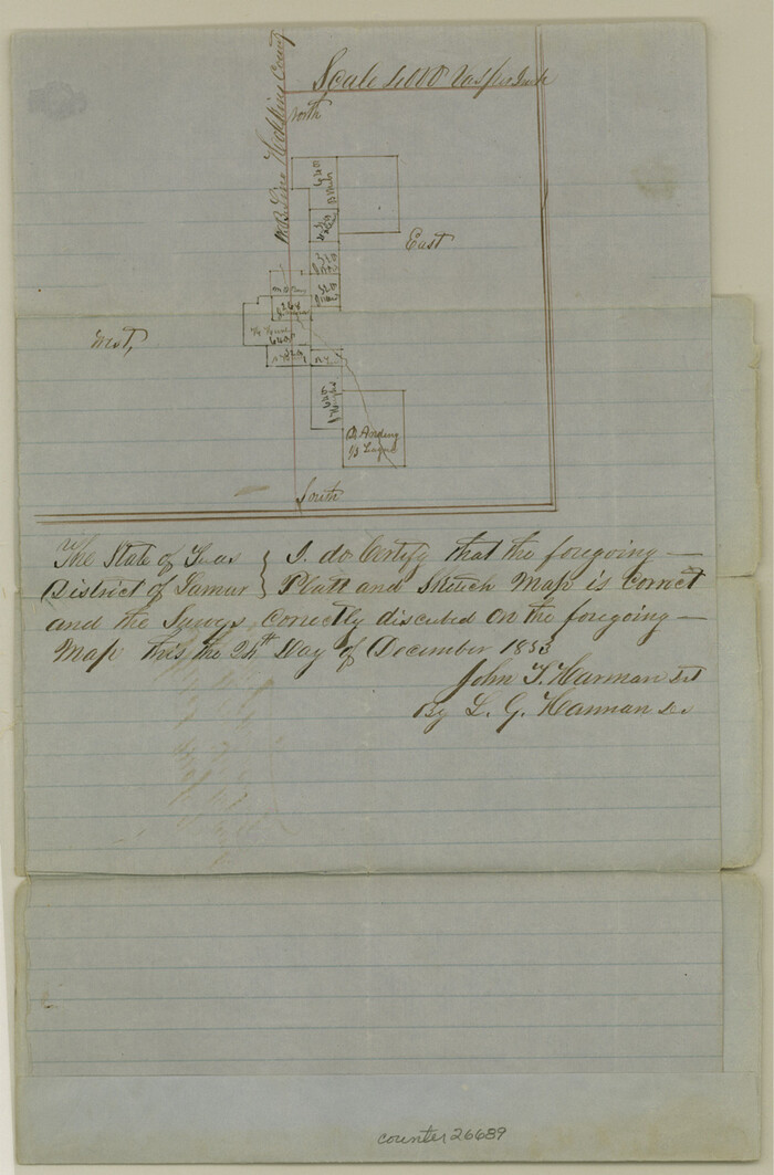

Print $7.00
- Digital $50.00
Hopkins County Sketch File 6
1853
Size 12.4 x 8.1 inches
Map/Doc 26689
Reagan County
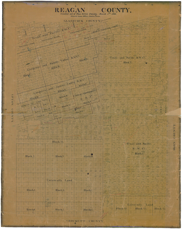

Print $20.00
- Digital $50.00
Reagan County
1903
Size 45.6 x 36.2 inches
Map/Doc 16794
Pecos County Working Sketch 23
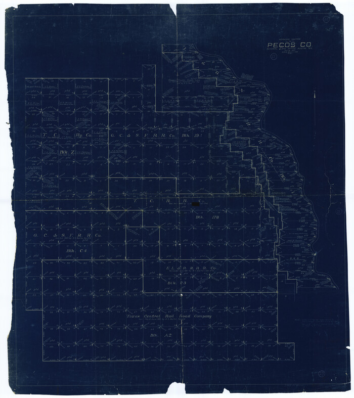

Print $20.00
- Digital $50.00
Pecos County Working Sketch 23
1927
Size 45.6 x 40.6 inches
Map/Doc 71494
You may also like
Map of Great Britain and Ireland engraved to illustrate Mitchell's school and family geography
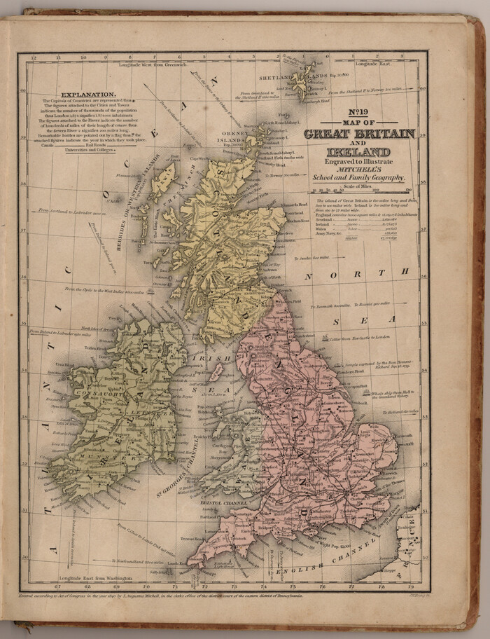

Print $20.00
- Digital $50.00
Map of Great Britain and Ireland engraved to illustrate Mitchell's school and family geography
1840
Size 11.8 x 9.5 inches
Map/Doc 93503
Edwards County Working Sketch 120


Print $40.00
- Digital $50.00
Edwards County Working Sketch 120
1975
Size 25.0 x 48.9 inches
Map/Doc 68996
Harris County Working Sketch 48
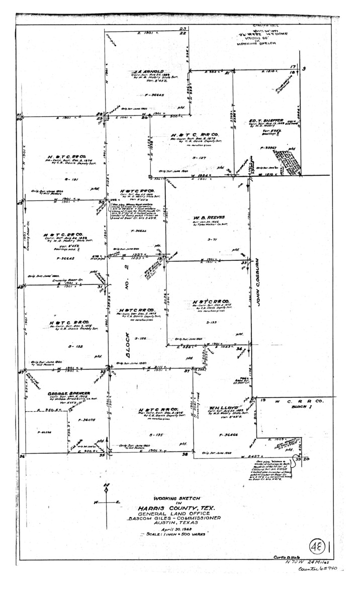

Print $20.00
- Digital $50.00
Harris County Working Sketch 48
1943
Size 26.8 x 16.0 inches
Map/Doc 65940
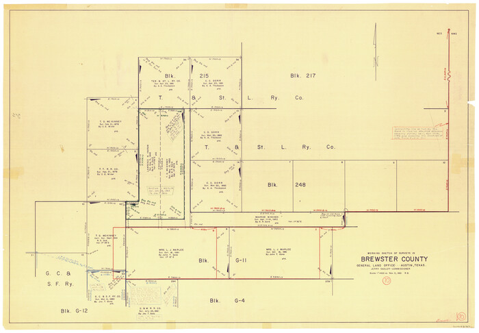
Brewster County Working Sketch 70

Print $20.00
- Digital $50.00
Brewster County Working Sketch 70
1961
Size 30.5 x 44.0 inches
Map/Doc 67671
[Block B and surrounding areas]
![90331, [Block B and surrounding areas], Twichell Survey Records](https://historictexasmaps.com/wmedia_w700/maps/90331-1.tif.jpg)
![90331, [Block B and surrounding areas], Twichell Survey Records](https://historictexasmaps.com/wmedia_w700/maps/90331-1.tif.jpg)
Print $20.00
- Digital $50.00
[Block B and surrounding areas]
Size 20.3 x 20.3 inches
Map/Doc 90331
Flight Mission No. BRA-16M, Frame 179, Jefferson County


Print $20.00
- Digital $50.00
Flight Mission No. BRA-16M, Frame 179, Jefferson County
1953
Size 18.7 x 22.2 inches
Map/Doc 85777
Lubbock County Sketch File 11


Print $20.00
- Digital $50.00
Lubbock County Sketch File 11
1914
Size 19.4 x 18.5 inches
Map/Doc 4585
Edwards County Sketch File 32

Print $40.00
- Digital $50.00
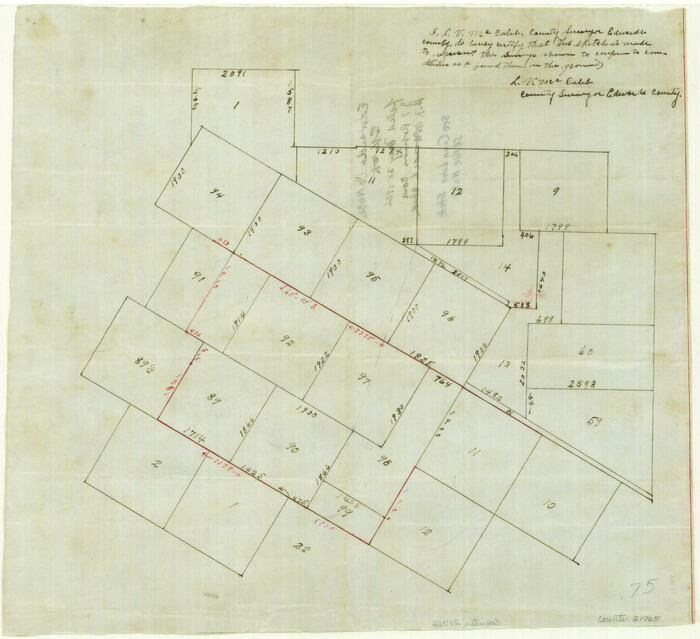
Edwards County Sketch File 32
1926
Size 13.1 x 14.4 inches
Map/Doc 21765
Leon County Sketch File 7

Print $6.00
- Digital $50.00
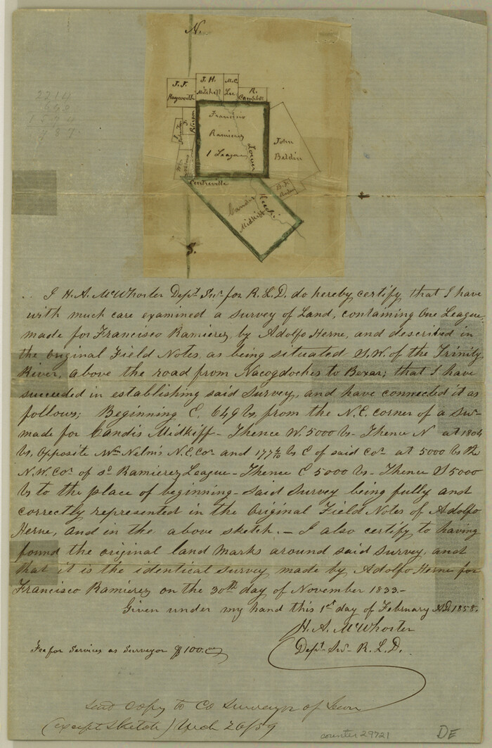
Leon County Sketch File 7
1858
Size 12.4 x 8.2 inches
Map/Doc 29721
Cass County Working Sketch 41

Print $20.00
- Digital $50.00
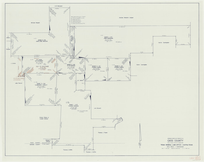
Cass County Working Sketch 41
1985
Size 34.0 x 42.7 inches
Map/Doc 67944
Hemphill County


Print $20.00
- Digital $50.00
Hemphill County
1932
Size 39.5 x 37.5 inches
Map/Doc 77309
Pecos County Working Sketch 70
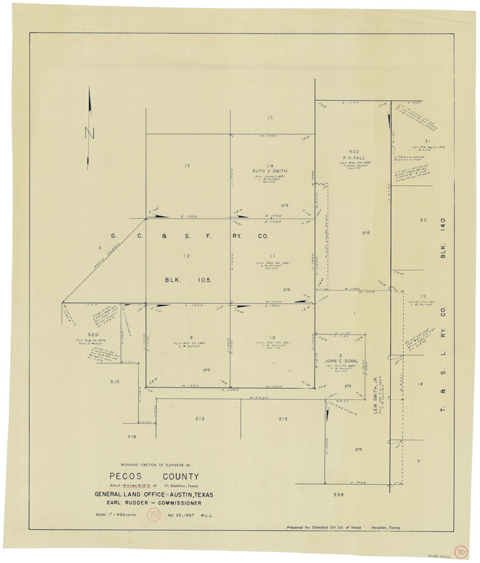

Print $20.00
- Digital $50.00
Pecos County Working Sketch 70
1957
Size 31.4 x 27.0 inches
Map/Doc 71542
![29, [Surveys in Milam's Colony between the Colorado River and northwest of the San Antonio Road], General Map Collection](https://historictexasmaps.com/wmedia_w1800h1800/maps/29-1.tif.jpg)