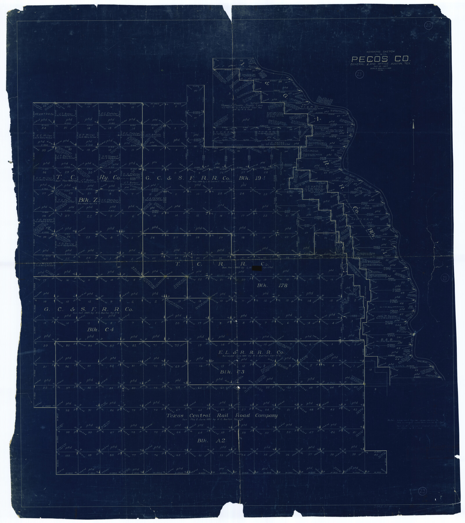
Pecos County Working Sketch 23
-
Map/Doc
71494
-
Collection
General Map Collection
-
Object Dates
10/18/1927 (Creation Date)
-
People and Organizations
J. Bascom Giles (Draftsman)
-
Counties
Pecos
-
Subjects
Surveying Working Sketch
-
Height x Width
45.6 x 40.6 inches
115.8 x 103.1 cm
-
Scale
1" = 1000 varas
Part of: General Map Collection
North Sulphur River, Sims Crossing Sheet

Print $20.00
- Digital $50.00
North Sulphur River, Sims Crossing Sheet
1924
Size 12.4 x 25.1 inches
Map/Doc 78335
El Paso County Rolled Sketch 52

Print $20.00
- Digital $50.00
El Paso County Rolled Sketch 52
1930
Size 18.5 x 24.4 inches
Map/Doc 5837
San Jacinto County

Print $40.00
- Digital $50.00
San Jacinto County
1942
Size 49.7 x 44.1 inches
Map/Doc 95633
Bailey County Rolled Sketch RSH

Print $20.00
- Digital $50.00
Bailey County Rolled Sketch RSH
1907
Size 34.3 x 23.3 inches
Map/Doc 5112
Louisiana and Texas Intracoastal Waterway, Section 7, Galveston Bay to Brazos River and Section 8, Brazos River to Matagorda Bay

Print $20.00
- Digital $50.00
Louisiana and Texas Intracoastal Waterway, Section 7, Galveston Bay to Brazos River and Section 8, Brazos River to Matagorda Bay
1928
Size 31.3 x 42.7 inches
Map/Doc 73063
Wise County Working Sketch 11

Print $20.00
- Digital $50.00
Wise County Working Sketch 11
1958
Size 18.5 x 30.6 inches
Map/Doc 72625
King County Boundary File 2

Print $54.00
- Digital $50.00
King County Boundary File 2
Size 8.8 x 7.7 inches
Map/Doc 64887
[Gulf Coast of Texas]
![72702, [Gulf Coast of Texas], General Map Collection](https://historictexasmaps.com/wmedia_w700/maps/72702.tif.jpg)
Print $20.00
- Digital $50.00
[Gulf Coast of Texas]
1881
Size 28.6 x 18.2 inches
Map/Doc 72702
Cass County Working Sketch 38

Print $20.00
- Digital $50.00
Cass County Working Sketch 38
1982
Size 19.2 x 21.0 inches
Map/Doc 67941
Schleicher Co.

Print $20.00
- Digital $50.00
Schleicher Co.
1893
Size 20.8 x 29.3 inches
Map/Doc 63025


You may also like
Flight Mission No. CRE-2R, Frame 161, Jackson County

Print $20.00
- Digital $50.00
Flight Mission No. CRE-2R, Frame 161, Jackson County
1956
Size 18.5 x 22.1 inches
Map/Doc 85372
Map of the Woodbine Artesian Reservoirs of the Black and Grand Prairies of Texas including the eastern and western Cross Timbers

Print $20.00
- Digital $50.00
Map of the Woodbine Artesian Reservoirs of the Black and Grand Prairies of Texas including the eastern and western Cross Timbers
1900
Size 22.8 x 17.8 inches
Map/Doc 75918
Flight Mission No. DCL-7C, Frame 60, Kenedy County

Print $20.00
- Digital $50.00
Flight Mission No. DCL-7C, Frame 60, Kenedy County
1943
Size 15.3 x 15.3 inches
Map/Doc 86048
Zapata County Working Sketch 5

Print $20.00
- Digital $50.00
Zapata County Working Sketch 5
1940
Size 23.4 x 18.3 inches
Map/Doc 62056
Motley County Sketch File 22 (N)

Print $34.00
- Digital $50.00
Motley County Sketch File 22 (N)
1887
Size 8.2 x 8.4 inches
Map/Doc 32069
![89627, [Blks. 46 & 47], Twichell Survey Records](https://historictexasmaps.com/wmedia_w700/maps/89627-1.tif.jpg)
[Map of California and Nevada]
![96620, [Map of California and Nevada], Cobb Digital Map Collection](https://historictexasmaps.com/wmedia_w700/maps/96620.tif.jpg)
Print $20.00
- Digital $50.00
[Map of California and Nevada]
1869
Size 9.1 x 10.6 inches
Map/Doc 96620
Briscoe County Sketch File 16

Print $4.00
- Digital $50.00
Briscoe County Sketch File 16
1913
Size 13.4 x 9.1 inches
Map/Doc 16535
Anderson County Working Sketch 23

Print $20.00
- Digital $50.00
Anderson County Working Sketch 23
1958
Size 23.1 x 24.8 inches
Map/Doc 67023
Liberty County Sketch File 63

Print $138.00
- Digital $50.00
Liberty County Sketch File 63
1983
Size 11.1 x 8.8 inches
Map/Doc 30087
Phelps & Ensign's Travellers' Guide, and Map of the United States containing the roads, distances, steam boat and canal routes & c.

Print $20.00
- Digital $50.00
Phelps & Ensign's Travellers' Guide, and Map of the United States containing the roads, distances, steam boat and canal routes & c.
1841
Size 28.8 x 33.9 inches
Map/Doc 96875
Kimble County Working Sketch 54

Print $20.00
- Digital $50.00
Kimble County Working Sketch 54
1954
Size 32.3 x 23.1 inches
Map/Doc 70122