Ellis County Working Sketch 3
-
Map/Doc
69019
-
Collection
General Map Collection
-
Object Dates
2/19/1981 (Creation Date)
-
People and Organizations
Joan Kilpatrick (Draftsman)
-
Counties
Ellis
-
Subjects
Surveying Working Sketch
-
Height x Width
39.1 x 50.0 inches
99.3 x 127.0 cm
-
Scale
1" = 300 varas
Part of: General Map Collection
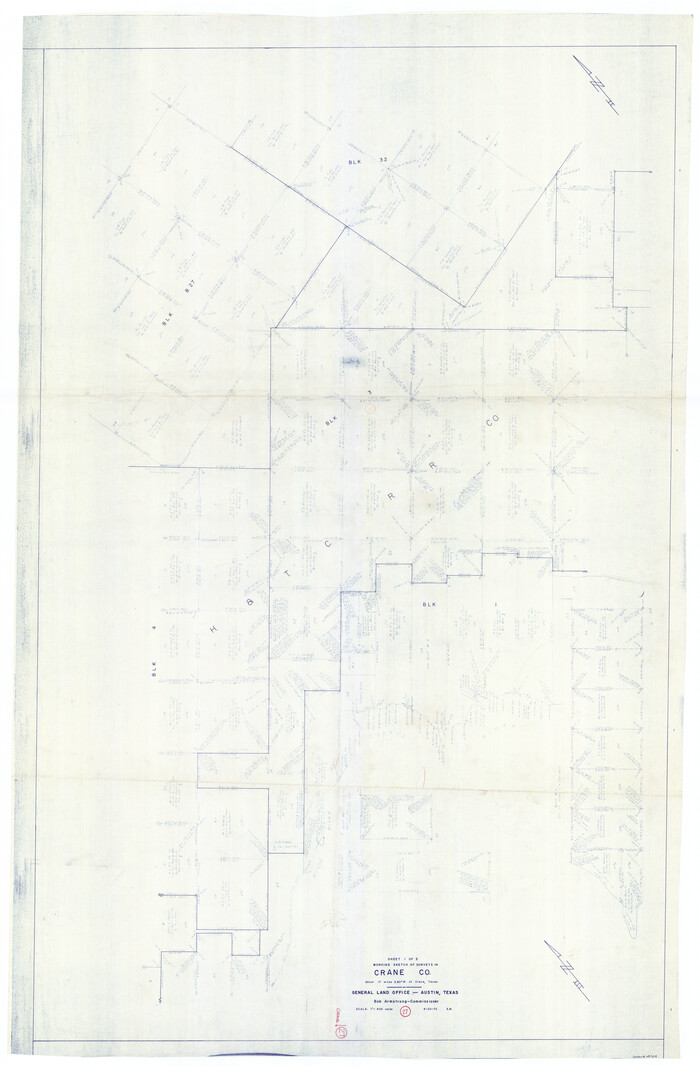
Crane County Working Sketch 27

Print $40.00
- Digital $50.00
Crane County Working Sketch 27
1972
Size 71.9 x 47.1 inches
Map/Doc 68304
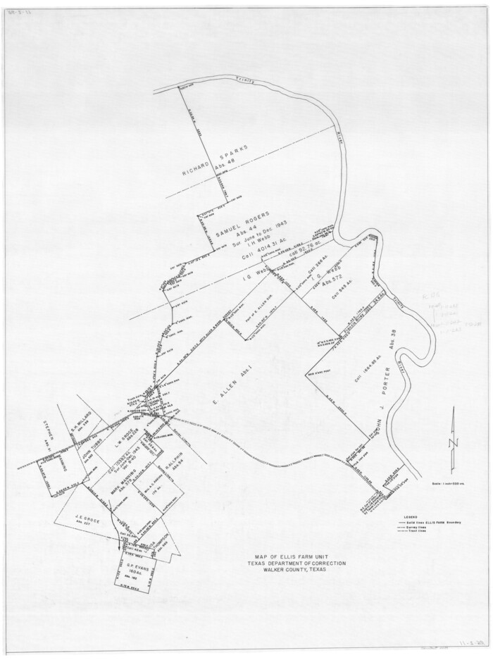
Map of Ellis Farm Unit, Texas Department of Corrections, Walker County, Texas

Print $20.00
- Digital $50.00
Map of Ellis Farm Unit, Texas Department of Corrections, Walker County, Texas
Size 36.3 x 27.1 inches
Map/Doc 2284
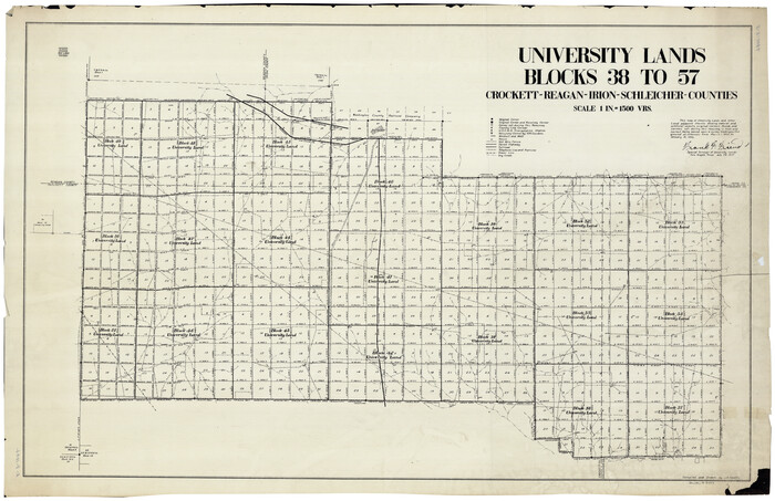
University Lands Blocks 38 to 57, Crockett-Reagan-Irion-Schleicher-Counties

Print $40.00
- Digital $50.00
University Lands Blocks 38 to 57, Crockett-Reagan-Irion-Schleicher-Counties
1937
Size 34.2 x 52.7 inches
Map/Doc 2444
Flight Mission No. DCL-7C, Frame 143, Kenedy County


Print $20.00
- Digital $50.00
Flight Mission No. DCL-7C, Frame 143, Kenedy County
1943
Size 18.6 x 22.3 inches
Map/Doc 86100
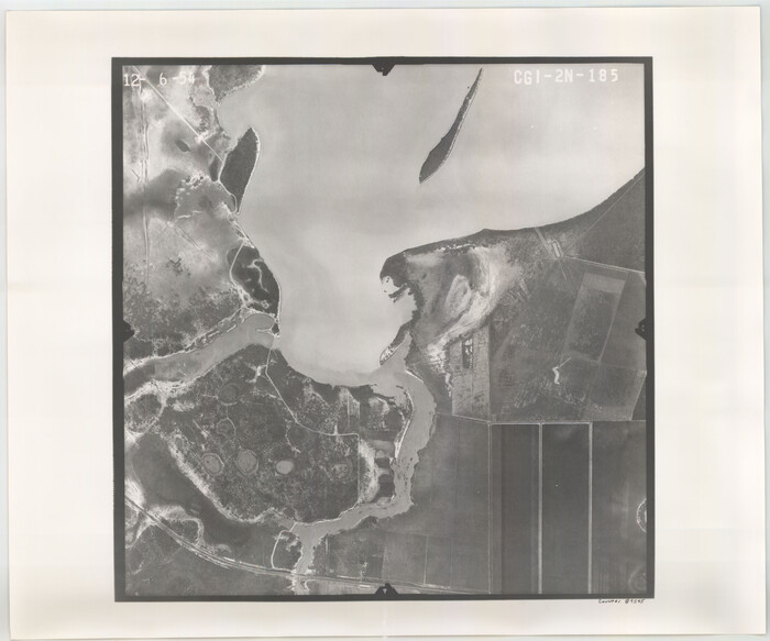
Flight Mission No. CGI-2N, Frame 185, Cameron County

Print $20.00
- Digital $50.00
Flight Mission No. CGI-2N, Frame 185, Cameron County
1954
Size 18.5 x 22.2 inches
Map/Doc 84545
Flight Mission No. CRC-4R, Frame 64, Chambers County
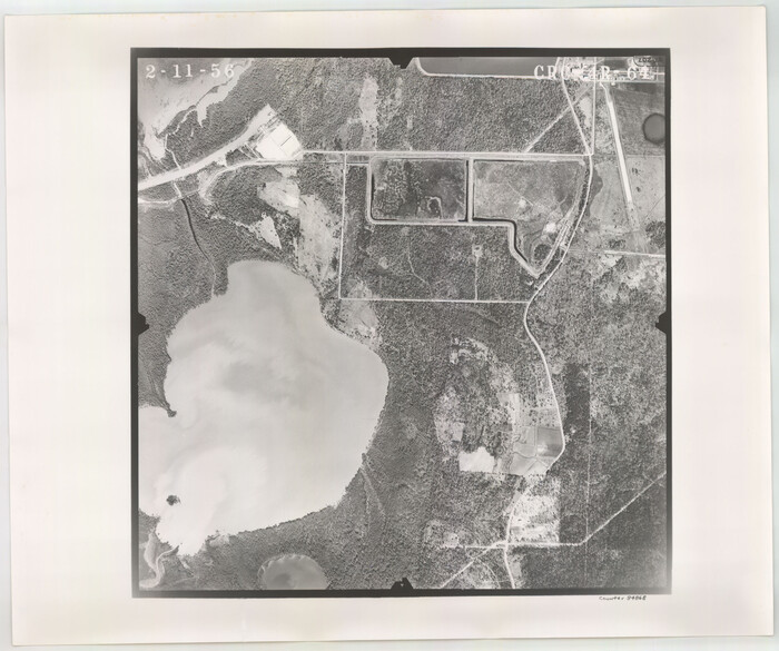

Print $20.00
- Digital $50.00
Flight Mission No. CRC-4R, Frame 64, Chambers County
1956
Size 18.7 x 22.3 inches
Map/Doc 84868
Flight Mission No. DQO-12K, Frame 43, Galveston County
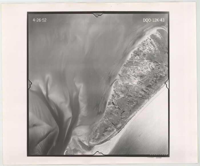

Print $20.00
- Digital $50.00
Flight Mission No. DQO-12K, Frame 43, Galveston County
1952
Size 18.6 x 22.4 inches
Map/Doc 85233
No. 1 - Survey for a road from the Brazo Santiago to the Rio Grande
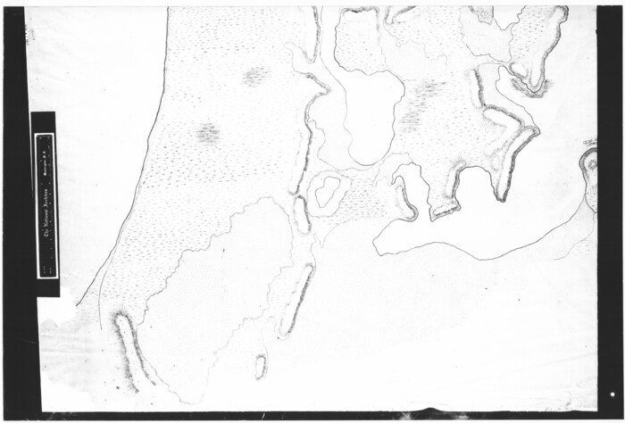

Print $20.00
- Digital $50.00
No. 1 - Survey for a road from the Brazo Santiago to the Rio Grande
1847
Size 18.3 x 27.1 inches
Map/Doc 72876
La Salle County Sketch File 33
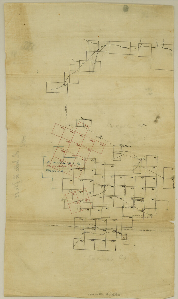

Print $2.00
- Digital $50.00
La Salle County Sketch File 33
1875
Size 13.4 x 8.0 inches
Map/Doc 29584
Presidio County Working Sketch 19


Print $20.00
- Digital $50.00
Presidio County Working Sketch 19
1943
Size 32.9 x 40.3 inches
Map/Doc 71695
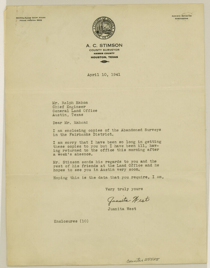
Harris County Sketch File 71a

Print $24.00
- Digital $50.00
Harris County Sketch File 71a
1941
Size 11.4 x 8.9 inches
Map/Doc 25525
You may also like
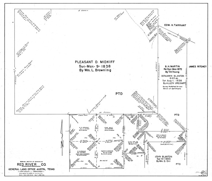
Red River County Working Sketch 45

Print $20.00
- Digital $50.00
Red River County Working Sketch 45
1968
Size 31.6 x 37.1 inches
Map/Doc 72028
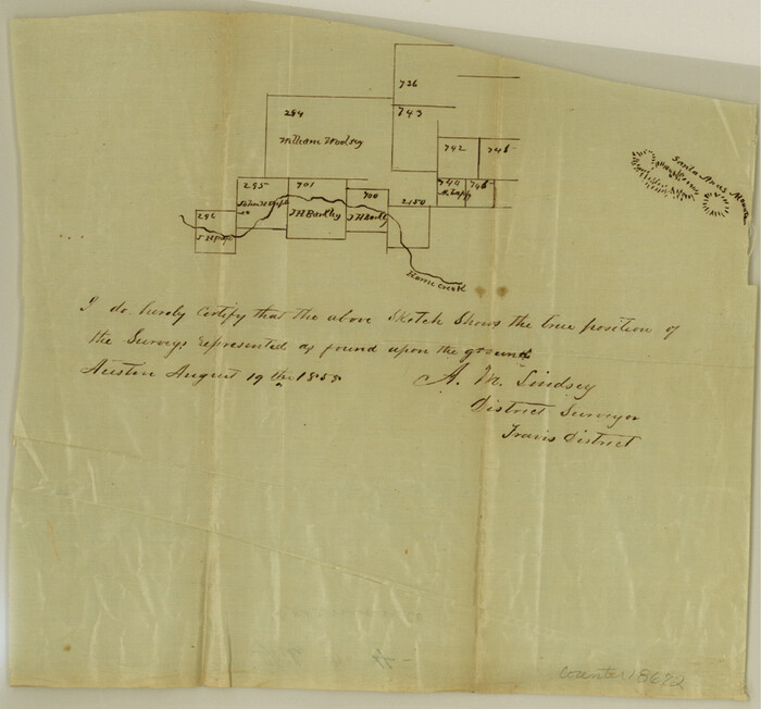
Coleman County Sketch File 4

Print $2.00
- Digital $50.00
Coleman County Sketch File 4
1855
Size 8.2 x 8.8 inches
Map/Doc 18672
Crockett County Working Sketch 74


Print $20.00
- Digital $50.00
Crockett County Working Sketch 74
1964
Size 29.4 x 22.1 inches
Map/Doc 68407
General Highway Map. Detail of Cities and Towns in Trinity County, Texas [Groveton and Trinity and vicinities]
![79689, General Highway Map. Detail of Cities and Towns in Trinity County, Texas [Groveton and Trinity and vicinities], Texas State Library and Archives](https://historictexasmaps.com/wmedia_w700/maps/79689.tif.jpg)
![79689, General Highway Map. Detail of Cities and Towns in Trinity County, Texas [Groveton and Trinity and vicinities], Texas State Library and Archives](https://historictexasmaps.com/wmedia_w700/maps/79689.tif.jpg)
Print $20.00
General Highway Map. Detail of Cities and Towns in Trinity County, Texas [Groveton and Trinity and vicinities]
1961
Size 18.1 x 24.8 inches
Map/Doc 79689
Fractional Township No. 10 South Range No. 24 East of the Indian Meridian, Indian Territory


Print $20.00
- Digital $50.00
Fractional Township No. 10 South Range No. 24 East of the Indian Meridian, Indian Territory
1898
Size 19.1 x 24.2 inches
Map/Doc 75242
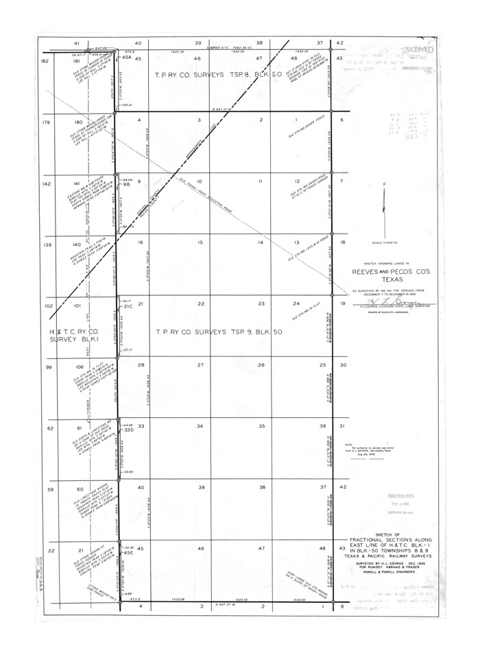
Pecos County Rolled Sketch DK4

Print $20.00
- Digital $50.00
Pecos County Rolled Sketch DK4
Size 41.2 x 30.2 inches
Map/Doc 7309
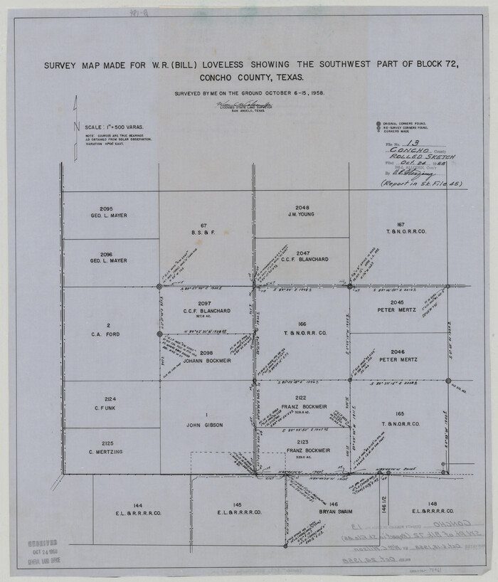
Concho County Rolled Sketch 13

Print $20.00
- Digital $50.00
Concho County Rolled Sketch 13
1958
Size 23.7 x 20.3 inches
Map/Doc 78461
Chambers County Sketch File 21a


Print $2.00
- Digital $50.00
Chambers County Sketch File 21a
1867
Size 10.2 x 6.6 inches
Map/Doc 17593
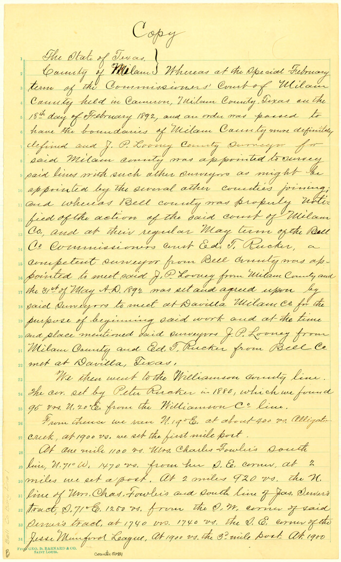
Bell County Boundary File 1

Print $8.00
- Digital $50.00
Bell County Boundary File 1
Size 14.0 x 8.5 inches
Map/Doc 50481
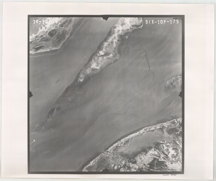
Flight Mission No. DIX-10P, Frame 175, Aransas County

Print $20.00
- Digital $50.00
Flight Mission No. DIX-10P, Frame 175, Aransas County
1956
Size 18.6 x 22.2 inches
Map/Doc 83965
[Letter from T. F. Pinckney to W. D. Twichell accompanying sketch showing Blocks 14, 341, and G5]
![93111, [Letter from T. F. Pinckney to W. D. Twichell accompanying sketch showing Blocks 14, 341, and G5], Twichell Survey Records](https://historictexasmaps.com/wmedia_w700/maps/93111-1.tif.jpg)
![93111, [Letter from T. F. Pinckney to W. D. Twichell accompanying sketch showing Blocks 14, 341, and G5], Twichell Survey Records](https://historictexasmaps.com/wmedia_w700/maps/93111-1.tif.jpg)
Print $2.00
- Digital $50.00
[Letter from T. F. Pinckney to W. D. Twichell accompanying sketch showing Blocks 14, 341, and G5]
Size 15.1 x 7.9 inches
Map/Doc 93111
Flight Mission No. CRC-2R, Frame 62, Chambers County


Print $20.00
- Digital $50.00
Flight Mission No. CRC-2R, Frame 62, Chambers County
1956
Size 18.6 x 22.5 inches
Map/Doc 84733

