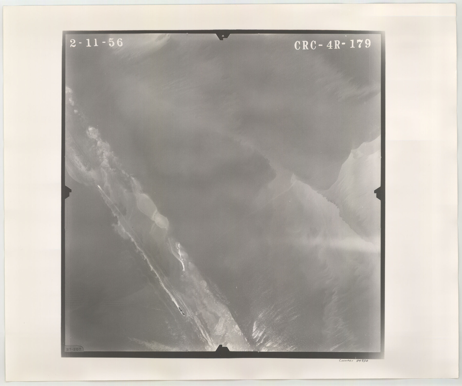
Flight Mission No. CRC-4R, Frame 179, Chambers County
CRC-4R-179
-
Map/Doc
84930
-
Collection
General Map Collection
-
Object Dates
1956/2/11 (Creation Date)
-
People and Organizations
U. S. Department of Agriculture (Publisher)
-
Counties
Chambers
-
Subjects
Aerial Photograph
-
Height x Width
18.6 x 22.3 inches
47.2 x 56.6 cm
-
Comments
Flown by Jack Ammann Photogrammetric Engineers, Inc. of San Antonio, Texas.
Part of: General Map Collection
El Paso County Rolled Sketch 57B

Print $40.00
- Digital $50.00
El Paso County Rolled Sketch 57B
1984
Size 49.0 x 37.1 inches
Map/Doc 8880
Blanco County Sketch File 22

Print $4.00
- Digital $50.00
Blanco County Sketch File 22
1884
Size 8.7 x 15.5 inches
Map/Doc 14604
Caldwell County Sketch File 5

Print $8.00
- Digital $50.00
Caldwell County Sketch File 5
Size 14.1 x 8.6 inches
Map/Doc 35843

Chambers County

Print $20.00
- Digital $50.00
Chambers County
1862
Size 20.2 x 27.8 inches
Map/Doc 3381
Proceedings of the International Boundary Commission, United States and Mexico, American Section, Elimination of Bancos, Treaty of 1905

Proceedings of the International Boundary Commission, United States and Mexico, American Section, Elimination of Bancos, Treaty of 1905
Size 12.4 x 9.6 inches
Map/Doc 83125
Liberty County Sketch File 48

Print $6.00
- Digital $50.00
Liberty County Sketch File 48
1879
Size 12.2 x 8.3 inches
Map/Doc 30010
Harris County Sketch File 68

Print $20.00
- Digital $50.00
Harris County Sketch File 68
1939
Size 22.9 x 10.6 inches
Map/Doc 11662
United States - Gulf Coast - From Latitude 26° 33' to the Rio Grande Texas

Print $20.00
- Digital $50.00
United States - Gulf Coast - From Latitude 26° 33' to the Rio Grande Texas
1918
Size 27.6 x 18.1 inches
Map/Doc 72849
Eastland County Sketch File 14

Print $8.00
- Digital $50.00
Eastland County Sketch File 14
Size 11.5 x 9.2 inches
Map/Doc 21595
Map of Anderson County

Print $20.00
- Digital $50.00
Map of Anderson County
1855
Size 23.7 x 28.9 inches
Map/Doc 3225
Coke County Sketch File 31

Print $4.00
- Digital $50.00
Coke County Sketch File 31
Size 14.1 x 8.8 inches
Map/Doc 18643
You may also like
Tyler County Working Sketch 17

Print $20.00
- Digital $50.00
Tyler County Working Sketch 17
1962
Size 33.1 x 38.9 inches
Map/Doc 69487
Map of Fisher and Miller's Colony made from the records in the Office of the District Surveyor of Bexar comprising also all the recent surveys

Print $20.00
- Digital $50.00
Map of Fisher and Miller's Colony made from the records in the Office of the District Surveyor of Bexar comprising also all the recent surveys
1855
Size 23.7 x 35.2 inches
Map/Doc 1971
Corpus Christi Bay in Nueces County, showing Subdivision for Mineral Development

Print $40.00
- Digital $50.00
Corpus Christi Bay in Nueces County, showing Subdivision for Mineral Development
1950
Size 48.4 x 36.0 inches
Map/Doc 1917
L. A. Wells Subdivision of Sections 6-11-12-13-18, Block V, Cochran County, Tex.

Print $2.00
- Digital $50.00
L. A. Wells Subdivision of Sections 6-11-12-13-18, Block V, Cochran County, Tex.
Size 6.7 x 8.4 inches
Map/Doc 90441
Flight Mission No. CUG-2P, Frame 64, Kleberg County

Print $20.00
- Digital $50.00
Flight Mission No. CUG-2P, Frame 64, Kleberg County
1956
Size 18.4 x 22.2 inches
Map/Doc 86201
Houston County Sketch File 39

Print $6.00
- Digital $50.00
Houston County Sketch File 39
1845
Size 17.0 x 10.9 inches
Map/Doc 26824

Coke County Rolled Sketch 19

Print $20.00
- Digital $50.00
Coke County Rolled Sketch 19
1954
Size 18.5 x 25.8 inches
Map/Doc 5519
Burnet County Sketch File 21

Print $4.00
- Digital $50.00
Burnet County Sketch File 21
Size 8.4 x 6.6 inches
Map/Doc 16714
Flight Mission No. DCL-6C, Frame 93, Kenedy County

Print $20.00
- Digital $50.00
Flight Mission No. DCL-6C, Frame 93, Kenedy County
1943
Size 18.6 x 22.3 inches
Map/Doc 85923
Rockwall County

Print $20.00
- Digital $50.00
Rockwall County
1941
Size 26.0 x 21.3 inches
Map/Doc 77410
Pecos County Working Sketch 17

Print $20.00
- Digital $50.00
Pecos County Working Sketch 17
1915
Size 32.5 x 23.0 inches
Map/Doc 71487