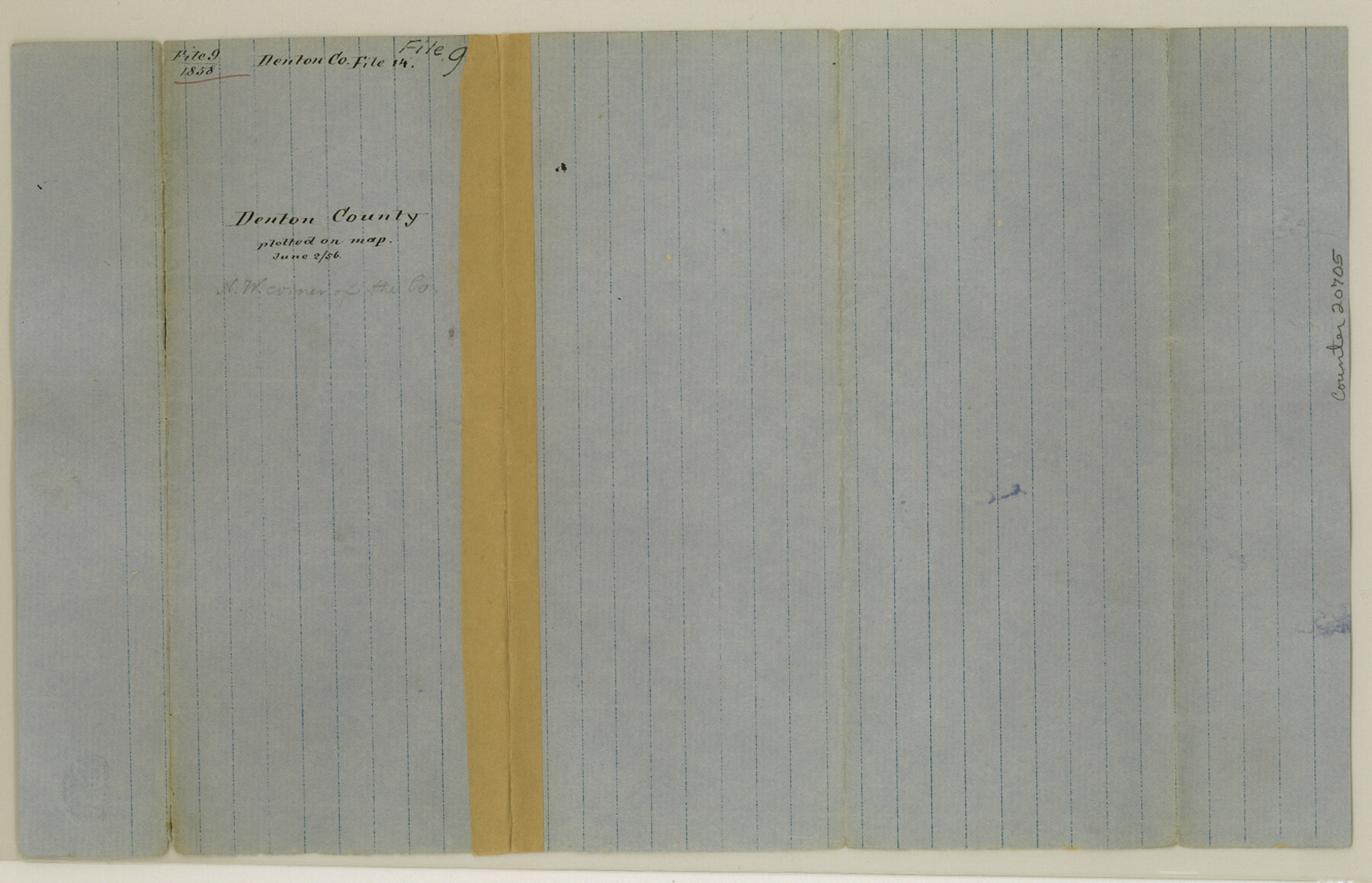
Denton County Sketch File 9
[Sketch in the northwest corner of Denton County]
-
Map/Doc
20705
-
Collection
General Map Collection
-
Object Dates
1856/5/16 (Creation Date)
1856/6/2 (File Date)
1856/6/2 (Creation Date)
-
People and Organizations
R.W. Allen (Surveyor/Engineer)
-
Counties
Denton
-
Subjects
Surveying Sketch File
-
Height x Width
8.6 x 13.3 inches
21.8 x 33.8 cm
-
Medium
paper, manuscript
Part of: General Map Collection
Flight Mission No. BRE-2P, Frame 7, Nueces County

Print $20.00
- Digital $50.00
Flight Mission No. BRE-2P, Frame 7, Nueces County
1956
Size 18.5 x 22.4 inches
Map/Doc 86716
Montgomery County Sketch File 7

Print $35.00
- Digital $50.00
Montgomery County Sketch File 7
1861
Size 8.8 x 7.8 inches
Map/Doc 31785
Leon County Working Sketch 15

Print $20.00
- Digital $50.00
Leon County Working Sketch 15
1958
Size 27.3 x 26.7 inches
Map/Doc 70414
Map of Defunct and Ghost Counties in Texas

Print $20.00
- Digital $50.00
Map of Defunct and Ghost Counties in Texas
1939
Size 35.0 x 35.9 inches
Map/Doc 2148
[Surveys between Upper Keechi Creek and the Trinity River]
![293, [Surveys between Upper Keechi Creek and the Trinity River], General Map Collection](https://historictexasmaps.com/wmedia_w700/maps/293.tif.jpg)
Print $2.00
- Digital $50.00
[Surveys between Upper Keechi Creek and the Trinity River]
Size 8.5 x 6.9 inches
Map/Doc 293
Coast Chart No. 212 - From Latitude 26° 33' to the Rio Grande, Texas

Print $20.00
- Digital $50.00
Coast Chart No. 212 - From Latitude 26° 33' to the Rio Grande, Texas
1886
Size 37.8 x 34.1 inches
Map/Doc 73503
Hutchinson County Sketch File 10

Print $40.00
- Digital $50.00
Hutchinson County Sketch File 10
Size 55.8 x 9.2 inches
Map/Doc 10500
Austin County Working Sketch 4

Print $20.00
- Digital $50.00
Austin County Working Sketch 4
1959
Size 29.8 x 34.8 inches
Map/Doc 67245
Edwards County Working Sketch 37

Print $20.00
- Digital $50.00
Edwards County Working Sketch 37
1948
Size 23.1 x 35.5 inches
Map/Doc 68913
Brown County Sketch File 30

Print $27.00
- Digital $50.00
Brown County Sketch File 30
1924
Size 12.7 x 11.0 inches
Map/Doc 16631
Refugio County Boundary File 1 (3)

Print $22.00
- Digital $50.00
Refugio County Boundary File 1 (3)
Size 10.4 x 27.5 inches
Map/Doc 58231
La Salle County Sketch File 25

Print $4.00
- Digital $50.00
La Salle County Sketch File 25
Size 7.5 x 14.2 inches
Map/Doc 29549
You may also like
Gaines County Working Sketch 35

Print $20.00
- Digital $50.00
Gaines County Working Sketch 35
1991
Size 36.4 x 42.8 inches
Map/Doc 69335
Texas Intracoastal Waterway - Stover Point to Port Brownsville including Brazos Santiago
Print $20.00
- Digital $50.00
Texas Intracoastal Waterway - Stover Point to Port Brownsville including Brazos Santiago
1961
Size 27.2 x 38.9 inches
Map/Doc 73519
Map of Erath County

Print $40.00
- Digital $50.00
Map of Erath County
1896
Size 49.6 x 43.5 inches
Map/Doc 4943
Sketch from the map of Bailey Co.

Print $2.00
- Digital $50.00
Sketch from the map of Bailey Co.
Size 8.4 x 7.6 inches
Map/Doc 464
Hartley County

Print $20.00
- Digital $50.00
Hartley County
1882
Size 30.2 x 19.3 inches
Map/Doc 90708
Hartley County

Print $40.00
- Digital $50.00
Hartley County
1902
Size 44.5 x 58.0 inches
Map/Doc 2480
[H. & G. N. RR. Company, Block B3]
![90718, [H. & G. N. RR. Company, Block B3], Twichell Survey Records](https://historictexasmaps.com/wmedia_w700/maps/90718-1.tif.jpg)
Print $20.00
- Digital $50.00
[H. & G. N. RR. Company, Block B3]
Size 34.9 x 28.8 inches
Map/Doc 90718
Swisher County Rolled Sketch 3

Print $20.00
- Digital $50.00
Swisher County Rolled Sketch 3
Size 21.3 x 19.4 inches
Map/Doc 7904
Current Miscellaneous File 16

Print $20.00
- Digital $50.00
Current Miscellaneous File 16
1951
Size 10.7 x 8.2 inches
Map/Doc 73830
Crockett County Sketch File 62

Print $6.00
- Digital $50.00
Crockett County Sketch File 62
1927
Size 14.2 x 8.8 inches
Map/Doc 19848
[Sketch showing various County School Land Leagues]
![89736, [Sketch showing various County School Land Leagues], Twichell Survey Records](https://historictexasmaps.com/wmedia_w700/maps/89736-1.tif.jpg)
Print $40.00
- Digital $50.00
[Sketch showing various County School Land Leagues]
Size 60.6 x 38.5 inches
Map/Doc 89736
Copy of Surveyor's Field Book, Morris Browning - In Blocks 7, 5 & 4, I&GNRRCo., Hutchinson and Carson Counties, Texas

Print $2.00
- Digital $50.00
Copy of Surveyor's Field Book, Morris Browning - In Blocks 7, 5 & 4, I&GNRRCo., Hutchinson and Carson Counties, Texas
1888
Size 7.0 x 8.8 inches
Map/Doc 62259