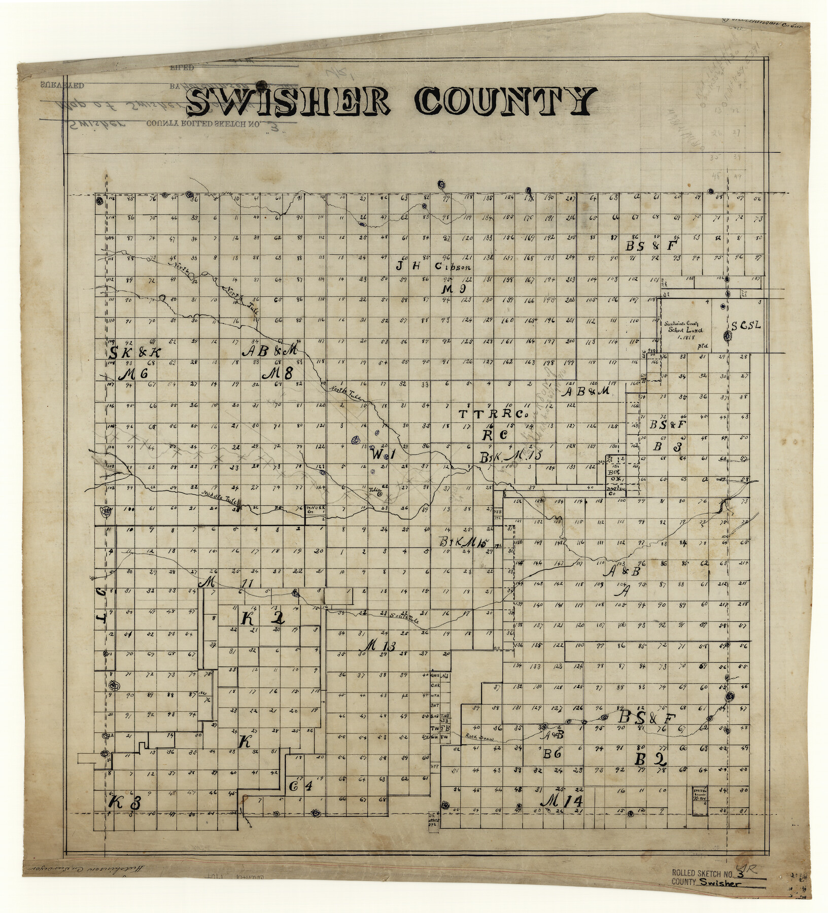
Swisher County Rolled Sketch 3
Swisher County
-
Map/Doc
7904
-
Collection
General Map Collection
-
Counties
Swisher
-
Subjects
County Surveying Rolled Sketch
-
Height x Width
21.3 x 19.4 inches
54.1 x 49.3 cm
-
Medium
linen, manuscript
Part of: General Map Collection
Presidio County Working Sketch 148

Print $20.00
- Digital $50.00
Presidio County Working Sketch 148
1991
Size 31.7 x 42.7 inches
Map/Doc 71826
Flight Mission No. DQO-8K, Frame 134, Galveston County

Print $20.00
- Digital $50.00
Flight Mission No. DQO-8K, Frame 134, Galveston County
1952
Size 18.7 x 22.3 inches
Map/Doc 85199
Ward County Working Sketch 33

Print $20.00
- Digital $50.00
Ward County Working Sketch 33
1968
Size 26.3 x 32.3 inches
Map/Doc 72339
Map of Val Verde County

Print $20.00
- Digital $50.00
Map of Val Verde County
1898
Size 42.9 x 37.5 inches
Map/Doc 63098
Hartley County Boundary File 1

Print $64.00
- Digital $50.00
Hartley County Boundary File 1
Size 8.8 x 25.8 inches
Map/Doc 54423
Limestone County Sketch File 15

Print $8.00
- Digital $50.00
Limestone County Sketch File 15
1883
Size 12.7 x 8.0 inches
Map/Doc 30181

United States Atlantic and Gulf Coasts Including Puerto Rico and the Virgin Islands

Print $40.00
- Digital $50.00
United States Atlantic and Gulf Coasts Including Puerto Rico and the Virgin Islands
1989
Size 21.4 x 60.4 inches
Map/Doc 73552
Schleicher County Sketch File 26

Print $6.00
- Digital $50.00
Schleicher County Sketch File 26
1938
Size 9.3 x 14.5 inches
Map/Doc 36524
Morris County Rolled Sketch 2A

Print $20.00
- Digital $50.00
Morris County Rolled Sketch 2A
Size 24.0 x 18.8 inches
Map/Doc 10226
Irion County Working Sketch 5

Print $20.00
- Digital $50.00
Irion County Working Sketch 5
1929
Size 24.3 x 17.9 inches
Map/Doc 66414
Palo Pinto County Working Sketch 17

Print $40.00
- Digital $50.00
Palo Pinto County Working Sketch 17
1974
Size 30.0 x 53.8 inches
Map/Doc 71400
You may also like
Map of the Paluxy Artesian Reservoirs of the Black and Grand Prairies of Texas including the Eastern and Western Cross Timbers

Print $20.00
- Digital $50.00
Map of the Paluxy Artesian Reservoirs of the Black and Grand Prairies of Texas including the Eastern and Western Cross Timbers
1900
Size 24.8 x 24.4 inches
Map/Doc 75919
Martin County Working Sketch 11

Print $40.00
- Digital $50.00
Martin County Working Sketch 11
1971
Size 49.8 x 38.1 inches
Map/Doc 70829
General Land Office Reference Book: Burnet's, Vehlein's, Zavala's, Robertson's Colonies in Texas

General Land Office Reference Book: Burnet's, Vehlein's, Zavala's, Robertson's Colonies in Texas
Map/Doc 94555
Del Mar Addition

Print $20.00
- Digital $50.00
Del Mar Addition
Size 29.4 x 13.4 inches
Map/Doc 92789
Map of the International and Great Northern Railroad between Austin and San Antonio, Texas

Print $40.00
- Digital $50.00
Map of the International and Great Northern Railroad between Austin and San Antonio, Texas
1881
Size 42.5 x 121.5 inches
Map/Doc 64776
Sketch Showing Original Corners and Connections Affecting Blocks T1, T2, and T3 in Lamb & Castro Counties

Print $20.00
- Digital $50.00
Sketch Showing Original Corners and Connections Affecting Blocks T1, T2, and T3 in Lamb & Castro Counties
Size 26.5 x 46.0 inches
Map/Doc 90405
Montague County Working Sketch 12

Print $20.00
- Digital $50.00
Montague County Working Sketch 12
1937
Size 23.3 x 23.8 inches
Map/Doc 71078
Trinity County Sketch File 6

Print $6.00
- Digital $50.00
Trinity County Sketch File 6
Size 16.2 x 10.2 inches
Map/Doc 38508
Coleman County Working Sketch 20

Print $20.00
- Digital $50.00
Coleman County Working Sketch 20
1953
Size 32.7 x 41.9 inches
Map/Doc 68086
Hockley County Working Sketch 3

Print $20.00
- Digital $50.00
Hockley County Working Sketch 3
1962
Size 35.4 x 22.0 inches
Map/Doc 66193
Map of Encinal County

Print $20.00
- Digital $50.00
Map of Encinal County
1878
Size 32.8 x 22.7 inches
Map/Doc 3514
