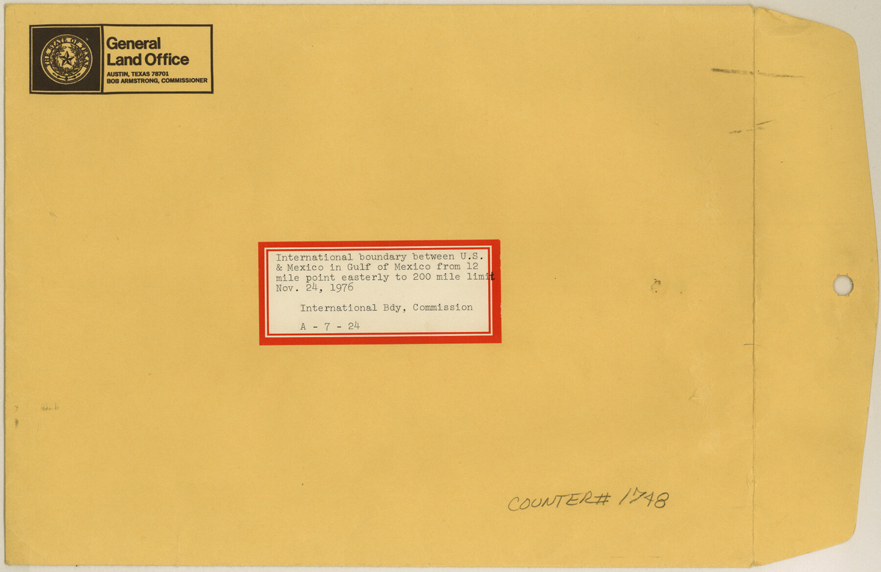
International boundary between U.S. & Mexico in Gulf of Mexico from 12 mile point easterly to 200 mile limit
A-7-24
-
Map/Doc
1748
-
Collection
General Map Collection
-
Object Dates
1976/11/24 (Creation Date)
1977/1/8 (File Date)
-
People and Organizations
International Boundary and Water Commission (Publisher)
-
Subjects
Texas Boundaries
-
Height x Width
9.6 x 14.8 inches
24.4 x 37.6 cm
Part of: General Map Collection
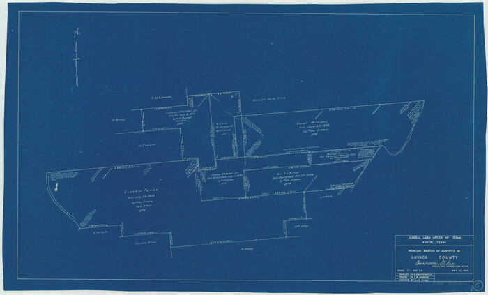
Lavaca County Working Sketch 5

Print $20.00
- Digital $50.00
Lavaca County Working Sketch 5
1940
Size 21.3 x 35.2 inches
Map/Doc 70358
Mills County Sketch File 11


Print $6.00
- Digital $50.00
Mills County Sketch File 11
1876
Size 10.6 x 13.0 inches
Map/Doc 31659
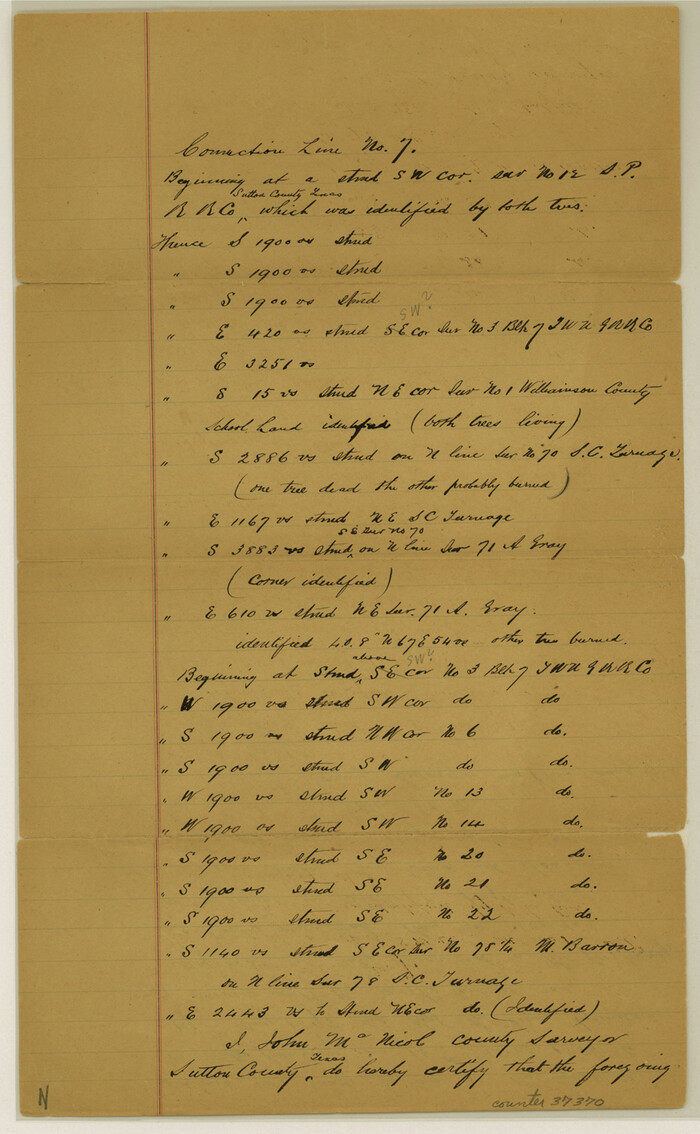
Sutton County Sketch File 10

Print $8.00
- Digital $50.00
Sutton County Sketch File 10
1897
Size 14.1 x 8.7 inches
Map/Doc 37370
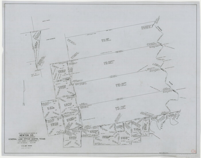
Newton County Working Sketch 31

Print $20.00
- Digital $50.00
Newton County Working Sketch 31
1955
Size 34.3 x 43.6 inches
Map/Doc 71277
Hopkins County Sketch File 6
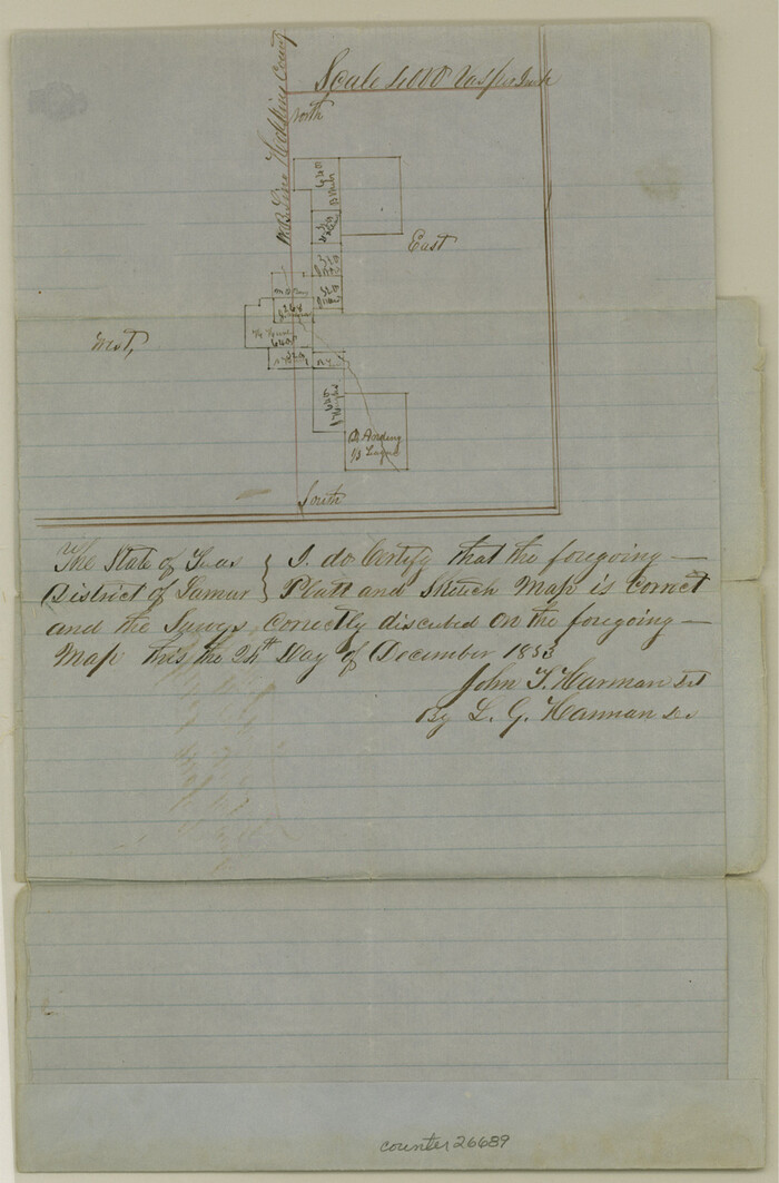

Print $7.00
- Digital $50.00
Hopkins County Sketch File 6
1853
Size 12.4 x 8.1 inches
Map/Doc 26689
Hidalgo County Sketch File 3
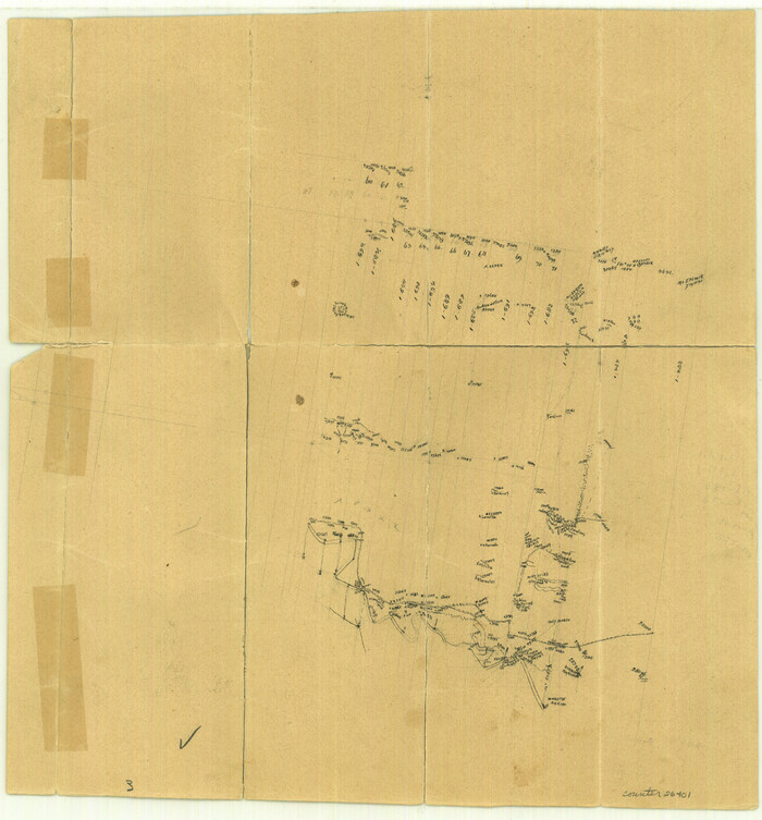

Print $40.00
- Digital $50.00
Hidalgo County Sketch File 3
1878
Size 14.1 x 13.1 inches
Map/Doc 26401
Flight Mission No. DCL-4C, Frame 147, Kenedy County
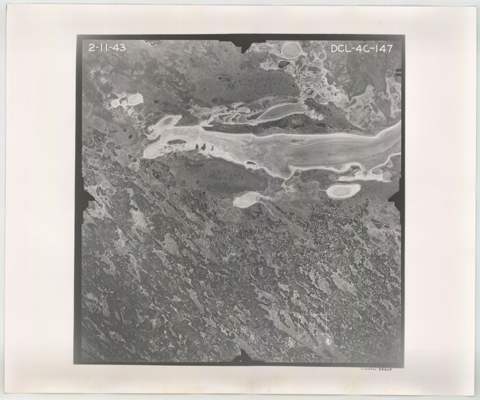

Print $20.00
- Digital $50.00
Flight Mission No. DCL-4C, Frame 147, Kenedy County
1943
Size 18.6 x 22.3 inches
Map/Doc 85825
Starr County Sketch File 15
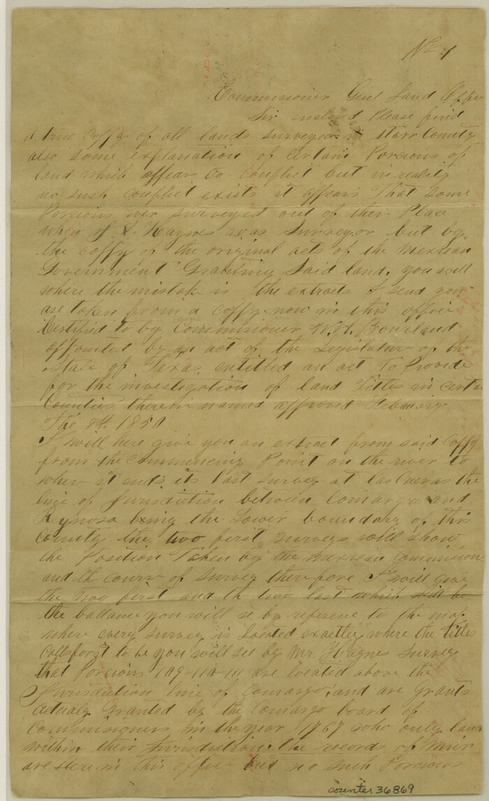

Print $10.00
- Digital $50.00
Starr County Sketch File 15
Size 12.1 x 7.4 inches
Map/Doc 36869
Cottle County Sketch File 13


Print $20.00
- Digital $50.00
Cottle County Sketch File 13
1904
Size 15.8 x 15.8 inches
Map/Doc 11195
Presidio County Rolled Sketch 28


Print $40.00
- Digital $50.00
Presidio County Rolled Sketch 28
1886
Size 25.7 x 120.0 inches
Map/Doc 76139
Borden County Working Sketch 1a and 1b
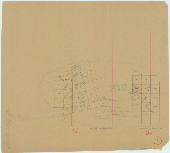

Print $20.00
- Digital $50.00
Borden County Working Sketch 1a and 1b
1890
Size 16.2 x 18.0 inches
Map/Doc 67461
You may also like
Hardin County Working Sketch Graphic Index
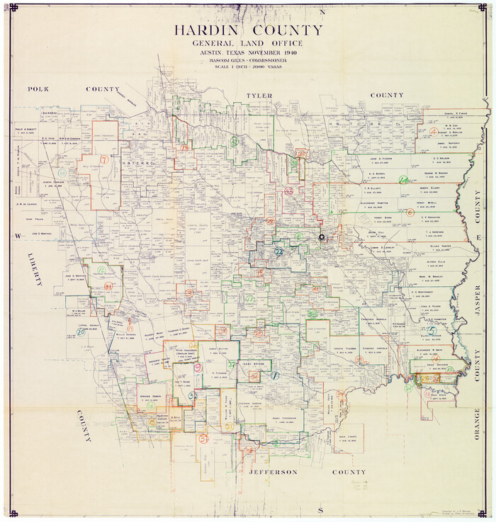

Print $20.00
- Digital $50.00
Hardin County Working Sketch Graphic Index
1940
Size 45.1 x 45.0 inches
Map/Doc 76567
Carte d'Amerique, Divisee en ses Principaux Pays, Dressee sur les Memoires les plus recents, et sur differents Voyages, et assujettie aux observations Astronomiques de Mrs. de l'Academie Royale des Sciences


Print $40.00
- Digital $50.00
Carte d'Amerique, Divisee en ses Principaux Pays, Dressee sur les Memoires les plus recents, et sur differents Voyages, et assujettie aux observations Astronomiques de Mrs. de l'Academie Royale des Sciences
1787
Size 43.5 x 51.3 inches
Map/Doc 96430
Lavaca County Working Sketch 25
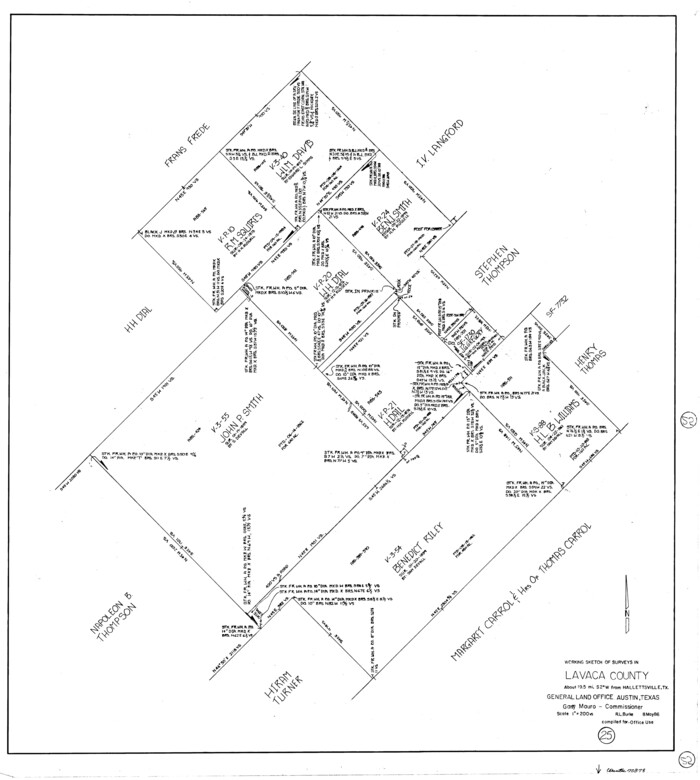

Print $20.00
- Digital $50.00
Lavaca County Working Sketch 25
1986
Size 33.3 x 29.9 inches
Map/Doc 70378
Coryell County Working Sketch 3


Print $20.00
- Digital $50.00
Coryell County Working Sketch 3
1928
Size 23.6 x 22.5 inches
Map/Doc 68210
Kinney County Working Sketch 32
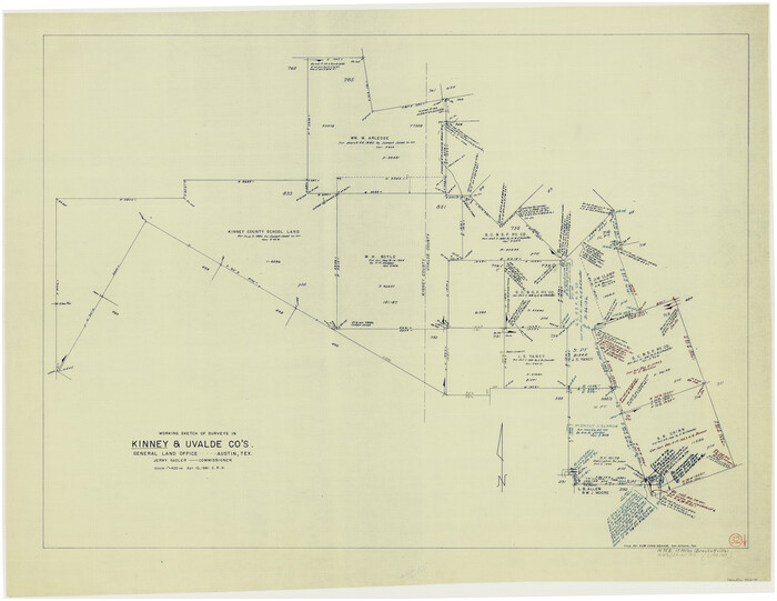

Print $20.00
- Digital $50.00
Kinney County Working Sketch 32
1961
Size 32.6 x 42.5 inches
Map/Doc 70214
Flight Mission No. DQO-3K, Frame 41, Galveston County


Print $20.00
- Digital $50.00
Flight Mission No. DQO-3K, Frame 41, Galveston County
1952
Size 18.7 x 22.5 inches
Map/Doc 85082
Map of the Fort Worth & Denver City Railway


Print $40.00
- Digital $50.00
Map of the Fort Worth & Denver City Railway
1887
Size 22.8 x 124.4 inches
Map/Doc 64458
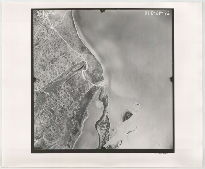
Flight Mission No. DIX-8P, Frame 92, Aransas County

Print $20.00
- Digital $50.00
Flight Mission No. DIX-8P, Frame 92, Aransas County
1956
Size 18.5 x 22.3 inches
Map/Doc 83917
Deaf Smith County Rolled Sketch 1


Print $20.00
- Digital $50.00
Deaf Smith County Rolled Sketch 1
1965
Size 24.8 x 25.9 inches
Map/Doc 5698
Midland County Rolled Sketch 4A


Print $40.00
- Digital $50.00
Midland County Rolled Sketch 4A
1951
Size 43.0 x 85.3 inches
Map/Doc 61735
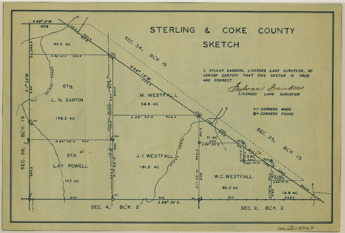
Sterling County Sketch File 17b

Print $4.00
- Digital $50.00
Sterling County Sketch File 17b
Size 8.6 x 12.7 inches
Map/Doc 37167
English Field Notes of the Spanish Archives - Book S


English Field Notes of the Spanish Archives - Book S
1835
Map/Doc 96543
