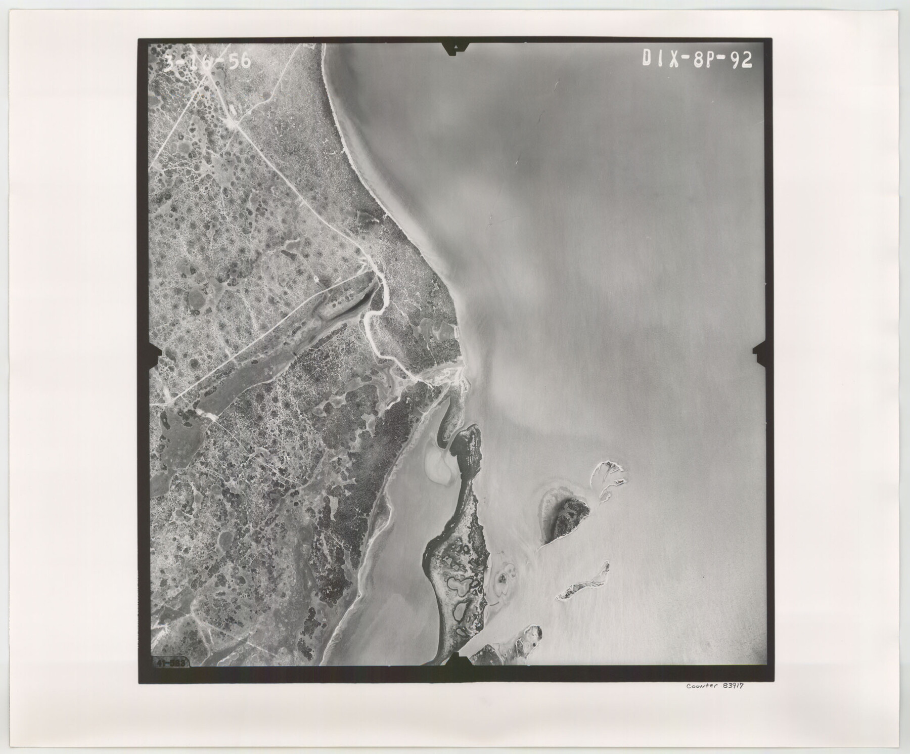
Flight Mission No. DIX-8P, Frame 92, Aransas County
DIX-8P-92
-
Map/Doc
83917
-
Collection
General Map Collection
-
Object Dates
1956/3/16 (Creation Date)
-
People and Organizations
U. S. Department of Agriculture (Publisher)
-
Counties
Aransas
-
Subjects
Aerial Photograph
-
Height x Width
18.5 x 22.3 inches
47.0 x 56.6 cm
-
Comments
Flown by V. L. Beavers and Associates of San Antonio, Texas.
Part of: General Map Collection
Taylor County Working Sketch 13

Print $20.00
- Digital $50.00
Taylor County Working Sketch 13
1956
Size 16.3 x 28.9 inches
Map/Doc 69623
Gonzales County

Print $40.00
- Digital $50.00
Gonzales County
1920
Size 41.0 x 51.2 inches
Map/Doc 1841
Frio County Working Sketch 20

Print $20.00
- Digital $50.00
Frio County Working Sketch 20
1985
Size 36.3 x 36.0 inches
Map/Doc 69294
Val Verde County Working Sketch 48

Print $20.00
- Digital $50.00
Val Verde County Working Sketch 48
1949
Size 32.6 x 17.6 inches
Map/Doc 72183
Anderson County Working Sketch 4

Print $20.00
- Digital $50.00
Anderson County Working Sketch 4
Size 15.9 x 21.4 inches
Map/Doc 67003
Official Map of the Highway System of Texas

Print $20.00
- Digital $50.00
Official Map of the Highway System of Texas
1936
Size 27.5 x 33.4 inches
Map/Doc 83598
Hunt County Sketch File 27

Print $4.00
- Digital $50.00
Hunt County Sketch File 27
1860
Size 10.3 x 7.6 inches
Map/Doc 27126
Uvalde County Sketch File 16

Print $14.00
- Digital $50.00
Uvalde County Sketch File 16
1876
Size 12.8 x 8.4 inches
Map/Doc 38988
Dickens County Sketch File 16

Print $4.00
- Digital $50.00
Dickens County Sketch File 16
Size 7.4 x 11.1 inches
Map/Doc 20975
Galveston County Working Sketch 18

Print $20.00
- Digital $50.00
Galveston County Working Sketch 18
1982
Size 18.3 x 19.7 inches
Map/Doc 69355
Hardeman County Sketch File 18

Print $8.00
- Digital $50.00
Hardeman County Sketch File 18
Size 13.1 x 8.2 inches
Map/Doc 25026
Webb County Sketch File 1-1

Print $4.00
- Digital $50.00
Webb County Sketch File 1-1
1857
Size 8.6 x 8.4 inches
Map/Doc 39708
You may also like
[Southwest part of B. S. & F. Block and surveys to the south]
![90389, [Southwest part of B. S. & F. Block and surveys to the south], Twichell Survey Records](https://historictexasmaps.com/wmedia_w700/maps/90389-1.tif.jpg)
Print $3.00
- Digital $50.00
[Southwest part of B. S. & F. Block and surveys to the south]
Size 11.1 x 10.3 inches
Map/Doc 90389
Duval County Rolled Sketch 31

Print $20.00
- Digital $50.00
Duval County Rolled Sketch 31
1948
Size 21.9 x 20.8 inches
Map/Doc 5748
Hockley County Rolled Sketch 7

Print $40.00
- Digital $50.00
Hockley County Rolled Sketch 7
Size 41.4 x 56.6 inches
Map/Doc 9176
Flight Mission No. DAG-17K, Frame 135, Matagorda County

Print $20.00
- Digital $50.00
Flight Mission No. DAG-17K, Frame 135, Matagorda County
1952
Size 17.4 x 16.1 inches
Map/Doc 86352
Taylor County Working Sketch 10

Print $20.00
- Digital $50.00
Taylor County Working Sketch 10
1955
Size 21.6 x 25.5 inches
Map/Doc 69620
Mexican Boundary B. - Extract from the Treaty Map of Disturnell of 1847 referred to in Col. Graham's report to the Hon. The Secretary of the Interior of Aug. 16th, 1851

Print $20.00
- Digital $50.00
Mexican Boundary B. - Extract from the Treaty Map of Disturnell of 1847 referred to in Col. Graham's report to the Hon. The Secretary of the Interior of Aug. 16th, 1851
1851
Size 10.1 x 16.5 inches
Map/Doc 96525
San Patricio County Working Sketch 22

Print $20.00
- Digital $50.00
San Patricio County Working Sketch 22
1981
Size 30.0 x 24.1 inches
Map/Doc 63784
Travis County Working Sketch 66

Print $20.00
- Digital $50.00
Travis County Working Sketch 66
2017
Size 24.5 x 36.6 inches
Map/Doc 94122
Upton County Working Sketch 27

Print $20.00
- Digital $50.00
Upton County Working Sketch 27
1954
Size 24.2 x 33.9 inches
Map/Doc 69523
Flight Mission No. CGI-3N, Frame 50, Cameron County

Print $20.00
- Digital $50.00
Flight Mission No. CGI-3N, Frame 50, Cameron County
1954
Size 18.6 x 22.2 inches
Map/Doc 84556
Plat of South Side Addition on Section 37 Block 17, Wheeler County, Texas

Print $20.00
- Digital $50.00
Plat of South Side Addition on Section 37 Block 17, Wheeler County, Texas
Size 12.0 x 16.9 inches
Map/Doc 92103
Carte du Mexique et des Pays Limitrophes Situés au Nord et à l'Est

Print $20.00
- Digital $50.00
Carte du Mexique et des Pays Limitrophes Situés au Nord et à l'Est
1811
Size 17.5 x 29.0 inches
Map/Doc 93421