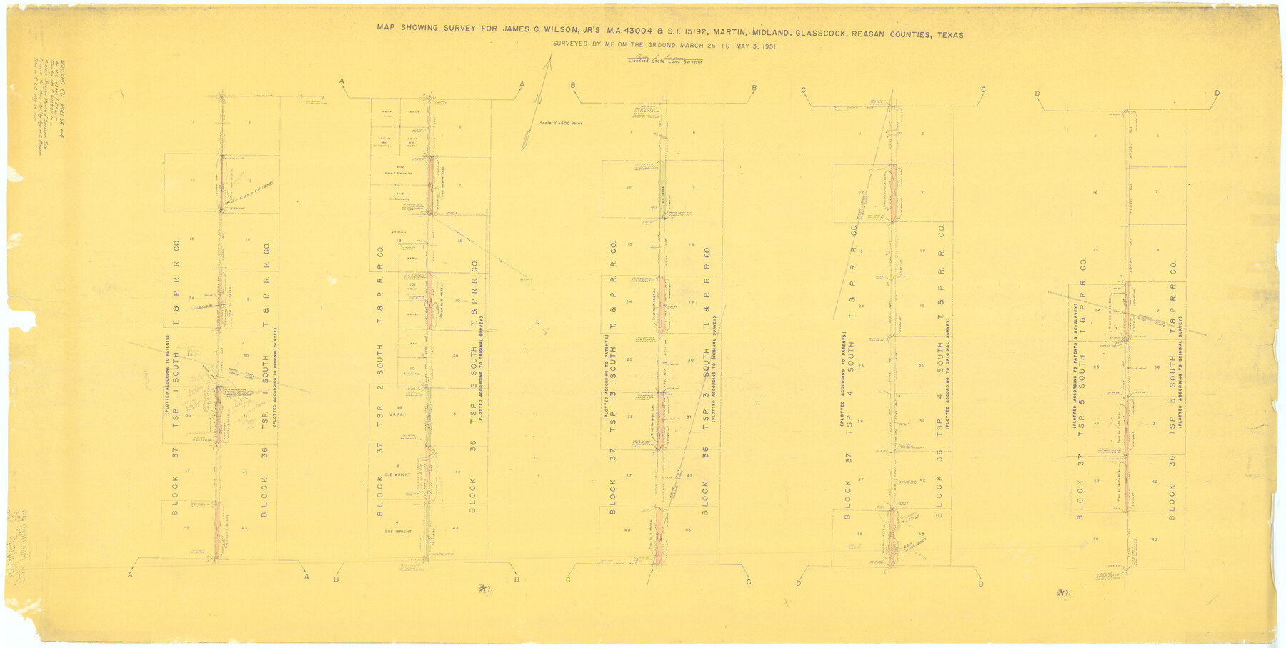
Midland County Rolled Sketch 4A
Map showing survey for James C. Wilson, Jr's MA-43004 & SF-15192, Martin, Midland, Glasscock, Reagan Counties, Texas
-
Map/Doc
61735
-
Collection
General Map Collection
-
Object Dates
1951/5/3 (Creation Date)
1951/5/26 (File Date)
-
People and Organizations
Byron L. Simpson (Surveyor/Engineer)
-
Counties
Midland Martin Glasscock Reagan
-
Subjects
Surveying Rolled Sketch
-
Height x Width
43.0 x 85.3 inches
109.2 x 216.7 cm
-
Medium
blueprint/diazo
-
Scale
1" = 500 varas
Part of: General Map Collection
Ellis County Sketch File 19

Print $6.00
- Digital $50.00
Ellis County Sketch File 19
1863
Size 12.4 x 7.8 inches
Map/Doc 21866
Brazoria County

Print $20.00
- Digital $50.00
Brazoria County
1877
Size 25.0 x 22.2 inches
Map/Doc 4510
Roberts County Rolled Sketch 3

Print $40.00
- Digital $50.00
Roberts County Rolled Sketch 3
Size 38.0 x 49.7 inches
Map/Doc 8354
Brazoria County Sketch File 25

Print $8.00
- Digital $50.00
Brazoria County Sketch File 25
1875
Size 8.4 x 13.2 inches
Map/Doc 15024
Atascosa County Working Sketch 15

Print $40.00
- Digital $50.00
Atascosa County Working Sketch 15
1935
Size 43.8 x 53.6 inches
Map/Doc 67211
Pecos County Rolled Sketch 39A

Print $20.00
- Digital $50.00
Pecos County Rolled Sketch 39A
1908
Size 23.8 x 35.9 inches
Map/Doc 7218
Gaines County Sketch File 18

Print $242.00
- Digital $50.00
Gaines County Sketch File 18
1887
Size 8.4 x 8.4 inches
Map/Doc 23210
Galveston Harbor, Texas - U.S. Harbor Lines - Galveston Harbor, Galveston Channel, Channel from Galveston Harbor to Texas City and Channel to Port Bolivar

Print $20.00
- Digital $50.00
Galveston Harbor, Texas - U.S. Harbor Lines - Galveston Harbor, Galveston Channel, Channel from Galveston Harbor to Texas City and Channel to Port Bolivar
1939
Size 39.4 x 26.7 inches
Map/Doc 73631
Rio Grande, Mercedes and La Feria Sheet

Print $20.00
- Digital $50.00
Rio Grande, Mercedes and La Feria Sheet
1937
Size 37.3 x 37.2 inches
Map/Doc 65126
McMullen County Rolled Sketch 14

Print $20.00
- Digital $50.00
McMullen County Rolled Sketch 14
1946
Size 33.3 x 41.0 inches
Map/Doc 6731
Map of Zapata County

Print $40.00
- Digital $50.00
Map of Zapata County
1901
Size 49.1 x 42.4 inches
Map/Doc 63144
Webb County Rolled Sketch 3

Print $20.00
- Digital $50.00
Webb County Rolled Sketch 3
1884
Size 19.7 x 24.8 inches
Map/Doc 8170
You may also like
The Chief Justice County of Nacogdoches. April 25, 1837

Print $20.00
The Chief Justice County of Nacogdoches. April 25, 1837
2020
Size 17.6 x 21.7 inches
Map/Doc 96063
Matagorda County Sketch File 33

Print $6.00
- Digital $50.00
Matagorda County Sketch File 33
1938
Size 14.2 x 8.8 inches
Map/Doc 30817
[S.P.R.R.Co. Blocks 15 &16]
![92355, [S.P.R.R.Co. Blocks 15 &16], Twichell Survey Records](https://historictexasmaps.com/wmedia_w700/maps/92355-1.tif.jpg)
Print $20.00
- Digital $50.00
[S.P.R.R.Co. Blocks 15 &16]
Size 37.3 x 32.3 inches
Map/Doc 92355
Texas Official Travel Map

Digital $50.00
Texas Official Travel Map
Size 33.5 x 36.2 inches
Map/Doc 94303

Map of Nacogdoches County

Print $20.00
- Digital $50.00
Map of Nacogdoches County
1846
Size 44.7 x 40.0 inches
Map/Doc 87355
Orange County Sketch File 1

Print $6.00
- Digital $50.00
Orange County Sketch File 1
Size 9.6 x 11.5 inches
Map/Doc 33299
Van Zandt County Working Sketch 12

Print $20.00
- Digital $50.00
Van Zandt County Working Sketch 12
1982
Size 21.5 x 20.7 inches
Map/Doc 72262
Flight Mission No. BRA-3M, Frame 192, Jefferson County

Print $20.00
- Digital $50.00
Flight Mission No. BRA-3M, Frame 192, Jefferson County
1953
Size 18.5 x 22.4 inches
Map/Doc 85407
Wilbarger County Rolled Sketch 6

Print $20.00
- Digital $50.00
Wilbarger County Rolled Sketch 6
1885
Size 20.3 x 28.0 inches
Map/Doc 8256
Sketch of surveys in Dimmit, Maverick and Webb Cos.

Print $20.00
- Digital $50.00
Sketch of surveys in Dimmit, Maverick and Webb Cos.
1876
Size 17.9 x 14.7 inches
Map/Doc 5050
Jeff Davis County Sketch File 20

Print $56.00
- Digital $50.00
Jeff Davis County Sketch File 20
1923
Size 11.2 x 8.8 inches
Map/Doc 27978