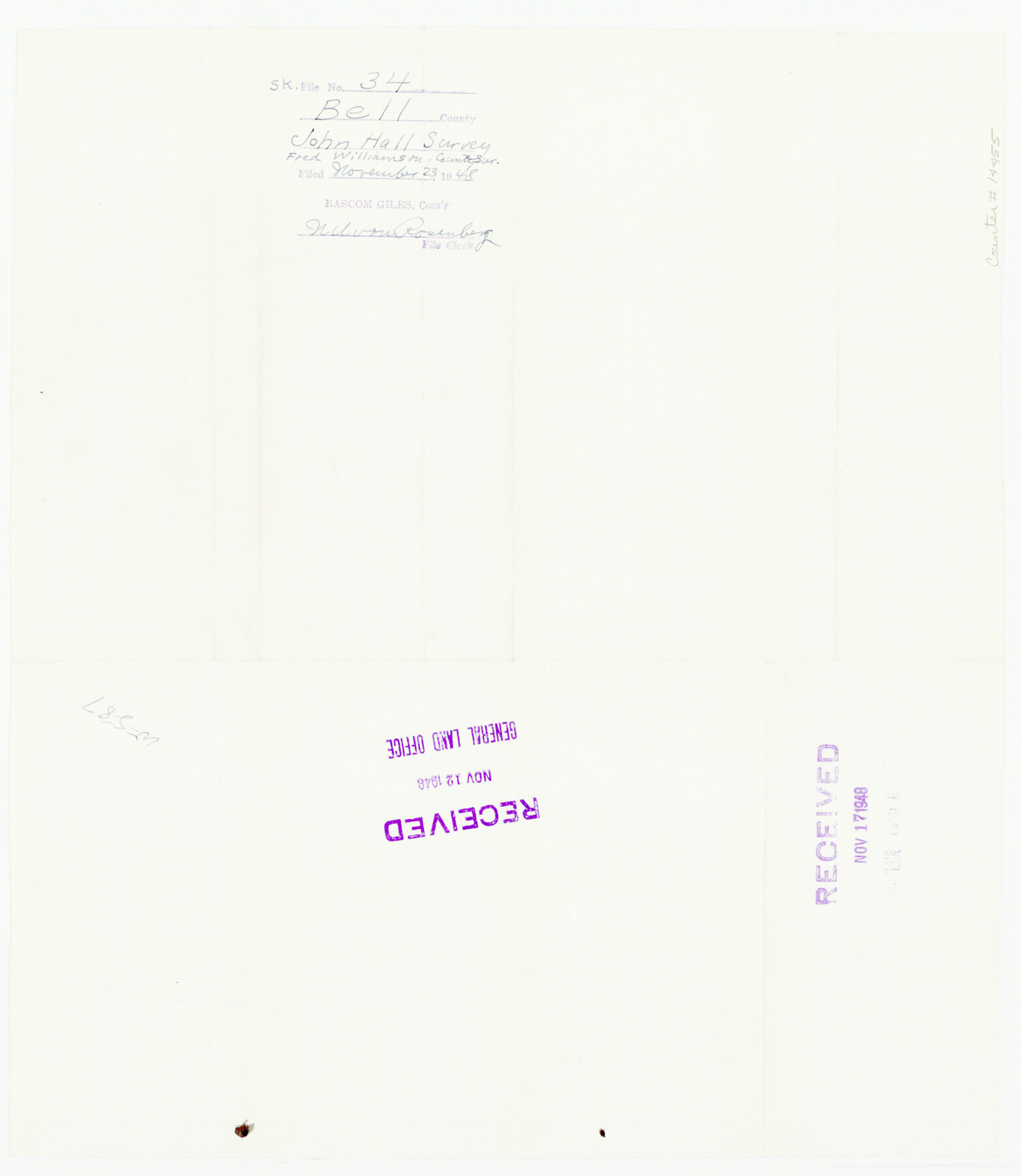
Bell County Sketch File 34
[Sketch of John Hall survey]
-
Map/Doc
14455
-
Collection
General Map Collection
-
Object Dates
1948/11/23 (File Date)
-
People and Organizations
Fred Williamson (Surveyor/Engineer)
-
Counties
Bell
-
Subjects
Surveying Sketch File
-
Height x Width
15.4 x 13.4 inches
39.1 x 34.0 cm
-
Medium
blueprint/diazo
Part of: General Map Collection
Wheeler County Sketch File 8

Print $6.00
- Digital $50.00
Wheeler County Sketch File 8
1935
Size 11.4 x 8.8 inches
Map/Doc 40005
Webb County Working Sketch 34

Print $20.00
- Digital $50.00
Webb County Working Sketch 34
1938
Size 23.8 x 24.3 inches
Map/Doc 72399
Childress County Sketch File 4

Print $24.00
- Digital $50.00
Childress County Sketch File 4
1887
Size 8.1 x 12.0 inches
Map/Doc 18250
Liberty County Working Sketch 10

Print $40.00
- Digital $50.00
Liberty County Working Sketch 10
1909
Size 38.9 x 48.3 inches
Map/Doc 70469
Pecos County Working Sketch 136

Print $20.00
- Digital $50.00
Pecos County Working Sketch 136
1981
Size 31.8 x 28.4 inches
Map/Doc 71610
Reeves County Sketch File 1

Print $10.00
- Digital $50.00
Reeves County Sketch File 1
Size 9.0 x 15.8 inches
Map/Doc 35176
[Surveys in the Jefferson District]
![3177, [Surveys in the Jefferson District], General Map Collection](https://historictexasmaps.com/wmedia_w700/maps/3177.tif.jpg)
Print $2.00
- Digital $50.00
[Surveys in the Jefferson District]
1841
Size 9.8 x 8.0 inches
Map/Doc 3177
Chart of Yellow Fever in the United States

Print $20.00
- Digital $50.00
Chart of Yellow Fever in the United States
1874
Size 16.3 x 17.2 inches
Map/Doc 95701
Current Miscellaneous File 3

Print $34.00
- Digital $50.00
Current Miscellaneous File 3
1947
Size 9.0 x 6.2 inches
Map/Doc 73706
Jefferson County Rolled Sketch 61G

Print $20.00
- Digital $50.00
Jefferson County Rolled Sketch 61G
1928
Size 27.2 x 40.3 inches
Map/Doc 6416
Montgomery County Sketch File 14

Print $42.00
- Digital $50.00
Montgomery County Sketch File 14
1905
Size 11.0 x 8.8 inches
Map/Doc 31805
Fayette County Sketch File 2

Print $4.00
- Digital $50.00
Fayette County Sketch File 2
1862
Size 10.3 x 8.4 inches
Map/Doc 22499
You may also like
Jim Wells County Boundary File 2

Print $4.00
- Digital $50.00
Jim Wells County Boundary File 2
Size 8.7 x 11.3 inches
Map/Doc 55544
[Sketch for Mineral Application 26501 - Sabine River, T. A. Oldhausen]
![2837, [Sketch for Mineral Application 26501 - Sabine River, T. A. Oldhausen], General Map Collection](https://historictexasmaps.com/wmedia_w700/maps/2837.tif.jpg)
Print $20.00
- Digital $50.00
[Sketch for Mineral Application 26501 - Sabine River, T. A. Oldhausen]
1931
Size 24.1 x 36.0 inches
Map/Doc 2837
Midland County Working Sketch 19

Print $20.00
- Digital $50.00
Midland County Working Sketch 19
1953
Size 29.9 x 24.7 inches
Map/Doc 70999
Foard County Sketch File 4

Print $5.00
- Digital $50.00
Foard County Sketch File 4
Size 12.4 x 9.5 inches
Map/Doc 22806
Plat of a portion of Buchel County, Texas

Print $20.00
- Digital $50.00
Plat of a portion of Buchel County, Texas
Size 16.0 x 26.2 inches
Map/Doc 82526
Wavell Empresario Colony. Proposed, March 9, 1826

Print $20.00
Wavell Empresario Colony. Proposed, March 9, 1826
2020
Size 16.0 x 21.7 inches
Map/Doc 96009
Brewster County Rolled Sketch 46

Print $20.00
- Digital $50.00
Brewster County Rolled Sketch 46
Size 20.8 x 32.2 inches
Map/Doc 5222
Croquis del terro, camino, bosques, barrancas, cerro y beredas de Cerro-gordo con las posiciones de las topas Mejicanas y Americanas con sus respectivos Generales Cuerpos y Baterias el dis 18 de Abril de 1847

Print $20.00
Croquis del terro, camino, bosques, barrancas, cerro y beredas de Cerro-gordo con las posiciones de las topas Mejicanas y Americanas con sus respectivos Generales Cuerpos y Baterias el dis 18 de Abril de 1847
1847
Size 20.1 x 26.0 inches
Map/Doc 97343
The Republic County of Goliad. Boundaries Defined, December 2, 1841

Print $20.00
The Republic County of Goliad. Boundaries Defined, December 2, 1841
2020
Size 17.5 x 21.7 inches
Map/Doc 96151
Flight Mission No. CRK-7P, Frame 133, Refugio County

Print $20.00
- Digital $50.00
Flight Mission No. CRK-7P, Frame 133, Refugio County
1956
Size 18.3 x 22.1 inches
Map/Doc 86956
Jefferson County Rolled Sketch 34

Print $20.00
- Digital $50.00
Jefferson County Rolled Sketch 34
1957
Size 43.9 x 34.6 inches
Map/Doc 9296
Dallam County Sketch File A

Print $20.00
- Digital $50.00
Dallam County Sketch File A
1903
Size 32.3 x 20.9 inches
Map/Doc 11281