Jefferson County Rolled Sketch 61G
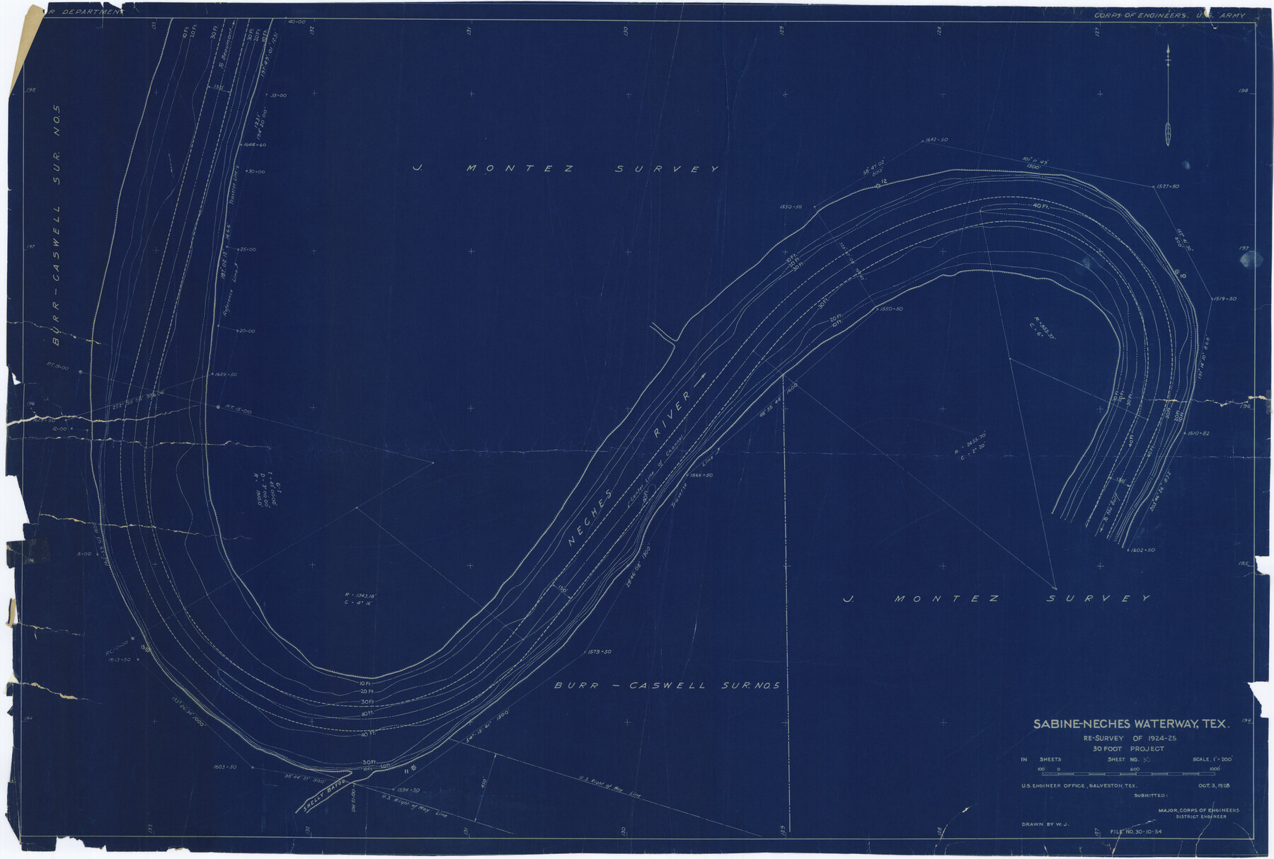
Sabine-Neches Waterway, Tex. re-survey of 1924-25, 30 foot project - Sheet no. 30
-
Map/Doc
6416
-
Collection
General Map Collection
-
Object Dates
1928/10/3 (Creation Date)
-
People and Organizations
U.S. Army Corps of Engineers (Publisher)
-
Counties
Jefferson
-
Subjects
Surveying Rolled Sketch
-
Height x Width
27.2 x 40.3 inches
69.1 x 102.4 cm
-
Medium
blueprint/diazo
-
Scale
1" = 200 feet
Part of: General Map Collection
Tyler County Sketch File 30

Print $4.00
- Digital $50.00
Tyler County Sketch File 30
1989
Size 14.3 x 8.8 inches
Map/Doc 38721
[Right of Way & Track Map, The Texas & Pacific Ry. Co. Main Line]
![64672, [Right of Way & Track Map, The Texas & Pacific Ry. Co. Main Line], General Map Collection](https://historictexasmaps.com/wmedia_w700/maps/64672.tif.jpg)
Print $20.00
- Digital $50.00
[Right of Way & Track Map, The Texas & Pacific Ry. Co. Main Line]
Size 11.0 x 18.4 inches
Map/Doc 64672
Harris County

Print $20.00
- Digital $50.00
Harris County
1940
Size 36.6 x 45.1 inches
Map/Doc 73172
Lampasas County Rolled Sketch 4

Print $20.00
- Digital $50.00
Lampasas County Rolled Sketch 4
2001
Size 27.1 x 38.5 inches
Map/Doc 6566
Sutton County Rolled Sketch 70

Print $40.00
- Digital $50.00
Sutton County Rolled Sketch 70
Size 48.7 x 37.0 inches
Map/Doc 9982
Potter County Sketch File 21

Print $6.00
- Digital $50.00
Potter County Sketch File 21
1930
Size 14.1 x 9.7 inches
Map/Doc 34413
Sherman County Boundary File 1

Print $20.00
- Digital $50.00
Sherman County Boundary File 1
Size 11.4 x 8.9 inches
Map/Doc 58751
Calcasieu Pass to Sabine Pass

Print $20.00
- Digital $50.00
Calcasieu Pass to Sabine Pass
1976
Size 44.6 x 35.3 inches
Map/Doc 69813
Kinney County Working Sketch 3

Print $20.00
- Digital $50.00
Kinney County Working Sketch 3
Size 20.3 x 17.6 inches
Map/Doc 70185
Anderson County Working Sketch 14

Print $20.00
- Digital $50.00
Anderson County Working Sketch 14
1933
Size 20.3 x 26.0 inches
Map/Doc 67014
Potter County Sketch File 23

Print $4.00
- Digital $50.00
Potter County Sketch File 23
Size 11.1 x 8.7 inches
Map/Doc 34421
Hunt County Sketch File 26

Print $4.00
- Digital $50.00
Hunt County Sketch File 26
1851
Size 8.4 x 12.9 inches
Map/Doc 27124
You may also like
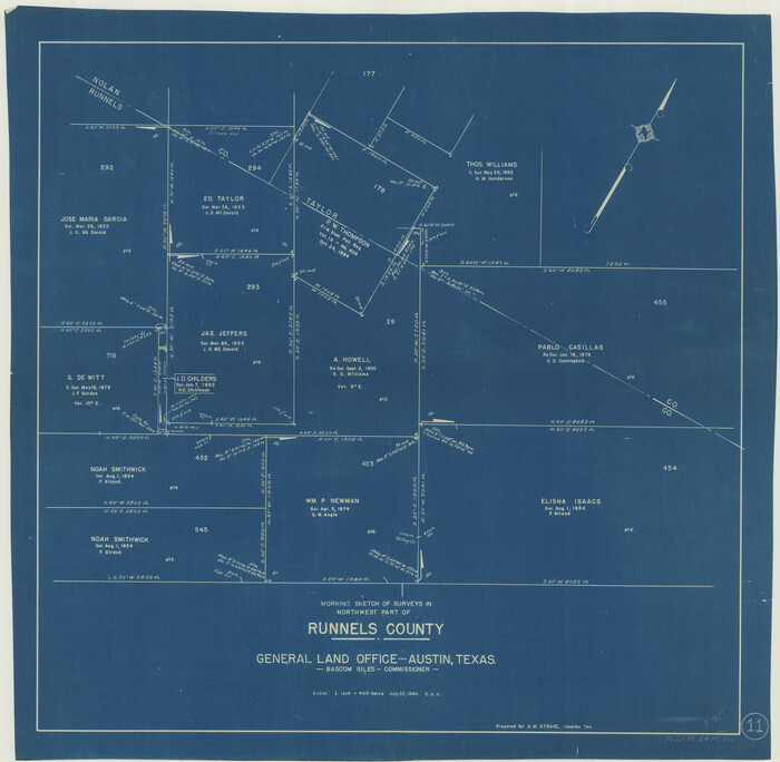
Runnels County Working Sketch 11
Print $20.00
- Digital $50.00
Runnels County Working Sketch 11
1949
Size 24.6 x 25.2 inches
Map/Doc 63607
Dickens County Sketch File 32

Print $20.00
- Digital $50.00
Dickens County Sketch File 32
Size 32.8 x 30.6 inches
Map/Doc 11328
Ellis County Sketch File 9

Print $40.00
- Digital $50.00
Ellis County Sketch File 9
1860
Size 16.0 x 13.0 inches
Map/Doc 21843
Padre Island National Seashore

Print $20.00
- Digital $50.00
Padre Island National Seashore
Size 16.0 x 21.7 inches
Map/Doc 60537
Flight Mission No. CGI-3N, Frame 169, Cameron County

Print $20.00
- Digital $50.00
Flight Mission No. CGI-3N, Frame 169, Cameron County
1954
Size 18.6 x 22.3 inches
Map/Doc 84633
The Mexican Company Empresario Colony. May 1, 1832

Print $20.00
The Mexican Company Empresario Colony. May 1, 1832
2020
Size 15.0 x 21.7 inches
Map/Doc 95999
Webb County Sketch File 13a

Print $20.00
- Digital $50.00
Webb County Sketch File 13a
1881
Size 19.0 x 25.7 inches
Map/Doc 12631
General Highway Map, Matagorda County, Texas

Print $20.00
General Highway Map, Matagorda County, Texas
1939
Size 24.6 x 18.4 inches
Map/Doc 79188
Map showing lands surveyed by Sylvan Sanders in the Southwestern Part of Jack County, Texas for Buttram Petroleum Corporation

Print $20.00
- Digital $50.00
Map showing lands surveyed by Sylvan Sanders in the Southwestern Part of Jack County, Texas for Buttram Petroleum Corporation
Size 21.2 x 12.9 inches
Map/Doc 92186
Montgomery County Rolled Sketch 17

Print $20.00
- Digital $50.00
Montgomery County Rolled Sketch 17
Size 26.6 x 34.9 inches
Map/Doc 6805
Topography and Water Depth as Shown by the US Coast Survey of 1888

Print $20.00
- Digital $50.00
Topography and Water Depth as Shown by the US Coast Survey of 1888
1890
Size 16.9 x 18.9 inches
Map/Doc 5036
Blanco County Boundary File 53

Print $50.00
- Digital $50.00
Blanco County Boundary File 53
Size 9.2 x 7.7 inches
Map/Doc 50580