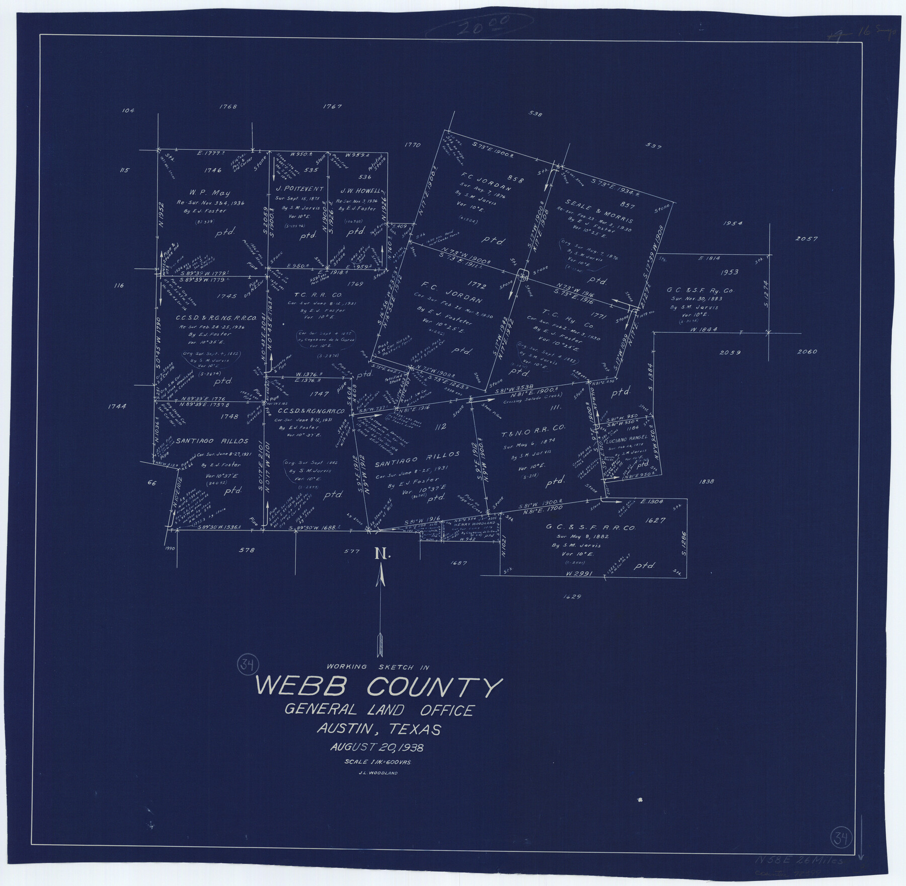
Webb County Working Sketch 34
-
Map/Doc
72399
-
Collection
General Map Collection
-
Object Dates
8/20/1938 (Creation Date)
-
People and Organizations
J.L. Woodland (Draftsman)
-
Counties
Webb
-
Subjects
Surveying Working Sketch
-
Height x Width
23.8 x 24.3 inches
60.5 x 61.7 cm
-
Scale
1" = 600 varas
Part of: General Map Collection
Matagorda County Working Sketch 13

Print $20.00
- Digital $50.00
Matagorda County Working Sketch 13
1949
Size 41.5 x 35.7 inches
Map/Doc 70871
Cass County Working Sketch 35

Print $20.00
- Digital $50.00
Cass County Working Sketch 35
1982
Size 23.5 x 44.8 inches
Map/Doc 67938
Tabular exhibit of the land occupied by the roadbed of the Galveston, Harrisburg and San Antonio Railway in El Paso County, Texas

Print $20.00
- Digital $50.00
Tabular exhibit of the land occupied by the roadbed of the Galveston, Harrisburg and San Antonio Railway in El Paso County, Texas
Size 12.7 x 8.2 inches
Map/Doc 64499
Lamar County Working Sketch 11

Print $20.00
- Digital $50.00
Lamar County Working Sketch 11
1980
Size 19.8 x 16.9 inches
Map/Doc 70272
Right of Way and Track Map, International & Gt. Northern Ry. Operated by the International & Gt. Northern Ry. Co., Gulf Division

Print $40.00
- Digital $50.00
Right of Way and Track Map, International & Gt. Northern Ry. Operated by the International & Gt. Northern Ry. Co., Gulf Division
1917
Size 25.1 x 56.6 inches
Map/Doc 64252

Flight Mission No. CRC-3R, Frame 38, Chambers County

Print $20.00
- Digital $50.00
Flight Mission No. CRC-3R, Frame 38, Chambers County
1956
Size 18.7 x 22.4 inches
Map/Doc 84811
Webb County Rolled Sketch 79

Print $20.00
- Digital $50.00
Webb County Rolled Sketch 79
2020
Size 35.7 x 24.9 inches
Map/Doc 95916
Jefferson County Working Sketch 17

Print $20.00
- Digital $50.00
Jefferson County Working Sketch 17
1954
Size 47.1 x 30.3 inches
Map/Doc 66560
Galveston County Rolled Sketch JK

Print $40.00
- Digital $50.00
Galveston County Rolled Sketch JK
1913
Size 25.4 x 56.5 inches
Map/Doc 9092
Mitchell County Rolled Sketch 4

Print $20.00
- Digital $50.00
Mitchell County Rolled Sketch 4
Size 32.6 x 41.4 inches
Map/Doc 6785
Austin County Sketch File 10

Print $40.00
- Digital $50.00
Austin County Sketch File 10
1895
Size 25.5 x 21.0 inches
Map/Doc 10875
You may also like
El Paso County Rolled Sketch 2A

Print $20.00
- Digital $50.00
El Paso County Rolled Sketch 2A
1889
Size 24.1 x 32.8 inches
Map/Doc 5821
San Patricio County Rolled Sketch 40

Print $20.00
- Digital $50.00
San Patricio County Rolled Sketch 40
1917
Size 26.0 x 36.0 inches
Map/Doc 7726
[Potter County Blocks 25, P&Mc, O18, G&M2]
![93215, [Potter County Blocks 25, P&Mc, O18, G&M2], Twichell Survey Records](https://historictexasmaps.com/wmedia_w700/maps/93215-1.tif.jpg)
Print $20.00
- Digital $50.00
[Potter County Blocks 25, P&Mc, O18, G&M2]
Size 28.7 x 19.2 inches
Map/Doc 93215
Lee County Working Sketch 4

Print $20.00
- Digital $50.00
Lee County Working Sketch 4
1973
Size 17.1 x 18.4 inches
Map/Doc 70383
Coke County Boundary File 2

Print $64.00
- Digital $50.00
Coke County Boundary File 2
Size 49.0 x 9.0 inches
Map/Doc 51580

[Sketch showing Potter County Block 2] / [Sketch showing F. W. & D. C. Round House]
![91710, [Sketch showing Potter County Block 2] / [Sketch showing F. W. & D. C. Round House], Twichell Survey Records](https://historictexasmaps.com/wmedia_w700/maps/91710-1.tif.jpg)
Print $20.00
- Digital $50.00
[Sketch showing Potter County Block 2] / [Sketch showing F. W. & D. C. Round House]
Size 14.6 x 12.1 inches
Map/Doc 91710
Flight Mission No. DQN-2K, Frame 65, Calhoun County

Print $20.00
- Digital $50.00
Flight Mission No. DQN-2K, Frame 65, Calhoun County
1953
Size 18.5 x 22.2 inches
Map/Doc 84257
Webb County Rolled Sketch D

Print $20.00
- Digital $50.00
Webb County Rolled Sketch D
1897
Size 25.4 x 40.6 inches
Map/Doc 8222
Coke County Sketch File 1

Print $8.00
- Digital $50.00
Coke County Sketch File 1
1858
Size 8.3 x 7.7 inches
Map/Doc 18562
Hardin County Sketch File 31

Print $2.00
- Digital $50.00
Hardin County Sketch File 31
Size 8.5 x 7.1 inches
Map/Doc 25162
Gray County Sketch File A

Print $20.00
- Digital $50.00
Gray County Sketch File A
1889
Size 14.2 x 14.6 inches
Map/Doc 24456