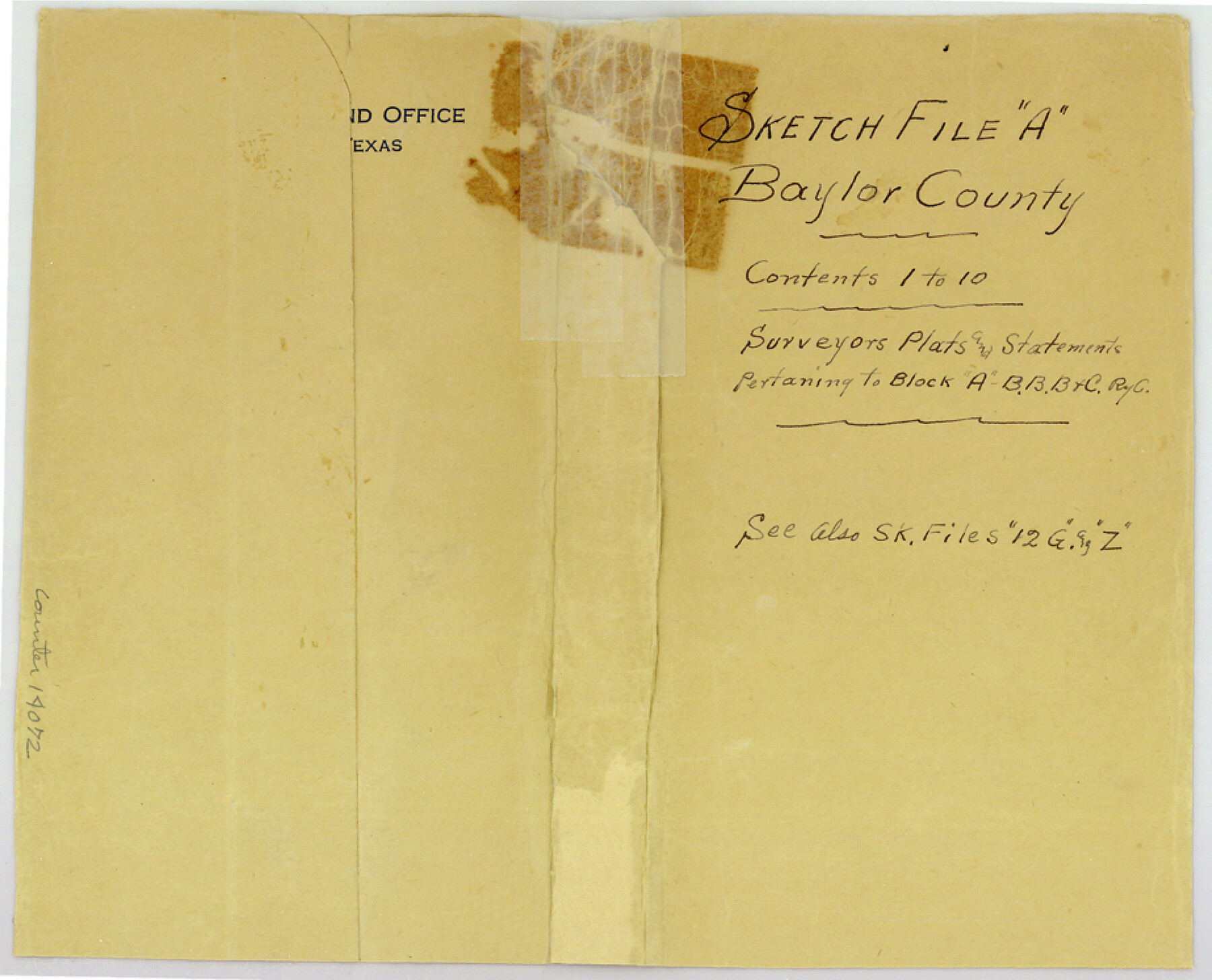
Baylor County Sketch File A
[Office sketch of surveys on the Brazos River southeast of Seymour]
-
Map/Doc
14072
-
Collection
General Map Collection
-
Counties
Baylor
-
Subjects
Surveying Sketch File
-
Height x Width
7.5 x 9.2 inches
19.1 x 23.4 cm
-
Medium
paper, manuscript
-
Features
Brazos River
Part of: General Map Collection
Flight Mission No. CUG-1P, Frame 164, Kleberg County

Print $20.00
- Digital $50.00
Flight Mission No. CUG-1P, Frame 164, Kleberg County
1956
Size 18.5 x 22.2 inches
Map/Doc 86171
Nacogdoches County Sketch File 18

Print $4.00
- Digital $50.00
Nacogdoches County Sketch File 18
1846
Size 6.0 x 9.4 inches
Map/Doc 32268
Wharton County Working Sketch 14

Print $20.00
- Digital $50.00
Wharton County Working Sketch 14
1961
Size 26.5 x 24.9 inches
Map/Doc 72478
Galveston County NRC Article 33.136 Location Key Sheet

Print $20.00
- Digital $50.00
Galveston County NRC Article 33.136 Location Key Sheet
1994
Size 27.0 x 21.8 inches
Map/Doc 77019
Brewster County Rolled Sketch 101

Print $20.00
- Digital $50.00
Brewster County Rolled Sketch 101
1944
Size 34.6 x 42.4 inches
Map/Doc 8924
Aransas County Rolled Sketch 15C

Print $3.00
- Digital $50.00
Aransas County Rolled Sketch 15C
Size 10.2 x 17.6 inches
Map/Doc 76067
San Augustine County Rolled Sketch 2

Print $20.00
- Digital $50.00
San Augustine County Rolled Sketch 2
1947
Size 29.1 x 23.1 inches
Map/Doc 7554
Randall County Rolled Sketch 3

Print $20.00
- Digital $50.00
Randall County Rolled Sketch 3
Size 22.0 x 24.9 inches
Map/Doc 7423
Crane County Working Sketch 2

Print $20.00
- Digital $50.00
Crane County Working Sketch 2
1924
Size 31.6 x 34.5 inches
Map/Doc 68279
United States - Gulf Coast - Padre I. and Laguna Madre Lat. 27° 12' to Lat. 26° 33' Texas

Print $20.00
- Digital $50.00
United States - Gulf Coast - Padre I. and Laguna Madre Lat. 27° 12' to Lat. 26° 33' Texas
1913
Size 27.0 x 18.2 inches
Map/Doc 72814
[Abstract Numbering Register - Donley through Karnes]
![82966, [Abstract Numbering Register - Donley through Karnes], General Map Collection](https://historictexasmaps.com/wmedia_w700/pdf_converted_jpg/qi_pdf_thumbnail_30613.jpg)
[Abstract Numbering Register - Donley through Karnes]
Map/Doc 82966
[Texas Panhandle North Boundary Line]

Print $20.00
- Digital $50.00
[Texas Panhandle North Boundary Line]
1898
Size 11.9 x 46.1 inches
Map/Doc 1737
You may also like
Flight Mission No. DQN-2K, Frame 32, Calhoun County

Print $20.00
- Digital $50.00
Flight Mission No. DQN-2K, Frame 32, Calhoun County
1953
Size 18.7 x 22.3 inches
Map/Doc 84239
Flight Mission No. BRE-2P, Frame 6, Nueces County

Print $20.00
- Digital $50.00
Flight Mission No. BRE-2P, Frame 6, Nueces County
1956
Size 18.6 x 22.6 inches
Map/Doc 86715
San Saba County

Print $20.00
- Digital $50.00
San Saba County
1918
Size 23.6 x 18.4 inches
Map/Doc 78397
St. L. S-W. Ry. of Texas Map of Hillsboro Branch in Navarro County, Texas M.P. 621 to M.P. 648

Print $40.00
- Digital $50.00
St. L. S-W. Ry. of Texas Map of Hillsboro Branch in Navarro County, Texas M.P. 621 to M.P. 648
1913
Size 28.0 x 431.2 inches
Map/Doc 94016
Flight Mission No. CLL-3N, Frame 40, Willacy County

Print $20.00
- Digital $50.00
Flight Mission No. CLL-3N, Frame 40, Willacy County
1954
Size 18.3 x 22.0 inches
Map/Doc 87098
Presidio County Sketch File P1

Print $4.00
- Digital $50.00
Presidio County Sketch File P1
Size 11.2 x 8.8 inches
Map/Doc 34556
Hopkins County Rolled Sketch 2

Print $40.00
- Digital $50.00
Hopkins County Rolled Sketch 2
1951
Size 41.6 x 51.8 inches
Map/Doc 9180
[T. C. RR. Co. Blocks 178, A1, G. C. & S. F. R. R. Co. Block C4, E. L. & R. R. RR C3]
![93214, [T. C. RR. Co. Blocks 178, A1, G. C. & S. F. R. R. Co. Block C4, E. L. & R. R. RR C3], Twichell Survey Records](https://historictexasmaps.com/wmedia_w700/maps/93214-1.tif.jpg)
Print $20.00
- Digital $50.00
[T. C. RR. Co. Blocks 178, A1, G. C. & S. F. R. R. Co. Block C4, E. L. & R. R. RR C3]
Size 40.1 x 28.7 inches
Map/Doc 93214
Flight Mission No. BRA-16M, Frame 99, Jefferson County

Print $20.00
- Digital $50.00
Flight Mission No. BRA-16M, Frame 99, Jefferson County
1953
Size 18.5 x 22.4 inches
Map/Doc 85711
Live Oak County Working Sketch 7

Print $20.00
- Digital $50.00
Live Oak County Working Sketch 7
1937
Size 24.9 x 37.6 inches
Map/Doc 70592
Sutton County Working Sketch 45

Print $20.00
- Digital $50.00
Sutton County Working Sketch 45
1951
Size 33.4 x 26.5 inches
Map/Doc 62388
Harrison County Sketch File 15

Print $20.00
- Digital $50.00
Harrison County Sketch File 15
Size 23.2 x 23.0 inches
Map/Doc 11690