Hopkins County Rolled Sketch 2
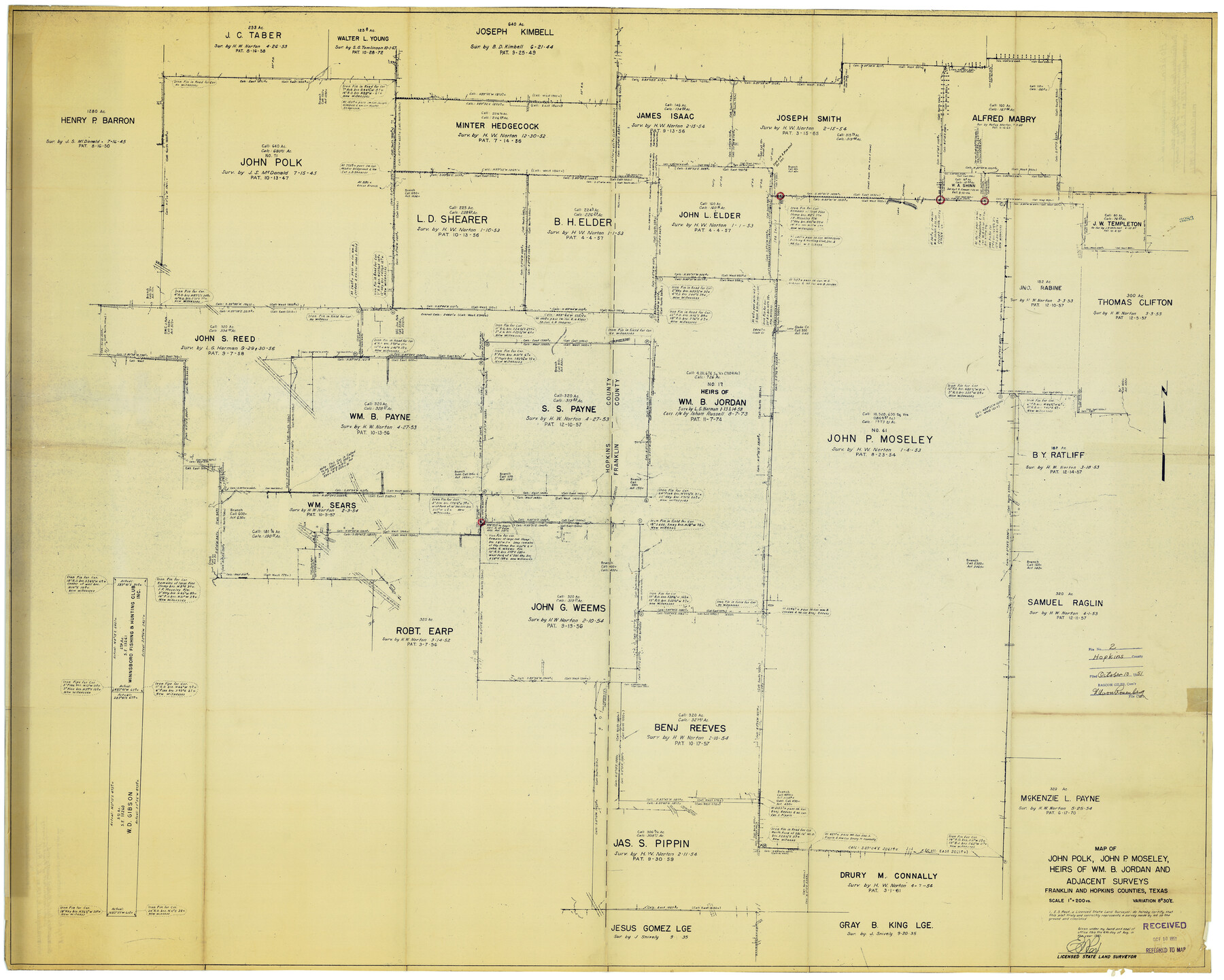
Map of John Polk, John P. Moseley, Heirs of Wm. B. Jordan and adjacent surveys
-
Map/Doc
9180
-
Collection
General Map Collection
-
Object Dates
8/6/1951 (Creation Date)
10/24/1951 (File Date)
-
People and Organizations
E.S. Rest (Surveyor/Engineer)
-
Counties
Hopkins Franklin
-
Subjects
Surveying Rolled Sketch
-
Height x Width
41.6 x 51.8 inches
105.7 x 131.6 cm
-
Medium
blueprint/diazo
Part of: General Map Collection
Deaf Smith County Boundary File 1

Print $124.00
- Digital $50.00
Deaf Smith County Boundary File 1
Size 14.1 x 8.6 inches
Map/Doc 52372
Howard County Sketch File 11

Print $40.00
- Digital $50.00
Howard County Sketch File 11
1937
Size 17.6 x 10.2 inches
Map/Doc 26865
Oldham County Rolled Sketch 8

Print $20.00
- Digital $50.00
Oldham County Rolled Sketch 8
1931
Size 39.2 x 29.0 inches
Map/Doc 7174
Rusk County Sketch File 29

Print $8.00
Rusk County Sketch File 29
1949
Size 11.3 x 8.7 inches
Map/Doc 35554
Travis County Sketch File 40

Print $20.00
- Digital $50.00
Travis County Sketch File 40
1928
Size 17.7 x 22.8 inches
Map/Doc 12464
Callahan County Working Sketch 4

Print $20.00
- Digital $50.00
Callahan County Working Sketch 4
1953
Size 17.1 x 27.0 inches
Map/Doc 67886
Flight Mission No. DIX-5P, Frame 111, Aransas County

Print $20.00
- Digital $50.00
Flight Mission No. DIX-5P, Frame 111, Aransas County
1956
Size 17.6 x 18.0 inches
Map/Doc 83790
Sketch of State University Lands and Connections in El Paso Co.

Print $20.00
- Digital $50.00
Sketch of State University Lands and Connections in El Paso Co.
1900
Size 33.1 x 32.4 inches
Map/Doc 2427
Hardin County Sketch File 54

Print $20.00
- Digital $50.00
Hardin County Sketch File 54
1924
Size 16.6 x 17.9 inches
Map/Doc 11635
Refugio County Sketch File 24

Print $12.00
- Digital $50.00
Refugio County Sketch File 24
1954
Size 14.4 x 8.9 inches
Map/Doc 35283
Map of Hill County

Print $40.00
- Digital $50.00
Map of Hill County
1884
Size 80.0 x 36.8 inches
Map/Doc 93378
Kimble County Rolled Sketch 42

Print $20.00
- Digital $50.00
Kimble County Rolled Sketch 42
1995
Size 37.7 x 47.8 inches
Map/Doc 9341
You may also like

Sutton County Sketch File 61

Print $14.00
- Digital $50.00
Sutton County Sketch File 61
1986
Size 11.2 x 8.9 inches
Map/Doc 37557
El Paso County Sketch File 20

Print $40.00
- Digital $50.00
El Paso County Sketch File 20
Size 31.4 x 49.4 inches
Map/Doc 10447
Galveston Co., 1891

Print $40.00
- Digital $50.00
Galveston Co., 1891
1891
Size 37.9 x 54.1 inches
Map/Doc 7822
Wise County Rolled Sketch 8

Print $20.00
- Digital $50.00
Wise County Rolled Sketch 8
Size 24.0 x 36.0 inches
Map/Doc 93554
Wise County Sketch File 34

Print $6.00
- Digital $50.00
Wise County Sketch File 34
1856
Size 6.3 x 9.6 inches
Map/Doc 40592
Sutton County Sketch File E2

Print $20.00
- Digital $50.00
Sutton County Sketch File E2
Size 16.8 x 19.0 inches
Map/Doc 12397
Gray County Boundary File 5

Print $6.00
- Digital $50.00
Gray County Boundary File 5
Size 11.9 x 9.4 inches
Map/Doc 53893
Township No. 1 South Range No. 20 West of the Indian Meridian

Print $20.00
- Digital $50.00
Township No. 1 South Range No. 20 West of the Indian Meridian
1875
Size 19.3 x 24.4 inches
Map/Doc 75179
Runnels County Rolled Sketch 18

Print $20.00
- Digital $50.00
Runnels County Rolled Sketch 18
Size 23.1 x 25.3 inches
Map/Doc 7513
Borden - Garza County Line as agreed upon in the 118th Judicial District Court, Howard County, Texas Case No. 13,023

Print $40.00
- Digital $50.00
Borden - Garza County Line as agreed upon in the 118th Judicial District Court, Howard County, Texas Case No. 13,023
1965
Size 19.0 x 102.2 inches
Map/Doc 1697
Hays County Sketch File 9

Print $6.00
- Digital $50.00
Hays County Sketch File 9
Size 9.6 x 16.2 inches
Map/Doc 26212