Coke County Sketch File 16
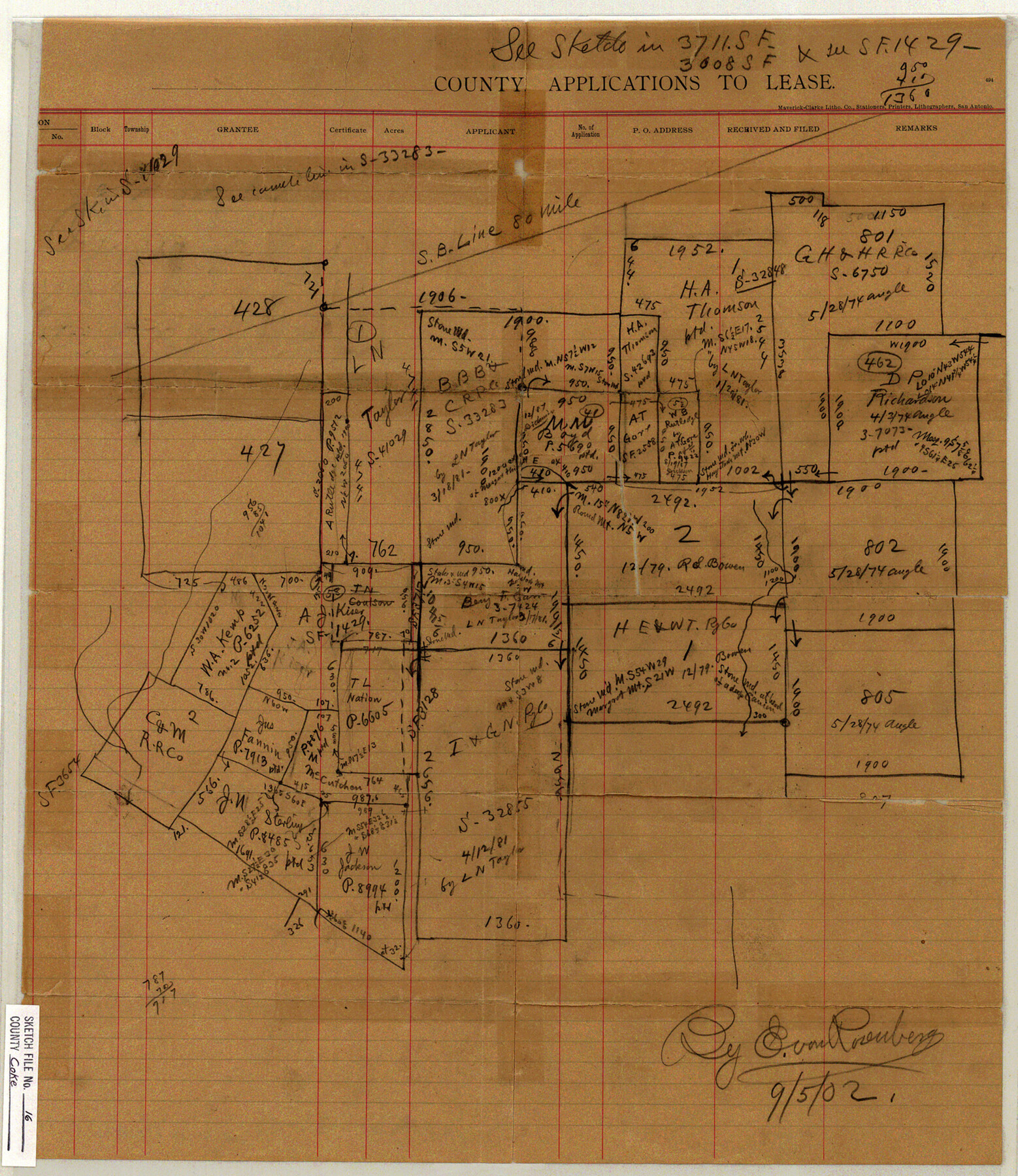
[Office sketch of area between the south boundary line of the 80 mile reservation and the Colorado River, east of Robert Lee and extending into Runnels County]
-
Map/Doc
11108
-
Collection
General Map Collection
-
Object Dates
1902/9/5 (Creation Date)
1902/9/5 (File Date)
-
People and Organizations
E. von Rosenberg (Draftsman)
-
Counties
Coke Runnels
-
Subjects
Surveying Sketch File
-
Height x Width
18.7 x 16.2 inches
47.5 x 41.1 cm
-
Medium
paper, manuscript
Part of: General Map Collection
Harris County Historic Topographic 26

Print $20.00
- Digital $50.00
Harris County Historic Topographic 26
1916
Size 29.2 x 22.8 inches
Map/Doc 65837
Cameron County Rolled Sketch US2

Print $168.00
- Digital $50.00
Cameron County Rolled Sketch US2
1913
Size 10.4 x 16.3 inches
Map/Doc 43804
Travis County Sketch File 73

Print $4.00
- Digital $50.00
Travis County Sketch File 73
1847
Size 13.0 x 8.3 inches
Map/Doc 38462
Trinity County Sketch File 3

Print $24.00
- Digital $50.00
Trinity County Sketch File 3
Size 12.6 x 15.0 inches
Map/Doc 38498
Bandera County Boundary File 4b

Print $16.00
- Digital $50.00
Bandera County Boundary File 4b
Size 13.0 x 8.1 inches
Map/Doc 50281
Flight Mission No. BQR-7K, Frame 25, Brazoria County

Print $20.00
- Digital $50.00
Flight Mission No. BQR-7K, Frame 25, Brazoria County
1952
Size 18.8 x 22.3 inches
Map/Doc 84023
Howard County Boundary File 2c

Print $44.00
- Digital $50.00
Howard County Boundary File 2c
Size 5.0 x 8.9 inches
Map/Doc 55126
Howard County Sketch File 16

Print $40.00
- Digital $50.00
Howard County Sketch File 16
1947
Size 19.7 x 9.0 inches
Map/Doc 26878
Wheeler County Rolled Sketch 1

Print $20.00
- Digital $50.00
Wheeler County Rolled Sketch 1
1941
Size 43.9 x 23.7 inches
Map/Doc 10136
Castro County Working Sketch 6

Print $20.00
- Digital $50.00
Castro County Working Sketch 6
1975
Size 28.4 x 26.4 inches
Map/Doc 67901
Hudspeth County Rolled Sketch 18

Print $40.00
- Digital $50.00
Hudspeth County Rolled Sketch 18
1886
Size 15.7 x 105.0 inches
Map/Doc 9204
Schleicher County Working Sketch 22

Print $20.00
- Digital $50.00
Schleicher County Working Sketch 22
1953
Size 26.2 x 15.3 inches
Map/Doc 63824
You may also like
Ward County Rolled Sketch 24E

Print $40.00
- Digital $50.00
Ward County Rolled Sketch 24E
1967
Size 42.3 x 64.9 inches
Map/Doc 10116
Orange County Working Sketch 26

Print $20.00
- Digital $50.00
Orange County Working Sketch 26
1953
Size 13.4 x 22.0 inches
Map/Doc 71358

Matagorda County Sketch File 27

Print $60.00
- Digital $50.00
Matagorda County Sketch File 27
1908
Size 11.8 x 15.7 inches
Map/Doc 30803
Reagan County Working Sketch 10

Print $20.00
- Digital $50.00
Reagan County Working Sketch 10
1942
Size 21.5 x 27.2 inches
Map/Doc 71850
Aransas County Working Sketch 21

Print $20.00
- Digital $50.00
Aransas County Working Sketch 21
1980
Size 17.0 x 36.2 inches
Map/Doc 67188
Travis County Rolled Sketch 41

Print $20.00
- Digital $50.00
Travis County Rolled Sketch 41
Size 31.3 x 24.7 inches
Map/Doc 8039
Leon County Rolled Sketch 17

Print $20.00
- Digital $50.00
Leon County Rolled Sketch 17
Size 20.5 x 24.7 inches
Map/Doc 6603
Culberson County Working Sketch 74

Print $40.00
- Digital $50.00
Culberson County Working Sketch 74
1975
Size 51.4 x 35.5 inches
Map/Doc 68528

Lipscomb County Working Sketch 2

Print $20.00
- Digital $50.00
Lipscomb County Working Sketch 2
1959
Size 33.4 x 36.6 inches
Map/Doc 70578
University of Texas Land Survey Isogonic Chart and Graph of Meridian Changes on University Lands Principally in Andrews County, Texas

Print $20.00
- Digital $50.00
University of Texas Land Survey Isogonic Chart and Graph of Meridian Changes on University Lands Principally in Andrews County, Texas
Size 15.0 x 18.4 inches
Map/Doc 62947