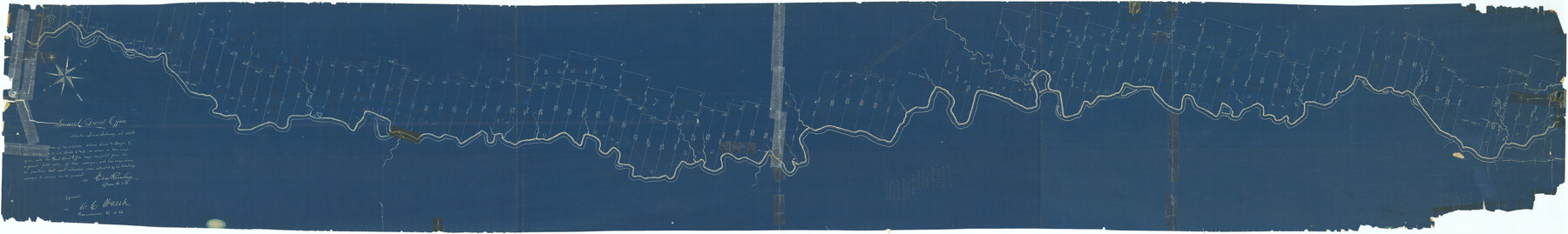
Hudspeth County Rolled Sketch 18
[Sketch showing the relative positions of the vacancies between T. & P. Ry. Blocks 2 & 3 and Blocks 3 & 4]
-
Map/Doc
9204
-
Collection
General Map Collection
-
Object Dates
1886/2/18 (Creation Date)
1886/6/10 (File Date)
-
Counties
Hudspeth
-
Subjects
Surveying Rolled Sketch
-
Height x Width
15.7 x 105.0 inches
39.9 x 266.7 cm
-
Medium
blueprint/diazo
Part of: General Map Collection
Colorado River, Shoal Creek from 12th to 34th Street/Austin, Texas

Print $40.00
- Digital $50.00
Colorado River, Shoal Creek from 12th to 34th Street/Austin, Texas
1929
Size 61.5 x 28.6 inches
Map/Doc 65327
Lampasas County Working Sketch 14

Print $20.00
- Digital $50.00
Lampasas County Working Sketch 14
1974
Size 23.4 x 21.8 inches
Map/Doc 70291
Garza County Rolled Sketch R1

Print $40.00
- Digital $50.00
Garza County Rolled Sketch R1
Size 32.1 x 49.3 inches
Map/Doc 9045
Flight Mission No. CRC-2R, Frame 122, Chambers County

Print $20.00
- Digital $50.00
Flight Mission No. CRC-2R, Frame 122, Chambers County
1956
Size 18.9 x 22.5 inches
Map/Doc 84746
Crockett County Sketch File 28

Print $10.00
- Digital $50.00
Crockett County Sketch File 28
1884
Size 13.1 x 8.9 inches
Map/Doc 19722
![94190, California [Recto], General Map Collection](https://historictexasmaps.com/wmedia_w700/maps/94190.tif.jpg)
Flight Mission No. DQO-3K, Frame 24, Galveston County

Print $20.00
- Digital $50.00
Flight Mission No. DQO-3K, Frame 24, Galveston County
1952
Size 18.7 x 22.4 inches
Map/Doc 85065
Henderson County Working Sketch 33

Print $20.00
- Digital $50.00
Henderson County Working Sketch 33
1963
Size 31.2 x 29.3 inches
Map/Doc 66166
![3295, [Bell County], General Map Collection](https://historictexasmaps.com/wmedia_w700/maps/3295-1.tif.jpg)

Winkler County Working Sketch 6

Print $20.00
- Digital $50.00
Winkler County Working Sketch 6
1957
Size 34.5 x 31.5 inches
Map/Doc 72600
Karnes County Sketch File 12

Print $14.00
- Digital $50.00
Karnes County Sketch File 12
1889
Size 12.7 x 8.0 inches
Map/Doc 28604
You may also like
Sterling County Sketch File 6

Print $12.00
- Digital $50.00
Sterling County Sketch File 6
1912
Size 5.7 x 8.8 inches
Map/Doc 37115
Fisher County Working Sketch 12

Print $20.00
- Digital $50.00
Fisher County Working Sketch 12
1956
Size 25.2 x 23.2 inches
Map/Doc 69146
San Patricio County Sketch File 11

Print $6.00
San Patricio County Sketch File 11
1846
Size 13.3 x 8.3 inches
Map/Doc 36044
Amistad International Reservoir on Rio Grande 85

Print $20.00
- Digital $50.00
Amistad International Reservoir on Rio Grande 85
1949
Size 28.4 x 40.2 inches
Map/Doc 75514
Hays County Working Sketch 13

Print $20.00
- Digital $50.00
Hays County Working Sketch 13
1952
Size 24.2 x 35.0 inches
Map/Doc 66087
Jim Hogg County Boundary File 2

Print $4.00
- Digital $50.00
Jim Hogg County Boundary File 2
Size 10.6 x 8.7 inches
Map/Doc 55527
[Surveys in Austin's Colony near La Bahia Road]
![200, [Surveys in Austin's Colony near La Bahia Road], General Map Collection](https://historictexasmaps.com/wmedia_w700/maps/200.tif.jpg)
Print $20.00
- Digital $50.00
[Surveys in Austin's Colony near La Bahia Road]
1821
Size 10.4 x 20.2 inches
Map/Doc 200
Red River County Working Sketch 68

Print $20.00
- Digital $50.00
Red River County Working Sketch 68
1975
Size 20.8 x 26.0 inches
Map/Doc 72051
Flight Mission No. DIX-8P, Frame 86, Aransas County

Print $20.00
- Digital $50.00
Flight Mission No. DIX-8P, Frame 86, Aransas County
1956
Size 18.4 x 22.3 inches
Map/Doc 83911
Harris County NRC Article 33.136 Sketch 14

Print $50.00
- Digital $50.00
Harris County NRC Article 33.136 Sketch 14
Size 24.0 x 36.0 inches
Map/Doc 94816
Moore County Rolled Sketch 3

Print $20.00
- Digital $50.00
Moore County Rolled Sketch 3
Size 12.3 x 15.3 inches
Map/Doc 6823
Mason County Sketch File 24

Print $22.00
- Digital $50.00
Mason County Sketch File 24
1959
Size 15.0 x 15.2 inches
Map/Doc 30726