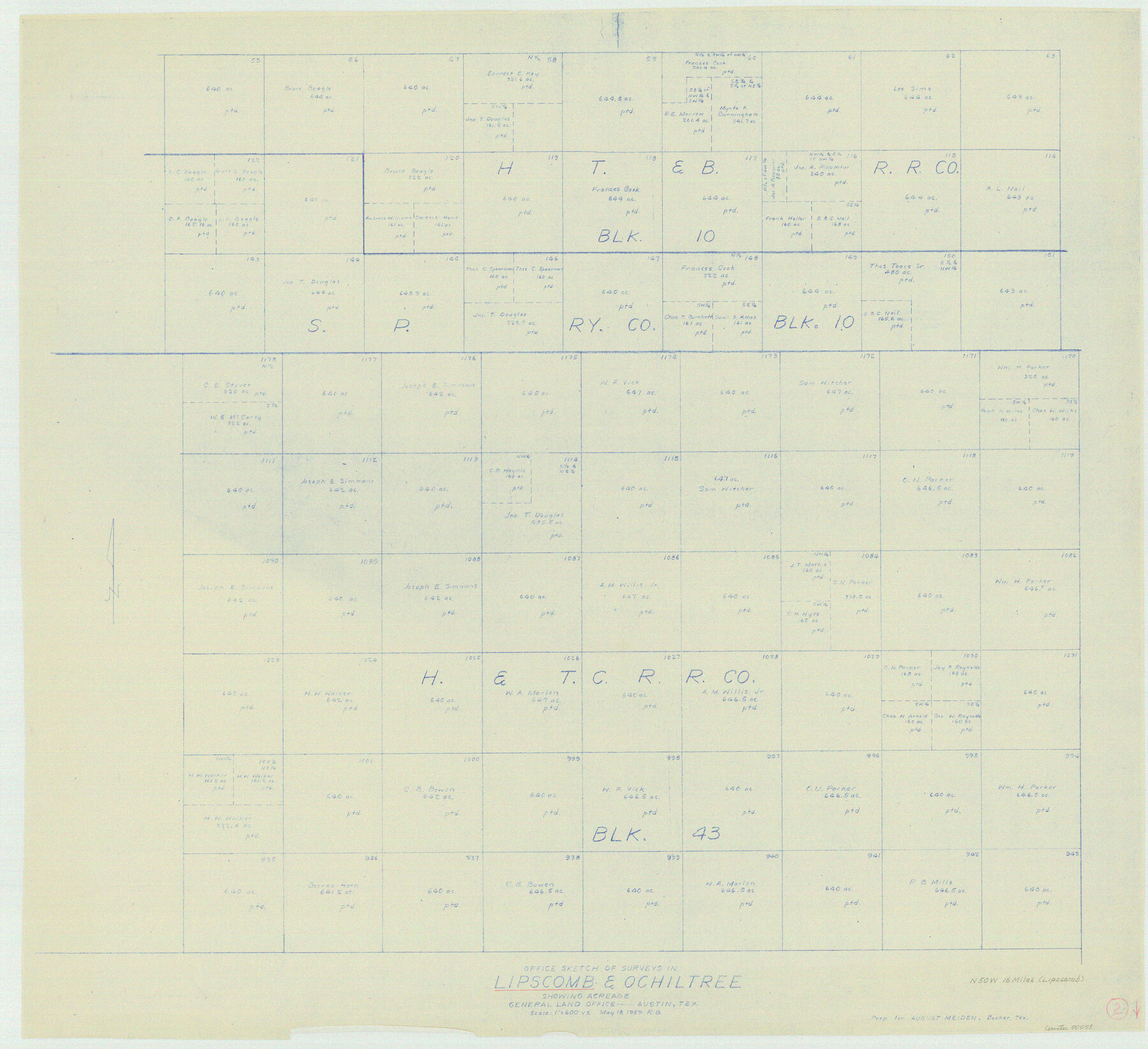
Lipscomb County Working Sketch 2
-
Map/Doc
70578
-
Collection
General Map Collection
-
Object Dates
5/18/1959 (Creation Date)
-
People and Organizations
Roy Buckholts (Draftsman)
-
Counties
Lipscomb Ochiltree
-
Subjects
Surveying Working Sketch
-
Height x Width
33.4 x 36.6 inches
84.8 x 93.0 cm
-
Scale
1" = 600 varas
Part of: General Map Collection
Flight Mission No. CRC-3R, Frame 25, Chambers County

Print $20.00
- Digital $50.00
Flight Mission No. CRC-3R, Frame 25, Chambers County
1956
Size 18.5 x 22.3 inches
Map/Doc 84799
Pecos County Rolled Sketch 164

Print $20.00
- Digital $50.00
Pecos County Rolled Sketch 164
1965
Size 30.2 x 20.1 inches
Map/Doc 7287
Fisher County Rolled Sketch 5

Print $20.00
- Digital $50.00
Fisher County Rolled Sketch 5
1961
Size 39.1 x 33.7 inches
Map/Doc 8890
Louisiana and Texas Intracoastal Waterway - Gilchrist to Port Bolivar, Maintenance Dredging - Sheet 2

Print $20.00
- Digital $50.00
Louisiana and Texas Intracoastal Waterway - Gilchrist to Port Bolivar, Maintenance Dredging - Sheet 2
1937
Size 31.0 x 40.8 inches
Map/Doc 61821
Brazoria County Sketch File 52

Print $6.00
- Digital $50.00
Brazoria County Sketch File 52
Size 14.5 x 8.0 inches
Map/Doc 15313
Flight Mission No. DAG-14K, Frame 135, Matagorda County

Print $20.00
- Digital $50.00
Flight Mission No. DAG-14K, Frame 135, Matagorda County
1952
Size 17.7 x 17.5 inches
Map/Doc 86306
Crockett County Rolled Sketch 23

Print $20.00
- Digital $50.00
Crockett County Rolled Sketch 23
1924
Size 34.2 x 26.6 inches
Map/Doc 5583
Map of Corpus Christi Bay in Nueces County Showing Subdivision for Mineral Development

Print $40.00
- Digital $50.00
Map of Corpus Christi Bay in Nueces County Showing Subdivision for Mineral Development
1950
Size 49.3 x 37.2 inches
Map/Doc 3129
Flight Mission No. CLL-1N, Frame 88, Willacy County

Print $20.00
- Digital $50.00
Flight Mission No. CLL-1N, Frame 88, Willacy County
1954
Size 18.4 x 22.1 inches
Map/Doc 87034
Mason County Sketch File 17

Print $4.00
- Digital $50.00
Mason County Sketch File 17
Size 8.4 x 12.4 inches
Map/Doc 30705
Aransas County NRC Article 33.136 Location Key Sheet

Print $20.00
- Digital $50.00
Aransas County NRC Article 33.136 Location Key Sheet
1979
Size 27.0 x 23.0 inches
Map/Doc 87905
Chart of the Harbour of San [Luis]
![72762, Chart of the Harbour of San [Luis], General Map Collection](https://historictexasmaps.com/wmedia_w700/maps/72762.tif.jpg)
Print $20.00
- Digital $50.00
Chart of the Harbour of San [Luis]
1846
Size 27.2 x 18.2 inches
Map/Doc 72762
You may also like
Borden County Sketch File 4

Print $24.00
- Digital $50.00
Borden County Sketch File 4
1903
Size 8.8 x 7.8 inches
Map/Doc 14707
Yoakum County Sketch File 10b

Print $20.00
- Digital $50.00
Yoakum County Sketch File 10b
Size 22.4 x 15.8 inches
Map/Doc 12707
McCulloch County

Print $40.00
- Digital $50.00
McCulloch County
1904
Size 50.0 x 37.3 inches
Map/Doc 7823
Tarrant County Sketch File 10

Print $8.00
- Digital $50.00
Tarrant County Sketch File 10
1859
Size 12.9 x 8.4 inches
Map/Doc 37694
Coryell County Working Sketch 30

Print $20.00
- Digital $50.00
Coryell County Working Sketch 30
2001
Size 37.1 x 38.7 inches
Map/Doc 68237
Hardeman County

Print $20.00
- Digital $50.00
Hardeman County
1876
Size 24.1 x 31.5 inches
Map/Doc 3625
Map of Coleman County

Print $40.00
- Digital $50.00
Map of Coleman County
1897
Size 49.9 x 34.2 inches
Map/Doc 4741
Interfaith's Official Map: The Woodlands, a real hometown for people and companies

Interfaith's Official Map: The Woodlands, a real hometown for people and companies
1997
Size 22.4 x 36.5 inches
Map/Doc 94286
Tarrant County Working Sketch 23

Print $20.00
- Digital $50.00
Tarrant County Working Sketch 23
2001
Size 15.9 x 15.6 inches
Map/Doc 62440
Cooke County Rolled Sketch 1

Print $20.00
- Digital $50.00
Cooke County Rolled Sketch 1
1940
Size 26.2 x 15.8 inches
Map/Doc 5560
Ochiltree County Sketch File 12

Print $24.00
- Digital $50.00
Ochiltree County Sketch File 12
1990
Size 11.2 x 8.5 inches
Map/Doc 33201
Henderson County

Print $40.00
- Digital $50.00
Henderson County
1988
Size 30.8 x 63.0 inches
Map/Doc 77310