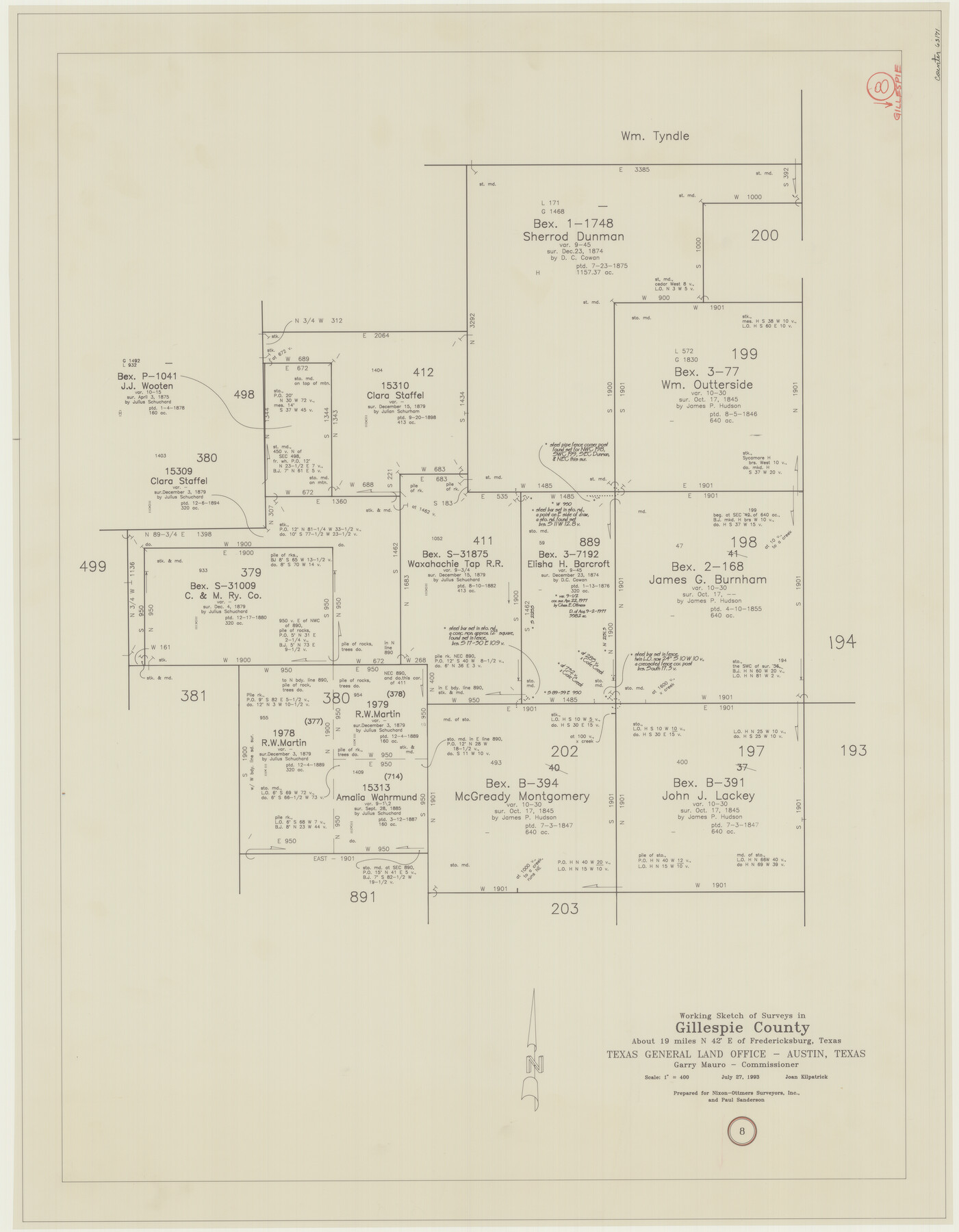
Gillespie County Working Sketch 8
-
Map/Doc
63171
-
Collection
General Map Collection
-
Object Dates
7/27/1993 (Creation Date)
-
People and Organizations
Joan Kilpatrick (Draftsman)
-
Counties
Gillespie
-
Subjects
Surveying Working Sketch
-
Height x Width
31.1 x 24.2 inches
79.0 x 61.5 cm
-
Scale
1" = 400 varas
Part of: General Map Collection
Hardin County Sketch File 55

Print $40.00
- Digital $50.00
Hardin County Sketch File 55
1924
Size 14.2 x 13.3 inches
Map/Doc 25220
Colorado County Working Sketch 17

Print $20.00
- Digital $50.00
Colorado County Working Sketch 17
1952
Size 36.4 x 30.2 inches
Map/Doc 68117
Coke County Working Sketch 16

Print $20.00
- Digital $50.00
Coke County Working Sketch 16
1948
Size 23.4 x 24.5 inches
Map/Doc 68053
Flight Mission No. DAG-21K, Frame 117, Matagorda County

Print $20.00
- Digital $50.00
Flight Mission No. DAG-21K, Frame 117, Matagorda County
1952
Size 18.5 x 22.4 inches
Map/Doc 86440
Pecos County Working Sketch 86

Print $20.00
- Digital $50.00
Pecos County Working Sketch 86
1962
Size 39.0 x 32.7 inches
Map/Doc 71558
Live Oak County Working Sketch 2

Print $20.00
- Digital $50.00
Live Oak County Working Sketch 2
1891
Size 17.9 x 18.2 inches
Map/Doc 70587
Jasper County Sketch File 8 and 9

Print $80.00
- Digital $50.00
Jasper County Sketch File 8 and 9
Size 8.2 x 6.9 inches
Map/Doc 27777
Flight Mission No. BRE-1P, Frame 70, Nueces County

Print $20.00
- Digital $50.00
Flight Mission No. BRE-1P, Frame 70, Nueces County
1956
Size 18.3 x 22.1 inches
Map/Doc 86652

Bastrop County Rolled Sketch 1

Print $20.00
- Digital $50.00
Bastrop County Rolled Sketch 1
Size 30.0 x 23.9 inches
Map/Doc 5121
Fisher County Sketch File 4

Print $33.00
- Digital $50.00
Fisher County Sketch File 4
Size 11.4 x 9.2 inches
Map/Doc 22557
Marion County Sketch File 1a

Print $3.00
- Digital $50.00
Marion County Sketch File 1a
1867
Size 17.4 x 7.7 inches
Map/Doc 30559
You may also like
Angelina County

Print $40.00
- Digital $50.00
Angelina County
1945
Size 38.9 x 49.3 inches
Map/Doc 77200
[Southwest corner of Runnels County School Land League 3]
![91586, [Southwest corner of Runnels County School Land League 3], Twichell Survey Records](https://historictexasmaps.com/wmedia_w700/maps/91586-1.tif.jpg)
Print $2.00
- Digital $50.00
[Southwest corner of Runnels County School Land League 3]
1927
Size 14.2 x 8.7 inches
Map/Doc 91586
[Capitol Leagues 633- 664]
![91076, [Capitol Leagues 633- 664], Twichell Survey Records](https://historictexasmaps.com/wmedia_w700/maps/91076-1.tif.jpg)
Print $20.00
- Digital $50.00
[Capitol Leagues 633- 664]
Size 17.0 x 14.6 inches
Map/Doc 91076
Menard County Sketch File 10

Print $20.00
- Digital $50.00
Menard County Sketch File 10
1885
Size 32.5 x 18.0 inches
Map/Doc 12074
Garza County Boundary File 4

Print $22.00
- Digital $50.00
Garza County Boundary File 4
Size 14.5 x 9.0 inches
Map/Doc 53698
Pecos County Rolled Sketch 61

Print $20.00
- Digital $50.00
Pecos County Rolled Sketch 61
1925
Size 26.5 x 25.5 inches
Map/Doc 7233
Louisiana and Texas Intracoastal Waterway - Matagorda Bay to San Antonio Bay Dredging - Sheet 1

Print $20.00
- Digital $50.00
Louisiana and Texas Intracoastal Waterway - Matagorda Bay to San Antonio Bay Dredging - Sheet 1
1938
Size 31.1 x 41.3 inches
Map/Doc 61814
Palo Pinto County

Print $40.00
- Digital $50.00
Palo Pinto County
1941
Size 48.3 x 39.4 inches
Map/Doc 66966
Flight Mission No. CON-2R, Frame 114, Stonewall County

Print $20.00
- Digital $50.00
Flight Mission No. CON-2R, Frame 114, Stonewall County
1957
Size 18.3 x 22.0 inches
Map/Doc 86989
Old Miscellaneous File 3

Print $4.00
- Digital $50.00
Old Miscellaneous File 3
1839
Size 8.8 x 8.2 inches
Map/Doc 75414
Matagorda County NRC Article 33.136 Sketch 15

Print $42.00
- Digital $50.00
Matagorda County NRC Article 33.136 Sketch 15
Size 23.8 x 35.9 inches
Map/Doc 95739
Houston County Working Sketch 22

Print $20.00
- Digital $50.00
Houston County Working Sketch 22
1982
Size 31.2 x 44.1 inches
Map/Doc 66252