Pecos County Rolled Sketch 71
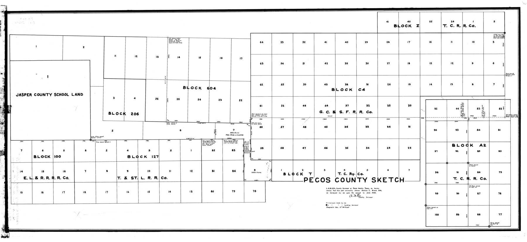
Pecos County Sketch [showing section 7, Block 206]
-
Map/Doc
9703
-
Collection
General Map Collection
-
Object Dates
1928 (Survey Date)
1928 (File Date)
-
People and Organizations
A.N. Lea (Surveyor/Engineer)
-
Counties
Pecos
-
Subjects
Surveying Rolled Sketch
-
Height x Width
21.9 x 47.6 inches
55.6 x 120.9 cm
Part of: General Map Collection
Collin County Texas

Print $20.00
- Digital $50.00
Collin County Texas
1895
Size 20.7 x 17.5 inches
Map/Doc 794
Nueces County Rolled Sketch 78

Print $53.00
Nueces County Rolled Sketch 78
1982
Size 18.2 x 24.9 inches
Map/Doc 6945
Flight Mission No. DQO-1K, Frame 145, Galveston County

Print $20.00
- Digital $50.00
Flight Mission No. DQO-1K, Frame 145, Galveston County
1952
Size 18.9 x 22.6 inches
Map/Doc 84998
Duval County Working Sketch 32

Print $20.00
- Digital $50.00
Duval County Working Sketch 32
1950
Size 18.8 x 18.0 inches
Map/Doc 68756
Flight Mission No. CUG-2P, Frame 86, Kleberg County

Print $20.00
- Digital $50.00
Flight Mission No. CUG-2P, Frame 86, Kleberg County
1956
Size 18.5 x 22.2 inches
Map/Doc 86218
Tom Green County Sketch File 65

Print $18.00
- Digital $50.00
Tom Green County Sketch File 65
1892
Size 13.3 x 8.4 inches
Map/Doc 38227
Map of Travis County

Print $40.00
- Digital $50.00
Map of Travis County
1895
Size 48.8 x 54.1 inches
Map/Doc 82083
Duval County Sketch File 8d

Print $4.00
- Digital $50.00
Duval County Sketch File 8d
1869
Size 10.8 x 8.9 inches
Map/Doc 21302
No. 3 Chart of Channel connecting Corpus Christi Bay with Aransas Bay, Texas

Print $20.00
- Digital $50.00
No. 3 Chart of Channel connecting Corpus Christi Bay with Aransas Bay, Texas
1878
Size 27.8 x 18.2 inches
Map/Doc 72778
Map of Bandera County

Print $40.00
- Digital $50.00
Map of Bandera County
1885
Size 31.6 x 63.9 inches
Map/Doc 4772
Throckmorton County Rolled Sketch 1

Print $20.00
- Digital $50.00
Throckmorton County Rolled Sketch 1
1927
Size 23.5 x 30.3 inches
Map/Doc 7984
Edwards County Sketch File 26

Print $4.00
- Digital $50.00
Edwards County Sketch File 26
1910
Size 11.5 x 9.2 inches
Map/Doc 21753
You may also like
Hamilton Dam, Reservoir Clearing

Print $4.00
- Digital $50.00
Hamilton Dam, Reservoir Clearing
1936
Size 10.5 x 28.9 inches
Map/Doc 2096
Tom Green County Sketch File 46

Print $82.00
- Digital $50.00
Tom Green County Sketch File 46
1883
Size 28.4 x 28.6 inches
Map/Doc 10402

Panola County Sketch File 4a

Print $4.00
- Digital $50.00
Panola County Sketch File 4a
1857
Size 12.2 x 7.6 inches
Map/Doc 33451
Briscoe County Sketch File 8

Print $6.00
- Digital $50.00
Briscoe County Sketch File 8
1896
Size 10.5 x 8.3 inches
Map/Doc 16417
Val Verde County Rolled Sketch 55

Print $20.00
- Digital $50.00
Val Verde County Rolled Sketch 55
1940
Size 32.0 x 23.3 inches
Map/Doc 8124
Van Zandt County Sketch File 36

Print $4.00
- Digital $50.00
Van Zandt County Sketch File 36
1864
Size 8.0 x 10.4 inches
Map/Doc 39478
Preliminary Chart No. 31 of the Sea Coast of the United States from Galveston Bay to Matagorda Bay, Texas

Print $20.00
- Digital $50.00
Preliminary Chart No. 31 of the Sea Coast of the United States from Galveston Bay to Matagorda Bay, Texas
1857
Size 23.3 x 28.1 inches
Map/Doc 69950
G. Woolworth Colton's new guide map of the United States & Canada, with railroads, counties, etc.

Print $20.00
G. Woolworth Colton's new guide map of the United States & Canada, with railroads, counties, etc.
1862
Size 30.3 x 36.6 inches
Map/Doc 93614
Fort Worth, Tex. "The Queen of the Prairies," County Seat of Tarrant County

Print $20.00
Fort Worth, Tex. "The Queen of the Prairies," County Seat of Tarrant County
1886
Size 26.0 x 33.3 inches
Map/Doc 89082
Power and Hewetson Empresario Colony. June 11, 1828

Print $20.00
Power and Hewetson Empresario Colony. June 11, 1828
2020
Size 17.5 x 21.7 inches
Map/Doc 96003
Fractional Township No. 8 South Range No. 2 West of the Indian Meridian, Indian Territory

Print $20.00
- Digital $50.00
Fractional Township No. 8 South Range No. 2 West of the Indian Meridian, Indian Territory
1898
Size 19.2 x 24.4 inches
Map/Doc 75196