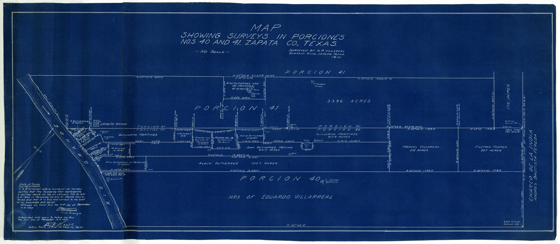
Zapata County Rolled Sketch 14
Map showing surveys in Porciones nos. 40 and 41, Zapata Co., Texas
-
Map/Doc
10168
-
Collection
General Map Collection
-
Object Dates
12/3/1925 (Creation Date)
1/16/1925 (Survey Date)
-
People and Organizations
A.R. Villareal (Surveyor/Engineer)
-
Counties
Zapata
-
Subjects
Surveying Rolled Sketch
-
Height x Width
19.2 x 43.7 inches
48.8 x 111.0 cm
-
Medium
blueprint/diazo
Part of: General Map Collection
Atascosa County Rolled Sketch 12

Print $40.00
- Digital $50.00
Atascosa County Rolled Sketch 12
1944
Size 33.3 x 68.8 inches
Map/Doc 8429
Dickens County Rolled Sketch 8

Print $20.00
- Digital $50.00
Dickens County Rolled Sketch 8
1953
Size 42.9 x 23.7 inches
Map/Doc 5707
Flight Mission No. DCL-6C, Frame 76, Kenedy County

Print $20.00
- Digital $50.00
Flight Mission No. DCL-6C, Frame 76, Kenedy County
1943
Size 18.6 x 22.3 inches
Map/Doc 85918

Brazoria County Working Sketch 30

Print $20.00
- Digital $50.00
Brazoria County Working Sketch 30
1974
Size 37.5 x 43.8 inches
Map/Doc 67515
Zavala County Working Sketch 14

Print $20.00
- Digital $50.00
Zavala County Working Sketch 14
1976
Size 20.0 x 12.9 inches
Map/Doc 62089
Flight Mission No. CRC-4R, Frame 175, Chambers County

Print $20.00
- Digital $50.00
Flight Mission No. CRC-4R, Frame 175, Chambers County
1956
Size 18.6 x 22.2 inches
Map/Doc 84926
Brazoria County Working Sketch 6

Print $20.00
- Digital $50.00
Brazoria County Working Sketch 6
1922
Size 16.8 x 24.0 inches
Map/Doc 67491
Duval County Working Sketch 7

Print $20.00
- Digital $50.00
Duval County Working Sketch 7
1935
Size 24.4 x 25.0 inches
Map/Doc 68720
Flight Mission No. CGI-3N, Frame 142, Cameron County

Print $20.00
- Digital $50.00
Flight Mission No. CGI-3N, Frame 142, Cameron County
1954
Size 18.7 x 22.3 inches
Map/Doc 84615
Kenedy County Sketch File 2

Print $130.00
- Digital $50.00
Kenedy County Sketch File 2
1995
Size 11.2 x 8.7 inches
Map/Doc 28773
Texas Intracoastal Waterway - Matagorda Bay, Cedar Lakes to Oyster Lake

Print $20.00
- Digital $50.00
Texas Intracoastal Waterway - Matagorda Bay, Cedar Lakes to Oyster Lake
1960
Size 27.2 x 38.9 inches
Map/Doc 73369
You may also like
Kenedy County Working Sketch 2b

Print $20.00
- Digital $50.00
Kenedy County Working Sketch 2b
1911
Size 17.7 x 33.3 inches
Map/Doc 70004
San Patricio County Rolled Sketch 47A

Print $20.00
- Digital $50.00
San Patricio County Rolled Sketch 47A
1939
Size 27.7 x 28.5 inches
Map/Doc 7732
Sketch H, Dickens County, Texas

Print $20.00
- Digital $50.00
Sketch H, Dickens County, Texas
1902
Size 16.0 x 14.3 inches
Map/Doc 4365
Arroyo Colorado, La Feria Sheet

Print $40.00
- Digital $50.00
Arroyo Colorado, La Feria Sheet
1929
Size 24.6 x 58.5 inches
Map/Doc 65128
[Sketch for Mineral Application 31137 - Colorado River, W. A. Wagner]
![65633, [Sketch for Mineral Application 31137 - Colorado River, W. A. Wagner], General Map Collection](https://historictexasmaps.com/wmedia_w700/maps/65633.tif.jpg)
Print $40.00
- Digital $50.00
[Sketch for Mineral Application 31137 - Colorado River, W. A. Wagner]
1928
Size 39.6 x 126.4 inches
Map/Doc 65633
[Aransas County, Texas]
![2083, [Aransas County, Texas], General Map Collection](https://historictexasmaps.com/wmedia_w700/maps/2083.tif.jpg)
Print $20.00
- Digital $50.00
[Aransas County, Texas]
1928
Size 37.5 x 31.3 inches
Map/Doc 2083
Township No. 1 North Range No. 26 West of the Indian Meridian

Print $20.00
- Digital $50.00
Township No. 1 North Range No. 26 West of the Indian Meridian
1874
Size 19.3 x 24.4 inches
Map/Doc 75171
Leon County Sketch File 7

Print $6.00
- Digital $50.00
Leon County Sketch File 7
1858
Size 12.4 x 8.2 inches
Map/Doc 29721
Loving County Rolled Sketch 8

Print $20.00
- Digital $50.00
Loving County Rolled Sketch 8
1975
Size 30.5 x 17.4 inches
Map/Doc 6639
Intracoastal Waterway in Texas - Corpus Christi to Point Isabel including Arroyo Colorado to Mo. Pac. R.R. Bridge Near Harlingen

Print $20.00
- Digital $50.00
Intracoastal Waterway in Texas - Corpus Christi to Point Isabel including Arroyo Colorado to Mo. Pac. R.R. Bridge Near Harlingen
1933
Size 28.1 x 40.8 inches
Map/Doc 61847
[H. & G. N. RR. Company, Block B3]
![90718, [H. & G. N. RR. Company, Block B3], Twichell Survey Records](https://historictexasmaps.com/wmedia_w700/maps/90718-1.tif.jpg)
Print $20.00
- Digital $50.00
[H. & G. N. RR. Company, Block B3]
Size 34.9 x 28.8 inches
Map/Doc 90718
Dawson County Working Sketch 10

Print $20.00
- Digital $50.00
Dawson County Working Sketch 10
1944
Size 15.6 x 13.6 inches
Map/Doc 68554