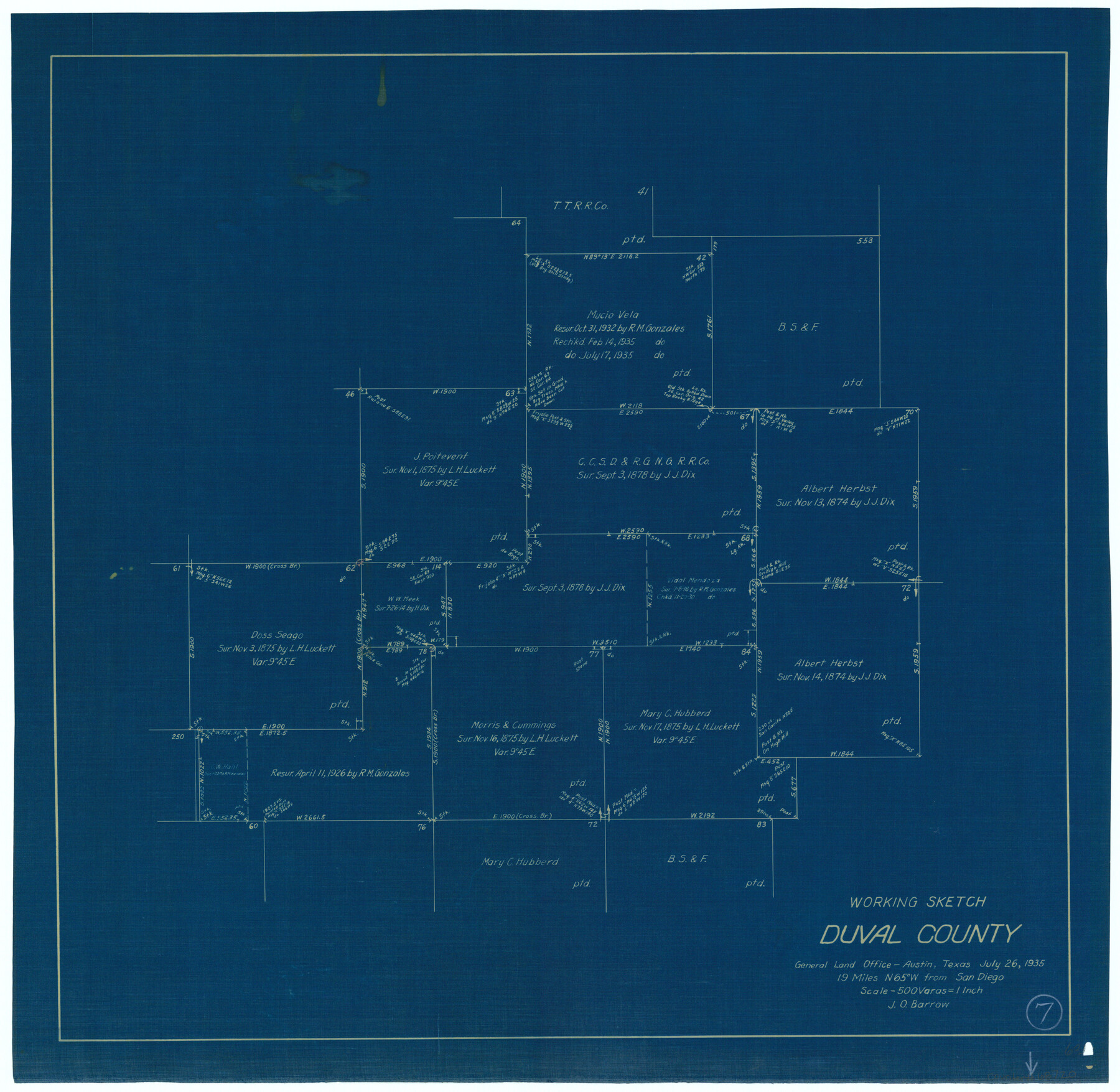
Duval County Working Sketch 7
-
Map/Doc
68720
-
Collection
General Map Collection
-
Object Dates
7/26/1935 (Creation Date)
-
People and Organizations
J.O. Barrow (Draftsman)
-
Counties
Duval
-
Subjects
Surveying Working Sketch
-
Height x Width
24.4 x 25.0 inches
62.0 x 63.5 cm
-
Scale
1" = 500 varas
Part of: General Map Collection
Smith County Rolled Sketch 2

Print $20.00
- Digital $50.00
Smith County Rolled Sketch 2
Size 36.2 x 34.6 inches
Map/Doc 76010
Presidio County Rolled Sketch 105B

Print $20.00
- Digital $50.00
Presidio County Rolled Sketch 105B
Size 46.5 x 36.5 inches
Map/Doc 9789
Fort Bend County Sketch File 5

Print $4.00
- Digital $50.00
Fort Bend County Sketch File 5
Size 8.2 x 13.0 inches
Map/Doc 22889

Map of the Lands Surveyed by the Memphis, El Paso & Pacific R.R. Company

Print $20.00
- Digital $50.00
Map of the Lands Surveyed by the Memphis, El Paso & Pacific R.R. Company
1860
Size 20.1 x 20.8 inches
Map/Doc 4848
Map of Montague County

Print $20.00
- Digital $50.00
Map of Montague County
1868
Size 19.9 x 16.9 inches
Map/Doc 3888
Starr County Sketch File 43

Print $28.00
- Digital $50.00
Starr County Sketch File 43
1941
Size 14.7 x 9.1 inches
Map/Doc 36991
Howard County Rolled Sketch 11

Print $20.00
- Digital $50.00
Howard County Rolled Sketch 11
1940
Size 21.4 x 30.1 inches
Map/Doc 6242
Flight Mission No. DAG-24K, Frame 42, Matagorda County

Print $20.00
- Digital $50.00
Flight Mission No. DAG-24K, Frame 42, Matagorda County
1953
Size 18.5 x 22.3 inches
Map/Doc 86529
Nueces County Aerial Photograph Index Sheet 23

Print $20.00
- Digital $50.00
Nueces County Aerial Photograph Index Sheet 23
1938
Size 24.4 x 20.3 inches
Map/Doc 86844
Menard County Working Sketch 31

Print $20.00
- Digital $50.00
Menard County Working Sketch 31
1980
Size 25.6 x 24.5 inches
Map/Doc 70978

You may also like
Hudspeth County Working Sketch 22

Print $40.00
- Digital $50.00
Hudspeth County Working Sketch 22
1967
Size 45.8 x 62.8 inches
Map/Doc 66304
Plano del Presidio de Bahia dl Espiritus to dep te d' la Governacion de los Tejas

Plano del Presidio de Bahia dl Espiritus to dep te d' la Governacion de los Tejas
1766
Size 10.2 x 13.0 inches
Map/Doc 96516
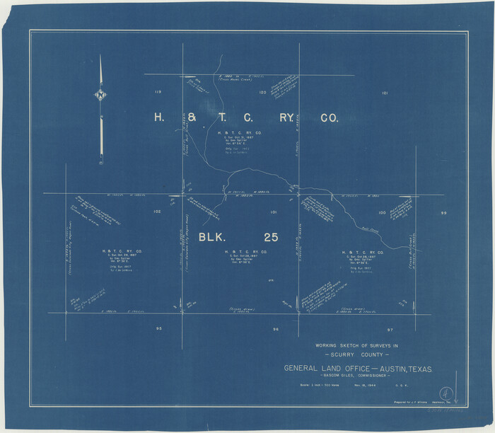
Scurry County Working Sketch 4
Print $20.00
- Digital $50.00
Scurry County Working Sketch 4
Size 23.1 x 26.5 inches
Map/Doc 63833
[State Line - 103rd Meridian - in relation to Leagues]
![91551, [State Line - 103rd Meridian - in relation to Leagues], Twichell Survey Records](https://historictexasmaps.com/wmedia_w700/maps/91551-2.tif.jpg)
Print $20.00
- Digital $50.00
[State Line - 103rd Meridian - in relation to Leagues]
Size 19.9 x 8.3 inches
Map/Doc 91551
![91955, [PSL Block B19], Twichell Survey Records](https://historictexasmaps.com/wmedia_w700/maps/91955-1.tif.jpg)
Upton County Rolled Sketch 20

Print $40.00
- Digital $50.00
Upton County Rolled Sketch 20
1933
Size 53.0 x 36.8 inches
Map/Doc 10041
Montague County Sketch File 1

Print $40.00
- Digital $50.00
Montague County Sketch File 1
1852
Size 19.4 x 12.4 inches
Map/Doc 31709
Flight Mission No. DAG-23K, Frame 172, Matagorda County

Print $20.00
- Digital $50.00
Flight Mission No. DAG-23K, Frame 172, Matagorda County
1953
Size 18.6 x 16.0 inches
Map/Doc 86510
Cass County Rolled Sketch 8

Print $20.00
- Digital $50.00
Cass County Rolled Sketch 8
Size 28.8 x 17.6 inches
Map/Doc 77522
Flight Mission No. CUG-1P, Frame 158, Kleberg County

Print $20.00
- Digital $50.00
Flight Mission No. CUG-1P, Frame 158, Kleberg County
1956
Size 18.5 x 22.3 inches
Map/Doc 86165
Map of Blanco County

Print $20.00
- Digital $50.00
Map of Blanco County
1880
Size 23.9 x 18.2 inches
Map/Doc 3306
[H. & T. C. RR. Company, Block 47 and vicinity]
![91159, [H. & T. C. RR. Company, Block 47 and vicinity], Twichell Survey Records](https://historictexasmaps.com/wmedia_w700/maps/91159-1.tif.jpg)
Print $20.00
- Digital $50.00
[H. & T. C. RR. Company, Block 47 and vicinity]
Size 18.7 x 19.9 inches
Map/Doc 91159