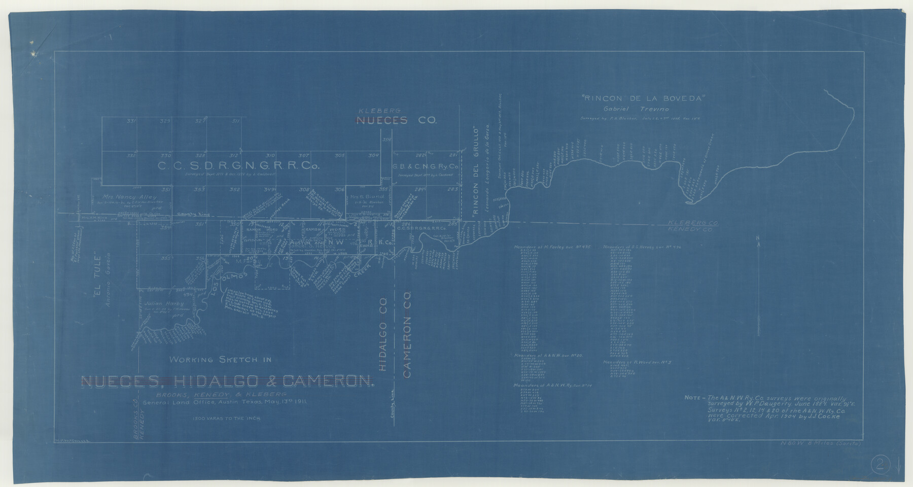
Kenedy County Working Sketch 2b
-
Map/Doc
70004
-
Collection
General Map Collection
-
Object Dates
5/13/1911 (Creation Date)
-
People and Organizations
H.F. McDonald (Draftsman)
-
Counties
Kenedy Kleberg Brooks
-
Subjects
Surveying Working Sketch
-
Height x Width
17.7 x 33.3 inches
45.0 x 84.6 cm
-
Scale
1" = 1500 varas
Part of: General Map Collection
Liberty County Working Sketch 15

Print $20.00
- Digital $50.00
Liberty County Working Sketch 15
1922
Size 19.0 x 15.0 inches
Map/Doc 70474
Hartley County Sketch File 2

Print $22.00
- Digital $50.00
Hartley County Sketch File 2
Size 8.9 x 13.6 inches
Map/Doc 26085
Carson County Boundary File 1

Print $8.00
- Digital $50.00
Carson County Boundary File 1
Size 8.8 x 7.4 inches
Map/Doc 51117
Live Oak County Sketch File 27

Print $4.00
- Digital $50.00
Live Oak County Sketch File 27
1922
Size 14.3 x 8.7 inches
Map/Doc 30312
Map of Upshur County Texas

Print $20.00
- Digital $50.00
Map of Upshur County Texas
1873
Size 20.4 x 15.2 inches
Map/Doc 4635
[T. & G. Ry. Main Line, Texas, Right of Way Map, Center to Gary]
![64568, [T. & G. Ry. Main Line, Texas, Right of Way Map, Center to Gary], General Map Collection](https://historictexasmaps.com/wmedia_w700/maps/64568.tif.jpg)
Print $40.00
- Digital $50.00
[T. & G. Ry. Main Line, Texas, Right of Way Map, Center to Gary]
1917
Size 31.0 x 121.2 inches
Map/Doc 64568
Presidio County Sketch File 88

Print $6.00
- Digital $50.00
Presidio County Sketch File 88
Size 14.5 x 8.8 inches
Map/Doc 34751
Val Verde County Working Sketch 70

Print $20.00
- Digital $50.00
Val Verde County Working Sketch 70
1966
Size 21.2 x 28.0 inches
Map/Doc 72205
Brown County State Real Property Sketch 1

Print $80.00
- Digital $50.00
Brown County State Real Property Sketch 1
2018
Size 48.0 x 36.0 inches
Map/Doc 95204
Pecos County Rolled Sketch 118

Print $20.00
- Digital $50.00
Pecos County Rolled Sketch 118
1941
Size 42.0 x 30.3 inches
Map/Doc 7260
Tarrant County Sketch File 8

Print $4.00
- Digital $50.00
Tarrant County Sketch File 8
1858
Size 8.1 x 10.1 inches
Map/Doc 37687
Travis County Rolled Sketch 55

Print $40.00
- Digital $50.00
Travis County Rolled Sketch 55
Size 43.1 x 50.5 inches
Map/Doc 10020
You may also like
General Highway Map, Swisher County, Texas

Print $20.00
General Highway Map, Swisher County, Texas
1961
Size 18.3 x 25.0 inches
Map/Doc 79663
Chambers County Rolled Sketch 24

Print $40.00
- Digital $50.00
Chambers County Rolled Sketch 24
1940
Size 38.2 x 49.9 inches
Map/Doc 8594
General Highway Map, Leon County, Texas

Print $20.00
General Highway Map, Leon County, Texas
1940
Size 18.3 x 24.9 inches
Map/Doc 79172
Henderson County Rolled Sketch 7

Print $20.00
- Digital $50.00
Henderson County Rolled Sketch 7
1963
Size 22.9 x 41.9 inches
Map/Doc 6203
Briscoe County Sketch File 5

Print $40.00
- Digital $50.00
Briscoe County Sketch File 5
Size 29.8 x 26.5 inches
Map/Doc 10994
Stephens County Sketch File 21

Print $20.00
- Digital $50.00
Stephens County Sketch File 21
Size 25.3 x 19.6 inches
Map/Doc 12351
The Great Texas Route via the Beautiful Indian Territory / The Great Kansas Route via the Picturesque Valley of the Neosho

Print $20.00
- Digital $50.00
The Great Texas Route via the Beautiful Indian Territory / The Great Kansas Route via the Picturesque Valley of the Neosho
1876
Size 12.1 x 17.4 inches
Map/Doc 95804
Webb County Sketch File 14-1

Print $6.00
- Digital $50.00
Webb County Sketch File 14-1
1892
Size 14.4 x 9.1 inches
Map/Doc 39814
Aransas County Working Sketch 18

Print $20.00
- Digital $50.00
Aransas County Working Sketch 18
1961
Size 36.0 x 30.7 inches
Map/Doc 67185
Chambers County Rolled Sketch 21

Print $20.00
- Digital $50.00
Chambers County Rolled Sketch 21
1940
Size 42.2 x 44.9 inches
Map/Doc 8590
Reagan County Rolled Sketch FF

Print $20.00
- Digital $50.00
Reagan County Rolled Sketch FF
Size 35.0 x 17.8 inches
Map/Doc 7451
[Pencil sketch around the Fred Mohler survey 19]
![92994, [Pencil sketch around the Fred Mohler survey 19], Twichell Survey Records](https://historictexasmaps.com/wmedia_w700/maps/92994-1.tif.jpg)
Print $3.00
- Digital $50.00
[Pencil sketch around the Fred Mohler survey 19]
Size 14.1 x 10.4 inches
Map/Doc 92994