[Young Territory]

Print $40.00
- Digital $50.00
[Young Territory]
1875
Size: 49.0 x 87.4 inches
16784
[Texas Panhandle North Boundary Line]
Print $20.00
- Digital $50.00
[Texas Panhandle North Boundary Line]
1898
Size: 43.6 x 11.4 inches
1714
[Texas Panhandle North Boundary Line]

Print $20.00
- Digital $50.00
[Texas Panhandle North Boundary Line]
1898
Size: 11.9 x 46.1 inches
1737
[North line of Sherman, Hansford, Ochiltree and Lipscomb Counties]

Print $40.00
- Digital $50.00
[North line of Sherman, Hansford, Ochiltree and Lipscomb Counties]
Size: 127.0 x 14.3 inches
93189
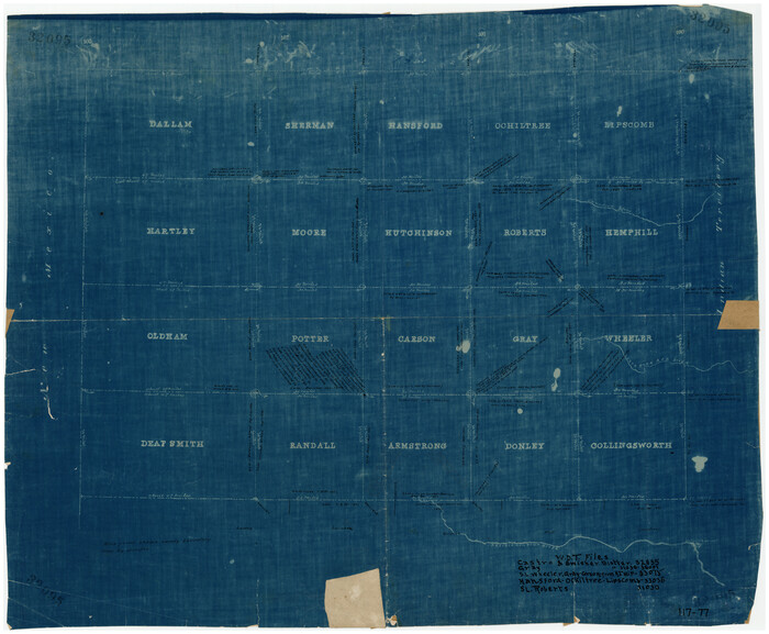
[Map of Panhandle Counties]
Print $20.00
- Digital $50.00
[Map of Panhandle Counties]
Size: 27.4 x 22.9 inches
91170
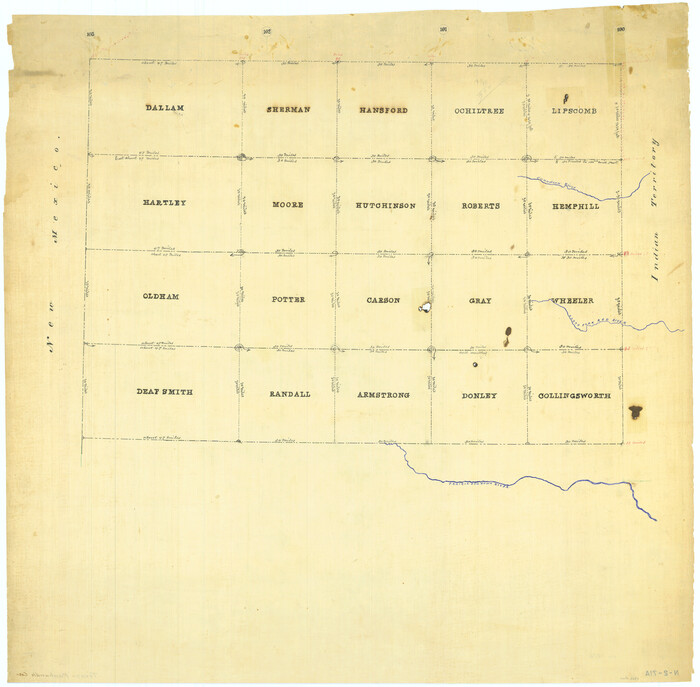
[Map Showing Panhandle Counties in Texas]
Print $20.00
- Digital $50.00
[Map Showing Panhandle Counties in Texas]
1876
Size: 27.3 x 27.9 inches
2087
Texas Panhandle North Boundary Line

Print $40.00
- Digital $50.00
Texas Panhandle North Boundary Line
1898
Size: 13.4 x 125.2 inches
1738
Roberts County Working Sketch 4

Print $20.00
- Digital $50.00
Roberts County Working Sketch 4
1945
Size: 37.1 x 32.8 inches
63530
Roberts County Working Sketch 25

Print $20.00
- Digital $50.00
Roberts County Working Sketch 25
1982
Size: 23.0 x 20.4 inches
63551
Roberts County Sketch File 10

Print $32.00
- Digital $50.00
Roberts County Sketch File 10
2016
Size: 11.0 x 8.5 inches
94070
Roberts County Sketch File 1

Print $20.00
- Digital $50.00
Roberts County Sketch File 1
Size: 39.2 x 22.3 inches
10589
Roberts County Rolled Sketch 5

Print $20.00
- Digital $50.00
Roberts County Rolled Sketch 5
2015
Size: 42.6 x 25.0 inches
94071
Ochiltree County, Texas

Print $20.00
- Digital $50.00
Ochiltree County, Texas
1870
Size: 21.4 x 19.7 inches
507
Ochiltree County Working Sketch Graphic Index

Print $20.00
- Digital $50.00
Ochiltree County Working Sketch Graphic Index
1958
Size: 41.5 x 32.8 inches
76656
Ochiltree County Working Sketch 9

Print $20.00
- Digital $50.00
Ochiltree County Working Sketch 9
1990
Size: 37.1 x 37.4 inches
71322
Ochiltree County Working Sketch 8

Print $20.00
- Digital $50.00
Ochiltree County Working Sketch 8
1982
Size: 23.4 x 20.8 inches
71321
Ochiltree County Working Sketch 7

Print $40.00
- Digital $50.00
Ochiltree County Working Sketch 7
1968
Size: 26.8 x 56.6 inches
71320
Ochiltree County Working Sketch 6

Print $20.00
- Digital $50.00
Ochiltree County Working Sketch 6
1962
Size: 31.1 x 22.9 inches
71319
Ochiltree County Working Sketch 5

Print $40.00
- Digital $50.00
Ochiltree County Working Sketch 5
1961
Size: 110.0 x 37.3 inches
71318
Ochiltree County Working Sketch 4

Print $40.00
- Digital $50.00
Ochiltree County Working Sketch 4
1961
Size: 89.2 x 38.4 inches
71317
Ochiltree County Working Sketch 3

Print $40.00
- Digital $50.00
Ochiltree County Working Sketch 3
1961
Size: 111.8 x 37.5 inches
71316
Ochiltree County Working Sketch 2

Print $20.00
- Digital $50.00
Ochiltree County Working Sketch 2
1959
Size: 23.9 x 20.8 inches
71315
Ochiltree County Working Sketch 1

Print $20.00
- Digital $50.00
Ochiltree County Working Sketch 1
1954
Size: 16.7 x 11.6 inches
71314
Ochiltree County State of Texas

Print $20.00
- Digital $50.00
Ochiltree County State of Texas
1889
Size: 25.5 x 19.0 inches
4609
Ochiltree County Sketch File A

Print $22.00
- Digital $50.00
Ochiltree County Sketch File A
1888
Size: 8.7 x 5.7 inches
33167
Ochiltree County Sketch File 9

Print $14.00
- Digital $50.00
Ochiltree County Sketch File 9
1934
Size: 11.1 x 8.8 inches
33194
Ochiltree County Sketch File 8

Print $16.00
- Digital $50.00
Ochiltree County Sketch File 8
1933
Size: 11.2 x 8.7 inches
33186
Ochiltree County Sketch File 7

Print $20.00
- Digital $50.00
Ochiltree County Sketch File 7
Size: 14.5 x 26.1 inches
42204
Ochiltree County Sketch File 6

Print $20.00
- Digital $50.00
Ochiltree County Sketch File 6
1930
Size: 9.5 x 32.7 inches
42203
Ochiltree County Sketch File 5

Print $4.00
- Digital $50.00
Ochiltree County Sketch File 5
Size: 14.5 x 8.9 inches
33184
[Young Territory]
Print $40.00
- Digital $50.00
[Young Territory]
1875
-
Size
49.0 x 87.4 inches
-
Map/Doc
16784
-
Creation Date
1875
[Texas Panhandle North Boundary Line]
Print $20.00
- Digital $50.00
[Texas Panhandle North Boundary Line]
1898
-
Size
43.6 x 11.4 inches
-
Map/Doc
1714
-
Creation Date
1898
[Texas Panhandle North Boundary Line]
Print $20.00
- Digital $50.00
[Texas Panhandle North Boundary Line]
1898
-
Size
11.9 x 46.1 inches
-
Map/Doc
1737
-
Creation Date
1898
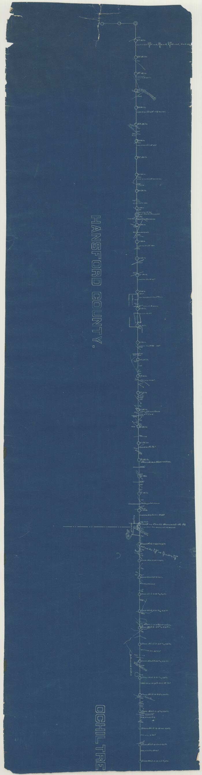
[North line of Sherman, Hansford, Ochiltree and Lipscomb Counties]
Print $40.00
- Digital $50.00
[North line of Sherman, Hansford, Ochiltree and Lipscomb Counties]
-
Size
127.0 x 14.3 inches
-
Map/Doc
93189
[Map of Panhandle Counties]
Print $20.00
- Digital $50.00
[Map of Panhandle Counties]
-
Size
27.4 x 22.9 inches
-
Map/Doc
91170
[Map Showing Panhandle Counties in Texas]
Print $20.00
- Digital $50.00
[Map Showing Panhandle Counties in Texas]
1876
-
Size
27.3 x 27.9 inches
-
Map/Doc
2087
-
Creation Date
1876
Texas Panhandle North Boundary Line
Print $40.00
- Digital $50.00
Texas Panhandle North Boundary Line
1898
-
Size
13.4 x 125.2 inches
-
Map/Doc
1738
-
Creation Date
1898
Roberts County Working Sketch 4
Print $20.00
- Digital $50.00
Roberts County Working Sketch 4
1945
-
Size
37.1 x 32.8 inches
-
Map/Doc
63530
-
Creation Date
1945
Roberts County Working Sketch 25
Print $20.00
- Digital $50.00
Roberts County Working Sketch 25
1982
-
Size
23.0 x 20.4 inches
-
Map/Doc
63551
-
Creation Date
1982
Roberts County Sketch File 10
Print $32.00
- Digital $50.00
Roberts County Sketch File 10
2016
-
Size
11.0 x 8.5 inches
-
Map/Doc
94070
-
Creation Date
2016
Roberts County Sketch File 1
Print $20.00
- Digital $50.00
Roberts County Sketch File 1
-
Size
39.2 x 22.3 inches
-
Map/Doc
10589
Roberts County Rolled Sketch 5
Print $20.00
- Digital $50.00
Roberts County Rolled Sketch 5
2015
-
Size
42.6 x 25.0 inches
-
Map/Doc
94071
-
Creation Date
2015
Ochiltree County, Texas
Print $20.00
- Digital $50.00
Ochiltree County, Texas
1870
-
Size
21.4 x 19.7 inches
-
Map/Doc
507
-
Creation Date
1870
Ochiltree County Working Sketch Graphic Index
Print $20.00
- Digital $50.00
Ochiltree County Working Sketch Graphic Index
1958
-
Size
41.5 x 32.8 inches
-
Map/Doc
76656
-
Creation Date
1958
Ochiltree County Working Sketch 9
Print $20.00
- Digital $50.00
Ochiltree County Working Sketch 9
1990
-
Size
37.1 x 37.4 inches
-
Map/Doc
71322
-
Creation Date
1990
Ochiltree County Working Sketch 8
Print $20.00
- Digital $50.00
Ochiltree County Working Sketch 8
1982
-
Size
23.4 x 20.8 inches
-
Map/Doc
71321
-
Creation Date
1982
Ochiltree County Working Sketch 7
Print $40.00
- Digital $50.00
Ochiltree County Working Sketch 7
1968
-
Size
26.8 x 56.6 inches
-
Map/Doc
71320
-
Creation Date
1968
Ochiltree County Working Sketch 6
Print $20.00
- Digital $50.00
Ochiltree County Working Sketch 6
1962
-
Size
31.1 x 22.9 inches
-
Map/Doc
71319
-
Creation Date
1962
Ochiltree County Working Sketch 5
Print $40.00
- Digital $50.00
Ochiltree County Working Sketch 5
1961
-
Size
110.0 x 37.3 inches
-
Map/Doc
71318
-
Creation Date
1961
Ochiltree County Working Sketch 4
Print $40.00
- Digital $50.00
Ochiltree County Working Sketch 4
1961
-
Size
89.2 x 38.4 inches
-
Map/Doc
71317
-
Creation Date
1961
Ochiltree County Working Sketch 3
Print $40.00
- Digital $50.00
Ochiltree County Working Sketch 3
1961
-
Size
111.8 x 37.5 inches
-
Map/Doc
71316
-
Creation Date
1961
Ochiltree County Working Sketch 2
Print $20.00
- Digital $50.00
Ochiltree County Working Sketch 2
1959
-
Size
23.9 x 20.8 inches
-
Map/Doc
71315
-
Creation Date
1959
Ochiltree County Working Sketch 1
Print $20.00
- Digital $50.00
Ochiltree County Working Sketch 1
1954
-
Size
16.7 x 11.6 inches
-
Map/Doc
71314
-
Creation Date
1954
Ochiltree County State of Texas
Print $20.00
- Digital $50.00
Ochiltree County State of Texas
1889
-
Size
25.5 x 19.0 inches
-
Map/Doc
4609
-
Creation Date
1889
Ochiltree County Sketch File A
Print $22.00
- Digital $50.00
Ochiltree County Sketch File A
1888
-
Size
8.7 x 5.7 inches
-
Map/Doc
33167
-
Creation Date
1888
Ochiltree County Sketch File 9
Print $14.00
- Digital $50.00
Ochiltree County Sketch File 9
1934
-
Size
11.1 x 8.8 inches
-
Map/Doc
33194
-
Creation Date
1934
Ochiltree County Sketch File 8
Print $16.00
- Digital $50.00
Ochiltree County Sketch File 8
1933
-
Size
11.2 x 8.7 inches
-
Map/Doc
33186
-
Creation Date
1933
Ochiltree County Sketch File 7
Print $20.00
- Digital $50.00
Ochiltree County Sketch File 7
-
Size
14.5 x 26.1 inches
-
Map/Doc
42204
Ochiltree County Sketch File 6
Print $20.00
- Digital $50.00
Ochiltree County Sketch File 6
1930
-
Size
9.5 x 32.7 inches
-
Map/Doc
42203
-
Creation Date
1930
Ochiltree County Sketch File 5
Print $4.00
- Digital $50.00
Ochiltree County Sketch File 5
-
Size
14.5 x 8.9 inches
-
Map/Doc
33184