Ochiltree County Sketch File 7
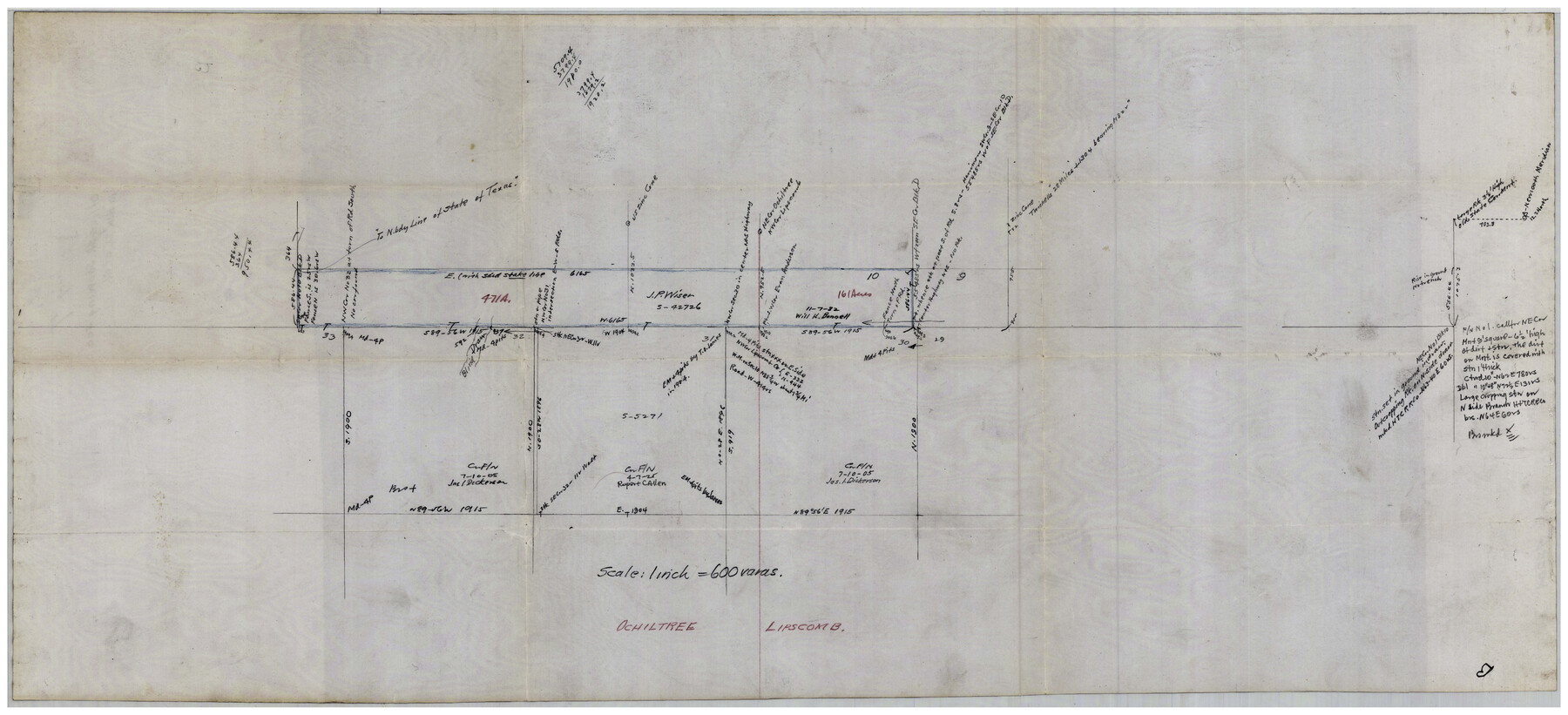
[Sketch of section 10, Block D in northeast corner of the county]
-
Map/Doc
42204
-
Collection
General Map Collection
-
Counties
Ochiltree Lipscomb
-
Subjects
Surveying Sketch File
-
Height x Width
14.5 x 26.1 inches
36.8 x 66.3 cm
-
Medium
paper, manuscript
-
Features
Blind Draw
Part of: General Map Collection
Map of Jefferson County

Print $20.00
- Digital $50.00
Map of Jefferson County
1840
Size 34.8 x 27.0 inches
Map/Doc 3726
Frio County Working Sketch 9

Print $20.00
- Digital $50.00
Frio County Working Sketch 9
1949
Size 30.1 x 25.6 inches
Map/Doc 69283
San Patricio County Rolled Sketch 54

Print $20.00
- Digital $50.00
San Patricio County Rolled Sketch 54
1995
Size 25.3 x 36.5 inches
Map/Doc 7740
Medina County Sketch File 11

Print $14.00
- Digital $50.00
Medina County Sketch File 11
1907
Size 10.4 x 6.6 inches
Map/Doc 31461
Tyler County Sketch File 1a

Print $4.00
- Digital $50.00
Tyler County Sketch File 1a
1855
Size 8.2 x 10.3 inches
Map/Doc 38609
Menard County Sketch File 22

Print $8.00
- Digital $50.00
Menard County Sketch File 22
1927
Size 7.4 x 8.6 inches
Map/Doc 31553


Navarro County Sketch File 20

Print $14.00
- Digital $50.00
Navarro County Sketch File 20
1967
Size 14.3 x 8.8 inches
Map/Doc 32343
Atlantic Coast to the Rocky Mountains

Atlantic Coast to the Rocky Mountains
1956
Size 42.5 x 29.4 inches
Map/Doc 94409
Crockett County Sketch File 76

Print $2.00
- Digital $50.00
Crockett County Sketch File 76
1933
Size 11.2 x 8.6 inches
Map/Doc 19876
Mitchell County Working Sketch 8

Print $20.00
- Digital $50.00
Mitchell County Working Sketch 8
1975
Size 31.9 x 26.3 inches
Map/Doc 71065
You may also like
Ellwood Farms Subdivision Number 2 of the Spade Ranch

Print $20.00
- Digital $50.00
Ellwood Farms Subdivision Number 2 of the Spade Ranch
Size 21.9 x 31.4 inches
Map/Doc 90986
Angelina County Working Sketch 45

Print $20.00
- Digital $50.00
Angelina County Working Sketch 45
1976
Size 25.8 x 29.7 inches
Map/Doc 67128
Part of the boundary between the United States and Texas; north of Sabine River, from the 72nd mile mound to the Red River

Print $3.00
- Digital $50.00
Part of the boundary between the United States and Texas; north of Sabine River, from the 72nd mile mound to the Red River
1842
Size 12.8 x 8.1 inches
Map/Doc 93771
Crane County Rolled Sketch 5

Print $20.00
- Digital $50.00
Crane County Rolled Sketch 5
1927
Size 38.4 x 45.7 inches
Map/Doc 8677
General Highway Map, Edwards County, Real County, Texas

Print $20.00
General Highway Map, Edwards County, Real County, Texas
1940
Size 18.3 x 24.8 inches
Map/Doc 79082
DeWitt County Sketch File 13

Print $8.00
- Digital $50.00
DeWitt County Sketch File 13
1845
Size 12.8 x 8.2 inches
Map/Doc 20824
Terrell County Rolled Sketch 51B

Print $20.00
- Digital $50.00
Terrell County Rolled Sketch 51B
1957
Size 23.0 x 23.8 inches
Map/Doc 7969
Hunt County Working Sketch 2

Print $20.00
- Digital $50.00
Hunt County Working Sketch 2
Size 20.5 x 16.5 inches
Map/Doc 66349
Reagan County Working Sketch 42

Print $20.00
- Digital $50.00
Reagan County Working Sketch 42
1973
Size 19.9 x 37.0 inches
Map/Doc 71884
Brewster County Working Sketch 85

Print $20.00
- Digital $50.00
Brewster County Working Sketch 85
1973
Size 43.2 x 34.0 inches
Map/Doc 67685
Dickens County Sketch File 38

Print $4.00
- Digital $50.00
Dickens County Sketch File 38
1904
Size 10.8 x 7.3 inches
Map/Doc 21048
