
Land grants from the state of Tamaulipas in the trans-Nueces
2009
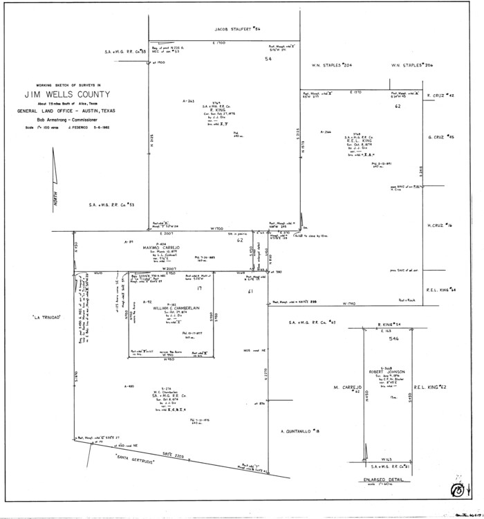
Jim Wells County Working Sketch 15
1982
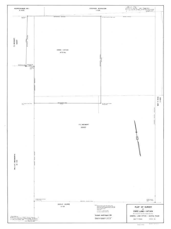
Jim Wells County Rolled Sketch 1
1981
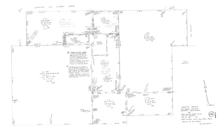
Jim Wells County Working Sketch 14
1981

Jim Wells County Working Sketch 13
1980
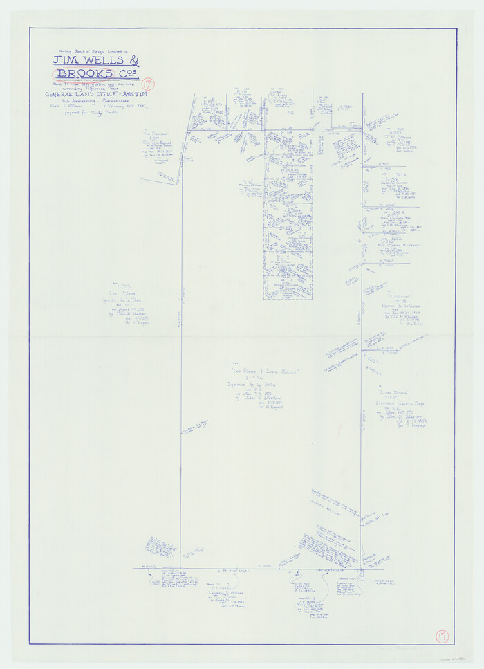
Brooks County Working Sketch 17
1980

Jim Wells County Working Sketch Graphic Index
1966
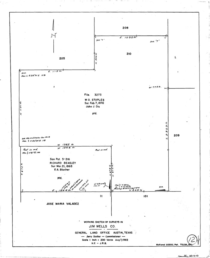
Jim Wells County Working Sketch 12
1962
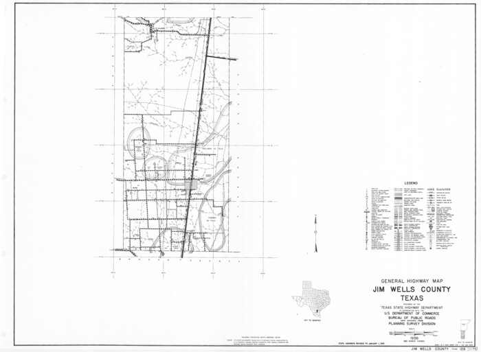
General Highway Map, Jim Wells County, Texas
1961
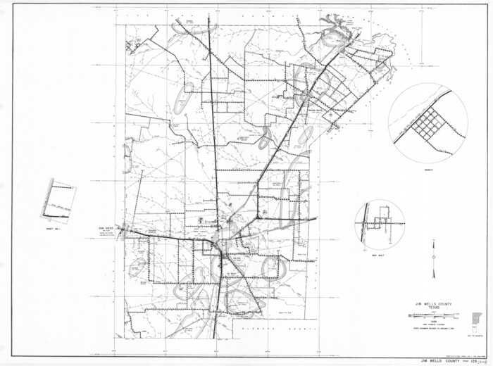
General Highway Map, Jim Wells County, Texas
1961

General Highway Map. Detail of Cities and Towns in Jim Wells County, Texas. City Map of Alice, Jim Wells County, Texas
1961

Jim Wells County Working Sketch 11
1953

Jim Wells County Working Sketch 10
1952

Jim Wells County Working Sketch 9
1948
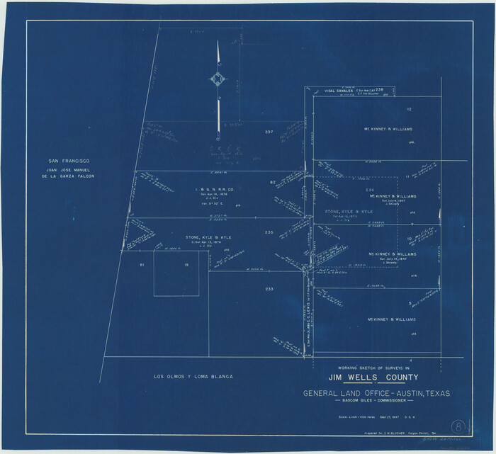
Jim Wells County Working Sketch 8
1947

Duval County Rolled Sketch 24
1944
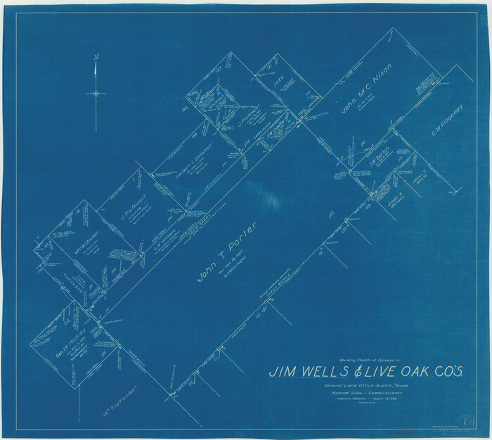
Jim Wells County Working Sketch 7
1944
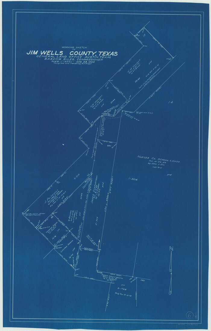
Jim Wells County Working Sketch 6
1943
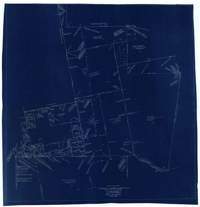
Jim Wells County Working Sketch 5
1942

General Highway Map, Jim Wells County, Texas
1940
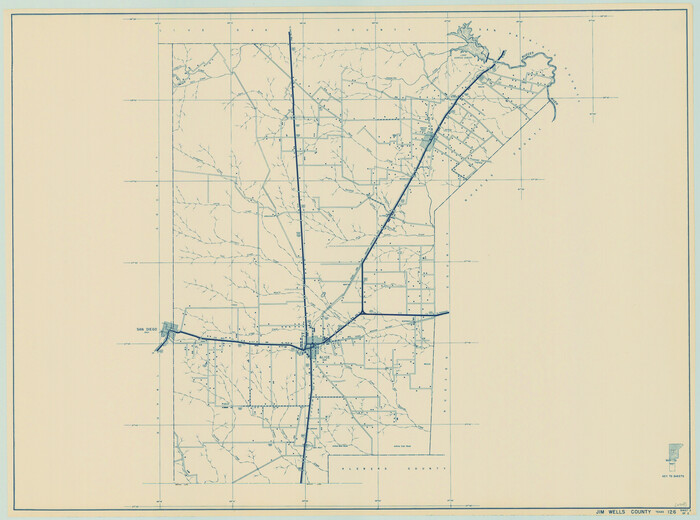
General Highway Map, Jim Wells County, Texas
1940
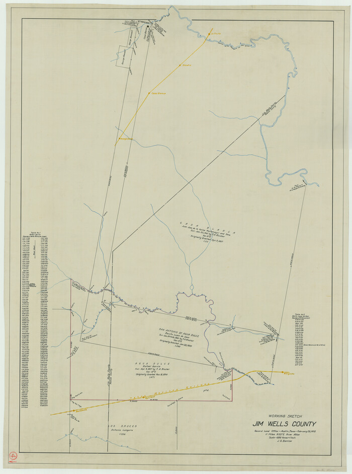
Jim Wells County Working Sketch 4
1938
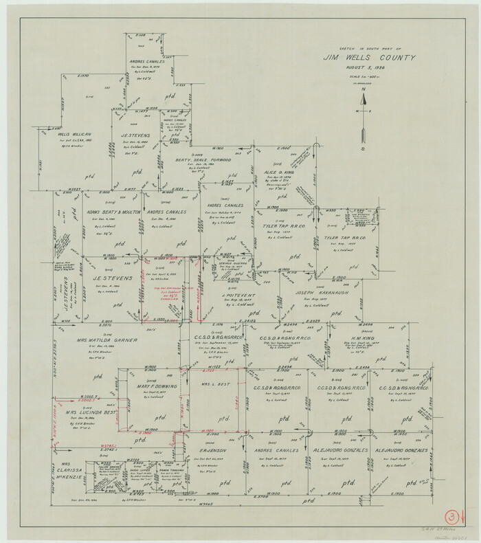
Jim Wells County Working Sketch 3
1936
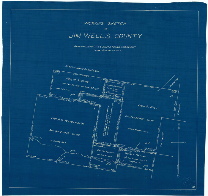
Jim Wells County Working Sketch 2
1931
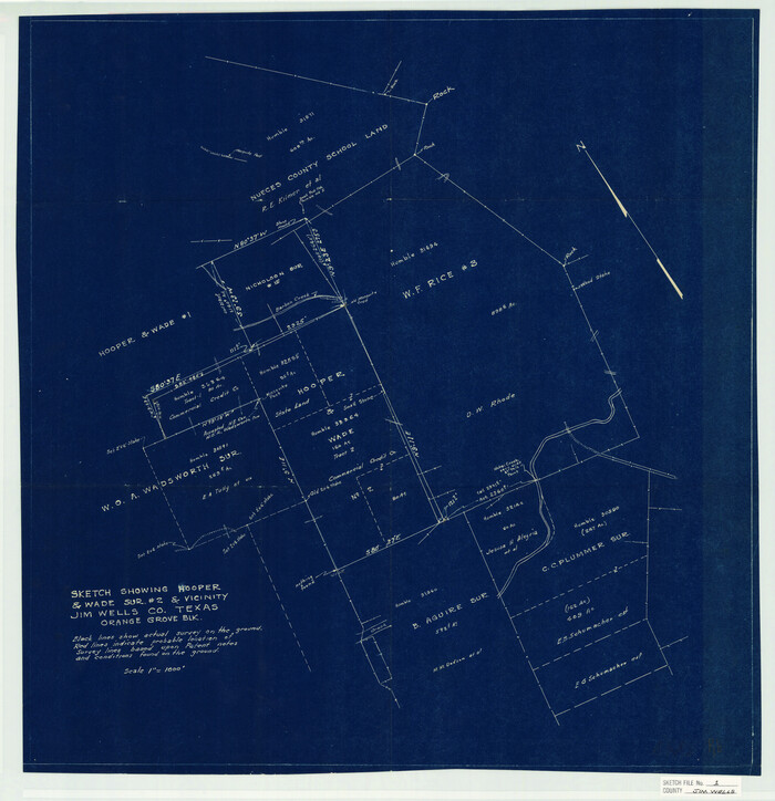
Jim Wells County Sketch File 1
1931
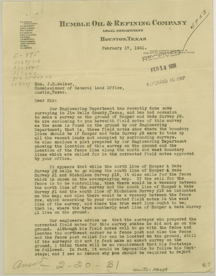
Jim Wells County Sketch File 2
1931

Land grants from the state of Tamaulipas in the trans-Nueces
2009
-
Size
11.0 x 8.5 inches
-
Map/Doc
94040
-
Creation Date
2009

Jim Wells County Working Sketch 15
1982
-
Size
29.1 x 27.2 inches
-
Map/Doc
66613
-
Creation Date
1982

Jim Wells County Rolled Sketch 1
1981
-
Size
43.2 x 32.4 inches
-
Map/Doc
9324
-
Creation Date
1981

Jim Wells County Working Sketch 14
1981
-
Size
18.1 x 30.0 inches
-
Map/Doc
66612
-
Creation Date
1981

Jim Wells County Working Sketch 13
1980
-
Size
36.7 x 26.3 inches
-
Map/Doc
66611
-
Creation Date
1980

Brooks County Working Sketch 17
1980
-
Size
38.2 x 27.7 inches
-
Map/Doc
67801
-
Creation Date
1980
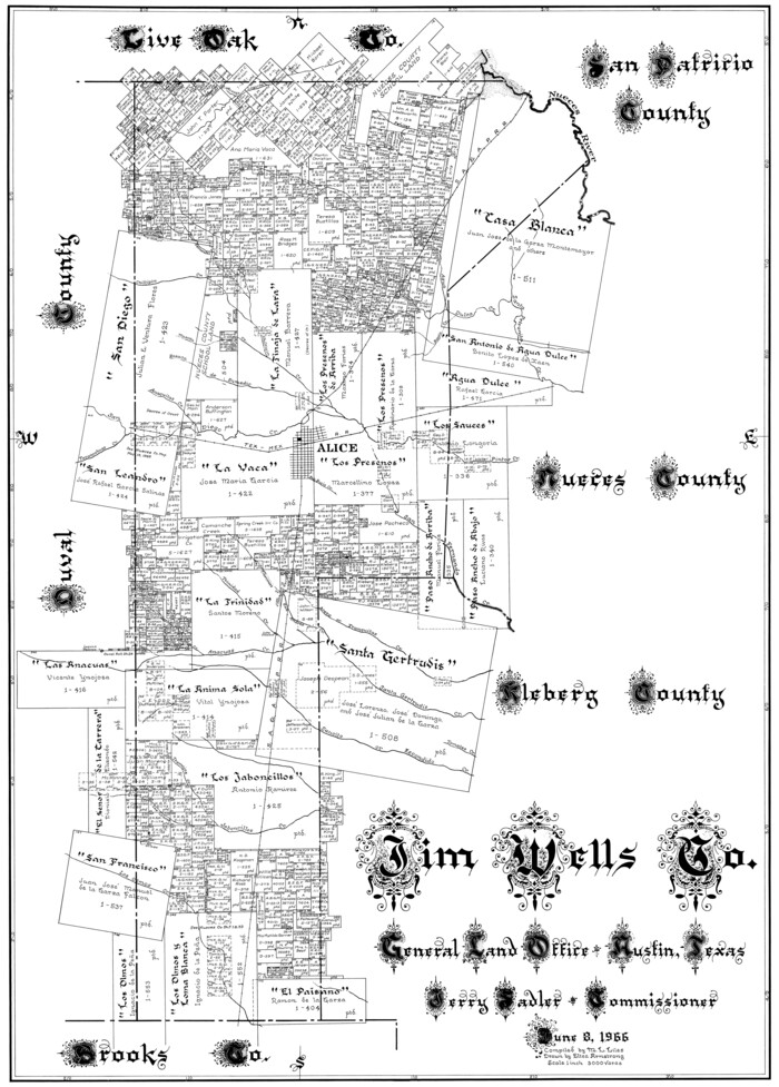
Jim Wells Co.
1966
-
Size
40.3 x 28.9 inches
-
Map/Doc
77331
-
Creation Date
1966
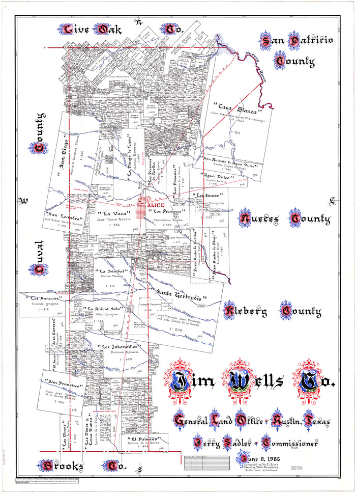
Jim Wells Co.
1966
-
Size
43.8 x 32.4 inches
-
Map/Doc
95548
-
Creation Date
1966

Jim Wells Co.
1966
-
Size
42.7 x 31.0 inches
-
Map/Doc
73198
-
Creation Date
1966

Jim Wells County Working Sketch Graphic Index
1966
-
Size
41.7 x 29.5 inches
-
Map/Doc
76597
-
Creation Date
1966

Jim Wells County Working Sketch 12
1962
-
Size
19.2 x 15.6 inches
-
Map/Doc
66610
-
Creation Date
1962

General Highway Map, Jim Wells County, Texas
1961
-
Size
18.1 x 24.7 inches
-
Map/Doc
79542
-
Creation Date
1961

General Highway Map, Jim Wells County, Texas
1961
-
Size
18.2 x 24.6 inches
-
Map/Doc
79543
-
Creation Date
1961

General Highway Map. Detail of Cities and Towns in Jim Wells County, Texas. City Map of Alice, Jim Wells County, Texas
1961
-
Size
24.6 x 18.3 inches
-
Map/Doc
79544
-
Creation Date
1961

Jim Wells County Working Sketch 11
1953
-
Size
20.4 x 22.6 inches
-
Map/Doc
66609
-
Creation Date
1953
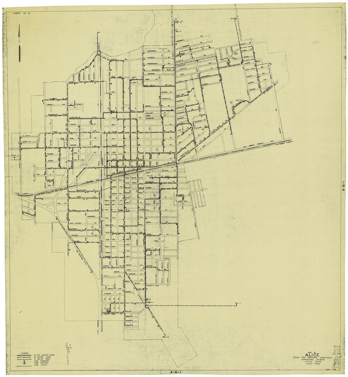
Map of Alice
1952
-
Size
35.5 x 32.8 inches
-
Map/Doc
2212
-
Creation Date
1952

Jim Wells County Working Sketch 10
1952
-
Size
18.7 x 17.8 inches
-
Map/Doc
66608
-
Creation Date
1952

Jim Wells County Working Sketch 9
1948
-
Size
34.1 x 38.9 inches
-
Map/Doc
66607
-
Creation Date
1948

Jim Wells County Working Sketch 8
1947
-
Size
23.8 x 26.0 inches
-
Map/Doc
66606
-
Creation Date
1947

Duval County Rolled Sketch 24
1944
-
Size
24.5 x 42.3 inches
-
Map/Doc
5743
-
Creation Date
1944

Jim Wells County Working Sketch 7
1944
-
Size
26.2 x 29.3 inches
-
Map/Doc
66605
-
Creation Date
1944

Jim Wells County Working Sketch 6
1943
-
Size
33.3 x 21.2 inches
-
Map/Doc
66604
-
Creation Date
1943

Jim Wells County Working Sketch 5
1942
-
Size
44.3 x 42.9 inches
-
Map/Doc
66603
-
Creation Date
1942

General Highway Map, Jim Wells County, Texas
1940
-
Size
18.4 x 24.8 inches
-
Map/Doc
79147
-
Creation Date
1940

General Highway Map, Jim Wells County, Texas
1940
-
Size
18.4 x 24.8 inches
-
Map/Doc
79148
-
Creation Date
1940

Jim Wells County Working Sketch 4
1938
-
Size
44.1 x 32.8 inches
-
Map/Doc
66602
-
Creation Date
1938

Jim Wells County Working Sketch 3
1936
-
Size
27.7 x 24.5 inches
-
Map/Doc
66601
-
Creation Date
1936

Jim Wells County Working Sketch 2
1931
-
Size
17.0 x 18.0 inches
-
Map/Doc
66600
-
Creation Date
1931

Jim Wells County Sketch File 1
1931
-
Size
22.9 x 22.1 inches
-
Map/Doc
11889
-
Creation Date
1931

Jim Wells County Sketch File 2
1931
-
Size
11.1 x 8.7 inches
-
Map/Doc
28424
-
Creation Date
1931