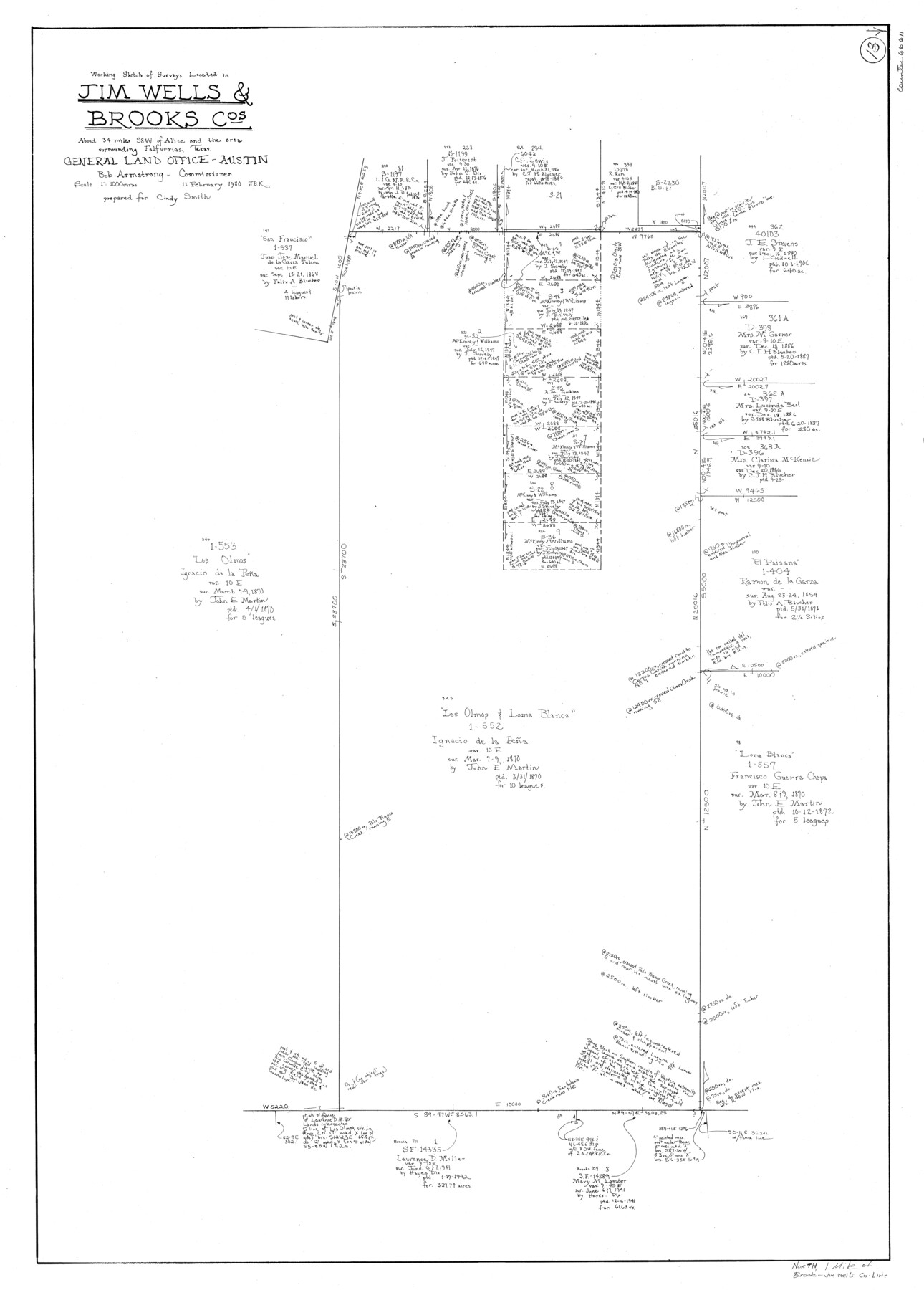
Jim Wells County Working Sketch 13
-
Map/Doc
66611
-
Collection
General Map Collection
-
Object Dates
2/11/1980 (Creation Date)
-
People and Organizations
Joan Kilpatrick (Draftsman)
-
Counties
Jim Wells Brooks
-
Subjects
Surveying Working Sketch
-
Height x Width
36.7 x 26.3 inches
93.2 x 66.8 cm
-
Scale
1" = 1000 varas
Part of: General Map Collection
Fort Bend County Sketch File 35

Print $4.00
- Digital $50.00
Fort Bend County Sketch File 35
Size 11.5 x 7.3 inches
Map/Doc 23005
Andrews County Rolled Sketch 46

Print $40.00
- Digital $50.00
Andrews County Rolled Sketch 46
2013
Size 52.0 x 36.0 inches
Map/Doc 93641
United States Bathymetric and Fishing Maps including Topographic/Bathymetric Maps

Print $40.00
- Digital $50.00
United States Bathymetric and Fishing Maps including Topographic/Bathymetric Maps
1989
Size 21.8 x 54.8 inches
Map/Doc 73556
Coleman County Sketch File 24

Print $6.00
- Digital $50.00
Coleman County Sketch File 24
1872
Size 8.7 x 7.8 inches
Map/Doc 18705
San Jacinto County Working Sketch 16

Print $20.00
- Digital $50.00
San Jacinto County Working Sketch 16
1934
Size 35.7 x 42.2 inches
Map/Doc 63729
San Saba County Rolled Sketch 2

Print $20.00
- Digital $50.00
San Saba County Rolled Sketch 2
Size 38.9 x 20.7 inches
Map/Doc 7743
Denton County Sketch File 12

Print $4.00
- Digital $50.00
Denton County Sketch File 12
1856
Size 8.3 x 10.3 inches
Map/Doc 20711
Map of the country adjacent to the left bank of the Rio Grande below Matamoros

Print $20.00
- Digital $50.00
Map of the country adjacent to the left bank of the Rio Grande below Matamoros
1847
Size 18.3 x 27.3 inches
Map/Doc 72868
Borden County Boundary File 3

Print $62.00
- Digital $50.00
Borden County Boundary File 3
1908
Size 28.7 x 82.9 inches
Map/Doc 1695

Trinity County Sketch File 16

Print $4.00
- Digital $50.00
Trinity County Sketch File 16
1879
Size 8.2 x 11.1 inches
Map/Doc 38544
Flight Mission No. DIX-6P, Frame 110, Aransas County

Print $20.00
- Digital $50.00
Flight Mission No. DIX-6P, Frame 110, Aransas County
1956
Size 19.7 x 23.4 inches
Map/Doc 83816
You may also like
Uvalde County Working Sketch 59

Print $20.00
- Digital $50.00
Uvalde County Working Sketch 59
1989
Size 25.1 x 39.1 inches
Map/Doc 72129
Plan of the Battle of Buena-Vista fought February 22nd and 23rd, 1847

Print $20.00
- Digital $50.00
Plan of the Battle of Buena-Vista fought February 22nd and 23rd, 1847
1847
Size 17.6 x 21.6 inches
Map/Doc 95829
Briscoe County Sketch File M

Print $40.00
- Digital $50.00
Briscoe County Sketch File M
Size 36.1 x 28.0 inches
Map/Doc 11010

Hansford County Sketch File 3

Print $20.00
- Digital $50.00
Hansford County Sketch File 3
Size 18.6 x 23.1 inches
Map/Doc 11620
Worley's Map of Greater Dallas

Print $20.00
Worley's Map of Greater Dallas
1905
Size 34.9 x 25.4 inches
Map/Doc 79319
Flight Mission No. BRE-1P, Frame 104, Nueces County

Print $20.00
- Digital $50.00
Flight Mission No. BRE-1P, Frame 104, Nueces County
1956
Size 18.4 x 22.2 inches
Map/Doc 86675
Rusk County Working Sketch 6

Print $20.00
- Digital $50.00
Rusk County Working Sketch 6
1982
Size 32.8 x 32.9 inches
Map/Doc 63641
Right of Way and Track Map, Texas & New Orleans R.R. Co. operated by the T. & N. O. R.R. Co., Dallas-Sabine Branch

Print $40.00
- Digital $50.00
Right of Way and Track Map, Texas & New Orleans R.R. Co. operated by the T. & N. O. R.R. Co., Dallas-Sabine Branch
1918
Size 24.9 x 56.9 inches
Map/Doc 64630
Hamilton Dam, Reservoir Clearing

Print $4.00
- Digital $50.00
Hamilton Dam, Reservoir Clearing
1936
Size 10.5 x 28.9 inches
Map/Doc 2096
Smith County Working Sketch Graphic Index

Print $20.00
- Digital $50.00
Smith County Working Sketch Graphic Index
1948
Size 44.7 x 41.1 inches
Map/Doc 76699
Webb County Boundary File 5

Print $165.00
- Digital $50.00
Webb County Boundary File 5
Size 14.2 x 8.8 inches
Map/Doc 59765